Filters: Tags: Cedar City (X)
20 results (10ms)|
Filters
Date Range
Types Contacts
Categories Tag Types Tag Schemes |
These data were collected as part of a field trial to test the effectiveness of a sylvatic plague vaccine (see Rocke et al., 2017 for details). Vaccine and control plots were selected randomly from the available pairs at each location. Baits containing Rhodamine B, a biomarker, were distributed at each plot. At least 1 week and no more than 2 months post-baiting each year, local collaborators captured, marked, and sampled prairie dogs. Hair and whisker samples were collected from up to 50 unique prairie dogs from each plot each year. Sex, age, weight, and the identity of all current-year and prior-year recaptures were recorded for each captured animal. In the laboratory, hair/whiskers were assessed for the presence...
Categories: Data;
Types: Map Service,
OGC WFS Layer,
OGC WMS Layer,
OGC WMS Service;
Tags: Arizona,
Awapa Plateau,
Buffalo Gap National Grasslands,
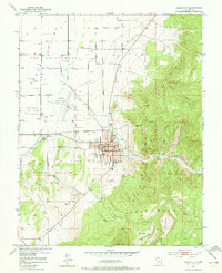
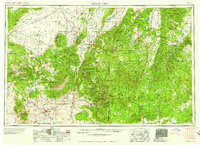
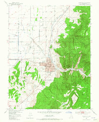
Cedar City,
Charles M. Russell National Wildlife Refuge,
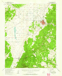
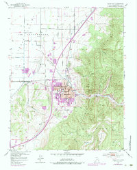
USGS Historical Quadrangle in GeoPDF.
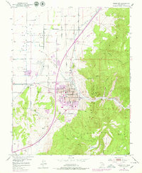
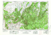
USGS Historical Quadrangle in GeoPDF.
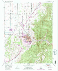
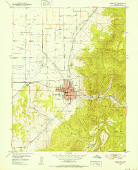
USGS Historical Quadrangle in GeoPDF.
This data set contains imagery from the National Agriculture Imagery Program (NAIP). The NAIP program is administered by USDA FSA and has been established to support two main FSA strategic goals centered on agricultural production. These are, increase stewardship of America's natural resources while enhancing the environment, and to ensure commodities are procured and distributed effectively and efficiently to increase food security. The NAIP program supports these goals by acquiring and providing ortho imagery that has been collected during the agricultural growing season in the U.S. The NAIP ortho imagery is tailored to meet FSA requirements and is a fundamental tool used to support FSA farm and conservation programs....
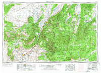
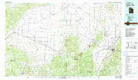
USGS Historical Quadrangle in GeoPDF.
USGS Historical Quadrangle in GeoPDF.
This data set contains imagery from the National Agriculture Imagery Program (NAIP). The NAIP program is administered by USDA FSA and has been established to support two main FSA strategic goals centered on agricultural production. These are, increase stewardship of America's natural resources while enhancing the environment, and to ensure commodities are procured and distributed effectively and efficiently to increase food security. The NAIP program supports these goals by acquiring and providing ortho imagery that has been collected during the agricultural growing season in the U.S. The NAIP ortho imagery is tailored to meet FSA requirements and is a fundamental tool used to support FSA farm and conservation programs....
USGS Historical Quadrangle in GeoPDF.

USGS Historical Quadrangle in GeoPDF.
USGS Historical Quadrangle in GeoPDF.
USGS Historical Quadrangle in GeoPDF.

USGS Historical Quadrangle in GeoPDF.
USGS Historical Quadrangle in GeoPDF.
USGS Historical Quadrangle in GeoPDF.
This data set contains imagery from the National Agriculture Imagery Program (NAIP). The NAIP program is administered by USDA FSA and has been established to support two main FSA strategic goals centered on agricultural production. These are, increase stewardship of America's natural resources while enhancing the environment, and to ensure commodities are procured and distributed effectively and efficiently to increase food security. The NAIP program supports these goals by acquiring and providing ortho imagery that has been collected during the agricultural growing season in the U.S. The NAIP ortho imagery is tailored to meet FSA requirements and is a fundamental tool used to support FSA farm and conservation programs....
These data were collected as part of a field trial to test the efficacy of a sylvatic plague vaccine. Treatment and control sites were selected randomly from the available sites at each location. Site pairs were a minimum of 20 acres, (with a few exceptions). Prairie dog trapping took place a minimum of two weeks post-baiting and trapping procedures were approved by the NWHC Animal Care and Use Committee as well as individual states as required.
Categories: Data;
Types: Citation;
Tags: Arizona,
Awapa Plateau,
Buffalo Gap National Grasslands,
Cedar City,
Charles M. Russell National Wildlife Refuge,
USGS Historical Quadrangle in GeoPDF.
|

|
