Filters: Tags: Church Creek (X)
10 results (76ms)|
Filters
Contacts
(Less)
|
Physical and chemical changes affect the biota within urban streams at varying scales ranging from individual organisms to populations and communities creating complex interactions that present challenges for characterizing and monitoring the impact on species utilizing these freshwater habitats. Salmonids, specifically cutthroat trout (Oncorhynchus clarkii) and coho salmon (Oncorhynchus kisutch), extensively utilize small stream habitats influenced by a changing urban landscape. This study used a comprehensive fish health assessment concurrent with the U.S. Geological Survey’s Pacific Northwest Stream Quality Assessment in 2015 to quantifiy impacts from disease in juvenile coho and cutthroat salmon, impacts to...
Categories: Data;
Types: Citation,
Map Service,
OGC WFS Layer,
OGC WMS Layer,
OGC WMS Service;
Tags: Aquatic Biology,
Bioenergtics,
Church Creek,
Coulter Creek,
East Fork Dairy Cree,
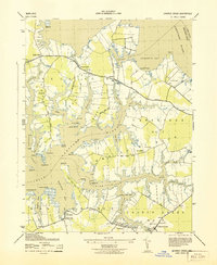
USGS Historical Quadrangle in GeoPDF.
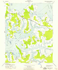
USGS Historical Quadrangle in GeoPDF.
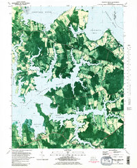
USGS Historical Quadrangle in GeoPDF.
This data set contains imagery from the National Agriculture Imagery Program (NAIP). The NAIP program is administered by USDA FSA and has been established to support two main FSA strategic goals centered on agricultural production. These are, increase stewardship of America's natural resources while enhancing the environment, and to ensure commodities are procured and distributed effectively and efficiently to increase food security. The NAIP program supports these goals by acquiring and providing ortho imagery that has been collected during the agricultural growing season in the U.S. The NAIP ortho imagery is tailored to meet FSA requirements and is a fundamental tool used to support FSA farm and conservation programs....
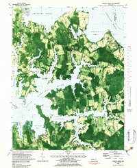
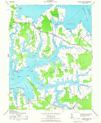
This data set contains imagery from the National Agriculture Imagery Program (NAIP). The NAIP program is administered by USDA FSA and has been established to support two main FSA strategic goals centered on agricultural production. These are, increase stewardship of America's natural resources while enhancing the environment, and to ensure commodities are procured and distributed effectively and efficiently to increase food security. The NAIP program supports these goals by acquiring and providing ortho imagery that has been collected during the agricultural growing season in the U.S. The NAIP ortho imagery is tailored to meet FSA requirements and is a fundamental tool used to support FSA farm and conservation programs....
|

|
