Filters: Tags: Clallam County (X)
211 results (38ms)|
Filters
Date Range
Extensions Types
Contacts
Categories Tag Types Tag Schemes |
Two dams on the Elwha River, Washington State, USA trapped over 20 million m3 of sediment, reducing downstream sediment fluxes and contributing to erosion of the river's coastal delta. The removal of the Elwha and Glines Canyon dams between 2011 and 2014 induced massive increases in river sediment supply and provided an unprecedented opportunity to examine the response of a delta system to changes in sediment supply. The U.S. Geological Survey (USGS) developed an integrated research program aimed at understanding the ecosystem responses following dam removal. The research program included repeated surveys of beach topography, nearshore bathymetry, and surface sediment grain size to quantify changes in delta morphology...
This portion of the USGS data release presents sediment grain-size data from samples collected on the Elwha River delta, Washington, in July 2016 (USGS Field Activity Number 2016-653-FA). Surface sediment was collected on July 20, 2016 at a total of 67 locations using a small ponar, or 'grab', sampler from the R/V Frontier in water depths between about 1 and 17 m around the delta. An additional 38 samples were collected by hand at low tide. A handheld global satellite navigation system (GNSS) receiver was used to determine the locations of sediment samples. Grab samples that yielded less than 50 g of sediment were omitted from analysis and are classified as "no sample". The grain-size distributions of samples that...
Categories: Data;
Types: Citation,
Map Service,
OGC WFS Layer,
OGC WMS Layer,
OGC WMS Service;
Tags: Clallam County,
Elwha River,
GPS (Global Positioning System),
Global Positioning System (GPS) observations,
Olympic Peninsula,
This portion of the USGS data release presents bathymetry data collected during surveys performed on the Elwha River delta, Washington in July 2016 (USGS Field Activity Number 2016-658-FA). Bathymetry data were collected using two personal watercraft (PWCs) and a kayak, all equipped with single-beam sonar systems and global navigation satellite system (GNSS) receivers. The PWC sonar systems consisted of an Odom Echotrac CV-100 single-beam echosounder and 200 kHz transducer with a 9° beam angle. Raw acoustic backscatter returns were digitized by the echosounder with a vertical resolution of 1.25 cm. Depths from the echosounders were computed using sound velocity profiles measured using a YSI CastAway CTD during the...
Two dams on the Elwha River, Washington State, USA trapped over 20 million m3 of sediment, reducing downstream sediment fluxes and contributing to erosion of the river's coastal delta. The removal of the Elwha and Glines Canyon dams between 2011 and 2014 induced massive increases in river sediment supply and provided an unprecedented opportunity to examine the response of a delta system to changes in sediment supply. The U.S. Geological Survey (USGS) developed an integrated research program aimed at understanding the ecosystem responses following dam removal. The research program included repeated surveys of beach topography, nearshore bathymetry, and surface sediment grain size to quantify changes in delta morphology...
Particle-size data collected of the upper 25 cm of substrate was collected at 12 sites in October 2018 and May 2019 at Olsen's Beach in Lake Ozette, Clallam County, Washington. At emergent stations, the top 25 cm of substrate was collected using a shovel and was transferred into a bucket. Bulk sediment samples were collected at submergent stations using a McNeil sampler inserted into the lakebed (McNeil and Ahnell, 1964) from which sediment was extracted by hand to a depth of 25 cm below the lakebed and residual water containing suspended sediment was sampled. Particle size distribution of sediment larger than 8 mm was sieved and weighed in the field and sediment less than 8 mm was sent to the USGS Cascades Volcano...
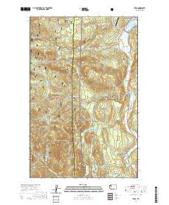
Layered geospatial PDF 7.5 Minute Quadrangle Map. Layers of geospatial data include orthoimagery, roads, grids, geographic names, elevation contours, hydrography, and other selected map features. This map is derived from GIS (geospatial information system) data. It represents a repackaging of GIS data in traditional map form, not creation of new information. The geospatial data in this map are from selected National Map data holdings and other government sources.
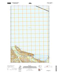
Layered geospatial PDF 7.5 Minute Quadrangle Map. Layers of geospatial data include orthoimagery, roads, grids, geographic names, elevation contours, hydrography, and other selected map features. This map is derived from GIS (geospatial information system) data. It represents a repackaging of GIS data in traditional map form, not creation of new information. The geospatial data in this map are from selected National Map data holdings and other government sources.
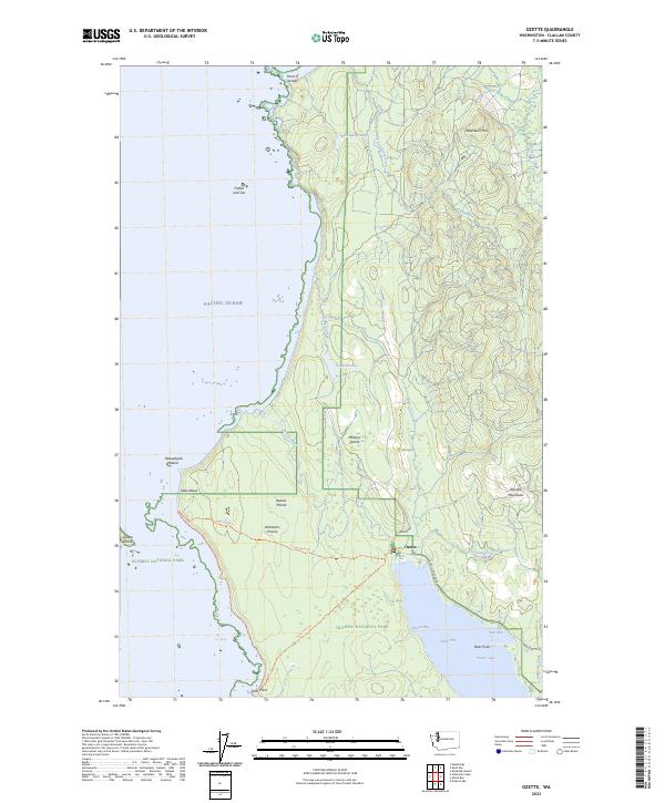
Layered geospatial PDF 7.5 Minute Quadrangle Map. Layers of geospatial data include orthoimagery, roads, grids, geographic names, elevation contours, hydrography, and other selected map features. This map is derived from GIS (geospatial information system) data. It represents a repackaging of GIS data in traditional map form, not creation of new information. The geospatial data in this map are from selected National Map data holdings and other government sources.
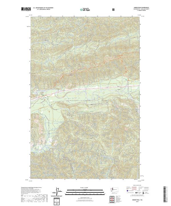
Layered geospatial PDF 7.5 Minute Quadrangle Map. Layers of geospatial data include orthoimagery, roads, grids, geographic names, elevation contours, hydrography, and other selected map features. This map is derived from GIS (geospatial information system) data. It represents a repackaging of GIS data in traditional map form, not creation of new information. The geospatial data in this map are from selected National Map data holdings and other government sources.
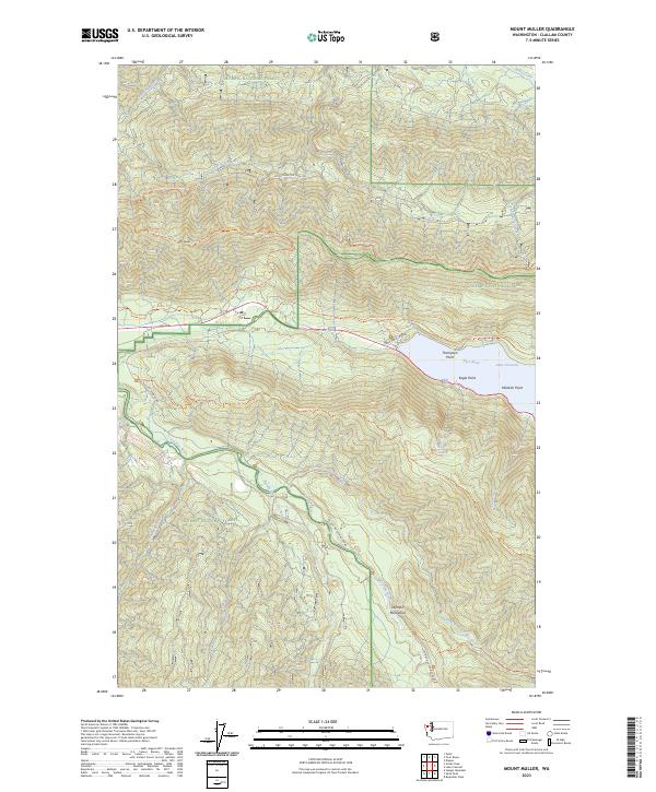
Layered geospatial PDF 7.5 Minute Quadrangle Map. Layers of geospatial data include orthoimagery, roads, grids, geographic names, elevation contours, hydrography, and other selected map features. This map is derived from GIS (geospatial information system) data. It represents a repackaging of GIS data in traditional map form, not creation of new information. The geospatial data in this map are from selected National Map data holdings and other government sources.
Layered geospatial PDF 7.5 Minute Quadrangle Map. Layers of geospatial data include orthoimagery, roads, grids, geographic names, elevation contours, hydrography, and other selected map features. This map is derived from GIS (geospatial information system) data. It represents a repackaging of GIS data in traditional map form, not creation of new information. The geospatial data in this map are from selected National Map data holdings and other government sources.
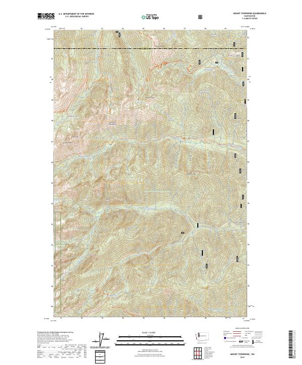
Layered geospatial PDF 7.5 Minute Quadrangle Map. Layers of geospatial data include orthoimagery, roads, grids, geographic names, elevation contours, hydrography, and other selected map features. This map is derived from GIS (geospatial information system) data. It represents a repackaging of GIS data in traditional map form, not creation of new information. The geospatial data in this map are from selected National Map data holdings and other government sources.
This portion of the USGS data release presents sediment grain-size data from samples collected on the Elwha River delta, Washington, in September 2013 (USGS Field Activity Number W-07-13-PS). Surface sediment was sampled using a small ponar, or 'grab', sampler on September 19, 2013 from the R/V Frontier at a total of 62 locations in water depths between about 1 and 12 m around the delta. An additional 21 sediment samples were collected between September 16 and September 19, 2013 at low tide from intertidal locations on the delta. A handheld GNSS receiver was used to determine the locations of sediment samples. The grain-size distributions of samples were determined in the USGS Pacific Coastal and Marine Science...
Categories: Data;
Types: Citation,
Map Service,
OGC WFS Layer,
OGC WMS Layer,
OGC WMS Service;
Tags: Clallam County,
Elwha River,
GPS (Global Positioning System),
Global Positioning System (GPS) observations,
Olympic Peninsula,
The High Resolution National Hydrography Dataset Plus (NHDPlus HR) is an integrated set of geospatial data layers, including the best available National Hydrography Dataset (NHD), the 10-meter 3D Elevation Program Digital Elevation Model (3DEP DEM), and the National Watershed Boundary Dataset (WBD). The NHDPlus HR combines the NHD, 3DEP DEMs, and WBD to create a stream network with linear referencing, feature naming, "value added attributes" (VAAs), elevation-derived catchments, and other features for hydrologic data analysis. The stream network with linear referencing is a system of data relationships applied to hydrographic systems so that one stream reach "flows" into another and "events" can be tied to and traced...
This portion of the data release presents water column dissolved nutrient concentration data and water quality parameters from samples collected in the Elwha River estuary, Washington, in 2006, 2007, 2013, and 2014 (USGS Field Activities L-15-13-PS, L-24-13-PS, T-R5-13-PS, T-R6-13-PS, T-RA-14-PS, 2014-614-FA, 2014-628-FA, 2014-633-FA, 2014-666-FA). Water column samples were collected by hand in acid-washed opaque bottles from multiple locations. Water quality was measured using a handheld Hydolab Data Sonde 4a. The locations of water sample collections were determined with a hand-held global positioning system (GPS). The water samples were filtered through GF/F filters immediately after collection. The filtrate...
Categories: Data;
Types: Citation;
Tags: Clallam County,
Elwha River,
Olympic Peninsula,
Strait of Juan de Fuca,
marine chemistry,
Estuary vegetation cover delineated from 30 August 2012 0.15-meter-resolution NPS Elwha PlaneCam aerial imagery at a scale of 1:1500.
Categories: Data;
Types: Citation,
Downloadable,
Map Service,
OGC WFS Layer,
OGC WMS Layer,
Shapefile;
Tags: Clallam County,
Elwha River,
Olympic Peninsula,
Port Angeles,
United States of America,
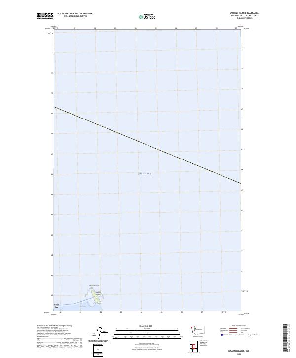
Layered geospatial PDF 7.5 Minute Quadrangle Map. Layers of geospatial data include orthoimagery, roads, grids, geographic names, elevation contours, hydrography, and other selected map features. This map is derived from GIS (geospatial information system) data. It represents a repackaging of GIS data in traditional map form, not creation of new information. The geospatial data in this map are from selected National Map data holdings and other government sources.
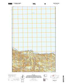
Layered geospatial PDF 7.5 Minute Quadrangle Map. Layers of geospatial data include orthoimagery, roads, grids, geographic names, elevation contours, hydrography, and other selected map features. This map is derived from GIS (geospatial information system) data. It represents a repackaging of GIS data in traditional map form, not creation of new information. The geospatial data in this map are from selected National Map data holdings and other government sources.
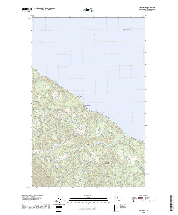
Layered geospatial PDF 7.5 Minute Quadrangle Map. Layers of geospatial data include orthoimagery, roads, grids, geographic names, elevation contours, hydrography, and other selected map features. This map is derived from GIS (geospatial information system) data. It represents a repackaging of GIS data in traditional map form, not creation of new information. The geospatial data in this map are from selected National Map data holdings and other government sources.
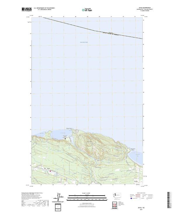
Layered geospatial PDF 7.5 Minute Quadrangle Map. Layers of geospatial data include orthoimagery, roads, grids, geographic names, elevation contours, hydrography, and other selected map features. This map is derived from GIS (geospatial information system) data. It represents a repackaging of GIS data in traditional map form, not creation of new information. The geospatial data in this map are from selected National Map data holdings and other government sources.
|

|
