Filters: Tags: Classification (X)
46 results (12ms)|
Filters
Date Range
Extensions Types
Contacts
Categories
Tag Types
|
Abstract (from http://onlinelibrary.wiley.com/doi/10.1111/gcb.12757/abstract): The landscape of the Barrow Peninsula in northern Alaska is thought to have formed over centuries to millennia, and is now dominated by ice-wedge polygonal tundra that spans drained thaw-lake basins and interstitial tundra. In nearby tundra regions, studies have identified a rapid increase in thermokarst formation (i.e., pits) over recent decades in response to climate warming, facilitating changes in polygonal tundra geomorphology. We assessed the future impact of 100 years of tundra geomorphic change on peak growing season carbon exchange in response to: (i) landscape succession associated with the thaw-lake cycle; and (ii) low, moderate,...
Categories: Publication;
Types: Citation;
Tags: Alaska CASC,
Data Visualization & Tools,
Science Tools for Managers,
arctic,
carbon balance,
This dataset is a component of a complete package of products from the Connect the Connecticut project. Connect the Connecticut is a collaborative effort to identify shared priorities for conserving the Connecticut River Watershed for future generations, considering the value of fish and wildlife species and the natural ecosystems they inhabit. Click here to download the full data package, including all documentation.This dataset represents a version of the ecological systems map (ESM+), originally derived by TNC and modified for the Designing Sustainable Landscapes (DSL) project. Major modifications include improvements to the classification and mapping of roads, development, streams, and coastal wetlands. In this...
Categories: Data,
Publication;
Types: ArcGIS REST Map Service,
ArcGIS Service Definition,
Citation,
Downloadable,
Map Service;
Tags: CT,
CT,
Connecticut,
Connecticut,
Data,
This dataset is a component of a complete package of products from the Connect the Connecticut project. Connect the Connecticut is a collaborative effort to identify shared priorities for conserving the Connecticut River Watershed for future generations, considering the value of fish and wildlife species and the natural ecosystems they inhabit. Click here to download the full data package, including all documentation.This dataset represents the climate response index for Blackburnian Warbler. Climate response is one of several different measures of landscape capability that reflect different decisions (or assumptions) regarding how to incorporate current versus future land use and climate changes. The climate response...
Categories: Data;
Types: ArcGIS REST Map Service,
ArcGIS Service Definition,
Citation,
Downloadable,
Map Service;
Tags: Data,
LCC Network Science Catalog,
North Atlantic Landscape Conservation Cooperative Data.gov,
change,
change,
Landscape level stratification of ecoregions in the Blue Mountain study area. Study area was defined by watershed boundaries because the pathways and distribution of anadromous fish and determined by watershed linkages and landscape characteristics.
This dataset represents the cumulative result of multi-season classification of land cover in the GCPO LCC geography to NatureServe Ecological Systems based on 2011 seasonal Landsat Satellite Imagery. The approach used a Random Forest algorithm and several dozen input data layers to classify land cover at a 30 m pixel resolution. The description below is taken directly from the report titled “Update of the Eastern GCPO Land Cover Database to 2011 Using a LS2SRC Approach”, by Dr. Qingmin Meng, Department of Geosciences, Mississippi State University.Random Forest classifier is based on the general decision tree approach, which has been a popular approach to multilevel and multistage decision making. Its basic idea...
Categories: Data;
Types: ArcGIS REST Map Service,
ArcGIS Service Definition,
Downloadable,
Map Service,
OGC WFS Layer,
OGC WMS Layer,
OGC WMS Service;
Tags: Data,
Data Acquisition and Development,
Data Management and Integration,
GAP,
GCPO,
This dataset represents the soil order from SSURGO and STATSGO soil descriptions for soil map units in the state of western Washington that lie within the North Pacific Landscape Conservation Cooperative.

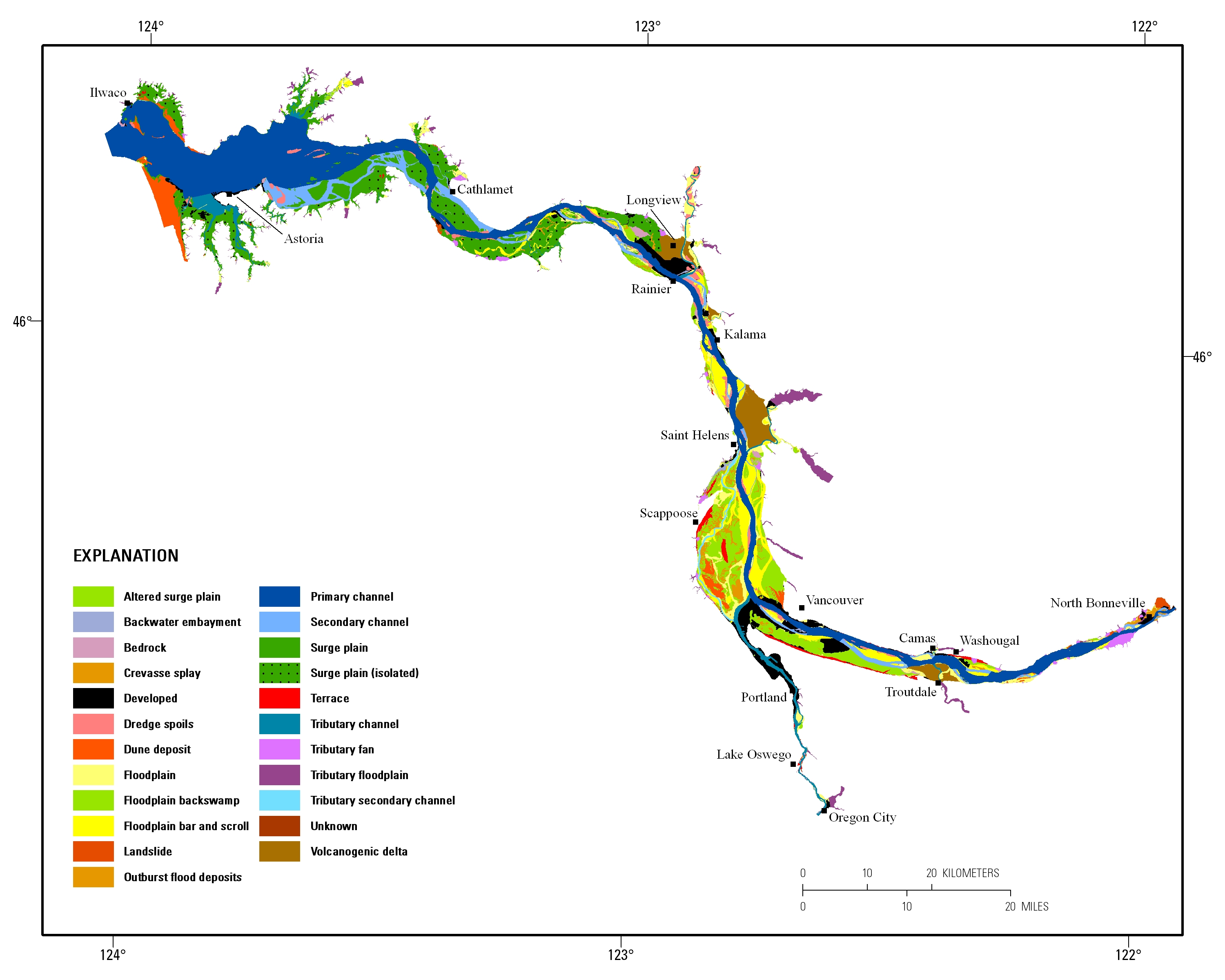
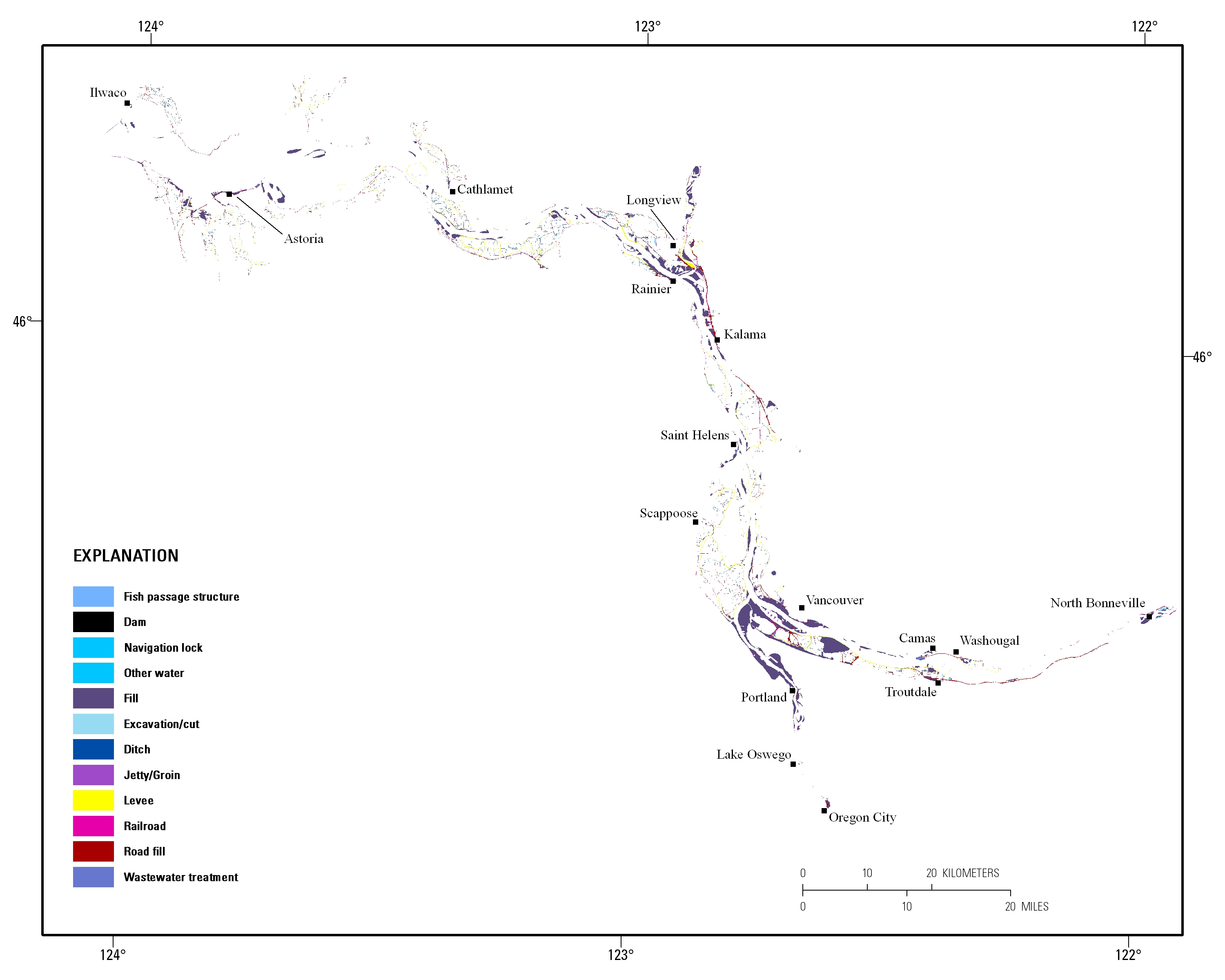
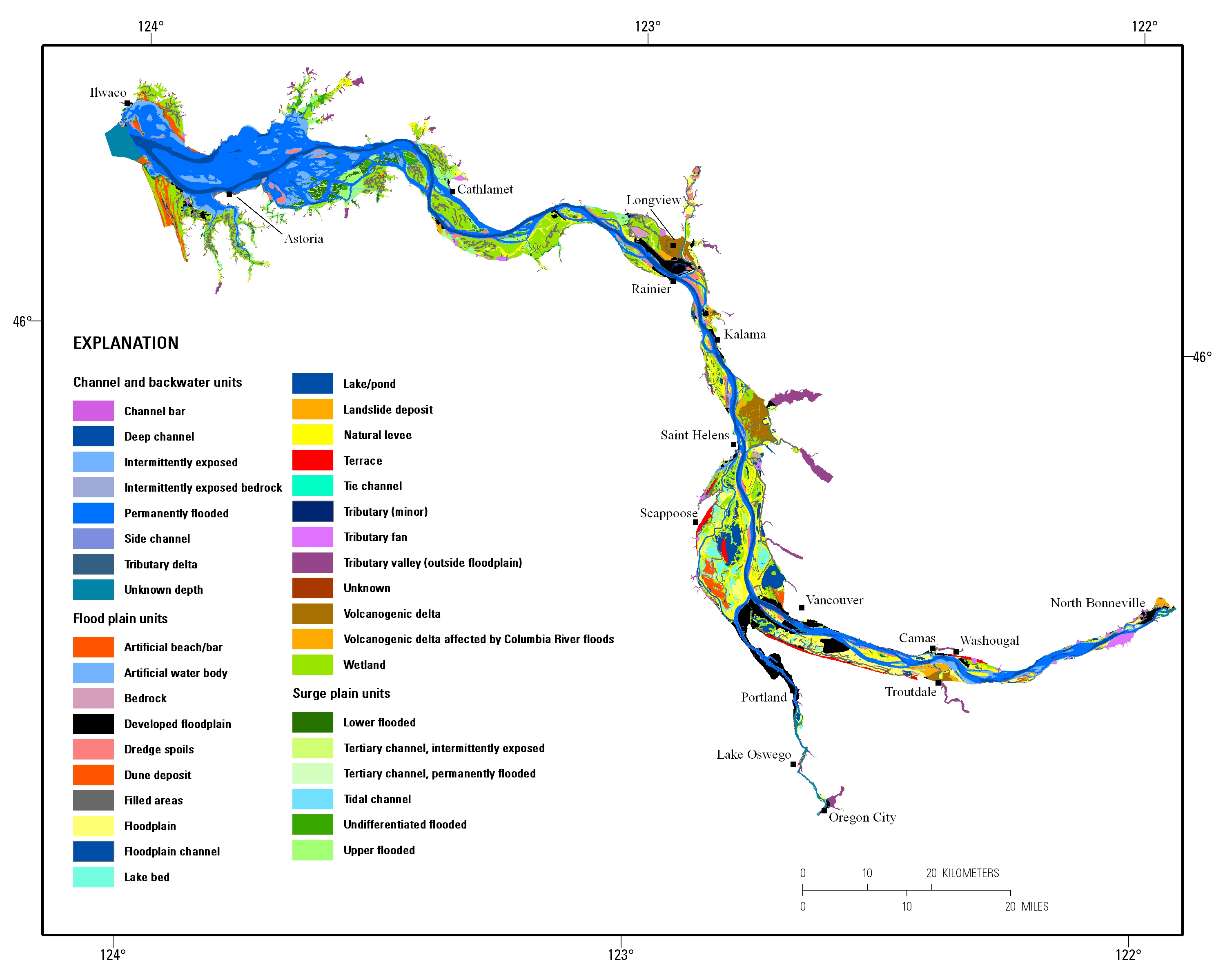
Estuarine ecosystems are controlled by a variety of processes that operate at multiple spatial and temporal scales. Understanding the hierarchical nature of these processes will aid in prioritization of restoration efforts. This hierarchical Columbia River Estuary Ecosystem Classification (henceforth "Classification") of the Columbia River estuary is a spatial database of the tidally-influenced reaches of the lower Columbia River, the tidally affected parts of its tributaries, and the landforms that make up their floodplains for the 230 kilometers between the Pacific Ocean and Bonneville Dam. This work is a collaborative effort between University of Washington School of Aquatic and Fishery Sciences (henceforth "UW"),...
This dataset is a component of a complete package of products from the Connect the Connecticut project. Connect the Connecticut is a collaborative effort to identify shared priorities for conserving the Connecticut River Watershed for future generations, considering the value of fish and wildlife species and the natural ecosystems they inhabit. Click here to download the full data package, including all documentation. This dataset represents the climate response index for Marsh Wren. Climate response is one of several different measures of landscape capability that reflect different decisions (or assumptions) regarding how to incorporate current versus future land use and climate changes. The climate response index...
Categories: Data;
Types: ArcGIS REST Map Service,
ArcGIS Service Definition,
Citation,
Downloadable,
Map Service;
Tags: Data,
LCC Network Science Catalog,
North Atlantic Landscape Conservation Cooperative Data.gov,
change,
change,
This dataset is a component of a complete package of products from the Connect the Connecticut project. Connect the Connecticut is a collaborative effort to identify shared priorities for conserving the Connecticut River Watershed for future generations, considering the value of fish and wildlife species and the natural ecosystems they inhabit. Click here to download the full data package, including all documentation. This dataset represents the climate response index for Louisiana Waterthrush. Climate response is one of several different measures of landscape capability that reflect different decisions (or assumptions) regarding how to incorporate current versus future land use and climate changes. The climate...
Categories: Data;
Types: ArcGIS REST Map Service,
ArcGIS Service Definition,
Citation,
Downloadable,
Map Service;
Tags: Data,
LCC Network Science Catalog,
North Atlantic Landscape Conservation Cooperative Data.gov,
change,
change,
Advances in new technologies such as remote cameras, noninvasive genetics and bioacoustics provide massive quantities of electronic data. Much work has been done on automated (“machine learning”) methods of classification which produce “sample class designations” (e.g., identification of species or individuals) that are regarded as observed data in ecological models. However, these “data” are actually derived quantities (or synthetic data) and subject to various important sources of bias and error. If the derived quantities are used to make ecological determinations without consideration of these biases, those inferences which inform monitoring, conservation, and management will be flawed. We propose to develop...
Categories: Project;
Tags: Active,
All Working Groups,
Classification,
Core Science Systems,
Ecological Modelling,

These data were released prior to the October 1, 2016 effective date for the USGS’s policy dictating the review, approval, and release of scientific data as referenced in USGS Survey Manual Chapter 502.8 Fundamental Science Practices: Review and Approval of Scientific Data for Release. Estuarine ecosystems are controlled by a variety of processes that operate at multiple spatial and temporal scales. Understanding the hierarchical nature of these processes will aid in prioritization of restoration efforts. This hierarchical Columbia River Estuary Ecosystem Classification (henceforth "Classification") of the Columbia River estuary is a spatial database of the tidally-influenced reaches of the lower Columbia River,...
Categories: pre-SM502.8;
Tags: Clackamas County,
Clark County,
Clatsop County,
Columbia County,
Columbia River,
This dataset is a component of a complete package of products from the Connect the Connecticut project. Connect the Connecticut is a collaborative effort to identify shared priorities for conserving the Connecticut River Watershed for future generations, considering the value of fish and wildlife species and the natural ecosystems they inhabit. Click here to download the full data package, including all documentation.This dataset represents the climate response index for Wood Duck. Climate response is one of several different measures of landscape capability that reflect different decisions (or assumptions) regarding how to incorporate current versus future land use and climate changes. The climate response index...
Categories: Data;
Types: ArcGIS REST Map Service,
ArcGIS Service Definition,
Citation,
Downloadable,
Map Service;
Tags: Data,
LCC Network Science Catalog,
North Atlantic Landscape Conservation Cooperative Data.gov,
change,
change,
This dataset represents the soil order from SSURGO and STATSGO soil descriptions for soil map units in the state of western Oregon that lie within the North Pacific Landscape Conservation Cooperative.
River valley boundary extents were generated for select large river floodplains of the Upper Midwest, United States. These polygons were delineated using a method that incorporated interpolating a water surface elevation that completely over-topped water-control structures within the valley such as levees, flood walls, and roadways. The intersection of this derived water surface and land elevation at the outermost edge of the floodplain was used to delineate the approximate extent of the river valley boundary. We used best professional judgment to approximate this water surface elevation. River transects were generated at 1-mile increments across select large river floodplains of the Upper Midwest, United States....

Estuarine ecosystems are controlled by a variety of processes that operate at multiple spatial and temporal scales. Understanding the hierarchical nature of these processes will aid in prioritization of restoration efforts. This hierarchical Columbia River Estuary Ecosystem Classification (henceforth "Classification") of the Columbia River estuary is a spatial database of the tidally-influenced reaches of the lower Columbia River, the tidally affected parts of its tributaries, and the landforms that make up their floodplains for the 230 kilometers between the Pacific Ocean and Bonneville Dam. This work is a collaborative effort between University of Washington School of Aquatic and Fishery Sciences (henceforth "UW"),...

Estuarine ecosystems are controlled by a variety of processes that operate at multiple spatial and temporal scales. Understanding the hierarchical nature of these processes will aid in prioritization of restoration efforts. This hierarchical Columbia River Estuary Ecosystem Classification (henceforth "Classification") of the Columbia River estuary is a spatial database of the tidally-influenced reaches of the lower Columbia River, the tidally affected parts of its tributaries, and the landforms that make up their floodplains for the 230 kilometers between the Pacific Ocean and Bonneville Dam. This work is a collaborative effort between University of Washington School of Aquatic and Fishery Sciences (henceforth "UW"),...
Intermontane basins in the Trans-Pecos region of westernmost Texas and northern Chihuahua, Mexico, are target areas for disposal of interstate municipal sludge and have been identified as possible disposal sites for low-level radioactive waste. Understanding ground water movement within and between these basins is needed to assess potential contaminant fate and movement. Four associated basin aquifers are evaluated and classified; the Red Light Draw Aquifer, the Northwest Eagle Flat Aquifer, the Southeast Eagle Flat Aquifer, and the El Cuervo Aquifer. Encompassed on all but one side by mountains and local divides, the Red Light Draw Aquifer has the Rio Grande as an outlet for both surface drainage and ground water...
Categories: Publication;
Types: Citation,
Journal Citation;
Tags: Classification,
Geological Phenomena,
Geology,
Ground Water,
Mexico,
We outfitted nine condors in a flight pen with patagial tags, each with a unique ID, and a proprietary solar powered Global Positioning System-Global System for Mobile Communications (GPS-GSM) telemetry device weighing 50 g (Cellular Tracking Technologies, LLC, Rio Grande, NJ). The units collected tri-axial acceleration data at a rate of 20 Hz. Data were transmitted once daily over cellular networks and then downloaded to a server.
Categories: Data;
Tags: Accelerometer,
Classification,
Ecology,
Machine learning,
USGS Science Data Catalog (SDC),
Releasing the spreadsheet of training data performance assessments.
Categories: Data,
Data Release - In Progress;
Tags: Conterminous U.S.,
Land cover change,
Landsat,
biota,
classification,
This dataset is a component of a complete package of products from the Connect the Connecticut project. Connect the Connecticut is a collaborative effort to identify shared priorities for conserving the Connecticut River Watershed for future generations, considering the value of fish and wildlife species and the natural ecosystems they inhabit. Click here to download the full data package, including all documentation.This dataset represents the climate response index for Ruffed Grouse. Climate response is one of several different measures of landscape capability that reflect different decisions (or assumptions) regarding how to incorporate current versus future land use and climate changes. The climate response...
Categories: Data;
Types: ArcGIS REST Map Service,
ArcGIS Service Definition,
Citation,
Downloadable,
Map Service;
Tags: Data,
LCC Network Science Catalog,
North Atlantic Landscape Conservation Cooperative Data.gov,
change,
change,
|

|