Filters: Tags: Colorado (X)
16,374 results (139ms)|
Filters
Date Range
Extensions Types Contacts
Categories Tag Types
|
Five principal components are used to represent the climate variation in an original set of 12 composite climate variables reflecting complex precipitation and temperature gradients. The dataset provides coverage for future climate (defined as the 2040-2070 normal period) under the RCP8.5 emission scenarios. Climate variables were chosen based on their known influence on local adaptation in plants, and include: mean annual temperature, summer maximum temperature, winter minimum temperature, annual temperature range, temperature seasonality (coefficient of variation in monthly average temperatures), mean annual precipitation, winter precipitation, summer precipitation, proportion of summer precipitation, precipitation...
Categories: Data;
Types: Downloadable,
GeoTIFF,
Map Service,
Raster;
Tags: Arizona,
California,
Colorado,
Colorado Plateau,
Great Basin,
Audiomagnetotelluric sounding data in the Silverton Caldera complex, Colorado, 2018; Station AMTGK05
This dataset includes audiomagnetotelluric (AMT) sounding data collected in July 2018 in the Silverton Caldera complex, Colorado, in the Southern Rocky Mountain Volcanic Field, by the U.S. Geological Survey (USGS). Along with geologic mapping, airborne magnetics, airborne electromagnetics, and magnetotellurics, the USGS collected AMT data at 24 sites along four profiles ranging from 3 to 6 kilometers in length across the north-western structural margin of the Silverton caldera in Mineral Basin (MB01-MB05), across the south-eastern margin of the caldera along Cunningham Creek (CC01-CC05), within the caldera in Eureka Graben (EG01-EG05), and within the caldera along upper Cement Creek near the Gold King mine (GK01-GK09).
Audiomagnetotelluric sounding data in the Silverton Caldera complex, Colorado, 2018; Station AMTMB02
This dataset includes audiomagnetotelluric (AMT) sounding data collected in July 2018 in the Silverton Caldera complex, Colorado, in the Southern Rocky Mountain Volcanic Field, by the U.S. Geological Survey (USGS). Along with geologic mapping, airborne magnetics, airborne electromagnetics, and magnetotellurics, the USGS collected AMT data at 24 sites along four profiles ranging from 3 to 6 kilometers in length across the north-western structural margin of the Silverton caldera in Mineral Basin (MB01-MB05), across the south-eastern margin of the caldera along Cunningham Creek (CC01-CC05), within the caldera in Eureka Graben (EG01-EG05), and within the caldera along upper Cement Creek near the Gold King mine (GK01-GK09).
These data represent simulated soil temperature and moisture conditions for current climate, and for future climate represented by all available climate models at two time periods during the 21st century. These data were used to: 1) quantify the direction and magnitude of expected changes in several measures of soil temperature and soil moisture, including the key variables used to distinguish the regimes used in the R and R categories; 2) assess how these changes will impact the geographic distribution of soil temperature and moisture regimes; and 3) explore the implications for using R and R categories for estimating future ecosystem resilience and resistance.
The U.S. Geological Survey (USGS), in cooperation with the U.S. Air Force Academy, carried out bathymetry surveys to better characterize the 2019 water-supply capacity of Deadmans Lake; Golf Course Reservoir 9; Ice Lake; Kettle Lakes 1, 2, and 3; and Non-Potable reservoirs 1, 2, 3, and 4 at the U.S. Air Force Academy, Colorado. Survey points from bathymetry and terrestrial datasets were collected using real-time kinematic (RTK) Global Navigation Satellite Systems (GNSS) at each of the aforementioned lakes or reservoirs and merged in geographic information system software, ArcMap, to produce continuous topographic datasets with common horizontal and vertical datums (North American Datum [NAD] 83 and North American...
Digital terrain model (DTM) and associated metadata for basin B1.
Categories: Data;
Types: Downloadable,
GeoTIFF,
Map Service,
Raster;
Tags: Colorado,
Rio Blanco,
UAS,
Unmanned Aerial Systems,
biota,
Final surface model (SRF) and associated metadata for basin B1.
Categories: Data;
Types: Downloadable,
GeoTIFF,
Map Service,
Raster;
Tags: Colorado,
Rio Blanco,
UAS,
Unmanned Aerial Systems,
biota,
Chalk Cliffs, located 8 miles southwest of Buena Vista, Colorado, is one of the most active debris-flow areas in the state (U.S. Geological Survey). This "Child item" page includes videos of debris flows captured by one of the high-definition cameras at the monitoring site in Chalk Cliffs, CO. This camera (Wide-angle camera) is located near Station 1 on the opposite side of the basin with a broad view of the channel. The attached figure "station_and_camera_locations.png" provides an overview figure with the location of the three cameras and three stations along the channel. Video recording for all cameras is triggered using a rainfall threshold, derived from rainfall measurements from a rain gauge (Michel et al.,...
Audiomagnetotelluric sounding data in the Silverton Caldera complex, Colorado, 2019; Station AMTSF04
This dataset includes audiomagnetotelluric (AMT) sounding data collected in July 2019 in the Silverton Caldera complex, Colorado, in the Southern Rocky Mountain Volcanic Field, by the U.S. Geological Survey (USGS). Along with geologic mapping, airborne magnetics, airborne electromagnetics, and magnetotellurics, the USGS collected AMT data at 26 sites along five profiles ranging from 2 to 5 kilometers in length: across Red Mountain of the Silverton caldera, within the caldera in Eureka Graben, across the south-eastern margin of the caldera along Arrastra Gulch, across the southern margin of the caldera along the western margin of Kendall Mountain, and across the south-western margin of the caldera along South Fork...
Audiomagnetotelluric sounding data in the Silverton Caldera complex, Colorado, 2019; Station AMTAG04
This dataset includes audiomagnetotelluric (AMT) sounding data collected in July 2019 in the Silverton Caldera complex, Colorado, in the Southern Rocky Mountain Volcanic Field, by the U.S. Geological Survey (USGS). Along with geologic mapping, airborne magnetics, airborne electromagnetics, and magnetotellurics, the USGS collected AMT data at 26 sites along five profiles ranging from 2 to 5 kilometers in length: across Red Mountain of the Silverton caldera, within the caldera in Eureka Graben, across the south-eastern margin of the caldera along Arrastra Gulch, across the southern margin of the caldera along the western margin of Kendall Mountain, and across the south-western margin of the caldera along South Fork...
This data set includes the relative production scenarios for eight (8) grass species based on linear models from Epstein, et al. (1998). We selected two indicator species for each community: shortgrass prairie: blue grama (Bouteloua gracilis; BOGR) and buffalo grass (Bouteloua dactyloides; BODA); mixedgrass prairie: sideoats grama (Bouteloua curtipendula; BOCU) and little bluestem (Schizachyrium scoparium; SCSC); tallgrass prairie: big bluestem (Andropogon gerardii; ANGE) and Indiangrass (Sorghastrum nutans; SONU); and semiarid grasslands: black grama (Bouteloua eriopoda; BOER) and tobosagrass (Pleuraphis mutica; PLMU). Soil texture (percent by weight) came from the Earth Systems Science Center (2008) which provided...

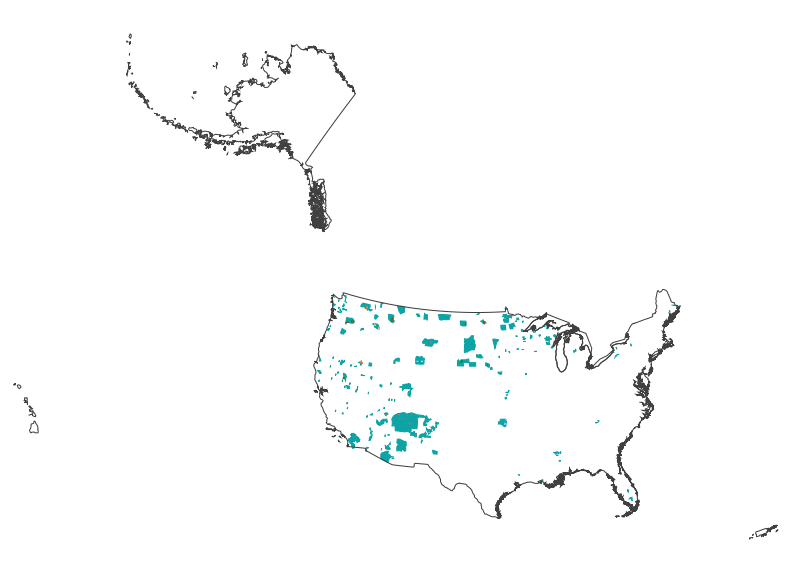
This map layer shows Indian lands of the United States. For the most part, only areas of 320 acres or more are included; some smaller areas deemed to be important or significant are also included. Federally-administered lands within a reservation are included for continuity; these may or may not be considered part of the reservation and are simply described with their feature type and the administrating Federal agency. Some established Indian lands which are larger than 320 acres are not included in this map layer because their boundaries were not available from the owning or administering agency.
Map containing historical census data from 1900 - 2000 throughout the western United States at the county level. Data includes total population, population density, and percent population change by decade for each county. Population data was obtained from the US Census Bureau and joined to 1:2,000,000 scale National Atlas counties shapefile.
Categories: Data;
Types: Downloadable,
Map Service,
OGC WFS Layer,
OGC WMS Layer,
Shapefile;
Tags: Arizona,
California,
Colorado,
Idaho,
Montana,
The Critical Minerals in Archived Mine Samples Database (CMDB) contains chemistry and geologic information for historic ore and ore-related rock samples from mineral deposits in the United States. In addition, the database contains samples from archetypal deposits from 27 other countries in North America, South America, Asia, Africa and Europe. Samples were obtained from archived ore collections under the U.S. Geological Survey's project titled "Quick Assessment of Rare and Critical Metals in Ore Deposits: A National Assessment" (2008 to 2013) in an effort to begin an assessment of the Nations' previously mined ore deposits for critical minerals. Mineralized and altered rock samples were provided by the Colorado...
Categories: Data;
Types: ArcGIS REST Map Service,
ArcGIS Service Definition,
Downloadable,
Map Service,
OGC WFS Layer,
OGC WMS Layer,
Shapefile;
Tags: Alaska,
Argentina,
Arizona,
Arkansas,
Australia,
The U.S. Geological Survey (USGS) has developed and implemented an algorithm that identifies burned areas in dense time series of Landsat image stacks to produce the Landsat Burned Area Essential Climate Variable (BAECV) products. The algorithm makes use of predictors derived from individual Landsat scenes, lagged reference conditions, and change metrics between the scene and reference conditions. Outputs of the BAECV algorithm consist of pixel-level burn probabilities for each Landsat scene, and annual burn probability, burn classification, and burn date composites. These products were generated for the conterminous United States for 1984 through 2015. These data are also available for download at https://rmgsc.cr.usgs.gov/outgoing/baecv/BAECV_CONUS_v1.1_2017/...
This data release includes magnetotelluric (MT) sounding data collected in July 2018 in the Silverton Caldera complex, Colorado, in the Southern Rocky Mountain Volcanic Field, by the U.S. Geological Survey (USGS). Along with geologic mapping, airborne magnetics, airborne electromagnetics, and audiomagnetotellurics, the USGS collected MT data at 22 sites along four profiles ranging from 3 to 6 kilometers in length across the north-western structural margin of the Silverton caldera in Mineral Basin (MB01-MB05), across the south-eastern margin of the caldera along Cunningham Creek (CC01-CC05), within the caldera in Eureka Graben (EG01-EG05), and within the caldera along upper Cement Creek near the Gold King mine (GK01-GK09).
This data release includes magnetotelluric (MT) sounding data collected in July 2018 in the Silverton Caldera complex, Colorado, in the Southern Rocky Mountain Volcanic Field, by the U.S. Geological Survey (USGS). Along with geologic mapping, airborne magnetics, airborne electromagnetics, and audiomagnetotellurics, the USGS collected MT data at 22 sites along four profiles ranging from 3 to 6 kilometers in length across the north-western structural margin of the Silverton caldera in Mineral Basin (MB01-MB05), across the south-eastern margin of the caldera along Cunningham Creek (CC01-CC05), within the caldera in Eureka Graben (EG01-EG05), and within the caldera along upper Cement Creek near the Gold King mine (GK01-GK09).

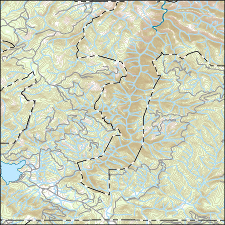
Layers of geospatial data include contours, boundaries, land cover, hydrography, roads, transportation, geographic names, structures, and other selected map features.
This dataset consists of 102 magnetotelluric (MT) stations collected in 2012-2014 in the Rio Grande Rift and southern Rocky Mountains. The U.S. Geological Survey acquired these data to improve regional conductivity models of the western United States. This work is in support of studies of the effect of lithospheric modification on electrical resistivity structure and tectonic evolution of the western United States.
Categories: Data;
Types: Citation,
Map Service,
OGC WFS Layer,
OGC WMS Layer,
OGC WMS Service;
Tags: Carson National Forest,
Colfax County,
Colorado,
Colorado Plateau,
Dona Ana County,
It has been shown that Environmental Protection Agency (EPA) Method 3060A does not adequately extract Cr(VI) from solids containing chromium ore processing residue (COPR). We systematically modified parameters of EPA 3060A towards improving extraction efficiency of Cr(VI) from the National Institute of Standards and Technology (NIST) standard reference material (SRM) 2701, a standard COPR-contaminated soil from New Jersey, USA. A material similar to NIST 2701 prepared in the laboratory from contaminated soil referred to as 2B was also analyzed. Extraction parameters tested were particle size, glass or polytetrafluoroethylene (PTFE) extraction vessels, volume of extraction solution to mass of sample, and extraction...
Categories: Data;
Types: Citation;
Tags: CGGSC,
City of Denver,
Colorado,
Crustal Geophysics and Geochemistry Science Center,
EPA,
|

|