Filters: Tags: Connecticut (X)
1,347 results (26ms)|
Filters
Date Range
Extensions (Less)
Types (Less)
Contacts (Less)
Categories (Less)
Tag Types
|
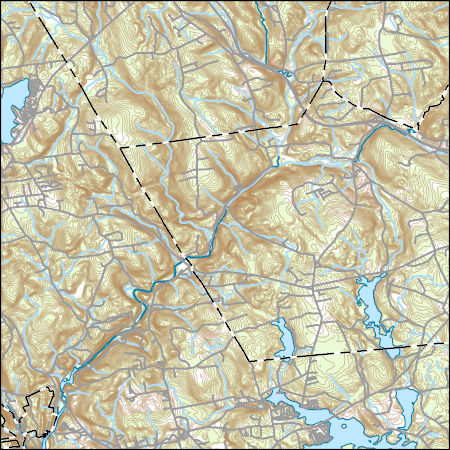
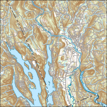
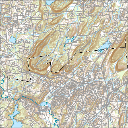
Layers of geospatial data include contours, boundaries, land cover, hydrography, roads, transportation, geographic names, structures, and other selected map features.
Investigations of coastal change and coastal resources often require continuous elevation profiles from the seafloor to coastal terrestrial landscapes. Differences in elevation data collection in the terrestrial and marine environments result in separate elevation products that may not share a vertical datum. This data release contains the assimilation of multiple elevation products into a continuous digital elevation model at a resolution of 3-arcseconds (approximately 90 meters) from the terrestrial landscape to the seafloor for the contiguous U.S., focused on the coastal interface. All datasets were converted to a consistent horizontal datum, the North American Datum of 1983, but the native vertical datum for...
Types: Map Service,
OGC WFS Layer,
OGC WMS Layer,
OGC WMS Service;
Tags: Alabama,
CMGP,
California,
Canadian Hydrographic Service,
Chesapeake Bay,
Field spikes were prepared at 207 stream and river sites as part of the U.S. Geological Survey (USGS) National Water Quality Assessment (NAWQA) project between December, 2012, and September, 2015. At the field site, a depth-and width-integrated environmental sample was collected, and one subsample of the environmental sample was spiked with a known amount of a spike mixture. Both the spiked subsample ("spike sample") and another subsample ("environmental sample") of the original water sample were analyzed for pesticides at the USGS National Water Quality Laboratory (NWQL) by direct injection liquid chromatography with tandem mass spectrometry (LC-MS/MS), and were used to calculate the spike recovery of each analyte....
Layers of geospatial data include contours, boundaries, land cover, hydrography, roads, transportation, geographic names, structures, and other selected map features.
Layers of geospatial data include contours, boundaries, land cover, hydrography, roads, transportation, geographic names, structures, and other selected map features.
Layers of geospatial data include contours, boundaries, land cover, hydrography, roads, transportation, geographic names, structures, and other selected map features.
The glacial aquifer system of the United States encompasses all or parts of 25 states and is the most widely used supply of drinking water in the Nation (Maupin and Barber, 2005; Maupin and Arnold, 2010). A series of seven raster data sets were derived from a database of water-well drillers' records that was compiled in partial fulfillment of the goals of the U.S. Geological Survey’s Groundwater Availability and Use assessment program (U.S. Geological Survey, 2002). They contain hydrogeologic information for areas of the U.S. that are north of the southern limit of Pleistocene glaciation, including the total thickness of glacial deposits, thickness of coarse-grained sediment within the glacial deposits, specific-capacity...
"NewEngland_pkflows.PRT" is a text file that contains results of flood-frequency analysis of annual peak flows from 186 selected streamflow gaging stations (streamgages) operated by the U.S. Geological Survey (USGS) in the New England region (Maine, Connecticut, Massachusetts, Rhode Island, New York, New Hampshire, and Vermont). Only streamgages in the region that were also in the USGS "GAGES II" database (https://water.usgs.gov/GIS/metadata/usgswrd/XML/gagesII_Sept2011.xml) were considered for use in the study. The file was generated by combining PeakFQ output (.PRT) files created using version 7.0 of USGS software PeakFQ (https://water.usgs.gov/software/PeakFQ/; Veilleux and others, 2014) to conduct flood-frequency...

This map layer consists of federally owned or administered lands of the United States, Puerto Rico, and the U.S. Virgin Islands. For the most part, only areas of 320 acres or more are included; some smaller areas deemed to be important or significant are also included. There may be private inholdings within the boundaries of Federal lands in this map layer. Some established Federal lands which are larger than 320 acres are not included in this map layer, because their boundaries were not available from the owning or administering agency.
Layers of geospatial data include contours, boundaries, land cover, hydrography, roads, transportation, geographic names, structures, and other selected map features.
Layers of geospatial data include contours, boundaries, land cover, hydrography, roads, transportation, geographic names, structures, and other selected map features.
Layers of geospatial data include contours, boundaries, land cover, hydrography, roads, transportation, geographic names, structures, and other selected map features.
Layers of geospatial data include contours, boundaries, land cover, hydrography, roads, transportation, geographic names, structures, and other selected map features.
Water quality and optical absorbance data for journal article entitled, "The removal kinetics of dissolved organic matter and the optical clarity of groundwater" by Francis H. Chapelle, Yuan Shen, Eric W. Strom, and Ronald Benner. Hydrogeology Journal. In Press.
Layers of geospatial data include contours, boundaries, land cover, hydrography, roads, transportation, geographic names, structures, and other selected map features.
Using funds from an NRDAR settlement, FWS obligated $557,810 ($2011) to TNC of Massachusetts for the purchase of permanent conservation easements on approximately 200 acres of riparian lands along the Housatonic River in Salisbury, Connecticut. Conservation of riparian habitat will help to (1) protect water quality; (2) protect nesting habitat for migratory songbirds and other wildlife, including several rare and endangered plants, turtles, salamanders and dragonflies; and (3) maintain the scenic, agrarian character of the region. These efforts provide a beneficial tradeoff from the harm to the river and associated wildlife caused by historical polychlorinated biphenyls (PCBs) contamination. Economic Impacts of...
Categories: Project;
Types: Map Service,
OGC WFS Layer,
OGC WMS Layer,
OGC WMS Service;
Tags: Amphibians,
Bank stabilization/erosion control,
Birds,
Connecticut,
Farmland Preservation,
Layers of geospatial data include contours, boundaries, land cover, hydrography, roads, transportation, geographic names, structures, and other selected map features.
High-water marks were collected following Hurricane Sandy, October 29-30, 2012, along the coastal areas of Connecticut, Rhode Island, and Massachusetts. Information on 371 high-water marks that were flagged following Hurricane Sandy is presented in this data release. The general information on the high-water marks presented includes site identification number, location, elevation, quality, type, and website links to the data. Of the 371 high-water marks flagged, 364 high-water marks were surveyed and 7 high-water marks were not found. The U.S. Geological Survey identified and flagged the high-water marks during October and November 2012 following Hurricane Sandy; and surveyed the marks during October and November...
Categories: Data;
Tags: Connecticut,
Hurricane Sandy,
Massachusetts,
Rhode Island,
USGS Science Data Catalog (SDC),
Layers of geospatial data include contours, boundaries, land cover, hydrography, roads, transportation, geographic names, structures, and other selected map features.
This shapefile contains landscape factors representing human disturbances summarized to local and network catchments of river reaches for the state of South Dakota. This dataset is the result of clipping the feature class 'NFHAP 2010 HCI Scores and Human Disturbance Data for the Conterminous United States linked to NHDPLUSV1.gdb' to the state boundary of South Dakota. Landscape factors include land uses, population density, roads, dams, mines, and point-source pollution sites. The source datasets that were compiled and attributed to catchments were identified as being: (1) meaningful for assessing fish habitat; (2) consistent across the entire study area in the way that they were assembled; (3) representative of...
Categories: Data;
Types: ArcGIS REST Map Service,
Downloadable,
Map Service,
OGC WFS Layer,
OGC WMS Layer,
Shapefile;
Tags: Anthropogenic factors,
Aquatic habitats,
Atlantic Coast FHP,
Catchment areas,
Connecticut,
|

|
