Filters: Tags: Connecticut (X)
1,347 results (66ms)|
Filters
Date Range
Extensions
Types
Contacts
Categories Tag Types
|
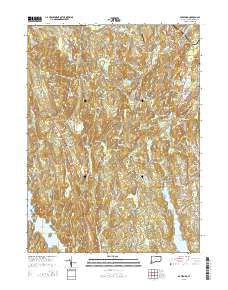
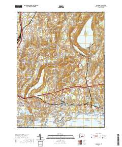
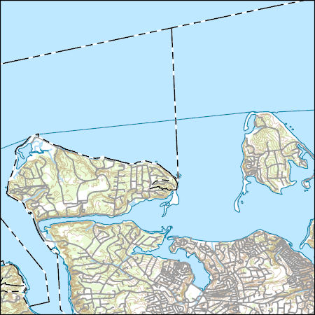
Layered GeoPDF 7.5 Minute Quadrangle Map. Layers of geospatial data include orthoimagery, roads, grids, geographic names, elevation contours, hydrography, and other selected map features.
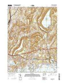
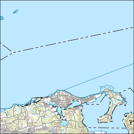
Layered GeoPDF 7.5 Minute Quadrangle Map. Layers of geospatial data include orthoimagery, roads, grids, geographic names, elevation contours, hydrography, and other selected map features.
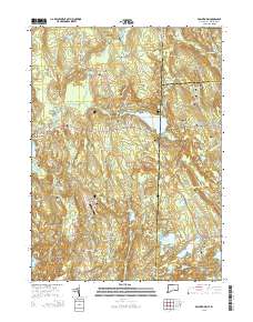
Layered GeoPDF 7.5 Minute Quadrangle Map. Layers of geospatial data include orthoimagery, roads, grids, geographic names, elevation contours, hydrography, and other selected map features.
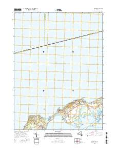
Layered geospatial PDF Map. Layers of geospatial data include orthoimagery, roads, grids, geographic names, elevation contours, hydrography, and other selected map features.

Layered GeoPDF 7.5 Minute Quadrangle Map. Layers of geospatial data include orthoimagery, roads, grids, geographic names, elevation contours, hydrography, and other selected map features.
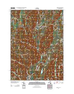
Layered GeoPDF 7.5 Minute Quadrangle Map. Layers of geospatial data include orthoimagery, roads, grids, geographic names, elevation contours, hydrography, and other selected map features.
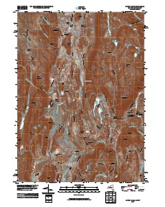
Layered GeoPDF 7.5 Minute Quadrangle Map. Layers of geospatial data include orthoimagery, roads, grids, geographic names, elevation contours, hydrography, and other selected map features.
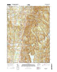
Layered GeoPDF 7.5 Minute Quadrangle Map. Layers of geospatial data include orthoimagery, roads, grids, geographic names, elevation contours, hydrography, and other selected map features.
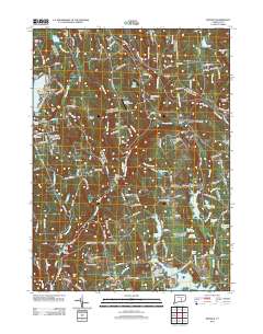
Layered GeoPDF 7.5 Minute Quadrangle Map. Layers of geospatial data include orthoimagery, roads, grids, geographic names, elevation contours, hydrography, and other selected map features.
Near-surface site characteristics are critical for accurately modeling ground motion, which in turn influences seismic hazard analysis and design of critical infrastructure. Currently, there are many strong motion accelerometers within the Advanced National Seismic System (ANSS) that are missing this information. We use a Geographic Information Systems (GIS) based framework to intersect the site coordinates of approximately 5,500 ANSS accelerometers located throughout the United States and its territories with geology and velocity information. We consider: (1) surficial geology from digitized geologic maps (Horton, 2017; Wilson et al., 2015; Sherrod et al., 2007; Bawiec, 1999; Saucedo, 2005; Bedrossian et al., 2012;...
Categories: Data;
Types: Map Service,
OGC WFS Layer,
OGC WMS Layer,
OGC WMS Service;
Tags: ANSS,
Alabama,
American Samoa,
Arizona,
Arkansas,
During the spring and summer of 2022, the U.S. Geological Survey collected water-quality samples for nutrient analysis at 45 stations across the state of Connecticut and adjacent areas of New York and Rhode Island to better understand the groundwater discharge component of nitrogen loading to the Long Island Sound. The targeted stations were located in small drainage basins (less than 50 square kilometers) in the southern portion of the Long Island Sound watershed. Sites were selected randomly from groups based on expected drivers or controls on baseflow nitrogen loads. Factors used in the grouping included four metrics calculated for the upstream watershed: percent impervious cover, septic system density, percent...
Categories: Data;
Types: Downloadable,
Map Service,
OGC WFS Layer,
OGC WMS Layer,
Shapefile;
Tags: Connecticut,
Connecticut Coastal,
Hydrology,
Long Island Sound,
New York,
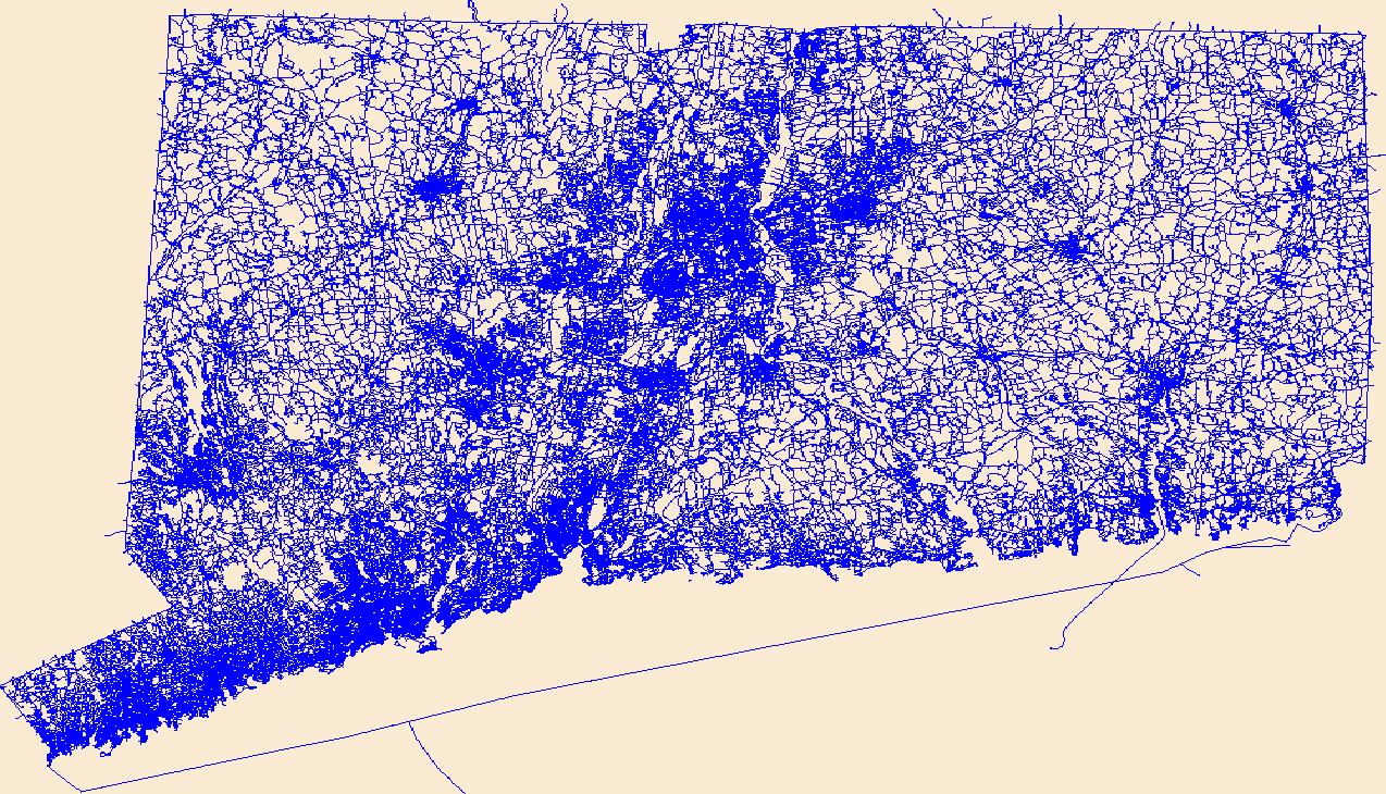
Layers of geospatial data include roads, airports, trails, and railroads.
Coastal communities are uniquely vulnerable to sea-level rise (SLR) and severe storms such as hurricanes. These events enhance the dispersion and concentration of natural and anthropogenic chemicals and pathogenic microorganisms that could adversely affect the health and resilience of coastal communities and ecosystems in coming years. The U.S. Geological Survey has developed the Sediment-Bound Contaminant Resiliency and Response (SCoRR) strategy to define baseline and post-event sediment-bound environmental health (EH) stressors. These data document toxicity measured by reduction of the light emission of Aliivibrio (formerly Photobacterium) fischeri and the inhibition of polymerase chain reactions caused by environmental...
Layered geospatial PDF 7.5 Minute Quadrangle Map. Layers of geospatial data include orthoimagery, roads, grids, geographic names, elevation contours, hydrography, and other selected map features. This map is derived from GIS (geospatial information system) data. It represents a repackaging of GIS data in traditional map form, not creation of new information. The geospatial data in this map are from selected National Map data holdings and other government sources.
Layered geospatial PDF 7.5 Minute Quadrangle Map. Layers of geospatial data include orthoimagery, roads, grids, geographic names, elevation contours, hydrography, and other selected map features. This map is derived from GIS (geospatial information system) data. It represents a repackaging of GIS data in traditional map form, not creation of new information. The geospatial data in this map are from selected National Map data holdings and other government sources.
The dwarf wedgemussel (Alasmidonta heterodon) is a federally endangered freshwater mussel that once ranged from New Brunswick to North Carolina, but now only exists in isolated populations throughout its diminished range. This study aimed to understand links between fish abundance and dwarf wedgemussel abundance and occurrence in the Connecticut and Delaware watersheds. Specifically, my study objectives were to 1) characterize fish assemblages near dwarf wedgemussel locations and unoccupied locations, 2) determine if dwarf wedgemussel occurrence and abundance are related to abundance of the known host fish species, tessellated darter and other potential host fish species per St. John White et. al. (2017). Two fish...

The Geographic Names Information System (GNIS) is the Federal standard for geographic nomenclature. The U.S. Geological Survey developed the GNIS for the U.S. Board on Geographic Names, a Federal inter-agency body chartered by public law to maintain uniform feature name usage throughout the Government and to promulgate standard names to the public. The GNIS is the official repository of domestic geographic names data; the official vehicle for geographic names use by all departments of the Federal Government; and the source for applying geographic names to Federal electronic and printed products of all types.
The Geographic Names Information System (GNIS) is the Federal standard for geographic nomenclature. The U.S. Geological Survey developed the GNIS for the U.S. Board on Geographic Names, a Federal inter-agency body chartered by public law to maintain uniform feature name usage throughout the Government and to promulgate standard names to the public. The GNIS is the official repository of domestic geographic names data; the official vehicle for geographic names use by all departments of the Federal Government; and the source for applying geographic names to Federal electronic and printed products of all types.
Layers of geospatial data include contours, boundaries, land cover, hydrography, roads, transportation, geographic names, structures, and other selected map features.
Layers of geospatial data include contours, boundaries, land cover, hydrography, roads, transportation, geographic names, structures, and other selected map features.
|

|
