Filters: Tags: Contiguous US (X)
3 results (4ms)|
Filters
|
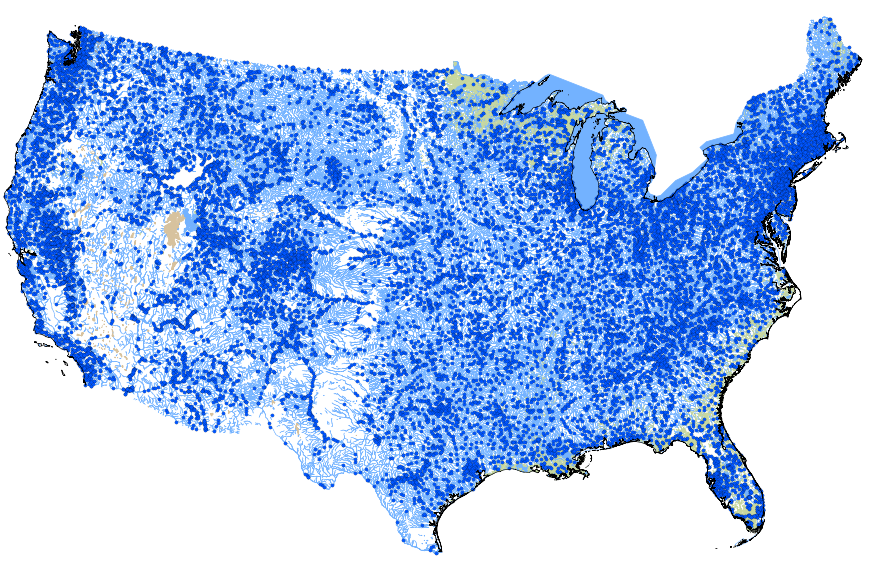
The files contained on this site are for use with the National Hydrologic Model (NHM) for the Precipitation Runoff Modeling System (PRMS), developed by the Modeling of Watershed Systems (MoWS) group of the U.S. Geological Survey. PRMS is a daily deterministic watershed-scale model (Markstrom and others, 2015), and can be used at a conterminous United States (CONUS) extent with on the Geospatial Fabric (Viger and Bock, 2014) in the NHM infrastructure (Regan and others, 2018). The NHM-PRMS is the sum of three parts: the source code, parameter values, geospatial fabric (Regan and others, in press). These components are used to generate the simlation output files. Child items of this page include all or parts of these...
The Land Transformation Model (LTM) is hierarchically coupled with meso-scale drivers to project urban growth across the conterminous USA. Quantity of urban growth 10 at county and place (i.e., city) scales is simulated using population, urban density and nearest neighbor dependent attributes. We compared three meso-scale LTMs to three null models that lack meso-scale drivers. Models were developed using circa 1990–2000 data and validated using change in the 2001 and 2006 National Land Cover Databases (NLCD). LTM and null models were assessed using the mean difference 15 in quantity between simulated and actual growth measured at multiple spatial scales. We found that LTM models performed relatively well at spatial...
Categories: Data;
Types: ArcGIS REST Map Service,
ArcGIS Service Definition,
Downloadable,
Map Service;
Tags: Contiguous US,
Thiessen polygons,
US,
United States,
land-use change modeling,
This geodatabase contains streams, waterbodies and wetlands, streamflow gaging stations, and coastlines for the conterminous United States. The streams are incorporated into a geometric network. All feature classes are vertically integrated with each other and with 1:1,000,000-scale transportation and boundary data sets.
|

|
