Filters: Tags: Coos Bay (X)
49 results (30ms)|
Filters
Date Range
Extensions Types Contacts
Categories Tag Types
|
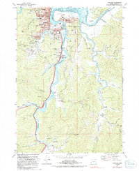
USGS Historical Quadrangle in GeoPDF.
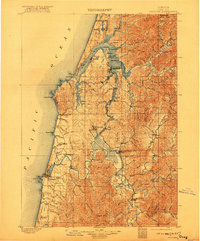
USGS Historical Quadrangle in GeoPDF.
This data release contains data from the USGS field activity 2014-607-FA, a survey of the Oregon Outer Continental Shelf (OCS) Floating Wind Farm Site in 2014.The bathymetry raster was generated from bathymetry data collected by U.S. Geological Survey (USGS) during the period from August 20 to September 1, 2014 using a Reson 7111 multibeam echosounder. The mapping mission collected bathymetry data from about 163 m to 566 m depths on the Oregon outer continental shelf. The acquisition was funded by the U.S. Bureau of Ocean Energy Management. Contours were generated using the ESRI Contour tool in spatial analysit. The contour interval is 10 meters.
Categories: Data;
Types: Downloadable,
Map Service,
OGC WFS Layer,
OGC WMS Layer,
Shapefile;
Tags: Backscatter,
Bathymetry,
Bathymetry and Elevation,
CMGP,
Coos Bay,
This seafloor-character raster is part of a data release of the Oregon outer continental shelf (OCS) proposed wind farm map site. The substrate classes mapped in this area have been numbered to indicate combinations of seafloor hardness and ruggedness. The map was created from multibeam echosounder (MBES) bathymetry and backscattter data collected in 2014 and processed in 2015 (Cochrane and others, 2016) and a video supervised classification method described by Cochrane (2008). Cochrane, G.R., 2008, Video-supervised classification of sonar data for mapping seafloor habitat, in Reynolds, J.R., and Greene, H.G., eds., Marine habitat mapping technology for Alaska: Fairbanks, University of Alaska, Alaska Sea Grant...
Categories: Data;
Types: Citation,
Downloadable,
GeoTIFF,
Map Service,
Raster;
Tags: BOEM,
Bureau of Ocean Energy Management,
CMGP,
Coastal and Marine Geology Program,
Coos Bay,
This data release contains digital video files from the USGS field activity 2014-607-FA, a survey of the Oregon Outer Continental Shelf (OCS) Floating Wind Farm Site in 2014. Video data were collected over 3 days between September 6 and September 9, 2014 using a towed camera sled system. 11.6 hours of video were collected along 18 transects; the mean length of time per transect was 38 minutes. Video operations were conducted by deploying up drift of a target and drifting over it at speeds of 1 knot or slower. The video data were collected in order to ground truth geologic and habitat interpretations of sonar data collected during the same field activity. The video-survey locations were chosen after the sonar mapping...
Categories: Data;
Types: Citation,
Downloadable;
Tags: CMGP,
Coastal and Marine Geology Program,
Coos Bay,
Outer Continental Shelf,
PCMSC,

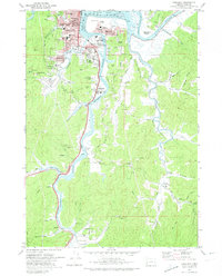
USGS Historical Quadrangle in GeoPDF.

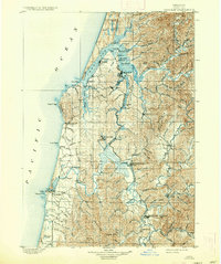
USGS Historical Quadrangle in GeoPDF.
USGS Historical Quadrangle in GeoPDF.
USGS Historical Quadrangle in GeoPDF.
|

|
