Filters: Tags: Counties (X)
74 results (210ms)|
Filters
Date Range
Extensions Types Contacts
Categories Tag Types Tag Schemes
|

This thematic map presents the population density in the United States in 2010. Population density is the number of people per square mile. It is calculated by dividing the total population count of geographic feature by the area of the feature, in square miles. The area is calculated from the geometry of the geographic feature in projected coordinates. The geography depicts states at greater than 25m scale, counties at 1m to 25m scale, Census Tracts at 250k to 1m scale, and Census Block Groups at less than 250k scale. The map has been designed to be displayed with semi-transparency of about 50% for overlay on other base maps, which is reflected in the legend for the map. For more information on this map, visit...
Tax district mapping is an important function of the Property Tax Division - Technical Services Group. The identification of tax districts aids in the mill levy process and helps counties redistribute tax funds more effectively.
Categories: Data;
Types: Downloadable;
Tags: Counties,
Sublette County,
Tax Districts,
Tax Entities,
United States,
Taxing Entities consist of a group of people who organize to tax themselves for specific purposes. These may include, but are not limited to: improvement and service districts for repairing or replacing a local road; water and sewer to provide infrastructure to a rural area for water and sewer facilities; conservation districts to help protect natural resources; and fire to provide fire protection services to rural areas, etc.
Categories: Data;
Types: Downloadable;
Tags: Boundaries,
Cities,
Counties,
Municipal,
Municipalities,
Tax district mapping is an important function of the Property Tax Division - Technical Services Group. The identification of tax districts aids in the mill levy process and helps counties redistribute tax funds more effectively.
Categories: Data;
Types: Downloadable;
Tags: Counties,
Park County,
Tax Districts,
Tax Entities,
United States,
Tax district mapping is an important function of the Property Tax Division - Technical Services Group. The identification of tax districts aids in the mill levy process and helps counties redistribute tax funds more effectively.
Categories: Data;
Types: Downloadable;
Tags: Carbon County,
Counties,
Tax Districts,
Tax Entities,
United States,
Tax district mapping is an important function of the Property Tax Division - Technical Services Group. The identification of tax districts aids in the mill levy process and helps counties redistribute tax funds more effectively.
Categories: Data;
Types: Downloadable;
Tags: Counties,
Fremont County,
Tax Districts,
Tax Entities,
United States,
Tax district mapping is an important function of the Property Tax Division - Technical Services Group. The identification of tax districts aids in the mill levy process and helps counties redistribute tax funds more effectively.
Categories: Data;
Types: Downloadable;
Tags: Counties,
Natrona County,
Tax Districts,
Tax Entities,
United States,
These are shapefiles and polygon coverages that contain numerous attributes of information on coal in the Calico and A-sequences of the Upper Cretaceous Straight Cliffs Formation in the Kaiparowits Plateau study area in southern Utah. These layers were derived from a "union" process of combining numerous polygon coverages using the Environmental Systems Research Institute, Inc. (ESRI) Arc/Info UNION command, and finally calculating coal tonnage in INFO. Net coal thickness values are from 209 data points and represent all coal beds that are more than 1 foot thick. The outside polygon defines the base of the coal-bearing Calico and A-sequences east of 112 degrees of longitude. The northern boundary is delineated by...
Categories: Data,
pre-SM502.8;
Types: Downloadable,
Map Service,
OGC WFS Layer,
OGC WMS Layer,
Shapefile;
Tags: 7.5' quadrangles,
Calico sequence boundary,
Colorado Plateau,
Colorado Plateau,
Colorado Plateau coal assessment,
Tax district mapping is an important function of the Property Tax Division - Technical Services Group. The identification of tax districts aids in the mill levy process and helps counties redistribute tax funds more effectively.
Categories: Data;
Types: Downloadable;
Tags: Counties,
Johnson County,
Tax Districts,
Tax Entities,
United States,
Tax district mapping is an important function of the Ad Valorem Mapping and Ag Section. The identification of tax districts aids in the mill levy process and helps counties to redistribute tax monies more effectively.
Categories: Data;
Types: Downloadable;
Tags: Counties,
Tax Districts,
United States,
Wyoming,
boundaries,
USGS Small-scale Dataset - 1:1,000,000-Scale County Boundaries of the United States 201403 Shapefile
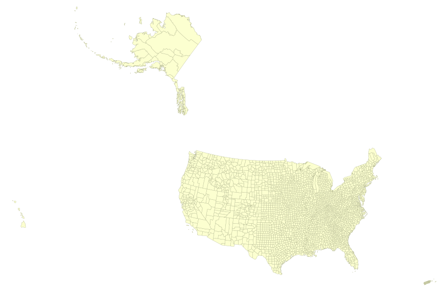
This map layer portrays the county boundaries of the United States, Puerto Rico, and the U.S. Virgin Islands, by showing the counties as areas. The map layer was created by extracting county polygon features from the CENSUS 2006 TIGER/Line files produced by the U.S. Census Bureau. These files were then merged into a single file. This is a revised version of the July 2012 map layer.

This map layer portrays the county boundaries of the United States, Puerto Rico, and the U.S. Virgin Islands, by showing the counties as areas. The map layer was created by extracting county polygon features from the CENSUS 2006 TIGER/Line files produced by the U.S. Census Bureau. These files were then merged into a single file. This is a revised version of the July 2012 map layer.
Tax district mapping is an important function of the Property Tax Division ? Technical Services Group. The identification of tax districts aids in the mill levy process and helps counties to redistribute tax monies more effectively.
Categories: Data;
Types: Downloadable;
Tags: Counties,
Tax Districts,
United States,
Wyoming,
boundaries,
Population of counties for year 2005.
Categories: Data;
Types: ArcGIS REST Map Service,
ArcGIS Service Definition,
Downloadable,
Map Service;
Tags: counties,
current population,
population change,
population projections,
population scenarios
Projected population of counties for year 2050.
Categories: Data;
Types: ArcGIS REST Map Service,
ArcGIS Service Definition,
Downloadable,
Map Service;
Tags: counties,
current population,
population change,
population projections
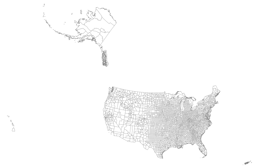
This map layer portrays the county boundaries of the United States, Puerto Rico, and the U.S. Virgin Islands as linework. The map layer was derived from the 1:1,000,000-Scale County Boundaries of the United States polygon data set by applying the Arc/Info Clean function. The Clean function eliminates the duplicate arcs present in polygon shapefiles, leaving one copy of each line.
Tax district mapping is an important function of the Ad Valorem Mapping and Ag Section. The identification of tax districts aids in the mill levy process and helps counties to redistribute tax monies more effectively.
Categories: Data;
Types: Downloadable;
Tags: Counties,
Tax Districts,
United States,
Wyoming,
boundaries,
Taxing Entities consist of a group of people who organize to tax themselves for specific purposes. These may include, but are not limited to: improvement and service districts for repairing or replacing a local road; water and sewer to provide infrastructure to a rural area for water and sewer facilities; conservation districts to help protect natural resources; and fire to provide fire protection services to rural areas, etc.

In late 1996, the Dept of Conservation (DOC) surveyed state and federal agencies about the county boundary coverage they used. As a result, DOC adopted the 1:24,000 (24K) scale U.S. Bureau of Reclamation (USBR) dataset (USGS source) for their Farmland Mapping and Monitoring Program (FMMP) but with several modifications. Detailed documentation of these changes is provided by FMMP and included in the lineage section of the metadata. A dataset named cnty24k97_1 was made available (approximately 2004) through the California Department of Forestry and Fire Protection - Fire and Resource Assessment Program (CDF - FRAP) and the California Spatial Information Library (CaSIL). In late 2006, the Department of Fish and Game...
Taxing Entities consist of a group of people who organize to tax themselves for specific purposes. These may include, but are not limited to: improvement and service districts for repairing or replacing a local road; water and sewer to provide infrastructure to a rural area for water and sewer facilities; conservation districts to help protect natural resources; and fire to provide fire protection services to rural areas, etc.
Categories: Data;
Types: Downloadable;
Tags: Counties,
Tax Entities,
United States,
Wyoming,
boundaries,
|

|
