Filters: Tags: Crowley County (X) > Types: Citation (X)
64 results (48ms)|
Filters
Date Range
Extensions Types
Contacts
Categories Tag Types Tag Schemes |
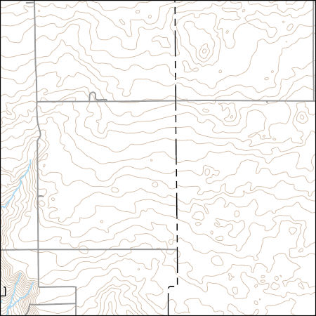
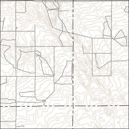
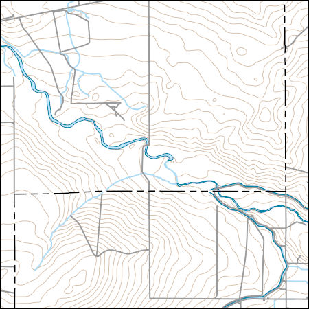
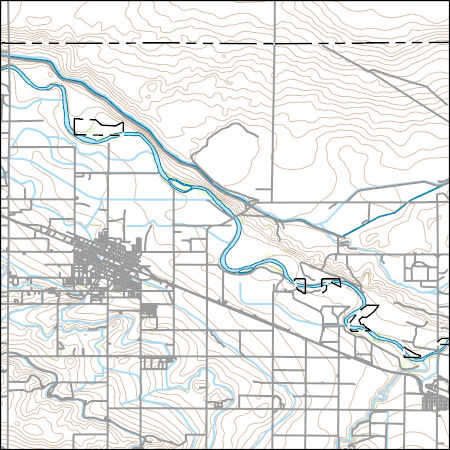
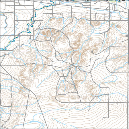
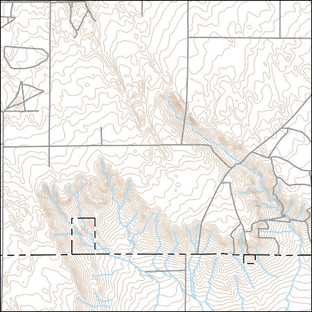
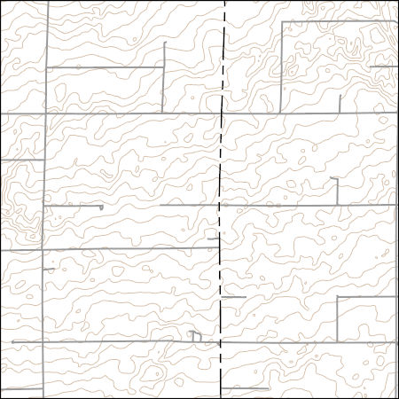
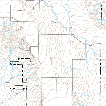
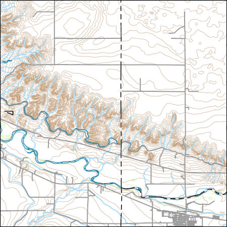
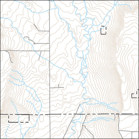
Layers of geospatial data include contours, boundaries, land cover, hydrography, roads, transportation, geographic names, structures, and other selected map features.
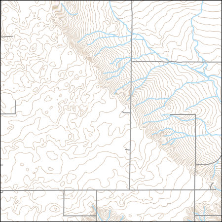
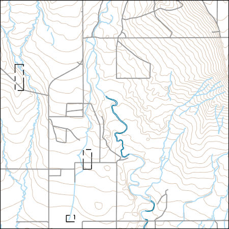
Layers of geospatial data include contours, boundaries, land cover, hydrography, roads, transportation, geographic names, structures, and other selected map features.
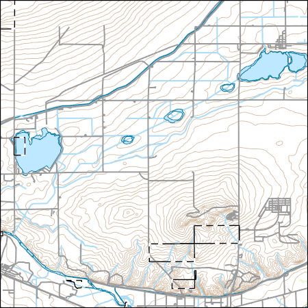
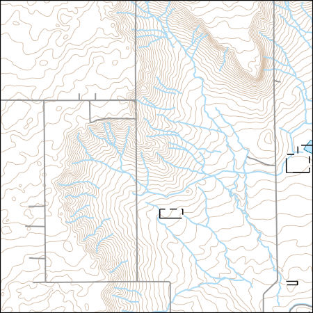
Layers of geospatial data include contours, boundaries, land cover, hydrography, roads, transportation, geographic names, structures, and other selected map features.
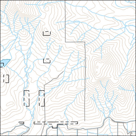
Layers of geospatial data include contours, boundaries, land cover, hydrography, roads, transportation, geographic names, structures, and other selected map features.
Layers of geospatial data include contours, boundaries, land cover, hydrography, roads, transportation, geographic names, structures, and other selected map features.
Layers of geospatial data include contours, boundaries, land cover, hydrography, roads, transportation, geographic names, structures, and other selected map features.
Layers of geospatial data include contours, boundaries, land cover, hydrography, roads, transportation, geographic names, structures, and other selected map features.
Raster showing change in water-table altitude between Fall of 2002 and Fall of 2015 in the alluvium in the Lower Arkansas River Valley, Southeast Colorado. Hereafter "fall" is defined as June 1 to November 30. All interpolation and geoprocessing was done using ArcGIS Desktop v10 (Environmental Systems Research Institute, 2011).
Categories: Data;
Types: Citation,
Downloadable,
GeoTIFF,
Map Service,
Raster;
Tags: Arkansas River,
Bent County,
Crowley County,
Otero County,
Prowers County,
Layers of geospatial data include contours, boundaries, land cover, hydrography, roads, transportation, geographic names, structures, and other selected map features.
Layers of geospatial data include contours, boundaries, land cover, hydrography, roads, transportation, geographic names, structures, and other selected map features.
Raster dataset showing saturated thickness (in feet) of the alluvium in the Lower Arkansas River Valley, Southeast Colorado, June 1 - November 30, 2008 (hereafter defined as "fall"). Saturated thickness values based on water levels measured in the study area and median lake level at John Martin Reservoir during this time period. Surface interpolations for water-table altitude were done using Inverse Distance Weighting using coordinate and altitude data from "Wells and water-level altitude in the alluvium in the Lower Arkansas River Valley, Southeast Colorado, Spring and Fall 2002, 2008, and 2015" (see cross reference section in metadata), and surface interpolation of bedrock was done using Topo to Raster using elevation...
Categories: Data;
Types: Citation,
Downloadable,
GeoTIFF,
Map Service,
Raster;
Tags: Arkansas River,
Bent County,
Crowley County,
Groundwater Level,
Hydrogeology,
Layers of geospatial data include contours, boundaries, land cover, hydrography, roads, transportation, geographic names, structures, and other selected map features.
Layers of geospatial data include contours, boundaries, land cover, hydrography, roads, transportation, geographic names, structures, and other selected map features.
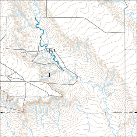
USGS Topo Map Vector Data (Vector) 16164 Fowler, Colorado 20220512 for 7.5 x 7.5 minute FileGDB 10.1
Layers of geospatial data include contours, boundaries, land cover, hydrography, roads, transportation, geographic names, structures, and other selected map features.
Layers of geospatial data include contours, boundaries, land cover, hydrography, roads, transportation, geographic names, structures, and other selected map features.
Raster showing change in water-table altitude between Fall of 2002 and Fall of 2008 in the alluvium in the Lower Arkansas River Valley, Southeast Colorado. Hereafter "fall" is defined as June 1 to November 30. All interpolation and geoprocessing was done using ArcGIS Desktop v10 (Environmental Systems Research Institute, 2011).
Categories: Data;
Types: Citation,
Downloadable,
GeoTIFF,
Map Service,
Raster;
Tags: Arkansas River,
Bent County,
Crowley County,
Otero County,
Prowers County,
Raster dataset showing saturated thickness (in feet) of the alluvium in the Lower Arkansas River Valley, Southeast Colorado, January 1 - May 31, 2015 and December 1 - 31, 2015 (hereafter defined as "spring"). Saturated thickness values based on water levels measured in the study area and median lake level at John Martin Reservoir during this time period. Surface interpolations for water-table altitude were done using Inverse Distance Weighting using coordinate and altitude data from "Wells and water-level altitude in the alluvium in the Lower Arkansas River Valley, Southeast Colorado, Spring and Fall 2002, 2008, and 2015" (see cross reference section in metadata), and surface interpolation of bedrock was done using...
Categories: Data;
Types: Citation,
Downloadable,
GeoTIFF,
Map Service,
Raster;
Tags: Arkansas River,
Bent County,
Crowley County,
Groundwater Level,
Hydrogeology,
Layers of geospatial data include contours, boundaries, land cover, hydrography, roads, transportation, geographic names, structures, and other selected map features.
Layers of geospatial data include contours, boundaries, land cover, hydrography, roads, transportation, geographic names, structures, and other selected map features.
Layers of geospatial data include contours, boundaries, land cover, hydrography, roads, transportation, geographic names, structures, and other selected map features.
|

|
