Filters: Tags: DAKOTA (X)
771 results (41ms)|
Filters
Date Range
Types (Less) Contacts (Less)
Categories (Less) Tag Types
|
This data set contains imagery from the National Agriculture Imagery Program (NAIP). The NAIP program is administered by USDA FSA and has been established to support two main FSA strategic goals centered on agricultural production. These are, increase stewardship of America's natural resources while enhancing the environment, and to ensure commodities are procured and distributed effectively and efficiently to increase food security. The NAIP program supports these goals by acquiring and providing ortho imagery that has been collected during the agricultural growing season in the U.S. The NAIP ortho imagery is tailored to meet FSA requirements and is a fundamental tool used to support FSA farm and conservation programs....
This data set contains imagery from the National Agriculture Imagery Program (NAIP). The NAIP program is administered by USDA FSA and has been established to support two main FSA strategic goals centered on agricultural production. These are, increase stewardship of America's natural resources while enhancing the environment, and to ensure commodities are procured and distributed effectively and efficiently to increase food security. The NAIP program supports these goals by acquiring and providing ortho imagery that has been collected during the agricultural growing season in the U.S. The NAIP ortho imagery is tailored to meet FSA requirements and is a fundamental tool used to support FSA farm and conservation programs....
This data set contains imagery from the National Agriculture Imagery Program (NAIP). The NAIP program is administered by USDA FSA and has been established to support two main FSA strategic goals centered on agricultural production. These are, increase stewardship of America's natural resources while enhancing the environment, and to ensure commodities are procured and distributed effectively and efficiently to increase food security. The NAIP program supports these goals by acquiring and providing ortho imagery that has been collected during the agricultural growing season in the U.S. The NAIP ortho imagery is tailored to meet FSA requirements and is a fundamental tool used to support FSA farm and conservation programs....
This data set contains imagery from the National Agriculture Imagery Program (NAIP). The NAIP program is administered by USDA FSA and has been established to support two main FSA strategic goals centered on agricultural production. These are, increase stewardship of America's natural resources while enhancing the environment, and to ensure commodities are procured and distributed effectively and efficiently to increase food security. The NAIP program supports these goals by acquiring and providing ortho imagery that has been collected during the agricultural growing season in the U.S. The NAIP ortho imagery is tailored to meet FSA requirements and is a fundamental tool used to support FSA farm and conservation programs....
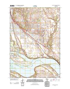
Layered GeoPDF 7.5 Minute Quadrangle Map. Layers of geospatial data include orthoimagery, roads, grids, geographic names, elevation contours, hydrography, and other selected map features.
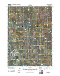
Layered GeoPDF 7.5 Minute Quadrangle Map. Layers of geospatial data include orthoimagery, roads, grids, geographic names, elevation contours, hydrography, and other selected map features.
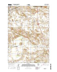
Layered geospatial PDF Map. Layers of geospatial data include orthoimagery, roads, grids, geographic names, elevation contours, hydrography, and other selected map features.
Geospatial data includes structures and other selected map features.
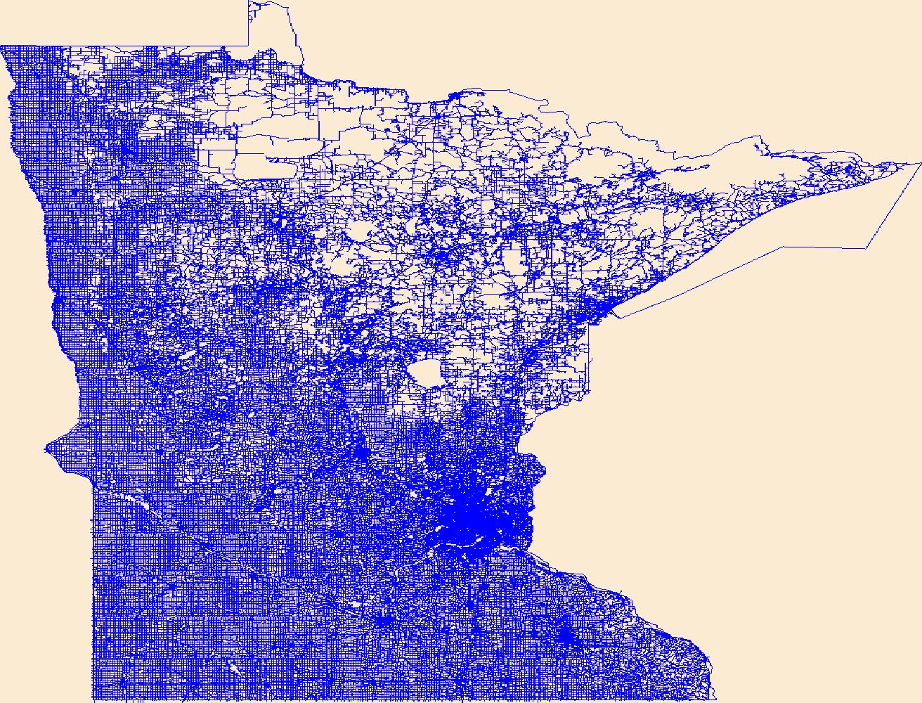
Layers of geospatial data include roads, airports, trails, and railroads.

The Watershed Boundary Dataset (WBD) is a comprehensive aggregated collection of hydrologic unit data consistent with the national criteria for delineation and resolution. It defines the areal extent of surface water drainage to a point except in coastal or lake front areas where there could be multiple outlets as stated by the "Federal Standards and Procedures for the National Watershed Boundary Dataset (WBD)" "Standard" (https://pubs.usgs.gov/tm/11/a3/). Watershed boundaries are determined solely upon science-based hydrologic principles, not favoring any administrative boundaries or special projects, nor particular program or agency. This dataset represents the hydrologic unit boundaries to the 12-digit (6th level)...
The National Hydrography Dataset (NHD) is a feature-based database that interconnects and uniquely identifies the stream segments or reaches that make up the nation's surface water drainage system. NHD data was originally developed at 1:100,000-scale and exists at that scale for the whole country. This high-resolution NHD, generally developed at 1:24,000/1:12,000 scale, adds detail to the original 1:100,000-scale NHD. (Data for Alaska, Puerto Rico and the Virgin Islands was developed at high-resolution, not 1:100,000 scale.) Local resolution NHD is being developed where partners and data exist. The NHD contains reach codes for networked features, flow direction, names, and centerline representations for areal water...
The National Hydrography Dataset (NHD) is a feature-based database that interconnects and uniquely identifies the stream segments or reaches that make up the nation's surface water drainage system. NHD data was originally developed at 1:100,000-scale and exists at that scale for the whole country. This high-resolution NHD, generally developed at 1:24,000/1:12,000 scale, adds detail to the original 1:100,000-scale NHD. (Data for Alaska, Puerto Rico and the Virgin Islands was developed at high-resolution, not 1:100,000 scale.) Local resolution NHD is being developed where partners and data exist. The NHD contains reach codes for networked features, flow direction, names, and centerline representations for areal water...
Core Research Center, core D061, from well operated by CENTURY OIL & GASRaw Properties from download, web scrape, MapServer, and Macrostrat API{"Lib Num": "D061", "API Num": "4902521695", "Operator": "CENTURY OIL & GAS", "Well Name": "13-16 LATHAM", "Field": "NORTH GEARY", "State": "WY", "County": "NATRONA", "Type": "SLABBED", "Photos": "F", "Thin Sec": "F", "Analysis": "F", "Latitude": "42.91044", "Longitude": "-106.14416", "coordinates_geohash": "9xss0es5mvcc", "Source": "FROM STATE RECORDS", "Security Flag": "NO SPECIAL RESTRICTIONS", "crc_collection_name": "core", "sb_parent_id": "4f4e49dae4b07f02db5e0486", "intervals": [{"Formation": "DAKOTA", "Age": "CRET", "Min Depth": "7488", "Max Depth": "7508"}], "crcwc_url":...
Core Research Center, core E392, from well operated by WASHINGTON ENERGYRaw Properties from download, web scrape, MapServer, and Macrostrat API{"Lib Num": "E392", "API Num": "4904120975", "Operator": "WASHINGTON ENERGY", "Well Name": "10-17 HENRY UNIT", "Field": "HENRY", "State": "WY", "County": "UINTA", "Type": "SLABBED", "Photos": "F", "Thin Sec": "F", "Analysis": "F", "Latitude": "41.1106", "Longitude": "-110.17692", "coordinates_geohash": "9x39uggweemc", "Source": "FROM STATE RECORDS", "Security Flag": "NO SPECIAL RESTRICTIONS", "crc_collection_name": "core", "sb_parent_id": "4f4e49dae4b07f02db5e0486", "intervals": [{"Formation": "DAKOTA", "Age": "CRET", "Min Depth": "13557", "Max Depth": "13621"}], "crcwc_url":...
Categories: Physical Item;
Tags: Bridger Formation,
CRET,
DAKOTA,
Middle part, Bridger Formation,
middle Eocene
Core Research Center, core T297, from well operated by MARATHON RESOURCESRaw Properties from download, web scrape, MapServer, and Macrostrat API{"Lib Num": "T297", "API Num": null, "Operator": "MARATHON RESOURCES", "Well Name": "56B MCDOWELL RANCH", "Field": null, "State": "MT", "County": "CARTER", "Type": "FULL", "Photos": "F", "Thin Sec": "F", "Analysis": "F", "Latitude": "45.106436", "Longitude": "-104.470188", "coordinates_geohash": "c8j8werhh1jg", "Source": "CENTER OF SECTION", "Security Flag": "NO SPECIAL RESTRICTIONS", "crc_collection_name": "core", "sb_parent_id": "4f4e49dae4b07f02db5e0486", "intervals": [{"Formation": "DAKOTA", "Age": "CRET", "Min Depth": "1230", "Max Depth": "1380"}], "crcwc_url": "https://my.usgs.gov/crcwc/core/report/14084",...
Core Research Center, core F037, from well operated by DIAMOND SHAMROCKRaw Properties from download, web scrape, MapServer, and Macrostrat API{"Lib Num": "F037", "API Num": "4900922412", "Operator": "DIAMOND SHAMROCK", "Well Name": "1 SNAKE CHARMER DRAW UNIT", "Field": "SNAKE CHARMER DRAW", "State": "WY", "County": "CONVERSE", "Type": "SLABBED", "Photos": "T", "Thin Sec": "F", "Analysis": "F", "Latitude": "43.25036", "Longitude": "-105.92615", "coordinates_geohash": "9xswj96ztg3y", "Source": "FROM STATE RECORDS", "Security Flag": "NO SPECIAL RESTRICTIONS", "crc_collection_name": "core", "sb_parent_id": "4f4e49dae4b07f02db5e0486", "intervals": [{"Formation": "DAKOTA", "Age": "CRET", "Min Depth": "13870", "Max Depth":...
Core Research Center, core E038, from well operated by BASS ENTERPRISESRaw Properties from download, web scrape, MapServer, and Macrostrat API{"Lib Num": "E038", "API Num": "4900529841", "Operator": "BASS ENTERPRISES", "Well Name": "1 UTC UNIT", "Field": "ARCHIBALD", "State": "WY", "County": "CAMPBELL", "Type": "SLABBED", "Photos": "F", "Thin Sec": "F", "Analysis": "F", "Latitude": "43.59921", "Longitude": "-105.71149", "coordinates_geohash": "9xub42zpz9zf", "Source": "FROM STATE RECORDS", "Security Flag": "NO SPECIAL RESTRICTIONS", "crc_collection_name": "core", "sb_parent_id": "4f4e49dae4b07f02db5e0486", "intervals": [{"Formation": "DAKOTA", "Age": null, "Min Depth": "12470", "Max Depth": "12509"}, {"Formation":...
Core Research Center, core E941, from well operated by ENCANA ENERGYRaw Properties from download, web scrape, MapServer, and Macrostrat API{"Lib Num": "E941", "API Num": "0512320883", "Operator": "ENCANA ENERGY", "Well Name": "32-4 OLIN", "Field": "WATTENBERG", "State": "CO", "County": "WELD", "Type": "SLABBED", "Photos": "F", "Thin Sec": "F", "Analysis": "T", "Latitude": "40.082549", "Longitude": "-104.666556", "coordinates_geohash": "9xjs42b1u2xn", "Source": "FROM STATE RECORDS", "Security Flag": "NO SPECIAL RESTRICTIONS", "crc_collection_name": "core", "sb_parent_id": "4f4e49dae4b07f02db5e0486", "intervals": [{"Formation": "DAKOTA", "Age": "CRET", "Min Depth": "7866", "Max Depth": "7867"}, {"Formation": "DAKOTA",...
Categories: Physical Item;
Tags: CRET,
CRET,
DAKOTA,
DAKOTA,
Eolium (Windblown Clay, Silt (Loess), Sand And Granules),
Core Research Center, core B297, from well operated by SOUTHLAND ROYALTY CORaw Properties from download, web scrape, MapServer, and Macrostrat API{"Lib Num": "B297", "API Num": "3004523387", "Operator": "SOUTHLAND ROYALTY CO", "Well Name": "1 TSAYA", "Field": "WILDCAT", "State": "NM", "County": "SAN JUAN", "Type": "SLABBED", "Photos": "T", "Thin Sec": "F", "Analysis": "F", "Latitude": "36.1818822950002", "Longitude": "-108.110744081349", "coordinates_geohash": "9w7jgfsntpdq", "Source": "FROM STATE RECORDS", "Security Flag": "NO SPECIAL RESTRICTIONS", "crc_collection_name": "core", "sb_parent_id": "4f4e49dae4b07f02db5e0486", "intervals": [{"Formation": "DAKOTA", "Age": "CRET", "Min Depth": "4591", "Max Depth": "4649"}],...
Categories: Physical Item;
Tags: CRET,
Campanian,
DAKOTA,
Kirtland Formation; Fruitland Formations,
Kirtland and Fruitland Formations,
Core Research Center, core B210, from well operated by MOBIL OILRaw Properties from download, web scrape, MapServer, and Macrostrat API{"Lib Num": "B210", "API Num": "4904509088", "Operator": "MOBIL OIL", "Well Name": "F-21-3-P KRAUSE", "Field": "COYOTE CREEK", "State": "WY", "County": "WESTON", "Type": "SLABBED", "Photos": "T", "Thin Sec": "T", "Analysis": "T", "Latitude": "44.17517", "Longitude": "-105.01147", "coordinates_geohash": "9xv763ugp2s9", "Source": "FROM STATE RECORDS", "Security Flag": "NO SPECIAL RESTRICTIONS", "crc_collection_name": "core", "sb_parent_id": "4f4e49dae4b07f02db5e0486", "intervals": [{"Formation": "DAKOTA", "Age": "CRET", "Min Depth": "6500", "Max Depth": "6535"}, {"Formation": "DAKOTA",...
|

|
