Filters: Tags: DIRECT (X)
13 results (9ms)|
Filters
Date Range
Extensions Types Contacts
Categories Tag Types Tag Schemes |
This data set contains imagery from the National Agriculture Imagery Program (NAIP). The NAIP program is administered by USDA FSA and has been established to support two main FSA strategic goals centered on agricultural production. These are, increase stewardship of America's natural resources while enhancing the environment, and to ensure commodities are procured and distributed effectively and efficiently to increase food security. The NAIP program supports these goals by acquiring and providing ortho imagery that has been collected during the agricultural growing season in the U.S. The NAIP ortho imagery is tailored to meet FSA requirements and is a fundamental tool used to support FSA farm and conservation programs....
This data set contains imagery from the National Agriculture Imagery Program (NAIP). The NAIP program is administered by USDA FSA and has been established to support two main FSA strategic goals centered on agricultural production. These are increase stewardship of America's natural resources while enhancing the environment, and to ensure commodities are procured and distributed effectively and efficiently to increase food security. The NAIP program supports these goals by acquiring and providing ortho imagery that has been collected during the agricultural growing season in the U.S. The NAIP ortho imagery is tailored to meet FSA requirements and is a fundamental tool used to support FSA farm and conservation programs....
This data set contains imagery from the National Agriculture Imagery Program (NAIP). The NAIP program is administered by USDA FSA and has been established to support two main FSA strategic goals centered on agricultural production. These are increase stewardship of America's natural resources while enhancing the environment, and to ensure commodities are procured and distributed effectively and efficiently to increase food security. The NAIP program supports these goals by acquiring and providing ortho imagery that has been collected during the agricultural growing season in the U.S. The NAIP ortho imagery is tailored to meet FSA requirements and is a fundamental tool used to support FSA farm and conservation programs....
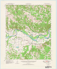
USGS Historical Quadrangle in GeoPDF.
The Southern Appalachian forest region of the U.S.-a region responsible for 23% of U.S. coal production-has 24 billion metric tons of high quality coal remaining of which mountaintop coal mining (MCM) will be the primary extraction method. Here we consider greenhouse gas emissions associated with MCM terrestrial disturbance in the life-cycle of coal energy production. We estimate disturbed forest carbon, including terrestrial soil and nonsoil carbon using published U.S. Environmental Protection Agency data of the forest floor removed and U.S. Department of Agriculture - Forest Service inventory data. We estimate the amount of previously buried geogenic organic carbon brought to the soil surface during MCM using...
This data set contains imagery from the National Agriculture Imagery Program (NAIP). The NAIP program is administered by USDA FSA and has been established to support two main FSA strategic goals centered on agricultural production. These are increase stewardship of America's natural resources while enhancing the environment, and to ensure commodities are procured and distributed effectively and efficiently to increase food security. The NAIP program supports these goals by acquiring and providing ortho imagery that has been collected during the agricultural growing season in the U.S. The NAIP ortho imagery is tailored to meet FSA requirements and is a fundamental tool used to support FSA farm and conservation programs....
This data set contains imagery from the National Agriculture Imagery Program (NAIP). The NAIP program is administered by USDA FSA and has been established to support two main FSA strategic goals centered on agricultural production. These are, increase stewardship of America's natural resources while enhancing the environment, and to ensure commodities are procured and distributed effectively and efficiently to increase food security. The NAIP program supports these goals by acquiring and providing ortho imagery that has been collected during the agricultural growing season in the U.S. The NAIP ortho imagery is tailored to meet FSA requirements and is a fundamental tool used to support FSA farm and conservation programs....
Effective water management is critical for social welfare and ecosystem health. Nevertheless, information necessary to meaningfully assess sustainable water use is incomplete. In particular, little information is available on supply chain or indirect water use for the production of goods and services in the United States. We estimate a vector of water withdrawals for all 428 sectors in the 2002 U.S. economic input-output table. The vector was applied using economic input-output life cycle assessment (EIO-LCA) methods to estimate direct and indirect water withdrawals for each sector’s production, both in terms of total withdrawals and per dollar of output. Agriculture and power generation account for an overwhelming...
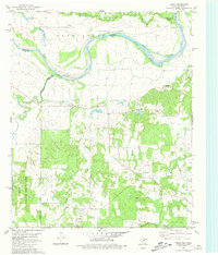
USGS Historical Quadrangle in GeoPDF.
This data set contains imagery from the National Agriculture Imagery Program (NAIP). The NAIP program is administered by USDA FSA and has been established to support two main FSA strategic goals centered on agricultural production. These are increase stewardship of America's natural resources while enhancing the environment, and to ensure commodities are procured and distributed effectively and efficiently to increase food security. The NAIP program supports these goals by acquiring and providing ortho imagery that has been collected during the agricultural growing season in the U.S. The NAIP ortho imagery is tailored to meet FSA requirements and is a fundamental tool used to support FSA farm and conservation programs....
The Southern Appalachian forest region of the U.S.-a region responsible for 23% of U.S. coal production-has 24 billion metric tons of high quality coal remaining of which mountaintop coal mining (MCM) will be the primary extraction method. Here we consider greenhouse gas emissions associated with MCM terrestrial disturbance in the life-cycle of coal energy production. We estimate disturbed forest carbon, including terrestrial soil and nonsoil carbon using published U.S. Environmental Protection Agency data of the forest floor removed and U.S. Department of Agriculture - Forest Service inventory data. We estimate the amount of previously buried geogenic organic carbon brought to the soil surface during MCM using...
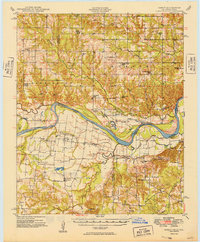
USGS Historical Quadrangle in GeoPDF.
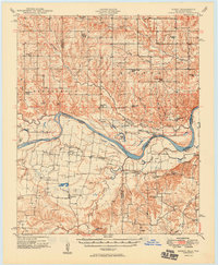
USGS Historical Quadrangle in GeoPDF.
|

|
