Filters
Date Range
Extensions
Types
Contacts
Categories
Tag Types
Tag Schemes
|
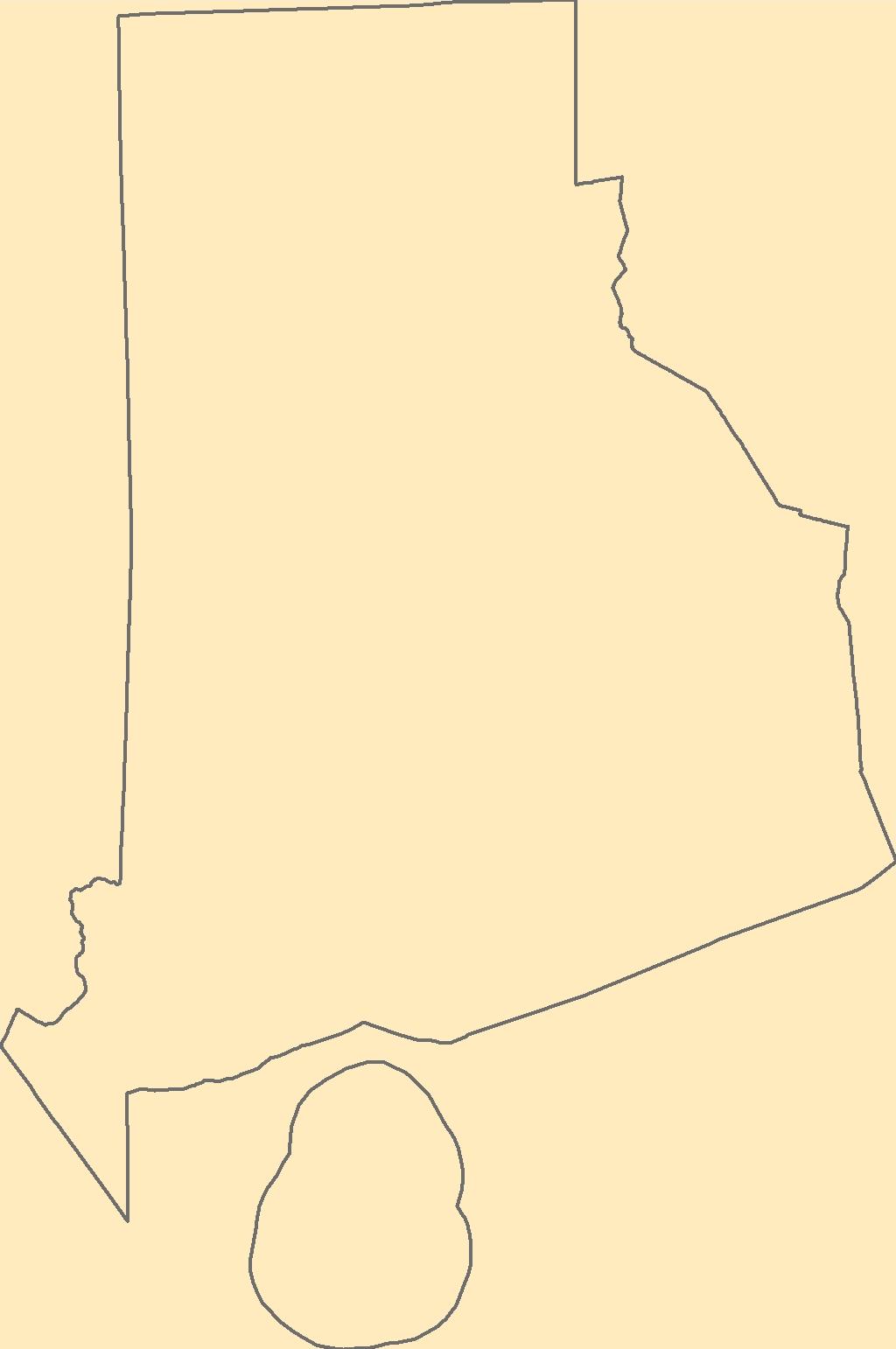
The Geographic Names Information System (GNIS) is the Federal standard for geographic nomenclature. The U.S. Geological Survey developed the GNIS for the U.S. Board on Geographic Names, a Federal inter-agency body chartered by public law to maintain uniform feature name usage throughout the Government and to promulgate standard names to the public. The GNIS is the official repository of domestic geographic names data; the official vehicle for geographic names use by all departments of the Federal Government; and the source for applying geographic names to Federal electronic and printed products of all types.
Tags: Antarctica,
Antarctica,
BGN,
Board on Geographic Names,
Borough, All tags...
Bristol,
Census Area,
Commonwealth,
County,
District,
Downloadable Data,
Feature class,
Feature coordinates,
Feature county,
Feature description,
Feature designation,
Feature history,
Feature indentification,
Feature name,
Feature state,
GNIS,
GeoPackage,
Geographic Names,
Geographic Names Full Model,
Geographic Names Information System,
Geographic feature,
Geographic name,
Geographical feature,
Geographical name,
Kent,
Municipio,
National Geographic Names Information System (GNIS),
National Geographic Names Information System (GNIS),
Newport,
Official feature name,
Open Geospatial Consortium GeoPackage 1.2,
Outlying Area,
Parish,
Place name,
Populated Place,
Providence,
RI,
Rhode Island,
State,
Territories,
Territory,
Topographic Map,
U.S. Board on Geographic Names,
U.S. Geological Survey,
US,
USA,
USBGN,
USGS,
United States,
United States,
United States,
Variant name,
Washington,
antarctic,
database,
economy,
environment,
feature,
gazetteer,
geographic,
geographic names,
geographical,
geography,
geospatial,
imageryBaseMapsEarthCover,
inlandWaters,
location,
map,
name,
place,
placename,
society,
structure,
topographic map,
toponymy, Fewer tags

The Geographic Names Information System (GNIS) is the Federal standard for geographic nomenclature. The U.S. Geological Survey developed the GNIS for the U.S. Board on Geographic Names, a Federal inter-agency body chartered by public law to maintain uniform feature name usage throughout the Government and to promulgate standard names to the public. The GNIS is the official repository of domestic geographic names data; the official vehicle for geographic names use by all departments of the Federal Government; and the source for applying geographic names to Federal electronic and printed products of all types.
Tags: Adair,
Andrew,
Antarctica,
Antarctica,
Atchison, All tags...
Audrain,
BGN,
Barry,
Barton,
Bates,
Benton,
Board on Geographic Names,
Bollinger,
Boone,
Borough,
Buchanan,
Butler,
Caldwell,
Callaway,
Camden,
Cape Girardeau,
Carroll,
Carter,
Cass,
Cedar,
Census Area,
Chariton,
Christian,
Clark,
Clay,
Clinton,
Cole,
Commonwealth,
Cooper,
County,
Crawford,
Dade,
Dallas,
Daviess,
DeKalb,
Dent,
District,
Douglas,
Downloadable Data,
Dunklin,
Esri File GeoDatabase 10,
Feature class,
Feature coordinates,
Feature county,
Feature description,
Feature designation,
Feature history,
Feature indentification,
Feature name,
Feature state,
FileGDB,
Franklin,
GNIS,
Gasconade,
Gentry,
Geographic Names,
Geographic Names Full Model,
Geographic Names Information System,
Geographic feature,
Geographic name,
Geographical feature,
Geographical name,
Greene,
Grundy,
Harrison,
Henry,
Hickory,
Holt,
Howard,
Howell,
Iron,
Jackson,
Jasper,
Jefferson,
Johnson,
Knox,
Laclede,
Lafayette,
Lawrence,
Lewis,
Lincoln,
Linn,
Livingston,
MO,
Macon,
Madison,
Maries,
Marion,
McDonald,
Mercer,
Miller,
Mississippi,
Missouri,
Moniteau,
Monroe,
Montgomery,
Morgan,
Municipio,
National Geographic Names Information System (GNIS),
National Geographic Names Information System (GNIS),
New Madrid,
Newton,
Nodaway,
Official feature name,
Oregon,
Osage,
Outlying Area,
Ozark,
Parish,
Pemiscot,
Perry,
Pettis,
Phelps,
Pike,
Place name,
Platte,
Polk,
Populated Place,
Pulaski,
Putnam,
Ralls,
Randolph,
Ray,
Reynolds,
Ripley,
Saline,
Schuyler,
Scotland,
Scott,
Shannon,
Shelby,
St. Charles,
St. Clair,
St. Francois,
St. Louis,
State,
Ste. Genevieve,
Stoddard,
Stone,
Sullivan,
Taney,
Territories,
Territory,
Texas,
Topographic Map,
U.S. Board on Geographic Names,
U.S. Geological Survey,
US,
USA,
USBGN,
USGS,
United States,
United States,
United States,
Variant name,
Vernon,
Warren,
Washington,
Wayne,
Webster,
Worth,
Wright,
antarctic,
database,
economy,
environment,
feature,
gazetteer,
geographic,
geographic names,
geographical,
geography,
geospatial,
imageryBaseMapsEarthCover,
inlandWaters,
location,
map,
name,
place,
placename,
society,
structure,
topographic map,
toponymy, Fewer tags
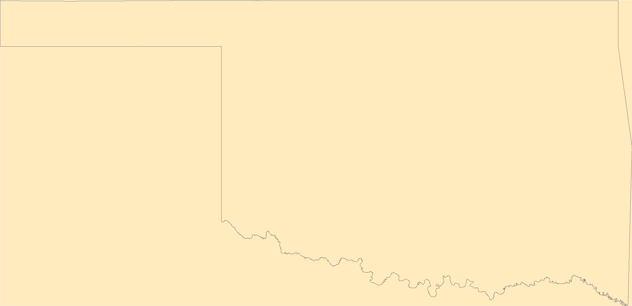
The Geographic Names Information System (GNIS) is the Federal standard for geographic nomenclature. The U.S. Geological Survey developed the GNIS for the U.S. Board on Geographic Names, a Federal inter-agency body chartered by public law to maintain uniform feature name usage throughout the Government and to promulgate standard names to the public. The GNIS is the official repository of domestic geographic names data; the official vehicle for geographic names use by all departments of the Federal Government; and the source for applying geographic names to Federal electronic and printed products of all types.
Tags: Adair,
Alfalfa,
Antarctica,
Antarctica,
Atoka, All tags...
BGN,
Beaver,
Beckham,
Blaine,
Board on Geographic Names,
Borough,
Bryan,
Caddo,
Canadian,
Carter,
Census Area,
Cherokee,
Choctaw,
Cimarron,
Cleveland,
Coal,
Comanche,
Commonwealth,
Cotton,
County,
Craig,
Creek,
Custer,
Delaware,
Dewey,
District,
Downloadable Data,
Ellis,
Esri File GeoDatabase 10,
Feature class,
Feature coordinates,
Feature county,
Feature description,
Feature designation,
Feature history,
Feature indentification,
Feature name,
Feature state,
FileGDB,
GNIS,
Garfield,
Garvin,
Geographic Names,
Geographic Names Full Model,
Geographic Names Information System,
Geographic feature,
Geographic name,
Geographical feature,
Geographical name,
Grady,
Grant,
Greer,
Harmon,
Harper,
Haskell,
Hughes,
Jackson,
Jefferson,
Johnston,
Kay,
Kingfisher,
Kiowa,
Latimer,
Le Flore,
Lincoln,
Logan,
Love,
Major,
Marshall,
Mayes,
McClain,
McCurtain,
McIntosh,
Municipio,
Murray,
Muskogee,
National Geographic Names Information System (GNIS),
National Geographic Names Information System (GNIS),
Noble,
Nowata,
OK,
Official feature name,
Okfuskee,
Oklahoma,
Oklahoma,
Okmulgee,
Osage,
Ottawa,
Outlying Area,
Parish,
Pawnee,
Payne,
Pittsburg,
Place name,
Pontotoc,
Populated Place,
Pottawatomie,
Pushmataha,
Roger Mills,
Rogers,
Seminole,
Sequoyah,
State,
Stephens,
Territories,
Territory,
Texas,
Tillman,
Topographic Map,
Tulsa,
U.S. Board on Geographic Names,
U.S. Geological Survey,
US,
USA,
USBGN,
USGS,
United States,
United States,
United States,
Variant name,
Wagoner,
Washington,
Washita,
Woods,
Woodward,
antarctic,
database,
economy,
environment,
feature,
gazetteer,
geographic,
geographic names,
geographical,
geography,
geospatial,
imageryBaseMapsEarthCover,
inlandWaters,
location,
map,
name,
place,
placename,
society,
structure,
topographic map,
toponymy, Fewer tags

The Geographic Names Information System (GNIS) is the Federal standard for geographic nomenclature. The U.S. Geological Survey developed the GNIS for the U.S. Board on Geographic Names, a Federal inter-agency body chartered by public law to maintain uniform feature name usage throughout the Government and to promulgate standard names to the public. The GNIS is the official repository of domestic geographic names data; the official vehicle for geographic names use by all departments of the Federal Government; and the source for applying geographic names to Federal electronic and printed products of all types.
Tags: AS,
American Samoa,
Antarctica,
Antarctica,
BGN, All tags...
Board on Geographic Names,
Borough,
Census Area,
Commonwealth,
County,
District,
Downloadable Data,
Eastern,
Esri File GeoDatabase 10,
Feature class,
Feature coordinates,
Feature county,
Feature description,
Feature designation,
Feature history,
Feature indentification,
Feature name,
Feature state,
FileGDB,
GNIS,
Geographic Names,
Geographic Names Full Model,
Geographic Names Information System,
Geographic feature,
Geographic name,
Geographical feature,
Geographical name,
Manu'a,
Municipio,
National Geographic Names Information System (GNIS),
National Geographic Names Information System (GNIS),
Official feature name,
Outlying Area,
Parish,
Place name,
Populated Place,
Rose Island,
State,
Swains Island,
Territories,
Territory,
Topographic Map,
U.S. Board on Geographic Names,
U.S. Geological Survey,
US,
USA,
USBGN,
USGS,
United States,
United States,
United States,
Variant name,
Western,
antarctic,
database,
economy,
environment,
feature,
gazetteer,
geographic,
geographic names,
geographical,
geography,
geospatial,
imageryBaseMapsEarthCover,
inlandWaters,
location,
map,
name,
place,
placename,
society,
structure,
topographic map,
toponymy, Fewer tags

The Geographic Names Information System (GNIS) is the Federal standard for geographic nomenclature. The U.S. Geological Survey developed the GNIS for the U.S. Board on Geographic Names, a Federal inter-agency body chartered by public law to maintain uniform feature name usage throughout the Government and to promulgate standard names to the public. The GNIS is the official repository of domestic geographic names data; the official vehicle for geographic names use by all departments of the Federal Government; and the source for applying geographic names to Federal electronic and printed products of all types.
Tags: Antarctica,
Antarctica,
BGN,
Bernalillo,
Board on Geographic Names, All tags...
Borough,
Catron,
Census Area,
Chaves,
Cibola,
Colfax,
Commonwealth,
County,
Curry,
De Baca,
District,
Downloadable Data,
Doña Ana,
Eddy,
Esri File GeoDatabase 10,
Feature class,
Feature coordinates,
Feature county,
Feature description,
Feature designation,
Feature history,
Feature indentification,
Feature name,
Feature state,
FileGDB,
GNIS,
Geographic Names,
Geographic Names Full Model,
Geographic Names Information System,
Geographic feature,
Geographic name,
Geographical feature,
Geographical name,
Grant,
Guadalupe,
Harding,
Hidalgo,
Lea,
Lincoln,
Los Alamos,
Luna,
McKinley,
Mora,
Municipio,
NM,
National Geographic Names Information System (GNIS),
National Geographic Names Information System (GNIS),
New Mexico,
Official feature name,
Otero,
Outlying Area,
Parish,
Place name,
Populated Place,
Quay,
Rio Arriba,
Roosevelt,
San Juan,
San Miguel,
Sandoval,
Santa Fe,
Sierra,
Socorro,
State,
Taos,
Territories,
Territory,
Topographic Map,
Torrance,
U.S. Board on Geographic Names,
U.S. Geological Survey,
US,
USA,
USBGN,
USGS,
Union,
United States,
United States,
United States,
Valencia,
Variant name,
antarctic,
database,
economy,
environment,
feature,
gazetteer,
geographic,
geographic names,
geographical,
geography,
geospatial,
imageryBaseMapsEarthCover,
inlandWaters,
location,
map,
name,
place,
placename,
society,
structure,
topographic map,
toponymy, Fewer tags
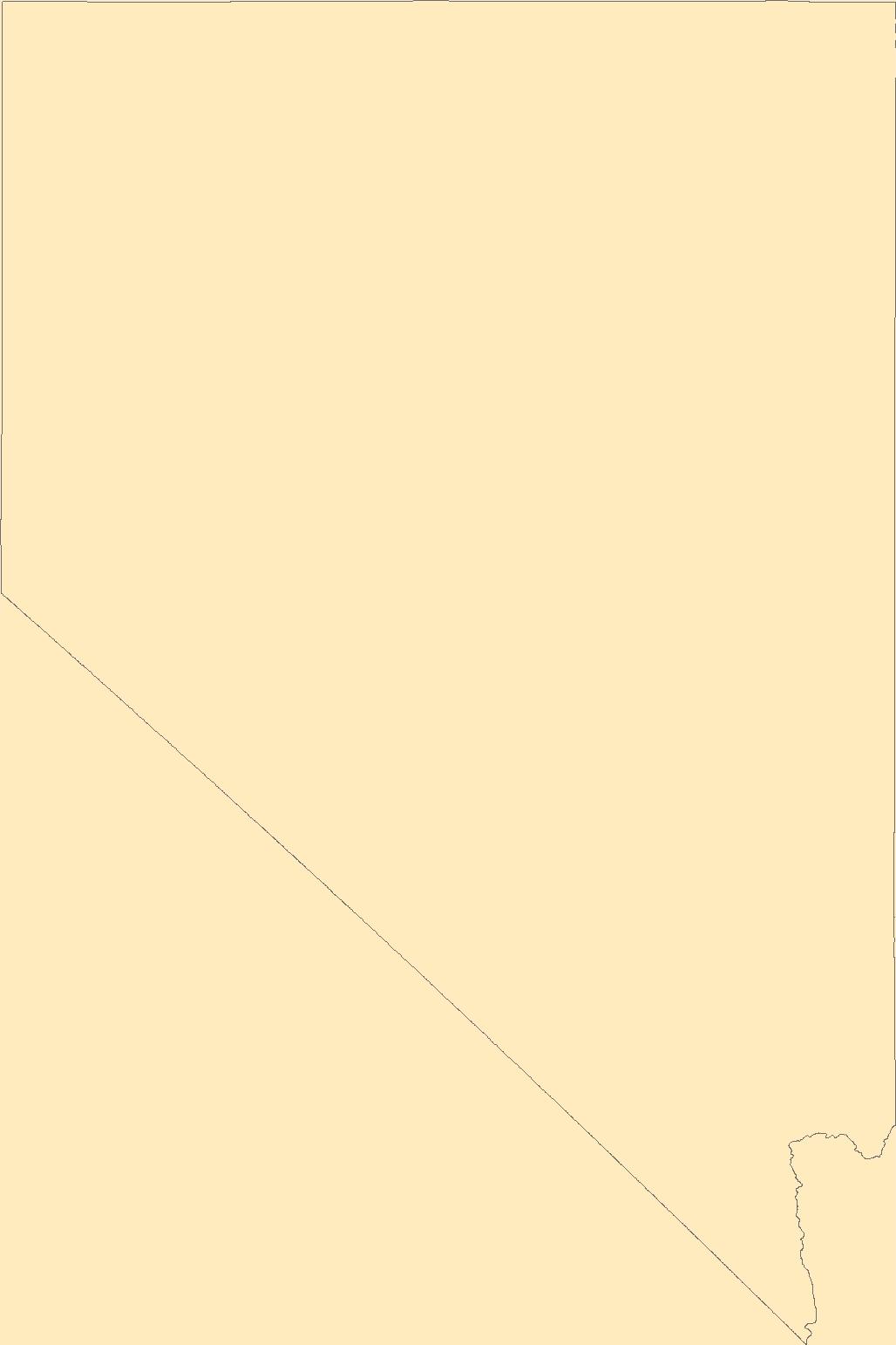
The Geographic Names Information System (GNIS) is the Federal standard for geographic nomenclature. The U.S. Geological Survey developed the GNIS for the U.S. Board on Geographic Names, a Federal inter-agency body chartered by public law to maintain uniform feature name usage throughout the Government and to promulgate standard names to the public. The GNIS is the official repository of domestic geographic names data; the official vehicle for geographic names use by all departments of the Federal Government; and the source for applying geographic names to Federal electronic and printed products of all types.
Tags: Antarctica,
Antarctica,
BGN,
Board on Geographic Names,
Borough, All tags...
Carson City,
Census Area,
Churchill,
Clark,
Commonwealth,
County,
District,
Douglas,
Downloadable Data,
Elko,
Esmeralda,
Esri File GeoDatabase 10,
Eureka,
Feature class,
Feature coordinates,
Feature county,
Feature description,
Feature designation,
Feature history,
Feature indentification,
Feature name,
Feature state,
FileGDB,
GNIS,
Geographic Names,
Geographic Names Full Model,
Geographic Names Information System,
Geographic feature,
Geographic name,
Geographical feature,
Geographical name,
Humboldt,
Lander,
Lincoln,
Lyon,
Mineral,
Municipio,
NV,
National Geographic Names Information System (GNIS),
National Geographic Names Information System (GNIS),
Nevada,
Nye,
Official feature name,
Outlying Area,
Parish,
Pershing,
Place name,
Populated Place,
State,
Storey,
Territories,
Territory,
Topographic Map,
U.S. Board on Geographic Names,
U.S. Geological Survey,
US,
USA,
USBGN,
USGS,
United States,
United States,
United States,
Variant name,
Washoe,
White Pine,
antarctic,
database,
economy,
environment,
feature,
gazetteer,
geographic,
geographic names,
geographical,
geography,
geospatial,
imageryBaseMapsEarthCover,
inlandWaters,
location,
map,
name,
place,
placename,
society,
structure,
topographic map,
toponymy, Fewer tags

ThThe purpose of the Coral Reef Evaluation and Monitoring Project (CREMP) is to monitor the status and trends of selected reefs in the Florida Keys National Marine Sanctuary(FKNMS). CREMP assessments have been conducted annually at fixed sites since 1996 and data collected provides information on the temporal changes in benthic cover and diversity of stony corals and associated marine flora and fauna. The core field methods continue to be underwater videography and timed coral species inventories. Findings presented in this report include data from 109 stations at 37 sites sampled from 1996 through 2008 in the Florida Keys and 1999 through 2008 in the Dry Tortugas. The report describes the annual differences (between...
Categories: Data;
Types: NetCDF OPeNDAP Service;
Tags: Coral Reef Evaluation and Monitoring Project (CREMP),
about,
absence,
accepted,
acceptedNameAuthorship, All tags...
acceptedNameUsage,
acceptedNameUsageID,
accepted_aphia_database_identification_number,
accepted_authorship_information,
accepted_name_usage,
aphia,
aphia_database_identification_number,
area,
array,
array-data,
associatedreferences,
associatedreferences,
authorship,
authorship_information,
basis,
basis of record,
basis of record,
basisOfRecord,
biogeographic,
biology,
class,
class,
commission,
common,
comprehensive,
conservation,
coral,
coral monitoring,
coverage,
cremp,
data,
data_set_identification,
data_set_name,
database,
dataset,
dataset,
datasetName,
date,
dry tortugas,
evaluation,
event,
eventID,
eventdate,
eventdate,
family,
family,
fish,
florida,
florida keys,
fwc,
fwc-fwri,
fwri,
genus,
genus,
geoscientificInformation,
gulf of mexico,
habitatid,
hierarchy,
identification,
identifier,
information,
institute,
keys,
kingdom,
kingdom,
large,
latitude,
longitude,
marine,
meters,
monitoring,
name,
number,
obis,
occurrence,
occurrenceID,
occurrenceStatus,
occurrence_identification,
ocean,
order,
order,
organism,
organismQuantity,
organismQuantityType,
organism_per_sample_area,
per,
percent,
percent_coverage,
phylum,
phylum,
presence,
project,
rank,
record,
recorded,
recordedBy,
reef,
register,
research,
revisited,
sample,
samples,
scientific,
scientificNameAuthorship,
scientific_name,
scientificname,
scientificnameid,
service,
set,
sitecode,
siteid,
species,
species_name,
specificEpithet,
square,
statement,
station,
status,
stewardship,
subregionid,
system,
taxon,
taxonRank,
taxon_rank,
taxon_status,
taxonomic,
taxonomicStatus,
taxonomic_status,
taxonomy,
time,
unaccepted,
usage,
v2.3,
value,
vernacular,
vernacularName,
vernacular_name,
wildlife,
world,
worms,
year, Fewer tags

The purpose of the Coral Reef Evaluation and Monitoring Project (CREMP) is to monitor the status and trends of selected reefs in the Florida Keys National Marine Sanctuary(FKNMS). CREMP assessments have been conducted annually at fixed sites since 1996 and data collected provides information on the temporal changes in benthic cover and diversity of stony corals and associated marine flora and fauna. The core field methods continue to be underwater videography and timed coral species inventories. Findings presented in this report include data from 109 stations at 37 sites sampled from 1996 through 2008 in the Florida Keys and 1999 through 2008 in the Dry Tortugas. The report describes the annual differences (between...
Categories: Data;
Types: NetCDF OPeNDAP Service;
Tags: Florida Keys Coral Reef Monitoring Project1998,
absence,
aphia,
area,
array, All tags...
array-data,
authorship,
basis,
basisOfRecord,
biology,
body,
bottom,
bottomType,
calculated,
celsius,
class,
code,
common,
comprehensive,
coral,
coral monitoring,
country,
cover,
coverage,
data,
data_set_ID,
database,
dataset,
datasetID,
date,
datum,
dep,
depth,
dry,
dry tortugas,
dynamic,
dynamicProperties,
ecological,
event,
eventDate,
eventDateRemarks,
eventDateTimeZone,
eventdate,
eventdateremarks,
eventdatetimezone,
family,
first,
firstYear,
first_year_of_observation,
fish,
florida,
florida keys,
fwri,
genus,
geodetic,
geodeticDatum,
geoscientificInformation,
gulf of mexico,
habitat,
hierarchy,
higher,
higherInstitutionCode,
identification,
information,
institude,
institution,
institutionCode,
itis,
keys,
kingdom,
large,
lastYear,
lastt,
lastt_year_of_observation,
latitude,
locality,
longitude,
max,
max_depth,
maximum,
maximumDepthInMeters,
meters,
method,
min,
min_depth,
minimum,
minimumDepthInMeters,
monitoring,
name,
north,
not,
notsampled,
number,
observation,
observed,
occurence,
order,
owner,
ownerInstitutionCode,
park,
phylum,
presence,
project,
properties,
protected,
protection,
province,
quantification,
quantificationMethod,
quantificationName,
quantificationStatus,
quantificationValue,
rank,
record,
recorded,
recordedBy,
reef,
remarks,
research,
reserve,
sample,
sampleAreaInSquareMeters,
samples,
sampling,
scientific,
scientificNameAuthorship,
scientificNameIDITIS,
scientificNameIDWoRMS,
scientificname,
sea,
seawater,
serial,
service,
set,
spatial,
species,
specificEpithet,
square,
state,
stateProvince,
station,
status,
stewardship,
strata,
system,
taxon,
taxonRank,
taxonomic,
temperature,
time,
tner,
tortuga,
transect,
type,
vernacularName,
vertical,
verticalDatum,
verticaldatum,
video,
water,
waterBody,
waterTemperatureInCelsius,
wildlife,
worms,
year,
zone, Fewer tags

Currently, there are many datasets describing landslides caused by individual earthquakes, and global inventories of earthquake-induced landslides (EQIL). However, until recently, there were no datasets that provide a comprehensive description of the impacts of earthquake-induced landslide events. In this data release, we present an up-to-date, comprehensive global database containing all literature-documented earthquake-induced landslide events for the 249-year period from 1772 through August 2021. The database represents an update of the catalog developed by Seal et al. (2020), which summarized events through March 2020 and was based on the catalog developed by Nowicki Jessee et al. (2020). The revised catalog...
Categories: Data,
Data Release - Revised;
Tags: Database,
Disaster Impact,
Earthquake,
Earthquake Hazards,
Earthquake-induced landslide, All tags...
Fatality,
GHSC,
Landslide,
Landslide Hazards,
Natural Disaster,
USGS,
USGS Science Data Catalog (SDC),
geoscientificInformation, Fewer tags

Inland fishes provide important ecosystem services to communities worldwide and are especially vulnerable to the impacts of climate change. Fish respond to climate change in diverse and nuanced ways which creates challenges for practitioners of fish conservation, climate change adaptation, and management. Although climate change is known to affect fish globally, a comprehensive online, public database of how climate change has impacted inland fishes worldwide and adaptation or management practices that may address these impacts does not exist. We conducted an extensive, systematic primary literature review to identify peer-reviewed journal publications describing projected and documented examples of climate change...
Categories: Data;
Tags: Africa,
Americas,
Asia,
Europe,
Middle East, All tags...
Oceania,
USGS Science Data Catalog (SDC),
USGS:63eff8edd34efa0476b039b7,
climate adaptation,
climate change,
climate change,
database,
fish,
fisheries management,
inland,
inland fishery resources,
utilitiesCommunication, Fewer tags
The Department of Natural Resources Library is administered by the Utah Geological Survey and has over 16,000 volumes and resources including topographic and geologic maps, video tapes, professional journals, professional society publications, well logs, theses and dissertations, CD-Roms, and references about Utah's natural resources.

The purpose of the Coral Reef Evaluation and Monitoring Project (CREMP) is to monitor the status and trends of selected reefs in the Florida Keys National Marine Sanctuary(FKNMS). CREMP assessments have been conducted annually at fixed sites since 1996 and data collected provides information on the temporal changes in benthic cover and diversity of stony corals and associated marine flora and fauna. The core field methods continue to be underwater videography and timed coral species inventories. Findings presented in this report include data from 109 stations at 37 sites sampled from 1996 through 2008 in the Florida Keys and 1999 through 2008 in the Dry Tortugas. The report describes the annual differences (between...
Categories: Data;
Types: NetCDF OPeNDAP Service;
Tags: Coral Reef Evaluation and Monitoring Project (CREMP),
about,
absence,
accepted,
acceptedNameAuthorship, All tags...
acceptedNameUsage,
acceptedNameUsageID,
accepted_aphia_database_identification_number,
accepted_authorship_information,
accepted_name_usage,
aphia,
aphia_database_identification_number,
area,
array,
array-data,
associatedreferences,
associatedreferences,
authorship,
authorship_information,
basis,
basis of record,
basis of record,
basisOfRecord,
biogeographic,
biology,
class,
class,
commission,
common,
comprehensive,
conservation,
coral,
coral monitoring,
coverage,
cremp,
data,
data_set_identification,
data_set_name,
database,
dataset,
dataset,
datasetName,
date,
dry,
dry tortugas,
evaluation,
event,
eventID,
eventdate,
eventdate,
family,
family,
fish,
florida,
florida keys,
fwc,
fwc-fwri,
fwri,
genus,
genus,
geoscientificInformation,
gulf of mexico,
habitatid,
hierarchy,
identification,
identifier,
information,
institute,
kingdom,
kingdom,
large,
latitude,
longitude,
marine,
meters,
monitoring,
name,
number,
obis,
occurrence,
occurrenceID,
occurrenceStatus,
occurrence_identification,
ocean,
order,
order,
organism,
organismQuantity,
organismQuantityType,
organism_per_sample_area,
per,
percent,
percent_coverage,
phylum,
phylum,
presence,
project,
rank,
record,
recorded,
recordedBy,
reef,
register,
research,
revisited,
sample,
samples,
scientific,
scientificNameAuthorship,
scientific_name,
scientificname,
scientificnameid,
service,
set,
sitecode,
siteid,
species,
species_name,
specificEpithet,
square,
statement,
station,
status,
stewardship,
subregionid,
system,
taxon,
taxonRank,
taxon_rank,
taxon_status,
taxonomic,
taxonomicStatus,
taxonomic_status,
taxonomy,
time,
tortugas,
unaccepted,
usage,
v2.3,
value,
vernacular,
vernacularName,
vernacular_name,
wildlife,
world,
worms,
year, Fewer tags

The purpose of the Coral Reef Evaluation and Monitoring Project (CREMP) is to monitor the status and trends of selected reefs in the Florida Keys National Marine Sanctuary(FKNMS). CREMP assessments have been conducted annually at fixed sites since 1996 and data collected provides information on the temporal changes in benthic cover and diversity of stony corals and associated marine flora and fauna. The core field methods continue to be underwater videography and timed coral species inventories. Findings presented in this report include data from 109 stations at 37 sites sampled from 1996 through 2008 in the Florida Keys and 1999 through 2008 in the Dry Tortugas. The report describes the annual differences (between...
Categories: Data;
Tags: Florida Keys Coral Reef Monitoring Project2002,
absence,
aphia,
area,
array, All tags...
array-data,
authorship,
basis,
basisOfRecord,
biology,
body,
bottom,
bottomType,
calculated,
celsius,
class,
code,
common,
comprehensive,
coral,
coral monitoring,
country,
cover,
coverage,
data,
data_set_ID,
database,
dataset,
datasetID,
date,
datum,
dep,
depth,
dry,
dry tortugas,
dynamic,
dynamicProperties,
ecological,
event,
eventDate,
eventDateRemarks,
eventDateTimeZone,
eventdate,
eventdateremarks,
eventdatetimezone,
family,
first,
firstYear,
first_year_of_observation,
fish,
florida,
florida keys,
fwri,
genus,
geodetic,
geodeticDatum,
geoscientificInformation,
gulf of mexico,
habitat,
hierarchy,
higher,
higherInstitutionCode,
identification,
information,
institude,
institution,
institutionCode,
itis,
keys,
kingdom,
large,
lastYear,
lastt,
lastt_year_of_observation,
latitude,
locality,
longitude,
max,
max_depth,
maximum,
maximumDepthInMeters,
meters,
method,
min,
min_depth,
minimum,
minimumDepthInMeters,
monitoring,
name,
north,
not,
notsampled,
number,
observation,
observed,
occurence,
order,
owner,
ownerInstitutionCode,
park,
phylum,
presence,
project,
properties,
protected,
protection,
province,
quantification,
quantificationMethod,
quantificationName,
quantificationStatus,
quantificationValue,
rank,
record,
recorded,
recordedBy,
reef,
remarks,
research,
reserve,
sample,
sampleAreaInSquareMeters,
samples,
sampling,
scientific,
scientificNameAuthorship,
scientificNameIDITIS,
scientificNameIDWoRMS,
scientificname,
sea,
seawater,
serial,
service,
set,
spatial,
species,
specificEpithet,
square,
state,
stateProvince,
station,
status,
stewardship,
strata,
system,
taxon,
taxonRank,
taxonomic,
temperature,
time,
tner,
tortuga,
transect,
type,
vernacularName,
vertical,
verticalDatum,
verticaldatum,
video,
water,
waterBody,
waterTemperatureInCelsius,
wildlife,
worms,
year,
zone, Fewer tags

The purpose of the Coral Reef Evaluation and Monitoring Project (CREMP) is to monitor the status and trends of selected reefs in the Florida Keys National Marine Sanctuary(FKNMS). CREMP assessments have been conducted annually at fixed sites since 1996 and data collected provides information on the temporal changes in benthic cover and diversity of stony corals and associated marine flora and fauna. The core field methods continue to be underwater videography and timed coral species inventories. Findings presented in this report include data from 109 stations at 37 sites sampled from 1996 through 2008 in the Florida Keys and 1999 through 2008 in the Dry Tortugas. The report describes the annual differences (between...
Categories: Data;
Types: NetCDF OPeNDAP Service;
Tags: Coral Reef Evaluation and Monitoring Project Florida Keys 2017,
about,
absence,
accepted,
acceptedNameAuthorship, All tags...
acceptedNameUsage,
acceptedNameUsageID,
accepted_aphia_database_identification_number,
accepted_authorship_information,
accepted_name_usage,
aphia,
aphia_database_identification_number,
area,
array,
array-data,
authorship,
authorship_information,
basis,
basis of record,
basis of record,
basisOfRecord,
biogeographic,
biology,
class,
class,
commission,
common,
comprehensive,
conservation,
coral,
coral monitoring,
coverage,
cremp,
data,
data_set_identification,
database,
dataset,
date,
dry tortugas,
evaluation,
event,
eventID,
eventdate,
eventdate,
family,
family,
fish,
florida,
florida keys,
fwc,
fwc-fwri,
fwri,
genus,
genus,
geoscientificInformation,
gulf of mexico,
habitatid,
hierarchy,
identification,
identifier,
information,
institute,
keys,
kingdom,
kingdom,
large,
latitude,
longitude,
marine,
meters,
monitoring,
name,
number,
obis,
occurrence,
occurrenceID,
occurrenceStatus,
occurrence_identification,
ocean,
order,
order,
organism,
organismQuantity,
organismQuantityType,
organism_per_sample_area,
per,
percent,
percent_coverage,
phylum,
phylum,
presence,
project,
rank,
record,
recorded,
recordedBy,
reef,
register,
research,
revisited,
sample,
samples,
scientific,
scientificNameAuthorship,
scientific_name,
scientificname,
scientificnameid,
service,
set,
sitecode,
siteid,
species,
species_name,
specificEpithet,
square,
statement,
station,
status,
stewardship,
subregionid,
system,
taxon,
taxonRank,
taxon_rank,
taxon_status,
taxonomic,
taxonomicStatus,
taxonomy,
time,
unaccepted,
usage,
v2.3,
value,
vernacular,
vernacularName,
vernacular_name,
wildlife,
world,
worms,
year, Fewer tags

The purpose of the Coral Reef Evaluation and Monitoring Project (CREMP) is to monitor the status and trends of selected reefs in the Florida Keys National Marine Sanctuary(FKNMS). CREMP assessments have been conducted annually at fixed sites since 1996 and data collected provides information on the temporal changes in benthic cover and diversity of stony corals and associated marine flora and fauna. The core field methods continue to be underwater videography and timed coral species inventories. Findings presented in this report include data from 109 stations at 37 sites sampled from 1996 through 2008 in the Florida Keys and 1999 through 2008 in the Dry Tortugas. The report describes the annual differences (between...
Categories: Data;
Types: NetCDF OPeNDAP Service;
Tags: Coral Reef Evaluation and Monitoring Project Florida Keys 1999,
about,
absence,
accepted,
acceptedNameAuthorship, All tags...
acceptedNameUsage,
acceptedNameUsageID,
accepted_aphia_database_identification_number,
accepted_authorship_information,
accepted_name_usage,
aphia,
aphia_database_identification_number,
area,
array,
array-data,
authorship,
authorship_information,
basis,
basis of record,
basis of record,
basisOfRecord,
biogeographic,
biology,
class,
class,
commission,
common,
comprehensive,
conservation,
coral,
coral monitoring,
coverage,
cremp,
data,
data_set_identification,
database,
dataset,
date,
dry tortugas,
evaluation,
event,
eventID,
eventdate,
eventdate,
family,
family,
fish,
florida,
florida keys,
fwc,
fwc-fwri,
fwri,
genus,
genus,
geoscientificInformation,
gulf of mexico,
habitatid,
hierarchy,
identification,
identifier,
information,
institute,
keys,
kingdom,
kingdom,
large,
latitude,
longitude,
marine,
meters,
monitoring,
name,
number,
obis,
occurrence,
occurrenceID,
occurrenceStatus,
occurrence_identification,
ocean,
order,
order,
organism,
organismQuantity,
organismQuantityType,
organism_per_sample_area,
per,
percent,
percent_coverage,
phylum,
phylum,
presence,
project,
rank,
record,
recorded,
recordedBy,
reef,
register,
research,
revisited,
sample,
samples,
scientific,
scientificNameAuthorship,
scientific_name,
scientificname,
scientificnameid,
service,
set,
sitecode,
siteid,
species,
species_name,
specificEpithet,
square,
statement,
station,
status,
stewardship,
subregionid,
system,
taxon,
taxonRank,
taxon_rank,
taxon_status,
taxonomic,
taxonomicStatus,
taxonomy,
time,
unaccepted,
usage,
v2.3,
value,
vernacular,
vernacularName,
vernacular_name,
wildlife,
world,
worms,
year, Fewer tags

The purpose of the Coral Reef Evaluation and Monitoring Project (CREMP) is to monitor the status and trends of selected reefs in the Florida Keys National Marine Sanctuary(FKNMS). CREMP assessments have been conducted annually at fixed sites since 1996 and data collected provides information on the temporal changes in benthic cover and diversity of stony corals and associated marine flora and fauna. The core field methods continue to be underwater videography and timed coral species inventories. Findings presented in this report include data from 109 stations at 37 sites sampled from 1996 through 2008 in the Florida Keys and 1999 through 2008 in the Dry Tortugas. The report describes the annual differences (between...
Categories: Data;
Types: NetCDF OPeNDAP Service;
Tags: Coral Reef Evaluation and Monitoring Project (CREMP),
about,
absence,
accepted,
acceptedNameAuthorship, All tags...
acceptedNameUsage,
acceptedNameUsageID,
accepted_aphia_database_identification_number,
accepted_authorship_information,
accepted_name_usage,
aphia,
aphia_database_identification_number,
area,
array,
array-data,
associatedreferences,
associatedreferences,
authorship,
authorship_information,
basis,
basis of record,
basis of record,
basisOfRecord,
biogeographic,
biology,
class,
class,
commission,
common,
comprehensive,
conservation,
coral,
coral monitoring,
coverage,
cremp,
data,
data_set_identification,
data_set_name,
database,
dataset,
dataset,
datasetName,
date,
dry tortugas,
evaluation,
event,
eventID,
eventdate,
eventdate,
family,
family,
fish,
florida,
florida keys,
fwc,
fwc-fwri,
fwri,
genus,
genus,
geoscientificInformation,
gulf of mexico,
habitatid,
hierarchy,
identification,
identifier,
information,
institute,
keys,
kingdom,
kingdom,
large,
latitude,
longitude,
marine,
meters,
monitoring,
name,
number,
obis,
occurrence,
occurrenceID,
occurrenceStatus,
occurrence_identification,
ocean,
order,
order,
organism,
organismQuantity,
organismQuantityType,
organism_per_sample_area,
per,
percent,
percent_coverage,
phylum,
phylum,
presence,
project,
rank,
record,
recorded,
recordedBy,
reef,
register,
research,
revisited,
sample,
samples,
scientific,
scientificNameAuthorship,
scientific_name,
scientificname,
scientificnameid,
service,
set,
sitecode,
siteid,
species,
species_name,
specificEpithet,
square,
statement,
station,
status,
stewardship,
subregionid,
system,
taxon,
taxonRank,
taxon_rank,
taxon_status,
taxonomic,
taxonomicStatus,
taxonomic_status,
taxonomy,
time,
unaccepted,
usage,
v2.3,
value,
vernacular,
vernacularName,
vernacular_name,
wildlife,
world,
worms,
year, Fewer tags
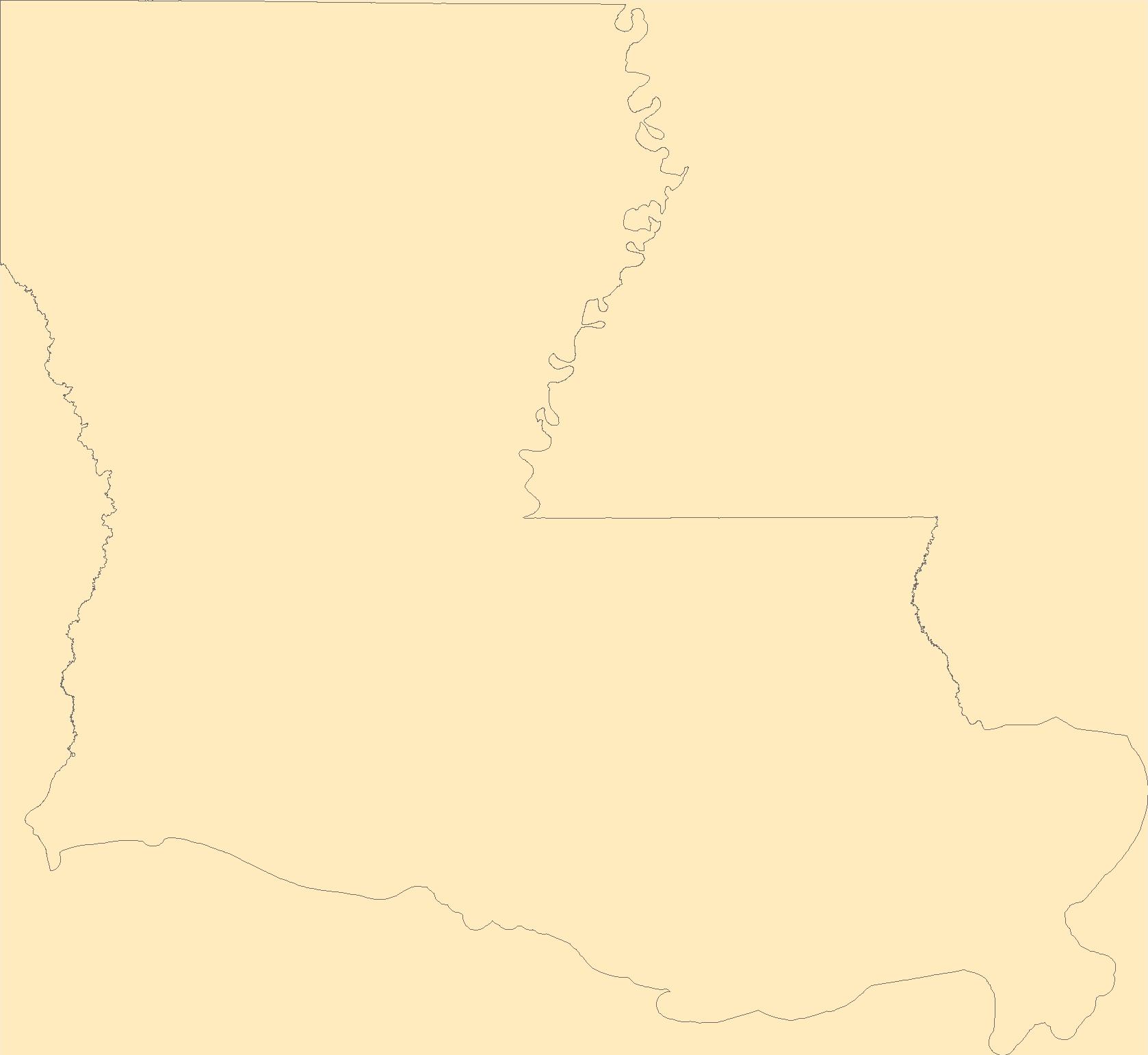
The Geographic Names Information System (GNIS) is the Federal standard for geographic nomenclature. The U.S. Geological Survey developed the GNIS for the U.S. Board on Geographic Names, a Federal inter-agency body chartered by public law to maintain uniform feature name usage throughout the Government and to promulgate standard names to the public. The GNIS is the official repository of domestic geographic names data; the official vehicle for geographic names use by all departments of the Federal Government; and the source for applying geographic names to Federal electronic and printed products of all types.
Tags: Acadia,
Allen,
Antarctica,
Antarctica,
Ascension, All tags...
Assumption,
Avoyelles,
BGN,
Beauregard,
Bienville,
Board on Geographic Names,
Borough,
Bossier,
Caddo,
Calcasieu,
Caldwell,
Cameron,
Catahoula,
Census Area,
Claiborne,
Commonwealth,
Concordia,
County,
De Soto,
District,
Downloadable Data,
East Baton Rouge,
East Carroll,
East Feliciana,
Evangeline,
Feature class,
Feature coordinates,
Feature county,
Feature description,
Feature designation,
Feature history,
Feature indentification,
Feature name,
Feature state,
Franklin,
GNIS,
GeoPackage,
Geographic Names,
Geographic Names Full Model,
Geographic Names Information System,
Geographic feature,
Geographic name,
Geographical feature,
Geographical name,
Grant,
Iberia,
Iberville,
Jackson,
Jefferson,
Jefferson Davis,
LA,
LaSalle,
Lafayette,
Lafourche,
Lincoln,
Livingston,
Louisiana,
Madison,
Morehouse,
Municipio,
Natchitoches,
National Geographic Names Information System (GNIS),
National Geographic Names Information System (GNIS),
Official feature name,
Open Geospatial Consortium GeoPackage 1.2,
Orleans,
Ouachita,
Outlying Area,
Parish,
Place name,
Plaquemines,
Pointe Coupee,
Populated Place,
Rapides,
Red River,
Richland,
Sabine,
St. Bernard,
St. Charles,
St. Helena,
St. James,
St. John the Baptist,
St. Landry,
St. Martin,
St. Mary,
St. Tammany,
State,
Tangipahoa,
Tensas,
Terrebonne,
Territories,
Territory,
Topographic Map,
U.S. Board on Geographic Names,
U.S. Geological Survey,
US,
USA,
USBGN,
USGS,
Union,
United States,
United States,
United States,
Variant name,
Vermilion,
Vernon,
Washington,
Webster,
West Baton Rouge,
West Carroll,
West Feliciana,
Winn,
antarctic,
database,
economy,
environment,
feature,
gazetteer,
geographic,
geographic names,
geographical,
geography,
geospatial,
imageryBaseMapsEarthCover,
inlandWaters,
location,
map,
name,
place,
placename,
society,
structure,
topographic map,
toponymy, Fewer tags
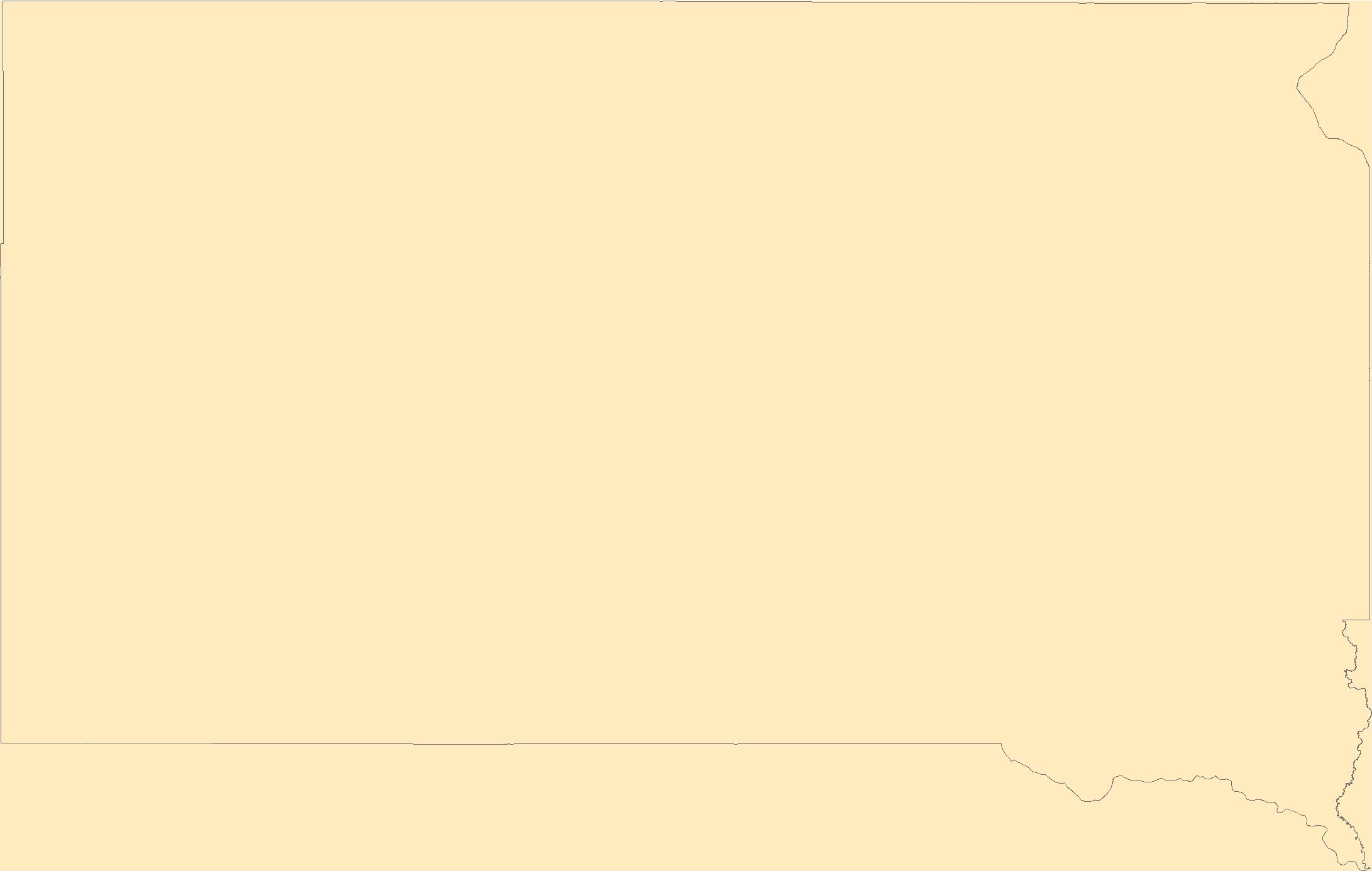
The Geographic Names Information System (GNIS) is the Federal standard for geographic nomenclature. The U.S. Geological Survey developed the GNIS for the U.S. Board on Geographic Names, a Federal inter-agency body chartered by public law to maintain uniform feature name usage throughout the Government and to promulgate standard names to the public. The GNIS is the official repository of domestic geographic names data; the official vehicle for geographic names use by all departments of the Federal Government; and the source for applying geographic names to Federal electronic and printed products of all types.
Tags: Antarctica,
Antarctica,
Aurora,
BGN,
Beadle, All tags...
Bennett,
Board on Geographic Names,
Bon Homme,
Borough,
Brookings,
Brown,
Brule,
Buffalo,
Butte,
Campbell,
Census Area,
Charles Mix,
Clark,
Clay,
Codington,
Commonwealth,
Corson,
County,
Custer,
Davison,
Day,
Deuel,
Dewey,
District,
Douglas,
Downloadable Data,
Edmunds,
Fall River,
Faulk,
Feature class,
Feature coordinates,
Feature county,
Feature description,
Feature designation,
Feature history,
Feature indentification,
Feature name,
Feature state,
GNIS,
GeoPackage,
Geographic Names,
Geographic Names Full Model,
Geographic Names Information System,
Geographic feature,
Geographic name,
Geographical feature,
Geographical name,
Grant,
Gregory,
Haakon,
Hamlin,
Hand,
Hanson,
Harding,
Hughes,
Hutchinson,
Hyde,
Jackson,
Jerauld,
Jones,
Kingsbury,
Lake,
Lawrence,
Lincoln,
Lyman,
Marshall,
McCook,
McPherson,
Meade,
Mellette,
Miner,
Minnehaha,
Moody,
Municipio,
National Geographic Names Information System (GNIS),
National Geographic Names Information System (GNIS),
Official feature name,
Oglala Lakota,
Open Geospatial Consortium GeoPackage 1.2,
Outlying Area,
Parish,
Pennington,
Perkins,
Place name,
Populated Place,
Potter,
Roberts,
SD,
Sanborn,
South Dakota,
Spink,
Stanley,
State,
Sully,
Territories,
Territory,
Todd,
Topographic Map,
Tripp,
Turner,
U.S. Board on Geographic Names,
U.S. Geological Survey,
US,
USA,
USBGN,
USGS,
Union,
United States,
United States,
United States,
Variant name,
Walworth,
Yankton,
Ziebach,
antarctic,
database,
economy,
environment,
feature,
gazetteer,
geographic,
geographic names,
geographical,
geography,
geospatial,
imageryBaseMapsEarthCover,
inlandWaters,
location,
map,
name,
place,
placename,
society,
structure,
topographic map,
toponymy, Fewer tags

The Geographic Names Information System (GNIS) is the Federal standard for geographic nomenclature. The U.S. Geological Survey developed the GNIS for the U.S. Board on Geographic Names, a Federal inter-agency body chartered by public law to maintain uniform feature name usage throughout the Government and to promulgate standard names to the public. The GNIS is the official repository of domestic geographic names data; the official vehicle for geographic names use by all departments of the Federal Government; and the source for applying geographic names to Federal electronic and printed products of all types.
Tags: Adams,
Alamosa,
Antarctica,
Antarctica,
Arapahoe, All tags...
Archuleta,
BGN,
Baca,
Bent,
Board on Geographic Names,
Borough,
Boulder,
Broomfield,
CO,
Census Area,
Chaffee,
Cheyenne,
Clear Creek,
Colorado,
Commonwealth,
Conejos,
Costilla,
County,
Crowley,
Custer,
Delta,
Denver,
District,
Dolores,
Douglas,
Downloadable Data,
Eagle,
El Paso,
Elbert,
Esri File GeoDatabase 10,
Feature class,
Feature coordinates,
Feature county,
Feature description,
Feature designation,
Feature history,
Feature indentification,
Feature name,
Feature state,
FileGDB,
Fremont,
GNIS,
Garfield,
Geographic Names,
Geographic Names Full Model,
Geographic Names Information System,
Geographic feature,
Geographic name,
Geographical feature,
Geographical name,
Gilpin,
Grand,
Gunnison,
Hinsdale,
Huerfano,
Jackson,
Jefferson,
Kiowa,
Kit Carson,
La Plata,
Lake,
Larimer,
Las Animas,
Lincoln,
Logan,
Mesa,
Mineral,
Moffat,
Montezuma,
Montrose,
Morgan,
Municipio,
National Geographic Names Information System (GNIS),
National Geographic Names Information System (GNIS),
Official feature name,
Otero,
Ouray,
Outlying Area,
Parish,
Park,
Phillips,
Pitkin,
Place name,
Populated Place,
Prowers,
Pueblo,
Rio Blanco,
Rio Grande,
Routt,
Saguache,
San Juan,
San Miguel,
Sedgwick,
State,
Summit,
Teller,
Territories,
Territory,
Topographic Map,
U.S. Board on Geographic Names,
U.S. Geological Survey,
US,
USA,
USBGN,
USGS,
United States,
United States,
United States,
Variant name,
Washington,
Weld,
Yuma,
antarctic,
database,
economy,
environment,
feature,
gazetteer,
geographic,
geographic names,
geographical,
geography,
geospatial,
imageryBaseMapsEarthCover,
inlandWaters,
location,
map,
name,
place,
placename,
society,
structure,
topographic map,
toponymy, Fewer tags
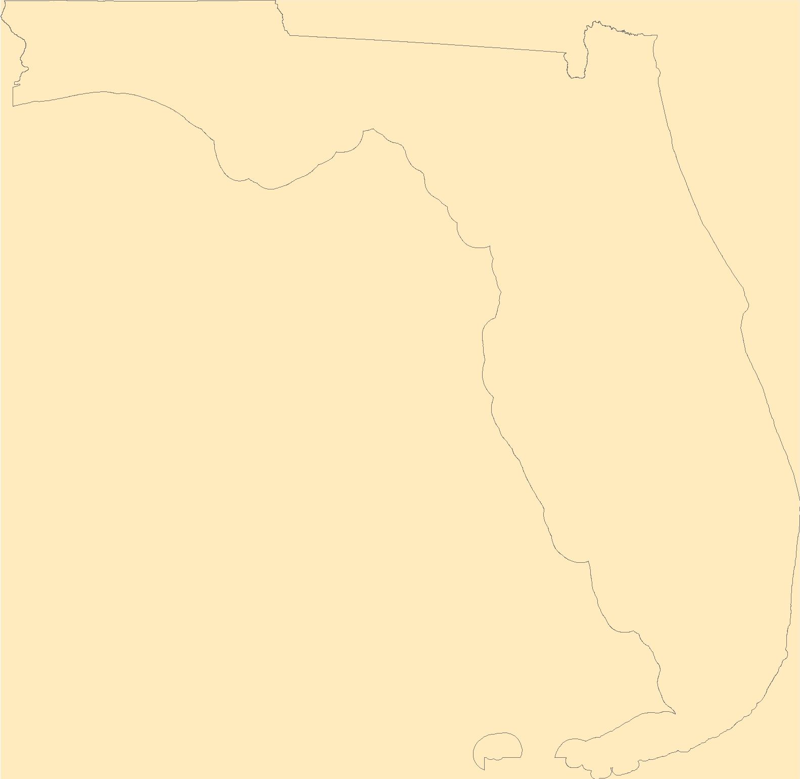
The Geographic Names Information System (GNIS) is the Federal standard for geographic nomenclature. The U.S. Geological Survey developed the GNIS for the U.S. Board on Geographic Names, a Federal inter-agency body chartered by public law to maintain uniform feature name usage throughout the Government and to promulgate standard names to the public. The GNIS is the official repository of domestic geographic names data; the official vehicle for geographic names use by all departments of the Federal Government; and the source for applying geographic names to Federal electronic and printed products of all types.
Tags: Alachua,
Antarctica,
Antarctica,
BGN,
Baker, All tags...
Bay,
Board on Geographic Names,
Borough,
Bradford,
Brevard,
Broward,
Calhoun,
Census Area,
Charlotte,
Citrus,
Clay,
Collier,
Columbia,
Commonwealth,
County,
DeSoto,
District,
Dixie,
Downloadable Data,
Duval,
Escambia,
FL,
Feature class,
Feature coordinates,
Feature county,
Feature description,
Feature designation,
Feature history,
Feature indentification,
Feature name,
Feature state,
Flagler,
Florida,
Franklin,
GNIS,
Gadsden,
GeoPackage,
Geographic Names,
Geographic Names Full Model,
Geographic Names Information System,
Geographic feature,
Geographic name,
Geographical feature,
Geographical name,
Gilchrist,
Glades,
Gulf,
Hamilton,
Hardee,
Hendry,
Hernando,
Highlands,
Hillsborough,
Holmes,
Indian River,
Jackson,
Jefferson,
Lafayette,
Lake,
Lee,
Leon,
Levy,
Liberty,
Madison,
Manatee,
Marion,
Martin,
Miami-Dade,
Monroe,
Municipio,
Nassau,
National Geographic Names Information System (GNIS),
National Geographic Names Information System (GNIS),
Official feature name,
Okaloosa,
Okeechobee,
Open Geospatial Consortium GeoPackage 1.2,
Orange,
Osceola,
Outlying Area,
Palm Beach,
Parish,
Pasco,
Pinellas,
Place name,
Polk,
Populated Place,
Putnam,
Santa Rosa,
Sarasota,
Seminole,
St. Johns,
St. Lucie,
State,
Sumter,
Suwannee,
Taylor,
Territories,
Territory,
Topographic Map,
U.S. Board on Geographic Names,
U.S. Geological Survey,
US,
USA,
USBGN,
USGS,
Union,
United States,
United States,
United States,
Variant name,
Volusia,
Wakulla,
Walton,
Washington,
antarctic,
database,
economy,
environment,
feature,
gazetteer,
geographic,
geographic names,
geographical,
geography,
geospatial,
imageryBaseMapsEarthCover,
inlandWaters,
location,
map,
name,
place,
placename,
society,
structure,
topographic map,
toponymy, Fewer tags
|
|

