Filters: Tags: Detroit (X)
59 results (27ms)|
Filters
Date Range
Types Contacts
Categories Tag Types
|

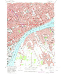
USGS Historical Quadrangle in GeoPDF.
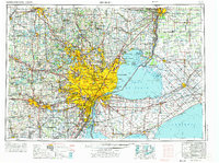
USGS Historical Quadrangle in GeoPDF.
This data set contains imagery from the National Agriculture Imagery Program (NAIP). The NAIP program is administered by USDA FSA and has been established to support two main FSA strategic goals centered on agricultural production. These are, increase stewardship of America's natural resources while enhancing the environment, and to ensure commodities are procured and distributed effectively and efficiently to increase food security. The NAIP program supports these goals by acquiring and providing ortho imagery that has been collected during the agricultural growing season in the U.S. The NAIP ortho imagery is tailored to meet FSA requirements and is a fundamental tool used to support FSA farm and conservation programs....
This data set contains imagery from the National Agriculture Imagery Program (NAIP). The NAIP program is administered by USDA FSA and has been established to support two main FSA strategic goals centered on agricultural production. These are increase stewardship of America's natural resources while enhancing the environment, and to ensure commodities are procured and distributed effectively and efficiently to increase food security. The NAIP program supports these goals by acquiring and providing ortho imagery that has been collected during the agricultural growing season in the U.S. The NAIP ortho imagery is tailored to meet FSA requirements and is a fundamental tool used to support FSA farm and conservation programs....
The Lake Erie Ecological Investigations (LEEI) dataset, housed at the Great Lakes Science Center (GLSC) was developed during a reevaluation of Lake Erie Areas of Concern (AOCs) from 1998-2000. These AOCs were recognized as such by the International Joint Commission (IJC) of the United States and Canada due to their severe water pollution problems. The dataset includes data from both the 1998-2000 reevaluation as well as data from other historical evaluations from the 1980’s to mid-1990’s for comparison where available. Data Description: Rivers and harbors of the Great Lakes have been impacted for decades by heavy industrialization, densely populated areas, and agriculture resulting in contamination, eutrophication,...
ADMMR map collection: Detroit Plan Map of Claims and Veins; 1 in. to 600 feet; 17 x 12 in.
Categories: Data;
Tags: Aluminum,
Arizona,
Cerbat - 7.5 Min,
Cerbat Mts. physiographic area,
Copper, Sulfide,

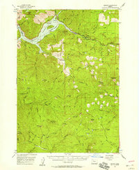
USGS Historical Quadrangle in GeoPDF.
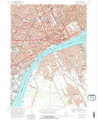
USGS Historical Quadrangle in GeoPDF.
This Fish Community Analysis dataset, a conceptual subgroup of the Lake Erie Ecological Investigations (LEEI) dataset, focuses on the fish communities sampled at Areas of Concern (AOCs) on Lake Erie. Per the Quality Assurance Project Plan (QAPP), fish were sampled for identification and measurement of length and weight. Identification of fish were done by the same biologists for both the 1998-2000 data and the 1986-87 historical data (Smith et al. 1994). Any fish difficult to identify were preserved in buffered formalin for later identification. If large numbers of a particular species were collected the first thirty fish were measured and weighed; remaining fish were individually measured and group weighed. All...
ADMMR map collection: Detroit Claim Map; 1 in. to 200 feet; 24 x 17 in.
This data set contains imagery from the National Agriculture Imagery Program (NAIP). The NAIP program is administered by USDA FSA and has been established to support two main FSA strategic goals centered on agricultural production. These are, increase stewardship of America's natural resources while enhancing the environment, and to ensure commodities are procured and distributed effectively and efficiently to increase food security. The NAIP program supports these goals by acquiring and providing ortho imagery that has been collected during the agricultural growing season in the U.S. The NAIP ortho imagery is tailored to meet FSA requirements and is a fundamental tool used to support FSA farm and conservation programs....

USGS Historical Quadrangle in GeoPDF.
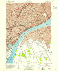
USGS Historical Quadrangle in GeoPDF.
USGS Historical Quadrangle in GeoPDF.
This data set contains imagery from the National Agriculture Imagery Program (NAIP). The NAIP program is administered by USDA FSA and has been established to support two main FSA strategic goals centered on agricultural production. These are, increase stewardship of America's natural resources while enhancing the environment, and to ensure commodities are procured and distributed effectively and efficiently to increase food security. The NAIP program supports these goals by acquiring and providing ortho imagery that has been collected during the agricultural growing season in the U.S. The NAIP ortho imagery is tailored to meet FSA requirements and is a fundamental tool used to support FSA farm and conservation programs....
Nonnative Phragmites australis (common reed) is widely distributed across North America and insufficient knowledge of P. australis has impeded the efficiency of management. To aid in Phragmites management and future studies, we used RNA-seq data from multiple types of plant tissue to construct forty-nine P. australis transcriptomes via different assembly tools and multiple parameter settings, resulting in seven assembled transcriptomes for further comprehensive assessments. The optimal transcriptome (“cd-hit”) was selected for functional annotation and downstream analyses. This data release contains the seven assembled transcriptomes, and data derived from the optimal transcriptome (functional annotations, tissue-specific...
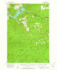
USGS Historical Quadrangle in GeoPDF.

USGS Historical Quadrangle in GeoPDF.

USGS Historical Quadrangle in GeoPDF.
USGS Historical Quadrangle in GeoPDF.
|

|
