Filters: Tags: District of Columbia (X)
323 results (47ms)|
Filters
Date Range
Extensions
Types Contacts
Categories
Tag Types
|
The Chesapeake Bay Land Use and Land Cover Database (LULC) facilitates characterization of the landscape and land change for and between discrete time periods. The database was developed by the University of Vermont’s Spatial Analysis Laboratory in cooperation with Chesapeake Conservancy (CC) and U.S. Geological Survey (USGS) as part of a 6-year Cooperative Agreement between Chesapeake Conservancy and the U.S. Environmental Protection Agency (EPA) and a separate Interagency Agreement between the USGS and EPA to provide geospatial support to the Chesapeake Bay Program Office. The database contains one-meter 13-class Land Cover (LC) and 54-class Land Use/Land Cover (LULC) for all counties within or adjacent to the...
This dataset represents the connections between each nearby pair of 2080 cores for Saltmarsh sparrow. It is intended to highlight areas important for connecting cores and to visually represent the connections among refugia cores.
Categories: Data;
Types: Downloadable,
GeoTIFF,
Map Service,
Raster;
Tags: Connecticut,
Delaware,
District of Columbia,
Maine,
Maryland,
We identified a set of cores for each species that include areas of high relative value to the species either in the present, the future, or both. We assessed and mapped the connections between each nearby pair of cores (both in the future and present) and used the pairwise connectivities to assemble a graph of connections and to score each core’s connectivity in the present and future. Finally, we created an overall score that combines the landscape capability value, the climate refugia value, and the connectivity of each core which we think is a good starting point for conservation of each species. In general we found that the highest habitat values, connectivity, and scores were concentrated both towards the...
Categories: Data;
Types: Downloadable,
Map Service,
OGC WFS Layer,
OGC WMS Layer,
Shapefile;
Tags: Connecticut,
Delaware,
District of Columbia,
Maine,
Maryland,
This dataset represents the connections between each nearby pair of 2020 cores for Cerulean warbler. It is intended to highlight areas important for connecting cores and to visually represent the connections among cores.
Categories: Data;
Types: Downloadable,
GeoTIFF,
Map Service,
Raster;
Tags: Connecticut,
Delaware,
District of Columbia,
Maine,
Maryland,

These data were released prior to the October 1, 2016 effective date for the USGS’s policy dictating the review, approval, and release of scientific data as referenced in USGS Survey Manual Chapter 502.8 Fundamental Science Practices: Review and Approval of Scientific Data for Release. The USGS compiles online access to water-resources data collected at approximately 1.5 million sites in all 50 States, the District of Columbia, Puerto Rico, the Virgin Islands, Guam, American Samoa and the Commonwealth of the Northern Mariana Islands.

These data were released prior to the October 1, 2016 effective date for the USGS’s policy dictating the review, approval, and release of scientific data as referenced in USGS Survey Manual Chapter 502.8 Fundamental Science Practices: Review and Approval of Scientific Data for Release. The U.S. Geological Survey's National Water-Use Information Program is responsible for compiling and disseminating the nation's water-use data. The USGS works in cooperation with local, State, and Federal environmental agencies to collect water-use information. USGS compiles these data to produce water-use information aggregated at the county, state, and national levels. Every five years, data at the county level are compiled into...

These data were released prior to the October 1, 2016 effective date for the USGS’s policy dictating the review, approval, and release of scientific data as referenced in USGS Survey Manual Chapter 502.8 Fundamental Science Practices: Review and Approval of Scientific Data for Release. This dataset provides a U.S. national 60-m, 19-class mapping of anthropogenic land uses for five time periods: 1974-1982-1992-2002-2012. The 2012 dataset is based on a slightly modified version of the National Land Cover Database 2011 (NLCD 2011) that was recoded to a schema of land uses, and mapped back in time to develop datasets for the four earlier eras. The time periods coincide with years in which U.S. Department of Agriculture...
Categories: pre-SM502.8;
Tags: Alabama,
Anthropogenic Land Use Trends,
Arizona,
Arkansas,
California,

The Geographic Names Information System (GNIS) is the Federal standard for geographic nomenclature. The U.S. Geological Survey developed the GNIS for the U.S. Board on Geographic Names, a Federal inter-agency body chartered by public law to maintain uniform feature name usage throughout the Government and to promulgate standard names to the public. The GNIS is the official repository of domestic geographic names data; the official vehicle for geographic names use by all departments of the Federal Government; and the source for applying geographic names to Federal electronic and printed products of all types.

The Geographic Names Information System (GNIS) is the Federal standard for geographic nomenclature. The U.S. Geological Survey developed the GNIS for the U.S. Board on Geographic Names, a Federal inter-agency body chartered by public law to maintain uniform feature name usage throughout the Government and to promulgate standard names to the public. The GNIS is the official repository of domestic geographic names data; the official vehicle for geographic names use by all departments of the Federal Government; and the source for applying geographic names to Federal electronic and printed products of all types.

The Geographic Names Information System (GNIS) is the Federal standard for geographic nomenclature. The U.S. Geological Survey developed the GNIS for the U.S. Board on Geographic Names, a Federal inter-agency body chartered by public law to maintain uniform feature name usage throughout the Government and to promulgate standard names to the public. The GNIS is the official repository of domestic geographic names data; the official vehicle for geographic names use by all departments of the Federal Government; and the source for applying geographic names to Federal electronic and printed products of all types.
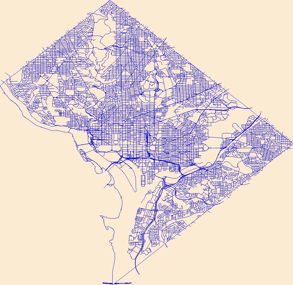
Layers of geospatial data include roads, airports, trails, and railroads.

Layers of geospatial data include roads, airports, trails, and railroads.
This map layer shows major ports in the United States, Puerto Rico, and the U.S. Virgin Islands. A port is a city, town, or urban area with a harbor where ships load or unload. This is a revised version of the July 2012 map layer.
Categories: Data;
Types: ArcGIS REST Map Service,
ArcGIS Service Definition,
Downloadable,
Map Service;
Tags: Alabama,
Alabama (AL),
Arizona,
Arkansas,
Boat Ramps,
Aquifer locations within the Dos Rios LCD project area.
Categories: Data;
Types: Downloadable,
Map Service,
OGC WFS Layer,
OGC WMS Layer,
Shapefile;
Tags: Alabama,
Aquifer,
Arizona,
Arkansas,
California,
The Watershed Boundary Dataset (WBD) is a comprehensive aggregated collection of hydrologic unit data consistent with the national criteria for delineation and resolution. It defines the areal extent of surface water drainage to a point except in coastal or lake front areas where there could be multiple outlets as stated by the "Federal Standards and Procedures for the National Watershed Boundary Dataset (WBD)" "Standard" (https://pubs.usgs.gov/tm/11/a3/). Watershed boundaries are determined solely upon science-based hydrologic principles, not favoring any administrative boundaries or special projects, nor particular program or agency. This dataset represents the hydrologic unit boundaries to the 12-digit (6th level)...
Using a combination of tabular and spatial data queries, we identified 133,111 flowlines in the National Hydrography Dataset Plus Version 2 (NHDPlusV2) that were created due to breaks in flowlines resulting from flowline intersection with quadrangle map boundaries. We found instances of this occurring in all 18 processing units of the NHDplusV2 dataset. To aid in managing for this characteristic of the NHDPlus, this EcoReach table (nhdplusv2_ecoreachv2.0.csv) assigns all flowlines into units that are representative of ecological stream reaches. These "ecological stream reaches" may be defined by: stream origins, stream confluences, lake or reservoir inflows or outflows, and/or stream outflows (described in more...
This dataset provides model specifications used to estimate metabolism. The format is a table with 1 row per model (1 tab-delimited file, compressed into zip file). The specific format of this configuration file is arbitrary and specific to this analysis, and the format need not be replicated to use streamMetabolizer; however, this tabular format is useful because it allows for the reading by both humans and computers of (1) the combinations of sites and temporal resolutions for which models were run, (2) the timeseries data that were selected and combined to prepare the input to each model, and (3) the model specifications and parameters that were used in each model application. This dataset is part of a larger...
This dataset contains estimates of the yearly sum of total nitrogen and total phosphorus (hereafter referred to as nitrogen and phosphorus) inputs from fertilizer applications and from manure applications in selected Chesapeake Bay watersheds from 1985 through 2012.
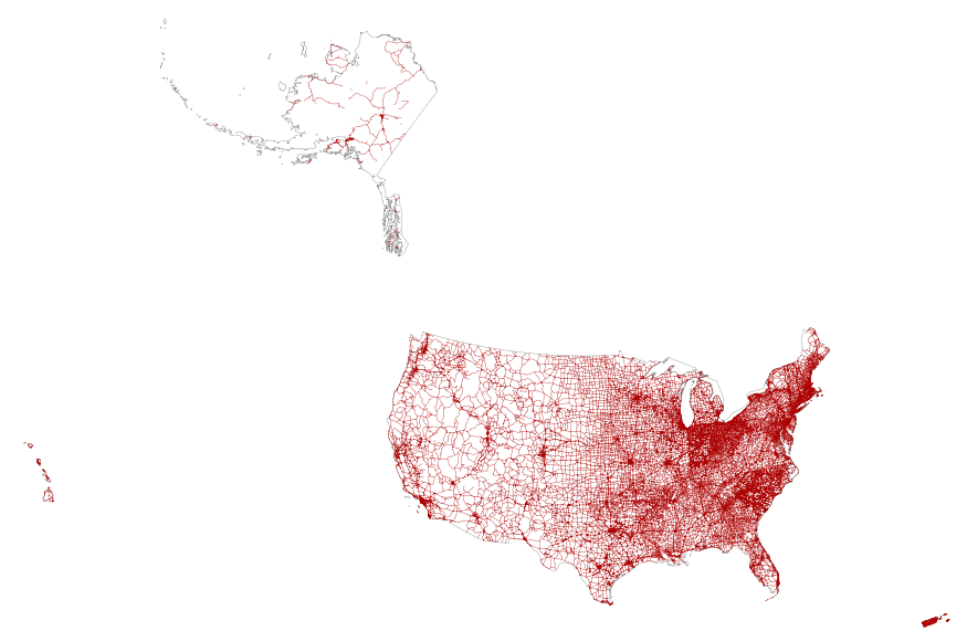
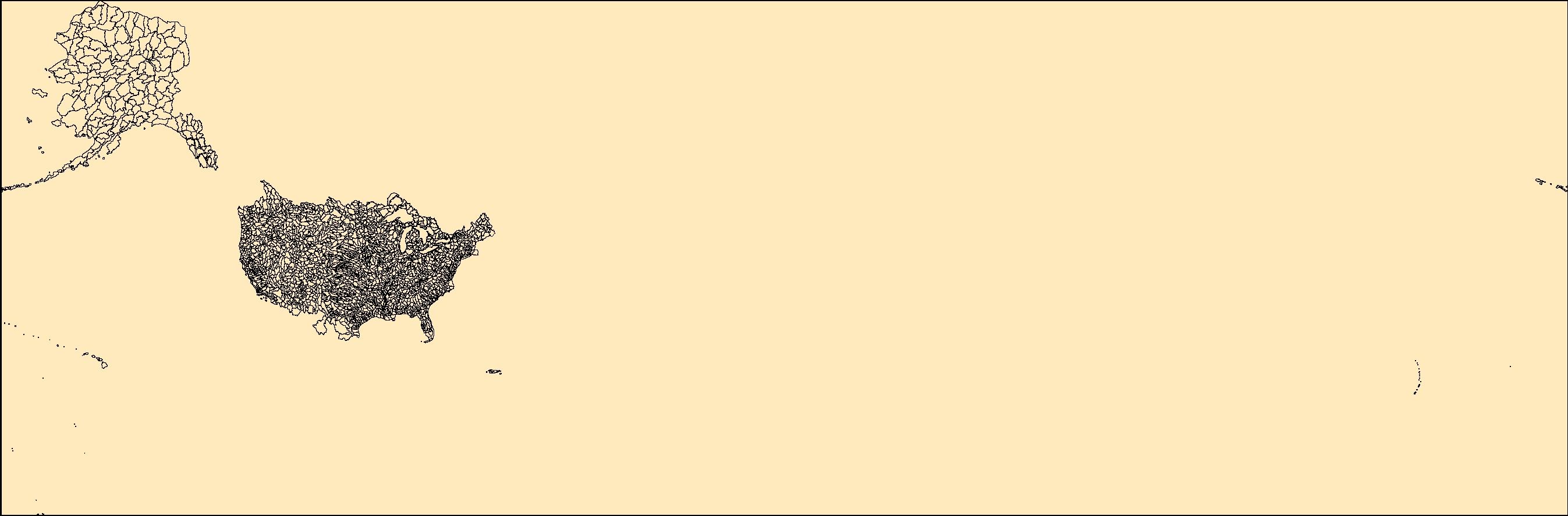
This map layer portrays the major roads in the United States, Puerto Rico, and the U.S. Virgin Islands. The file was produced by joining the individual State roads layers from the National Highway Planning Network (NHPN), Geographic Data Technology (GDT) Dynamap, and TIGER/Line files. This is a revised version of the July 2012 map layer.
|

|
