Filters: Tags: District of Columbia (X)
323 results (12ms)|
Filters
Date Range
Extensions
Types Contacts
Categories
Tag Types
|
The U. S. Geological Survey (USGS) makes long-term seismic hazard forecasts that are used in building codes. The hazard models usually consider only natural seismicity; non-tectonic (man-made) earthquakes are excluded because they are transitory or too small. In the past decade, however, thousands of earthquakes related to underground fluid injection have occurred in the central and eastern U.S. (CEUS), and some have caused damage. In response, the USGS is now also making short-term forecasts that account for the hazard from these induced earthquakes. A uniform earthquake catalog is assembled by combining and winnowing pre-existing source catalogs. Seismicity statistics are analyzed to develop recurrence models,...
The U. S. Geological Survey (USGS) makes long-term seismic hazard forecasts that are used in building codes. The hazard models usually consider only natural seismicity; non-tectonic (man-made) earthquakes are excluded because they are transitory or too small. In the past decade, however, thousands of earthquakes related to underground fluid injection have occurred in the central and eastern U.S. (CEUS), and some have caused damage. In response, the USGS is now also making short-term forecasts that account for the hazard from these induced earthquakes. A uniform earthquake catalog is assembled by combining and winnowing pre-existing, authoritative source catalogs. Seismicity statistics are analyzed to develop recurrence...
Geospatial data that is a derivative land cover product depicting woodland on topographic maps.
This shapefile contains summaries of habitat condition indices (HCI scores) from the National Fish Habitat Action Plan (NFHAP) 2010 National Assessments for 12 digit Hydrological Unit Codes (HUC12s) of the United States. Initial HCI scores were developed in three separate assessments (Conterminous U.S., Hawaii, and Alaska) due to differences in data availability across these regions. In the NFHAP 2010 Alaska assesment HCI values were already attributed to HUC12s. For this reason values for Alaska in this shapefile are identical to those represented in the Alaska assessment. To summarize data into HUC12s for the Conterminous United States and Hawaii a length-weighted average was used (i.e. the cumulative HCI score...
Categories: Data;
Types: Downloadable,
Map Service,
OGC WFS Layer,
OGC WMS Layer,
Shapefile;
Tags: 2010 National Assessment,
2010 National Assessment,
Alabama,
Alaska,
Anthropogenic factors,
This CSV file contains cumulative fish habitat condition index (HCI) scores generated for river reaches of the conterminous United States as well as indices generated specifically for four spatial units including local and network catchments and 90 m local and network buffers of river reaches. Note that the cumulative HCI score is determined from limiting index scores generated for the four spatial units listed above. Detailed methods for calculating cumulative fish habitat condition index scores as well as the indices for each spatial extent can be found on the following website: http://assessment.fishhabitat.org/: The variables used to create indices in catchments vs. buffers differ due to differences in resolution...
Categories: Data;
Types: ArcGIS REST Map Service,
Map Service;
Tags: 2015 National Assessment,
2015 National Assessment,
Alabama,
Anthropogenic factors,
Aquatic habitats,
This data release component contains mean daily stream water temperature observations, retrieved from the USGS National Water Information System (NWIS) and used to train and validate all temperature models. The model training period was from 2010-10-01 to 2014-09-30, and the test period was from 2014-10-01 to 2016-09-30.
Fish occurrence data to support high-resolution distribution models and test various community and macroecological hypotheses have not been available at the national scale. We present IchthyMaps, a database of high-quality historical fish occurrences covering fishes of the conterminous United States. Designed on the principles of metacommunity ecology, IchthyMaps is a compilation of presence records from atlases up to 1990, at the resolution of the 1:100,000 National Hydrography Database Plus (NHDPlus) inter-confluence stream segment, readily aggregated into hierarchically coarser units (e.g. hydrologic unit code 8-digit and 12-digit watersheds). IchthyMaps contains about 606,550 presence records for 1,038 species...
Categories: Data,
Publication;
Types: Citation;
Tags: Alabama,
Arizona,
Arkansas,
Biological Data,
Biological sampling,
This U.S. Geological Survey (USGS) data release includes input and output tabular files associated with mean seasonal 2002 simulations of total nitrogen and total phosphorus loads of the northeastern United States. The mean seasonal (MS) simulations are performed using a dynamic configuration of the USGS’s Spatially Referenced Regression On Watershed attributes (dynamicSPARROW-MS) model, nonlinear regression techniques, and monitored data. Model development, calibration, and results are described in the related external resource (Schmadel et al., 2021).
This metadata record documents 3 sets of comma delimited tables representing the amount of reported best management practice (BMP) implementation within the Chesapeake Bay watershed as well as output data from scenarios of the Chesapeake Bay Program Phase 5.3.2 Watershed Model. The scenario data were used to estimate the effects of BMPs on water quality. The data are organized by three themes (child items below); 1) BMP implementation and definitions, 2) isolation scenarios, and 3) "Progress" and "No Action" scenarios.
Data release consists of five comma delimited text files containing discharge and sediment data for five gaged tributaries to the Anacostia River in Washington, District of Columbia. Data were collected from 2003 through 2018.
These tabular data are summaries of land use/land cover related variables within catchments of the Chesapeake Bay watershed using the Xstrm methodology at 1:24,000 scale. Variables being counted as land use/land cover related contain all land use and land cover data including datasets that are split off or combined from those data (eg. agriculture or impervious classes only datasets). Outputs consist of tabular comma-separated values files (CSVs) for both the local catchment and network summaries linked to the National Hydrography Dataset Plus High-Resolution (NHDPlus HR) framework by NHDPlus ID. Local catchments are defined as the single catchment the data is summarized within. Network accumulation summaries were...
In response to Executive Order 13817 of December 20, 2017, the U.S. Geological Survey (USGS) coordinated with the Bureau of Land Management (BLM) to identify 36 nonfuel minerals or mineral materials considered critical to the economic and national security of the United States (U.S.) (https://pubs.usgs.gov/of/2018/1021/ofr20181021.pdf). Acquiring information on possible domestic sources of these critical minerals is the rationale for the USGS Earth Mapping Resources Initiative (Earth MRI). The program, which partners the USGS with State Geological Surveys, Federal agencies, and the private sector, aims to collect new geological, geophysical, and topographic (lidar) data in key areas of the U.S. to stimulate mineral...
The Chesapeake Bay Land Use and Land Cover Database (LULC) facilitates characterization of the landscape and land change for and between discrete time periods. The database was developed by the University of Vermont’s Spatial Analysis Laboratory in cooperation with Chesapeake Conservancy (CC) and U.S. Geological Survey (USGS) as part of a 6-year Cooperative Agreement between Chesapeake Conservancy and the U.S. Environmental Protection Agency (EPA) and a separate Interagency Agreement between the USGS and EPA to provide geospatial support to the Chesapeake Bay Program Office. The database contains one-meter 13-class Land Cover (LC) and 54-class Land Use/Land Cover (LULC) for all counties within or adjacent to the...
Types: Map Service,
OGC WFS Layer,
OGC WMS Layer,
OGC WMS Service;
Tags: Chesapeake,
Delaware,
District of Columbia,
Land Use Change,
Maryland,
This child item describes R code used to determine whether public-supply water systems buy water, sell water, both buy and sell water, or are neutral (meaning the system has only local water supplies) using water source information from a proprietary dataset from the U.S. Environmental Protection Agency. This information was needed to better understand public-supply water use and where water buying and selling were likely to occur. Buying or selling of water may result in per capita rates that are not representative of the population within the water service area. This dataset is part of a larger data release using machine learning to predict public supply water use for 12-digit hydrologic units from 2000-2020....
This data release includes estimates of potassium (K), equivalent uranium (eU), and equivalent thorium (eTh) for the conterminous United States derived from the U.S. Geological Survey's national airborne radiometric data compilation (Duval and others, 2005). Airborne gamma ray spectrometry (AGRS) measures the gamma-rays that are emitted from naturally occurring radioactive isotopes found in rocks and soil, the most abundant of which are potassium (K40), uranium (U238), and thorium (Th232). Radiometric data can aid in exploration of critical mineral resources, including deposits of barium, fluorine, titanium, beryllium, niobium, rare-earth elements, and uranium. There is also growing interest in using radiometric...
Categories: Data;
Types: Downloadable,
GeoTIFF,
Map Service,
Raster;
Tags: Alabama,
Arizona,
Arkansas,
California,
Colorado,
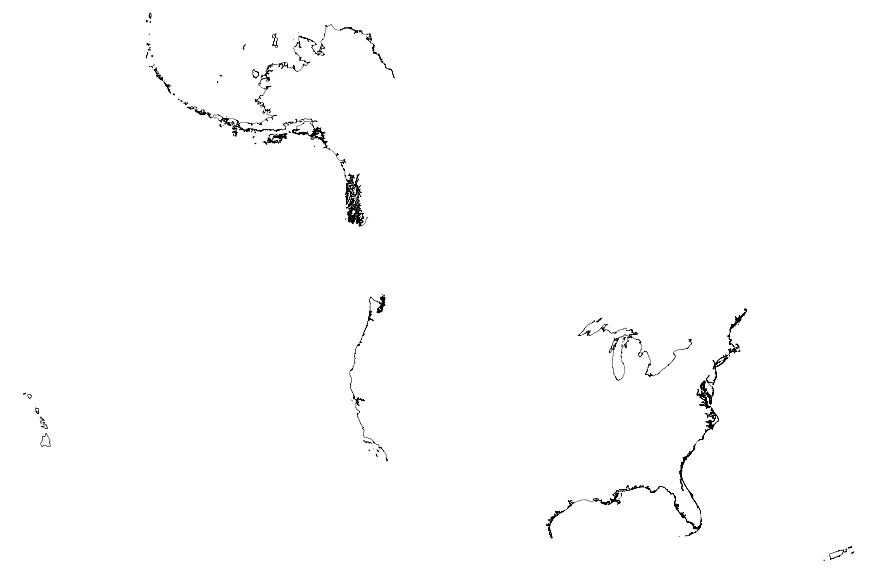
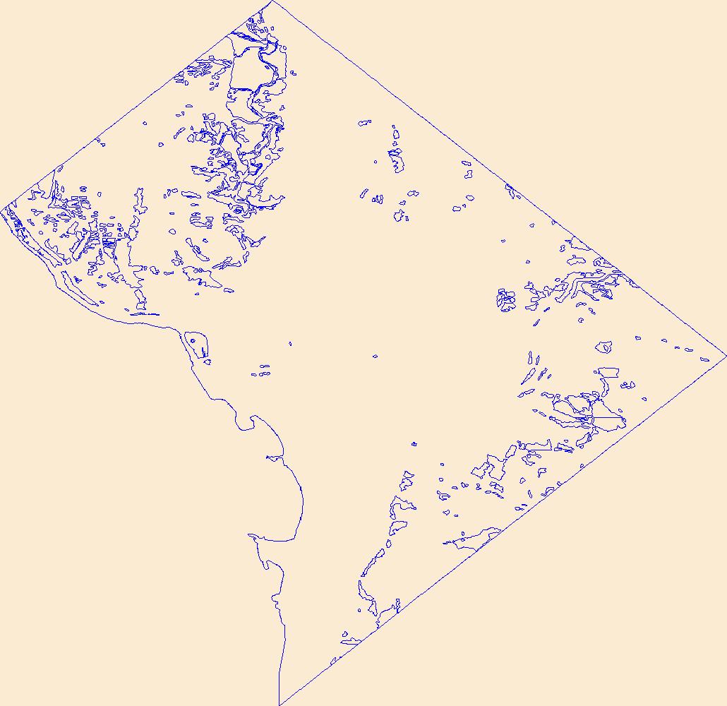
This map layer portrays the coastline of the United States, Puerto Rico, and the U.S. Virgin Islands. The United States shoreline of the Great Lakes is also included. This is a revised version of the July 2012 map layer.
This data set represents the hazard curves for a grid of points with a spacing of 0.05 degrees in latitude and longitude. It represents the annual rate of exceedance versus 0.2-second spectral response acceleration.
This dataset contains values of soils, climate, hydrologic, topographic, and other geographic characteristics such as drainage area. These are considered "static" characteristics, which do not change over the time period of this study.
Categories: Data;
Types: Citation;
Tags: Chesapeake Bay,
Delaware,
District of Columbia,
James River,
Maryland,
This dataset provides estimates of annual and seasonal precipitation for selected Chesapeake Bay watersheds. Season 1 is November-February; season 2 is March-June; and season 3 is July-October.
Categories: Data;
Types: Citation;
Tags: Chesapeake Bay,
Delaware,
District of Columbia,
James River,
Maryland,
This map layer shows polygons of average annual precipitation in thecontiguous United States, for the climatological period 1961-1990.Parameter-elevation Regressions on Independent Slopes Model (PRISM)derived raster data is the underlying data set from which the polygonsand vectors were created. PRISM is an analytical model that uses pointdata and a digital elevation model (DEM) to generate gridded estimatesof annual, monthly and event-based climatic parameters.
Categories: Data;
Types: Downloadable,
Map Service,
OGC WFS Layer,
OGC WMS Layer,
Shapefile;
Tags: Alabama,
Arizona,
Arkansas,
California,
Climate,
|

|
