Filters: Tags: Dome (X)
11 results (7ms)|
Filters
Date Range
Types Contacts
Tag Types Tag Schemes |
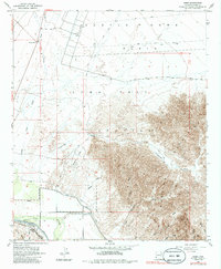
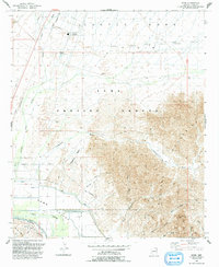
USGS Historical Quadrangle in GeoPDF.
The Taupo Volcanic Zone (TVZ), New Zealand, is the most productive area of explosive silicic volcanism in the world. Faulted early and middle Pleistocene volcanic products are generally concealed beneath voluminous, generally unfaulted, younger volcanic products. An exception is the southeast margin of the TVZ where the two parallel, northeast-trending Paeroa and Te Weta Fault blocks expose Quaternary volcanic products consisting predominantly of caldera-related, rhyolitic ignimbrites and lacustrine sediments. The Taupo-Reporoa Basin is situated along the eastern part of the map area, and its northernmost part underwent collapse to form Reporoa Caldera. The Paeroa Fault block is the largest exposed fault block within...
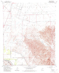
USGS Historical Quadrangle in GeoPDF.
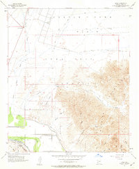
USGS Historical Quadrangle in GeoPDF.
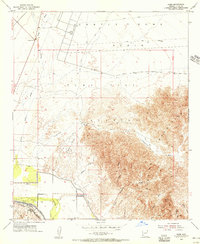
USGS Historical Quadrangle in GeoPDF.
This data set contains imagery from the National Agriculture Imagery Program (NAIP). The NAIP program is administered by USDA FSA and has been established to support two main FSA strategic goals centered on agricultural production. These are, increase stewardship of America's natural resources while enhancing the environment, and to ensure commodities are procured and distributed effectively and efficiently to increase food security. The NAIP program supports these goals by acquiring and providing ortho imagery that has been collected during the agricultural growing season in the U.S. The NAIP ortho imagery is tailored to meet FSA requirements and is a fundamental tool used to support FSA farm and conservation programs....
This data set contains imagery from the National Agriculture Imagery Program (NAIP). The NAIP program is administered by USDA FSA and has been established to support two main FSA strategic goals centered on agricultural production. These are, increase stewardship of America's natural resources while enhancing the environment, and to ensure commodities are procured and distributed effectively and efficiently to increase food security. The NAIP program supports these goals by acquiring and providing ortho imagery that has been collected during the agricultural growing season in the U.S. The NAIP ortho imagery is tailored to meet FSA requirements and is a fundamental tool used to support FSA farm and conservation programs....
This data set contains imagery from the National Agriculture Imagery Program (NAIP). The NAIP program is administered by USDA FSA and has been established to support two main FSA strategic goals centered on agricultural production. These are, increase stewardship of America's natural resources while enhancing the environment, and to ensure commodities are procured and distributed effectively and efficiently to increase food security. The NAIP program supports these goals by acquiring and providing ortho imagery that has been collected during the agricultural growing season in the U.S. The NAIP ortho imagery is tailored to meet FSA requirements and is a fundamental tool used to support FSA farm and conservation programs....
This report provides detailed (1:63,360-scale) mapping of the Tanana A-1 and A-2 quadrangles (500 square miles; equivalent to eight 7.5-minute quadrangles). The area is part of the Manley Hot Springs-Tofty mining districts and adjacent to the Rampart mining district to the south of the Tanana B-1 Quadrangle. This report includes detailed bedrock, structural, and stratigraphic data. The Tanana A-1 and A-2 Quadrangles and surrounding area comprise several isolated mountainous ridges in the western Yukon-Tanana Upland of interior Alaska.
This data set contains imagery from the National Agriculture Imagery Program (NAIP). The NAIP program is administered by USDA FSA and has been established to support two main FSA strategic goals centered on agricultural production. These are, increase stewardship of America's natural resources while enhancing the environment, and to ensure commodities are procured and distributed effectively and efficiently to increase food security. The NAIP program supports these goals by acquiring and providing ortho imagery that has been collected during the agricultural growing season in the U.S. The NAIP ortho imagery is tailored to meet FSA requirements and is a fundamental tool used to support FSA farm and conservation programs....
USGS Historical Quadrangle in GeoPDF.
|

|
