Filters: Tags: Drainage (X)
78 results (84ms)|
Filters
Date Range
Extensions Types Contacts
Categories Tag Types
|

HydroSHEDS (Hydrological data and maps based on SHuttle Elevation Derivatives at multiple Scales) provides hydrographic information in a consistent and comprehensive format for regional and global-scale applications. HydroSHEDS offers a suite of geo-referenced data sets (vector and raster), including stream networks, watershed boundaries, drainage directions, and ancillary data layers such as flow accumulations, distances, and river topology information. HydroSHEDS is derived from elevation data of the Shuttle Radar Topography Mission (SRTM) at 3 arc-second resolution. Available HydroSHEDS resolutions range from 3 arc-second (approx. 90 meters at the equator) to 5 minute (approx. 10 km at the equator) with seamless...

HydroSHEDS (Hydrological data and maps based on SHuttle Elevation Derivatives at multiple Scales) provides hydrographic information in a consistent and comprehensive format for regional and global-scale applications. HydroSHEDS offers a suite of geo-referenced data sets (vector and raster), including stream networks, watershed boundaries, drainage directions, and ancillary data layers such as flow accumulations, distances, and river topology information. HydroSHEDS is derived from elevation data of the Shuttle Radar Topography Mission (SRTM) at 3 arc-second resolution. Available HydroSHEDS resolutions range from 3 arc-second (approx. 90 meters at the equator) to 5 minute (approx. 10 km at the equator) with seamless...

HydroSHEDS (Hydrological data and maps based on SHuttle Elevation Derivatives at multiple Scales) provides hydrographic information in a consistent and comprehensive format for regional and global-scale applications. HydroSHEDS offers a suite of geo-referenced data sets (vector and raster), including stream networks, watershed boundaries, drainage directions, and ancillary data layers such as flow accumulations, distances, and river topology information. HydroSHEDS is derived from elevation data of the Shuttle Radar Topography Mission (SRTM) at 3 arc-second resolution. Available HydroSHEDS resolutions range from 3 arc-second (approx. 90 meters at the equator) to 5 minute (approx. 10 km at the equator) with seamless...
nthropogenic selenium contamination of aquatic ecosystems was first associated with cooling reservoirs of coal-fired power plants in the late 1970s, and later with drainage water from agricultural irrigation activities in the 1980s. In the 1990s, selenium contamination has been raised as a concern in the recovery of currently endangered fish in the Colorado River system. Widespread contamination from seleniferous drain waters from agriculture has been documented in the upper and lower Colorado River basins. Historically, irrigation started in the upper Colorado River basin in the late 1880s. In the 1930s, selenium concentrations in various drains, tributaries, and major rivers in the upper and lower Colorado River...
Categories: Publication;
Types: Citation,
Journal Citation;
Tags: Colorado River,
Colorado pikeminnow,
Gunnison River,
Human and Ecological Risk Assessment,
bonytail,
A water quality model for subirrigation and subsurface drainage, ADAPT (Agricultural Drainage And Pesticide Transport), was tested with field data collected under various water table management practices near Ames, IA. Atrazine and alachlor concentrations at various soil depths for water table depths of 30, 60, and 90 cm were simulated using ADAPT model for corn growing seasons of 1989 through 1991. Daily pesticide concentrations in groundwater predicted by the model were compared with available observed data for the same site. Predicted values of atrazine and alachlor concentrations in groundwater decreased when shallow water table depths were maintained in the lysimeters. Similar trends were noticed with the observed...
Categories: Publication;
Types: Citation;
Tags: ADAPT,
Data Visualization & Tools,
Drainage,
Landscapes,
Model,
PEM_20K contains 1:20,000 PEM polygons with key and amalgamated (concatenated) attributes derived from the Resource Inventory Standards Committee (RISC) standard attributes. PEM divides the landscape into units according to a variety of ecological features including climate, physiography, surficial material, bedrock geology, soils and vegetation. PEM uses a modeling approach to ecosystem mapping, whereby existing knowledge of ecosystem attributes and relationships are used to predict ecosystem representation in the landscape. This layer is derived from the STE_TEI_ATTRIBUTE_POLYS_SP layer by filtering on the PROJECT_TYPE and PROJECT_MAP_SCALE attributes
Terrain Inventory Mapping (TIM) contains polygons with key and amalgamated (concatenated) attributes derived from the RISC (Resource Inventory Standards Committee) standard attributes. TIM is multi-purpose and divides the landscape into unit according to surficial material, surface expression and geomorphological process using the Terrain Classification System for British Columbia. Most of the inventory mapping was completed in the 1970's and 1980's on 1:50 000 scale base maps using air photo interpretation with selective field checking, and manual transfer and drafting of paper maps. These maps were later digitized and have been converted from IGDS or CAPAMP to ArcInfo to Geodatabase. This layer is derived from...

This geodatabase contains streams, waterbodies and wetlands, streamflow gaging stations, and coastlines for the United States, Puerto Rico, and the U.S. Virgin Islands. The streams are incorporated into a geometric network. All feature classes are vertically integrated with each other and with 1:1,000,000-scale transportation and boundary data sets.

HydroSHEDS (Hydrological data and maps based on SHuttle Elevation Derivatives at multiple Scales) provides hydrographic information in a consistent and comprehensive format for regional and global-scale applications. HydroSHEDS offers a suite of geo-referenced data sets (vector and raster), including stream networks, watershed boundaries, drainage directions, and ancillary data layers such as flow accumulations, distances, and river topology information. HydroSHEDS is derived from elevation data of the Shuttle Radar Topography Mission (SRTM) at 3 arc-second resolution. Available HydroSHEDS resolutions range from 3 arc-second (approx. 90 meters at the equator) to 5 minute (approx. 10 km at the equator) with seamless...

HydroSHEDS (Hydrological data and maps based on SHuttle Elevation Derivatives at multiple Scales) provides hydrographic information in a consistent and comprehensive format for regional and global-scale applications. HydroSHEDS offers a suite of geo-referenced data sets (vector and raster), including stream networks, watershed boundaries, drainage directions, and ancillary data layers such as flow accumulations, distances, and river topology information. HydroSHEDS is derived from elevation data of the Shuttle Radar Topography Mission (SRTM) at 3 arc-second resolution. Available HydroSHEDS resolutions range from 3 arc-second (approx. 90 meters at the equator) to 5 minute (approx. 10 km at the equator) with seamless...

HydroSHEDS (Hydrological data and maps based on SHuttle Elevation Derivatives at multiple Scales) provides hydrographic information in a consistent and comprehensive format for regional and global-scale applications. HydroSHEDS offers a suite of geo-referenced data sets (vector and raster), including stream networks, watershed boundaries, drainage directions, and ancillary data layers such as flow accumulations, distances, and river topology information. HydroSHEDS is derived from elevation data of the Shuttle Radar Topography Mission (SRTM) at 3 arc-second resolution. Available HydroSHEDS resolutions range from 3 arc-second (approx. 90 meters at the equator) to 5 minute (approx. 10 km at the equator) with seamless...
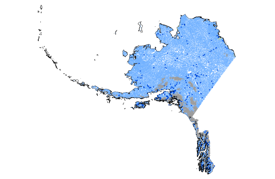
This geodatabase contains streams, waterbodies and wetlands, streamflow gaging stations, and coastlines for Alaska. The streams are incorporated into a geometric network. All feature classes are vertically integrated with each other and with 1:1,000,000-scale transportation and boundary data sets.
Map of the Agashashok River Area and location of proposed observation sites (numbered circles). This focal watershed is in the southwest corner of the Arctic LCC and largely drains the Brooks Range ecoregion with a small portion of the lower basin in the Kobuk Ridges and Valleys ecoregion. The braided character of the lower river prevents us from suggesting a long term gaging station in that location. Inset shows the location of the seven TEON focal watersheds. Image by Arctic LCC staff.
Categories: Data;
Types: Map Service,
OGC WFS Layer,
OGC WMS Layer,
OGC WMS Service;
Tags: AIR TEMPERATURE,
AIR TEMPERATURE,
ATMOSPHERE,
ATMOSPHERE,
Academics & scientific researchers,
This is a release of data presented in the report "Binational Study of the Transboundary San Pedro Aquifer", Callegary and others, 2016: Callegary, J.B., Minjárez Sosa, I., Tapia Villaseñor, E.M., dos Santos, P., Monreal Saavedra, R., Grijalva Noriega, F.J., Huth, A.K., Gray, F., Scott, C.A., Megdal, S.B., Oroz Ramos, L.A., Rangel Medina, M., Leenhouts, J.M., 2016, Binational Study of the Transboundary San Pedro Aquifer: International Boundary and Water Commission. The United States and Mexico share waters in a number of hydrological basins and aquifers that cross the International Boundary. Both the United States and Mexico recognize that, in a region of scarce water and expanding populations, better...

HydroSHEDS (Hydrological data and maps based on SHuttle Elevation Derivatives at multiple Scales) provides hydrographic information in a consistent and comprehensive format for regional and global-scale applications. HydroSHEDS offers a suite of geo-referenced data sets (vector and raster), including stream networks, watershed boundaries, drainage directions, and ancillary data layers such as flow accumulations, distances, and river topology information. HydroSHEDS is derived from elevation data of the Shuttle Radar Topography Mission (SRTM) at 3 arc-second resolution. Available HydroSHEDS resolutions range from 3 arc-second (approx. 90 meters at the equator) to 5 minute (approx. 10 km at the equator) with seamless...

HydroSHEDS (Hydrological data and maps based on SHuttle Elevation Derivatives at multiple Scales) provides hydrographic information in a consistent and comprehensive format for regional and global-scale applications. HydroSHEDS offers a suite of geo-referenced data sets (vector and raster), including stream networks, watershed boundaries, drainage directions, and ancillary data layers such as flow accumulations, distances, and river topology information. HydroSHEDS is derived from elevation data of the Shuttle Radar Topography Mission (SRTM) at 3 arc-second resolution. Available HydroSHEDS resolutions range from 3 arc-second (approx. 90 meters at the equator) to 5 minute (approx. 10 km at the equator) with seamless...
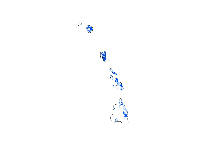
This geodatabase contains streams, waterbodies and wetlands, streamflow gaging stations, and coastlines for Hawaii. The streams are incorporated into a geometric network. All feature classes are vertically integrated with each other and with 1:1,000,000-scale transportation and boundary data sets.

Rivers, streams, lakes and other water bodies of the Metro region. Downloaded from Metro's RLIS Discovery site on 7/2/2012.

This geospatial dataset is a hydrologic unit boundary layer for the Sub-watershed (12-digit) level. The dataset is a subset of the 6th level (field) hydrologic unit boundaries from the Watershed Boundary Dataset (WBD) layer for Oregon. Hydrologic units in the data set represent drainage areas delineated to the 6th level drainage systems. Their boundaries are defined by hydrographic and topographic criteria that delineate an area of land upstream from a specific point on a river, stream, or similar surface waters. Boundaries within the this data set were delineated by Pacific Northwest (PNW) Hydrography Framework Partners and Natural Resources Conservation Service (NRCS) to meet state requirements and to contribute...
This represents the flowline network in Connecting River Systems Restoration Assessment (CRSRA). It is attributed with the number of disconnections between the reach and the connecting river system. These data will help identify the condition of hydrologic separation between potential restoration areas and the connecting river system. Low numbers represent fewer disconnections such as culverts between the reach and the rivers requiring no flow network modification to restore the area.
Categories: Data;
Types: Citation,
Downloadable,
Map Service,
OGC WFS Layer,
OGC WMS Layer,
Shapefile;
Tags: Artificial Path,
Canal / Ditch,
Detroit River,
FWHydrography,
Great Lakes,
|

|
