Filters: Tags: ELKHORN (X) > partyWithName: U.S. Geological Survey (X)
24 results (48ms)|
Filters
Date Range
Contacts Categories Tag Types Tag Schemes |
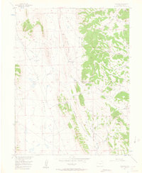
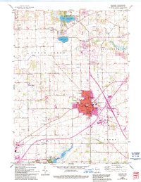
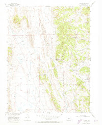
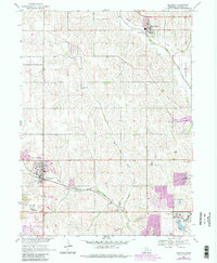
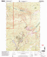
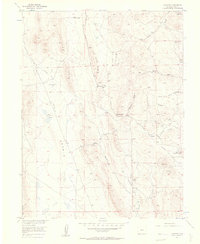
USGS Historical Quadrangle in GeoPDF.
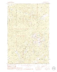
USGS Historical Quadrangle in GeoPDF.
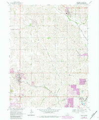
USGS Historical Quadrangle in GeoPDF.
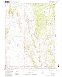
USGS Historical Quadrangle in GeoPDF.
USGS Historical Quadrangle in GeoPDF.
USGS Historical Quadrangle in GeoPDF.

These data were released prior to the October 1, 2016 effective date for the USGS’s policy dictating the review, approval, and release of scientific data as referenced in USGS Survey Manual Chapter 502.8 Fundamental Science Practices: Review and Approval of Scientific Data for Release. LiDAR-derived (hydrography) stream network.

These data were released prior to the October 1, 2016 effective date for the USGS’s policy dictating the review, approval, and release of scientific data as referenced in USGS Survey Manual Chapter 502.8 Fundamental Science Practices: Review and Approval of Scientific Data for Release. Data points represent head scarps, flank scarps, and minor internal scarps (linear) associated with landslide deposits in the Little North Santiam River Basin, Oregon. This work was completed as part of the Master's thesis "Turbidity Monitoring and LiDAR Imagery Indicate Landslides are Primary Source of Suspended-Sediment Load in the Little North Santiam River Basin, Oregon, Winter 2009-2010" by Steven Sobieszczyk, Portland State...
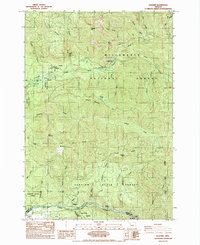
USGS Historical Quadrangle in GeoPDF.

USGS Historical Quadrangle in GeoPDF.

These data were released prior to the October 1, 2016 effective date for the USGS’s policy dictating the review, approval, and release of scientific data as referenced in USGS Survey Manual Chapter 502.8 Fundamental Science Practices: Review and Approval of Scientific Data for Release. This layer is an inventory of existing landslides deposits in the Little North Santiam River Basin, Oregon (2009). Each landslide deposit shown on this map has been classified according to a number of specific characteristics identified at the time recorded in the GIS database. The classification scheme was developed by the Oregon Department of Geology and Mineral Industries (Burns and Madin, 2009). Several significant landslide...
USGS Historical Quadrangle in GeoPDF.

These data were released prior to the October 1, 2016 effective date for the USGS’s policy dictating the review, approval, and release of scientific data as referenced in USGS Survey Manual Chapter 502.8 Fundamental Science Practices: Review and Approval of Scientific Data for Release. Polygons represent head scarps and flank scarps associated with landslide deposits in the Little North Santiam River Basin, Oregon. This work was completed as part of the Master's thesis "Turbidity Monitoring and LiDAR Imagery Indicate Landslides are Primary Source of Suspended-Sediment Load in the Little North Santiam River Basin, Oregon, Winter 2009-2010" by Steven Sobieszczyk, Portland State University and U.S. Geological Survey....
USGS Historical Quadrangle in GeoPDF.
USGS Historical Quadrangle in GeoPDF.
USGS Historical Quadrangle in GeoPDF.

These data were released prior to the October 1, 2016 effective date for the USGS’s policy dictating the review, approval, and release of scientific data as referenced in USGS Survey Manual Chapter 502.8 Fundamental Science Practices: Review and Approval of Scientific Data for Release. This geodatabase is an inventory of existing landslides in the Little North Santiam River Basin, Oregon (2009). Each landslide feature shown has been classified according to a number of specific characteristics identified at the time recorded in the GIS database. The classification scheme was developed by the Oregon Department of Geology and Mineral Industries (Burns and Madin, 2009). Several significant landslide characteristics...
Categories: pre-SM502.8;
Tags: Elkhorn,
Elkhorn Valley,
Little North Santiam River Basin,
Marion County,
NSDI,
USGS Historical Quadrangle in GeoPDF.
USGS Historical Quadrangle in GeoPDF.
USGS Historical Quadrangle in GeoPDF.
|

|
