Filters: Tags: Eagle (X)
394 results (26ms)|
Filters
Date Range
Extensions Types Contacts
Categories Tag Types Tag Schemes |
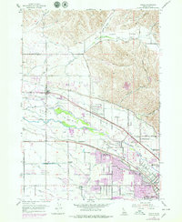
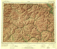
Layered geospatial PDF Map. Layers of geospatial data include orthoimagery, roads, grids, geographic names, elevation contours, hydrography, and other selected map features.
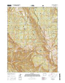
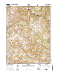
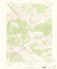
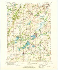
Layered GeoPDF 7.5 Minute Quadrangle Map. Layers of geospatial data include orthoimagery, roads, grids, geographic names, elevation contours, hydrography, and other selected map features.
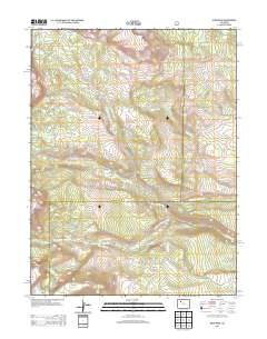
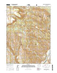
Layered GeoPDF 7.5 Minute Quadrangle Map. Layers of geospatial data include orthoimagery, roads, grids, geographic names, elevation contours, hydrography, and other selected map features.
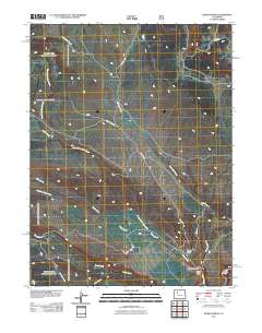
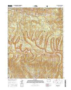
Layered GeoPDF 7.5 Minute Quadrangle Map. Layers of geospatial data include orthoimagery, roads, grids, geographic names, elevation contours, hydrography, and other selected map features.
Layered geospatial PDF Map. Layers of geospatial data include orthoimagery, roads, grids, geographic names, elevation contours, hydrography, and other selected map features.
Layered geospatial PDF Map. Layers of geospatial data include orthoimagery, roads, grids, geographic names, elevation contours, hydrography, and other selected map features.
Layered geospatial PDF Map. Layers of geospatial data include orthoimagery, roads, grids, geographic names, elevation contours, hydrography, and other selected map features.
Layered geospatial PDF Map. Layers of geospatial data include orthoimagery, roads, grids, geographic names, elevation contours, hydrography, and other selected map features.
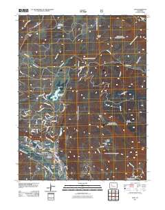
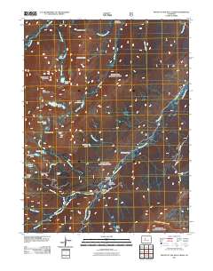
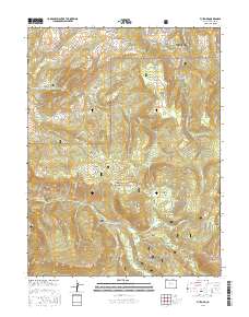
Layered GeoPDF 7.5 Minute Quadrangle Map. Layers of geospatial data include orthoimagery, roads, grids, geographic names, elevation contours, hydrography, and other selected map features.

The Geographic Names Information System (GNIS) is the Federal standard for geographic nomenclature. The U.S. Geological Survey developed the GNIS for the U.S. Board on Geographic Names, a Federal inter-agency body chartered by public law to maintain uniform feature name usage throughout the Government and to promulgate standard names to the public. The GNIS is the official repository of domestic geographic names data; the official vehicle for geographic names use by all departments of the Federal Government; and the source for applying geographic names to Federal electronic and printed products of all types.
This data release is part of a 2016-2019 study on the geology, geochemistry and geochronology of ore systems in the eastern Yukon-Tanana Upland region, Alaska. Whole rock chemistry was conducted on 185 samples, mostly from Au prospects, with lesser samples from porphyry Cu prospects. Geographically, most samples are from gold prospects near the Pogo Au mine and east to Black Mountain in the Big Delta quadrangle. Fewer samples are from prospects in the Eagle and Tanacross Quadrangles. Samples were submitted to the USGS contract laboratory and analyzed for select trace elements and gold. Sixty elements were determined by inductively coupled plasma-optical emission spectroscopy-mass spectroscopy (ICP-OES-MS), sodium...
Categories: Data;
Types: Downloadable,
Map Service,
OGC WFS Layer,
OGC WMS Layer,
Shapefile;
Tags: Alaska,
Big Delta,
Black Mountain,
Eagle,
Economic Geology,
USGS Historical Quadrangle in GeoPDF.
Core Research Center, core E963, from well operated by PAINE JOSEPH J CRaw Properties from download, web scrape, MapServer, and Macrostrat API{"Lib Num": "E963", "API Num": "3301100292", "Operator": "PAINE JOSEPH J C", "Well Name": "1-9 AASEN", "Field": "LITTLE MISSOURI", "State": "ND", "County": "BOWMAN", "Type": "SLABBED", "Photos": "T", "Thin Sec": "F", "Analysis": "F", "Latitude": "46.013094", "Longitude": "-103.935999", "coordinates_geohash": "c8njfbkjewmv", "Source": "FROM STATE RECORDS", "Security Flag": "NO SPECIAL RESTRICTIONS", "crc_collection_name": "core", "sb_parent_id": "4f4e49dae4b07f02db5e0486", "intervals": [{"Formation": "EAGLE", "Age": "CRET", "Min Depth": "1150", "Max Depth": "1195"}, {"Formation":...
Core Research Center, core C277, from well operated by MONT DAK UTILITIESRaw Properties from download, web scrape, MapServer, and Macrostrat API{"Lib Num": "C277", "API Num": "2502521085", "Operator": "MONT DAK UTILITIES", "Well Name": "406 GOVERNMENT UNIT", "Field": "CEDAR CREEK", "State": "MT", "County": "FALLON", "Type": "SLABBED", "Photos": "F", "Thin Sec": "F", "Analysis": "F", "Latitude": "46.241334", "Longitude": "-104.161257", "coordinates_geohash": "c8jzjcbp6c3m", "Source": "FROM STATE RECORDS", "Security Flag": "NO SPECIAL RESTRICTIONS", "crc_collection_name": "core", "sb_parent_id": "4f4e49dae4b07f02db5e0486", "intervals": [{"Formation": "EAGLE", "Age": "CRET", "Min Depth": "1377", "Max Depth": "1406"}],...
Categories: Physical Item;
Tags: CRET,
EAGLE,
Pierre Formation,
Pierre Formation,
Santonian - Campanian,
USGS Historical Quadrangle in GeoPDF.
USGS Historical Quadrangle in GeoPDF.
USGS Historical Quadrangle in GeoPDF.

USGS Historical Quadrangle in GeoPDF.
Core Research Center, cutting HH01747, from well operated by SPYGLASS CEDAR CREEKRaw Properties from download, web scrape, MapServer, and Macrostrat API{"Lib Num": "HH01747", "API Num": "4006320641", "Operator": "SPYGLASS CEDAR CREEK", "Well Name": "8-8 STATE", "Field": "JUMPOFF", "State": "SD", "County": "HARDING", "Thin Sec": "F", "Analysis": "T", "Latitude": "45.45352", "Longitude": "-103.65091", "coordinates_geohash": "c8n696e9ywr8", "Source": "PROVIDED BY DONOR", "Min": "470", "Max": "1932", "Security Flag": null, "crc_collection_name": "cutting", "sb_parent_id": "4f4e49d8e4b07f02db5df2d2", "intervals": [{"Formation": "SHANNON", "Age": "CRETACEOUS", "Min Depth": "1594", "Max Depth": "1932"}, {"Formation": "EAGLE",...
Categories: Physical Item;
Tags: CRETACEOUS,
CRETACEOUS,
EAGLE,
Hell Creek Formation,
Hell Creek Formation,
Core Research Center, core T962, from well operated by KLABZUBA OIL & GASRaw Properties from download, web scrape, MapServer, and Macrostrat API{"Lib Num": "T962", "API Num": "2500523003", "Operator": "KLABZUBA OIL & GAS", "Well Name": "WILLIAMS", "Field": "LODGE CREEK", "State": "MT", "County": "BLAINE", "Type": "SLABBED", "Photos": "T", "Thin Sec": "F", "Analysis": "F", "Latitude": "48.701362", "Longitude": "-109.422018", "coordinates_geohash": "c8djn1c3fpvs", "Source": "FROM STATE RECORDS", "Security Flag": "NO SPECIAL RESTRICTIONS", "crc_collection_name": "core", "sb_parent_id": "4f4e49dae4b07f02db5e0486", "intervals": [{"Formation": "EAGLE", "Age": "CRET", "Min Depth": "1267", "Max Depth": "1385"}], "crcwc_url":...
|

|
