Filters: Tags: Economy (X) > partyWithName: U.S. Geological Survey (X)
460 results (109ms)|
Filters
Date Range
Extensions Types Contacts
Categories Tag Types Tag Schemes |
Audiomagnetotelluric sounding data in the Silverton Caldera complex, Colorado, 2018; Station AMTCC04
This dataset includes audiomagnetotelluric (AMT) sounding data collected in July 2018 in the Silverton Caldera complex, Colorado, in the Southern Rocky Mountain Volcanic Field, by the U.S. Geological Survey (USGS). Along with geologic mapping, airborne magnetics, airborne electromagnetics, and magnetotellurics, the USGS collected AMT data at 24 sites along four profiles ranging from 3 to 6 kilometers in length across the north-western structural margin of the Silverton caldera in Mineral Basin (MB01-MB05), across the south-eastern margin of the caldera along Cunningham Creek (CC01-CC05), within the caldera in Eureka Graben (EG01-EG05), and within the caldera along upper Cement Creek near the Gold King mine (GK01-GK09).
Audiomagnetotelluric sounding data in the Silverton Caldera complex, Colorado, 2018; Station AMTGK01
This dataset includes audiomagnetotelluric (AMT) sounding data collected in July 2018 in the Silverton Caldera complex, Colorado, in the Southern Rocky Mountain Volcanic Field, by the U.S. Geological Survey (USGS). Along with geologic mapping, airborne magnetics, airborne electromagnetics, and magnetotellurics, the USGS collected AMT data at 24 sites along four profiles ranging from 3 to 6 kilometers in length across the north-western structural margin of the Silverton caldera in Mineral Basin (MB01-MB05), across the south-eastern margin of the caldera along Cunningham Creek (CC01-CC05), within the caldera in Eureka Graben (EG01-EG05), and within the caldera along upper Cement Creek near the Gold King mine (GK01-GK09).
Audiomagnetotelluric sounding data in the Silverton Caldera complex, Colorado, 2018; Station AMTGK06
This dataset includes audiomagnetotelluric (AMT) sounding data collected in July 2018 in the Silverton Caldera complex, Colorado, in the Southern Rocky Mountain Volcanic Field, by the U.S. Geological Survey (USGS). Along with geologic mapping, airborne magnetics, airborne electromagnetics, and magnetotellurics, the USGS collected AMT data at 24 sites along four profiles ranging from 3 to 6 kilometers in length across the north-western structural margin of the Silverton caldera in Mineral Basin (MB01-MB05), across the south-eastern margin of the caldera along Cunningham Creek (CC01-CC05), within the caldera in Eureka Graben (EG01-EG05), and within the caldera along upper Cement Creek near the Gold King mine (GK01-GK09).
Audiomagnetotelluric sounding data in the Silverton Caldera complex, Colorado, 2018; Station AMTGK07
This dataset includes audiomagnetotelluric (AMT) sounding data collected in July 2018 in the Silverton Caldera complex, Colorado, in the Southern Rocky Mountain Volcanic Field, by the U.S. Geological Survey (USGS). Along with geologic mapping, airborne magnetics, airborne electromagnetics, and magnetotellurics, the USGS collected AMT data at 24 sites along four profiles ranging from 3 to 6 kilometers in length across the north-western structural margin of the Silverton caldera in Mineral Basin (MB01-MB05), across the south-eastern margin of the caldera along Cunningham Creek (CC01-CC05), within the caldera in Eureka Graben (EG01-EG05), and within the caldera along upper Cement Creek near the Gold King mine (GK01-GK09).
Audiomagnetotelluric sounding data in the Silverton Caldera complex, Colorado, 2018; Station AMTGK05
This dataset includes audiomagnetotelluric (AMT) sounding data collected in July 2018 in the Silverton Caldera complex, Colorado, in the Southern Rocky Mountain Volcanic Field, by the U.S. Geological Survey (USGS). Along with geologic mapping, airborne magnetics, airborne electromagnetics, and magnetotellurics, the USGS collected AMT data at 24 sites along four profiles ranging from 3 to 6 kilometers in length across the north-western structural margin of the Silverton caldera in Mineral Basin (MB01-MB05), across the south-eastern margin of the caldera along Cunningham Creek (CC01-CC05), within the caldera in Eureka Graben (EG01-EG05), and within the caldera along upper Cement Creek near the Gold King mine (GK01-GK09).
Audiomagnetotelluric sounding data in the Silverton Caldera complex, Colorado, 2018; Station AMTMB02
This dataset includes audiomagnetotelluric (AMT) sounding data collected in July 2018 in the Silverton Caldera complex, Colorado, in the Southern Rocky Mountain Volcanic Field, by the U.S. Geological Survey (USGS). Along with geologic mapping, airborne magnetics, airborne electromagnetics, and magnetotellurics, the USGS collected AMT data at 24 sites along four profiles ranging from 3 to 6 kilometers in length across the north-western structural margin of the Silverton caldera in Mineral Basin (MB01-MB05), across the south-eastern margin of the caldera along Cunningham Creek (CC01-CC05), within the caldera in Eureka Graben (EG01-EG05), and within the caldera along upper Cement Creek near the Gold King mine (GK01-GK09).
The Geographic Names Information System (GNIS) is the Federal standard for geographic nomenclature. The U.S. Geological Survey developed the GNIS for the U.S. Board on Geographic Names, a Federal inter-agency body chartered by public law to maintain uniform feature name usage throughout the Government and to promulgate standard names to the public. The GNIS is the official repository of domestic geographic names data; the official vehicle for geographic names use by all departments of the Federal Government; and the source for applying geographic names to Federal electronic and printed products of all types. See http://geonames.usgs.gov for additional information.
The Geographic Names Information System (GNIS) is the Federal standard for geographic nomenclature. The U.S. Geological Survey developed the GNIS for the U.S. Board on Geographic Names, a Federal inter-agency body chartered by public law to maintain uniform feature name usage throughout the Government and to promulgate standard names to the public. The GNIS is the official repository of domestic geographic names data; the official vehicle for geographic names use by all departments of the Federal Government; and the source for applying geographic names to Federal electronic and printed products of all types. See http://geonames.usgs.gov for additional information.
The Geographic Names Information System (GNIS) is the Federal standard for geographic nomenclature. The U.S. Geological Survey developed the GNIS for the U.S. Board on Geographic Names, a Federal inter-agency body chartered by public law to maintain uniform feature name usage throughout the Government and to promulgate standard names to the public. The GNIS is the official repository of domestic geographic names data; the official vehicle for geographic names use by all departments of the Federal Government; and the source for applying geographic names to Federal electronic and printed products of all types. See http://geonames.usgs.gov for additional information.
The Geographic Names Information System (GNIS) is the Federal standard for geographic nomenclature. The U.S. Geological Survey developed the GNIS for the U.S. Board on Geographic Names, a Federal inter-agency body chartered by public law to maintain uniform feature name usage throughout the Government and to promulgate standard names to the public. The GNIS is the official repository of domestic geographic names data; the official vehicle for geographic names use by all departments of the Federal Government; and the source for applying geographic names to Federal electronic and printed products of all types. See http://geonames.usgs.gov for additional information.
The Geographic Names Information System (GNIS) is the Federal standard for geographic nomenclature. The U.S. Geological Survey developed the GNIS for the U.S. Board on Geographic Names, a Federal inter-agency body chartered by public law to maintain uniform feature name usage throughout the Government and to promulgate standard names to the public. The GNIS is the official repository of domestic geographic names data; the official vehicle for geographic names use by all departments of the Federal Government; and the source for applying geographic names to Federal electronic and printed products of all types. See http://geonames.usgs.gov for additional information.
The Geographic Names Information System (GNIS) is the Federal standard for geographic nomenclature. The U.S. Geological Survey developed the GNIS for the U.S. Board on Geographic Names, a Federal inter-agency body chartered by public law to maintain uniform feature name usage throughout the Government and to promulgate standard names to the public. The GNIS is the official repository of domestic geographic names data; the official vehicle for geographic names use by all departments of the Federal Government; and the source for applying geographic names to Federal electronic and printed products of all types. See http://geonames.usgs.gov for additional information.
The Geographic Names Information System (GNIS) is the Federal standard for geographic nomenclature. The U.S. Geological Survey developed the GNIS for the U.S. Board on Geographic Names, a Federal inter-agency body chartered by public law to maintain uniform feature name usage throughout the Government and to promulgate standard names to the public. The GNIS is the official repository of domestic geographic names data; the official vehicle for geographic names use by all departments of the Federal Government; and the source for applying geographic names to Federal electronic and printed products of all types. See http://geonames.usgs.gov for additional information.

The Geographic Names Information System (GNIS) is the Federal standard for geographic nomenclature. The U.S. Geological Survey developed the GNIS for the U.S. Board on Geographic Names, a Federal inter-agency body chartered by public law to maintain uniform feature name usage throughout the Government and to promulgate standard names to the public. The GNIS is the official repository of domestic geographic names data; the official vehicle for geographic names use by all departments of the Federal Government; and the source for applying geographic names to Federal electronic and printed products of all types.
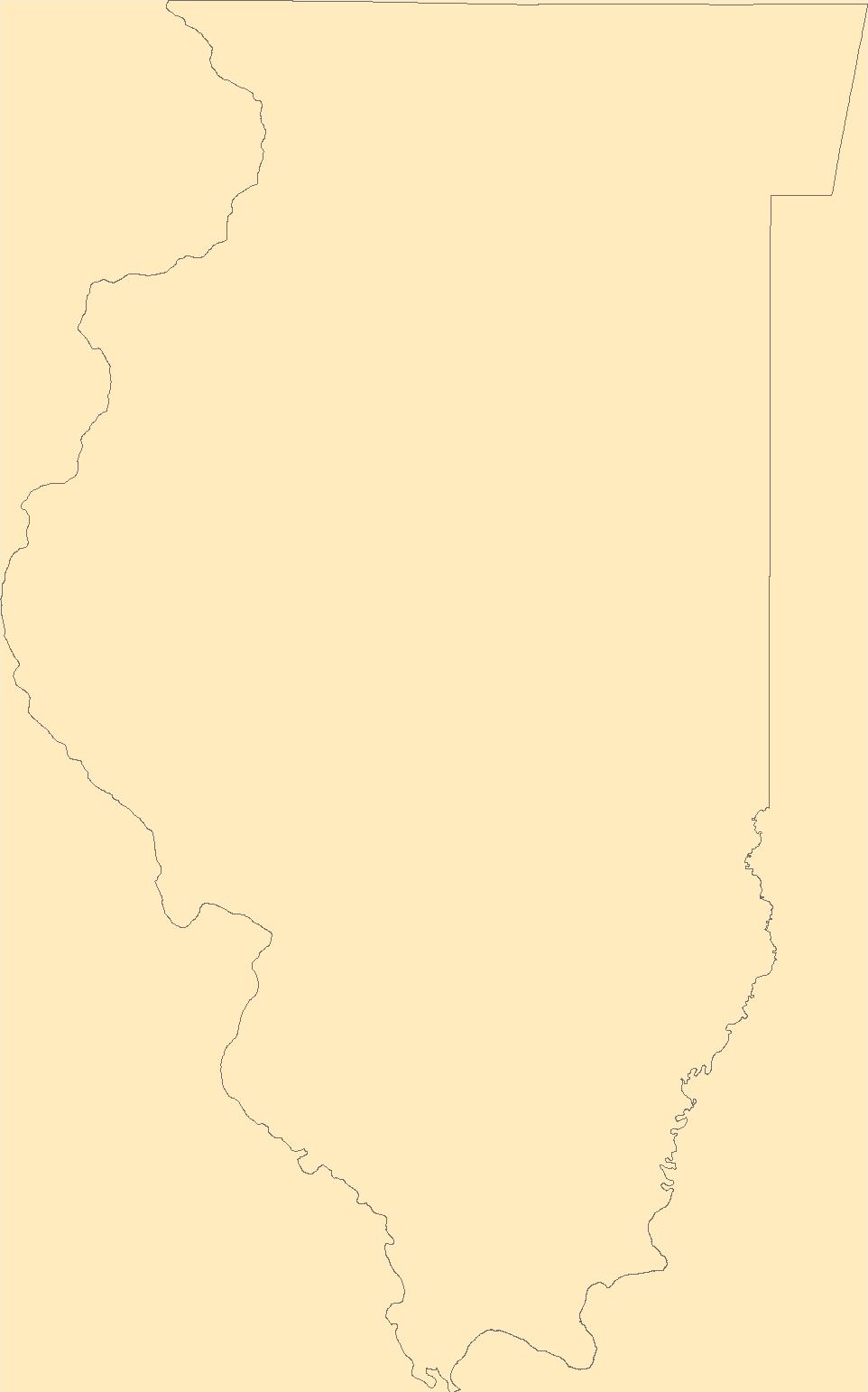
The Geographic Names Information System (GNIS) is the Federal standard for geographic nomenclature. The U.S. Geological Survey developed the GNIS for the U.S. Board on Geographic Names, a Federal inter-agency body chartered by public law to maintain uniform feature name usage throughout the Government and to promulgate standard names to the public. The GNIS is the official repository of domestic geographic names data; the official vehicle for geographic names use by all departments of the Federal Government; and the source for applying geographic names to Federal electronic and printed products of all types.
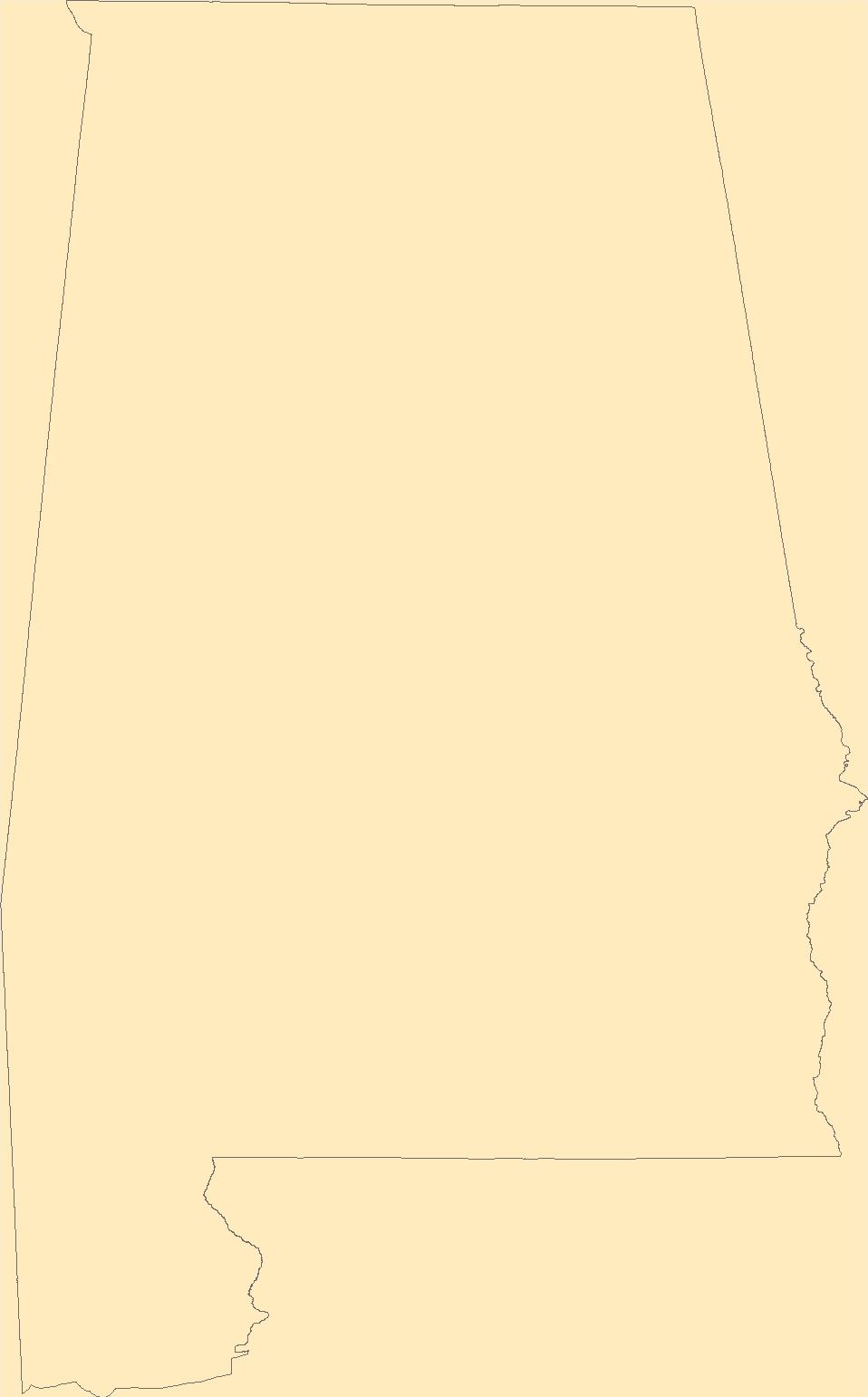
The Geographic Names Information System (GNIS) is the Federal standard for geographic nomenclature. The U.S. Geological Survey developed the GNIS for the U.S. Board on Geographic Names, a Federal inter-agency body chartered by public law to maintain uniform feature name usage throughout the Government and to promulgate standard names to the public. The GNIS is the official repository of domestic geographic names data; the official vehicle for geographic names use by all departments of the Federal Government; and the source for applying geographic names to Federal electronic and printed products of all types.
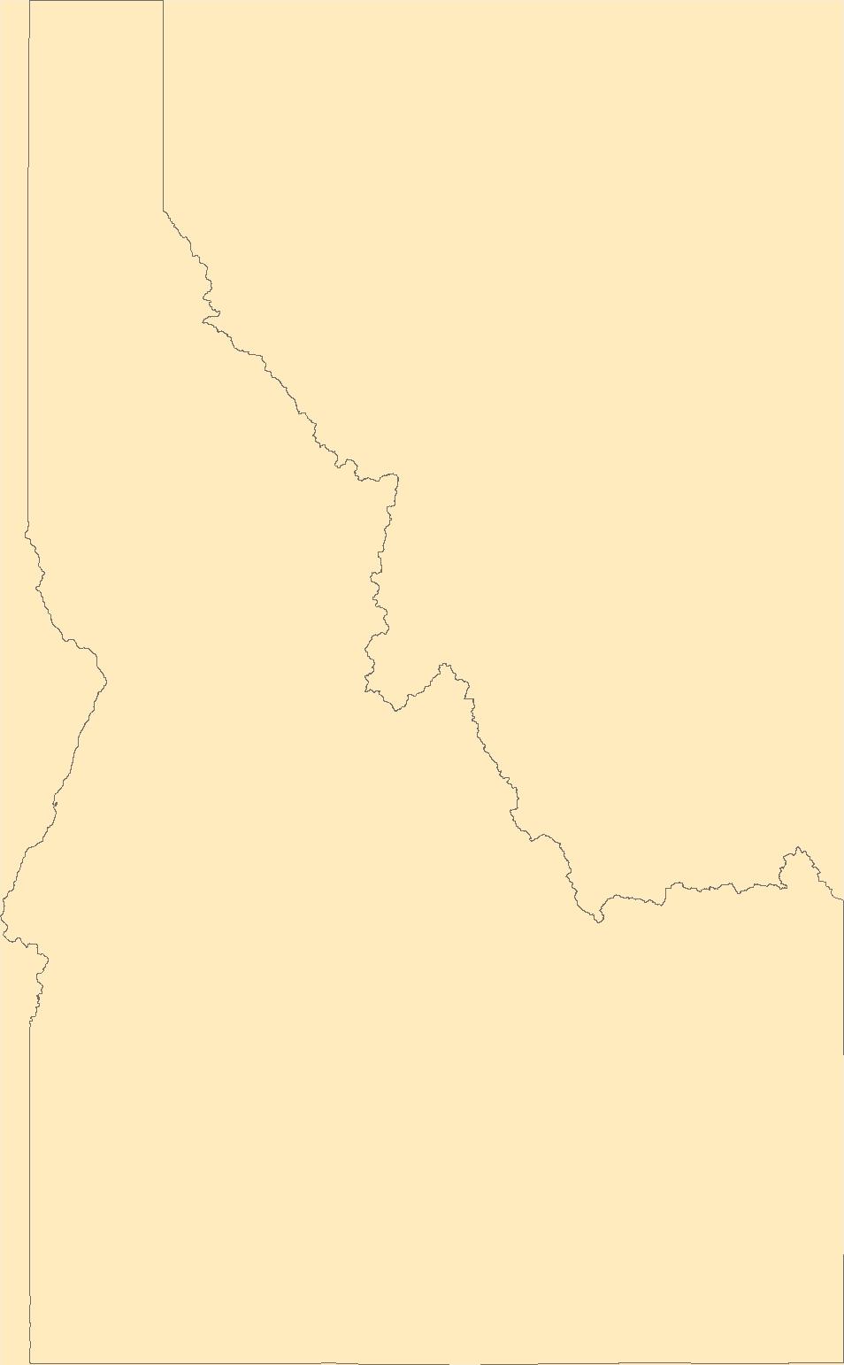
The Geographic Names Information System (GNIS) is the Federal standard for geographic nomenclature. The U.S. Geological Survey developed the GNIS for the U.S. Board on Geographic Names, a Federal inter-agency body chartered by public law to maintain uniform feature name usage throughout the Government and to promulgate standard names to the public. The GNIS is the official repository of domestic geographic names data; the official vehicle for geographic names use by all departments of the Federal Government; and the source for applying geographic names to Federal electronic and printed products of all types.
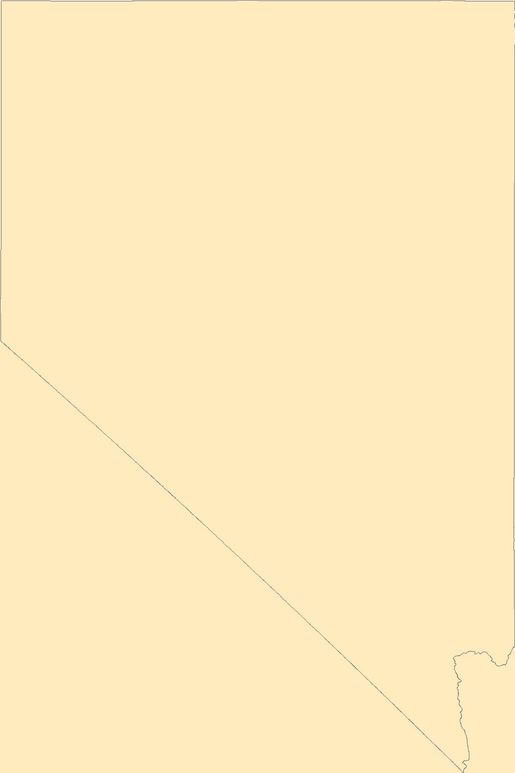
The Geographic Names Information System (GNIS) is the Federal standard for geographic nomenclature. The U.S. Geological Survey developed the GNIS for the U.S. Board on Geographic Names, a Federal inter-agency body chartered by public law to maintain uniform feature name usage throughout the Government and to promulgate standard names to the public. The GNIS is the official repository of domestic geographic names data; the official vehicle for geographic names use by all departments of the Federal Government; and the source for applying geographic names to Federal electronic and printed products of all types.
The Geographic Names Information System (GNIS) is the Federal standard for geographic nomenclature. The U.S. Geological Survey developed the GNIS for the U.S. Board on Geographic Names, a Federal inter-agency body chartered by public law to maintain uniform feature name usage throughout the Government and to promulgate standard names to the public. The GNIS is the official repository of domestic geographic names data; the official vehicle for geographic names use by all departments of the Federal Government; and the source for applying geographic names to Federal electronic and printed products of all types.

The Geographic Names Information System (GNIS) is the Federal standard for geographic nomenclature. The U.S. Geological Survey developed the GNIS for the U.S. Board on Geographic Names, a Federal inter-agency body chartered by public law to maintain uniform feature name usage throughout the Government and to promulgate standard names to the public. The GNIS is the official repository of domestic geographic names data; the official vehicle for geographic names use by all departments of the Federal Government; and the source for applying geographic names to Federal electronic and printed products of all types.
|

|