Filters: Tags: El Mirage (X)
26 results (73ms)|
Filters
Date Range
Types Contacts
Categories Tag Types Tag Schemes |
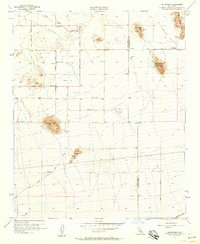
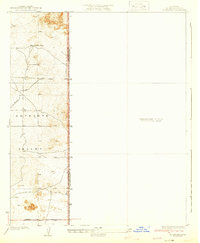
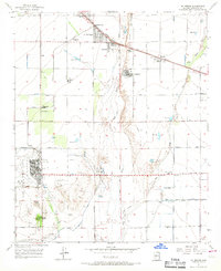
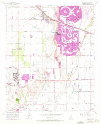
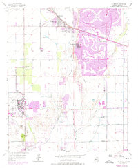
USGS Historical Quadrangle in GeoPDF.
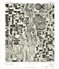
This data set contains imagery from the National Agriculture Imagery Program (NAIP). The NAIP program is administered by USDA FSA and has been established to support two main FSA strategic goals centered on agricultural production. These are, increase stewardship of America's natural resources while enhancing the environment, and to ensure commodities are procured and distributed effectively and efficiently to increase food security. The NAIP program supports these goals by acquiring and providing ortho imagery that has been collected during the agricultural growing season in the U.S. The NAIP ortho imagery is tailored to meet FSA requirements and is a fundamental tool used to support FSA farm and conservation programs....
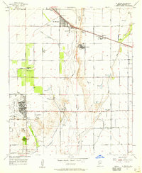
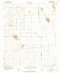
USGS Historical Quadrangle in GeoPDF.
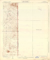
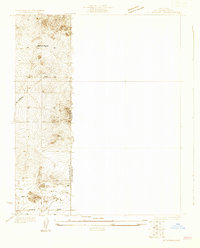
USGS Historical Quadrangle in GeoPDF.
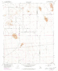
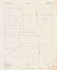
USGS Historical Quadrangle in GeoPDF.
USGS Historical Quadrangle in GeoPDF.
USGS Historical Quadrangle in GeoPDF.
USGS Historical Quadrangle in GeoPDF.
USGS Historical Quadrangle in GeoPDF.
USGS Historical Quadrangle in GeoPDF.
These data on the concentrations of 27 selected elements were collected using a field portable (handheld) X-ray fluorescence (pXRF) instrument (Groover and Izbicki, 2016) equipped with a 4-watt Ta/Au X-ray tube on samples of 1) surficial alluvium, 2) rock, and 3) archived core material and drill cuttings from monitoring wells across an approximately 14,300 square kilometer area in the western part of the Mojave Desert, between 60 to 210 kilometers (km) northeast of Los Angeles, California. These samples were measured using a pXRF as part of a regional-scale investigation of naturally-occurring trace elements (including arsenic, chromium, and uranium) dissolved in groundwater (Groover and Izbicki, 2018), and a local-scale...
Types: Map Service,
OGC WFS Layer,
OGC WMS Layer,
OGC WMS Service;
Tags: Arsenic,
Barstow,
California (CA),
Chromium,
El Mirage,
This data set contains imagery from the National Agriculture Imagery Program (NAIP). The NAIP program is administered by USDA FSA and has been established to support two main FSA strategic goals centered on agricultural production. These are, increase stewardship of America's natural resources while enhancing the environment, and to ensure commodities are procured and distributed effectively and efficiently to increase food security. The NAIP program supports these goals by acquiring and providing ortho imagery that has been collected during the agricultural growing season in the U.S. The NAIP ortho imagery is tailored to meet FSA requirements and is a fundamental tool used to support FSA farm and conservation programs....
This data set contains imagery from the National Agriculture Imagery Program (NAIP). The NAIP program is administered by USDA FSA and has been established to support two main FSA strategic goals centered on agricultural production. These are, increase stewardship of America's natural resources while enhancing the environment, and to ensure commodities are procured and distributed effectively and efficiently to increase food security. The NAIP program supports these goals by acquiring and providing ortho imagery that has been collected during the agricultural growing season in the U.S. The NAIP ortho imagery is tailored to meet FSA requirements and is a fundamental tool used to support FSA farm and conservation programs....
This data set contains imagery from the National Agriculture Imagery Program (NAIP). The NAIP program is administered by USDA FSA and has been established to support two main FSA strategic goals centered on agricultural production. These are, increase stewardship of America's natural resources while enhancing the environment, and to ensure commodities are procured and distributed effectively and efficiently to increase food security. The NAIP program supports these goals by acquiring and providing ortho imagery that has been collected during the agricultural growing season in the U.S. The NAIP ortho imagery is tailored to meet FSA requirements and is a fundamental tool used to support FSA farm and conservation programs....
USGS Historical Quadrangle in GeoPDF.
USGS Historical Quadrangle in GeoPDF.
USGS Historical Quadrangle in GeoPDF.
This data set contains imagery from the National Agriculture Imagery Program (NAIP). The NAIP program is administered by USDA FSA and has been established to support two main FSA strategic goals centered on agricultural production. These are, increase stewardship of America's natural resources while enhancing the environment, and to ensure commodities are procured and distributed effectively and efficiently to increase food security. The NAIP program supports these goals by acquiring and providing ortho imagery that has been collected during the agricultural growing season in the U.S. The NAIP ortho imagery is tailored to meet FSA requirements and is a fundamental tool used to support FSA farm and conservation programs....
USGS Historical Quadrangle in GeoPDF.
These data were collected using field portable (handheld) X-ray fluorescence (pXRF) equipped with a 4-watt Ta/Au X-ray tube. Samples of surficial alluvium, rock, and archived drill cuttings from monitoring wells in the western part of the Mojave Desert, 60 to 210 kilometers (km) northeast of Los Angeles, California, were measured using as part of an investigation of naturally-occurring trace elements dissolved in groundwater. Surficial alluvium samples were collected from small stream channels draining distinct geologic units, or from previously mapped river deposits, and generally consisted of silt, sand, and granules to small pebbles. Twigs and other detritus were removed prior to measurement. Rocks were collected...
|

|
