Filters: Tags: El Paso County (X) > Types: Citation (X)
155 results (97ms)|
Filters
Date Range
Types Contacts
Categories Tag Types Tag Schemes |
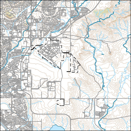
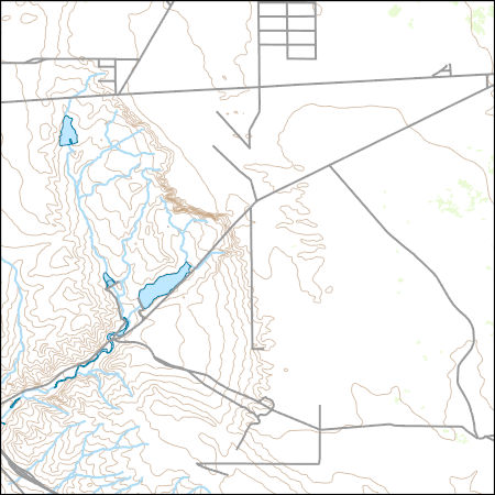
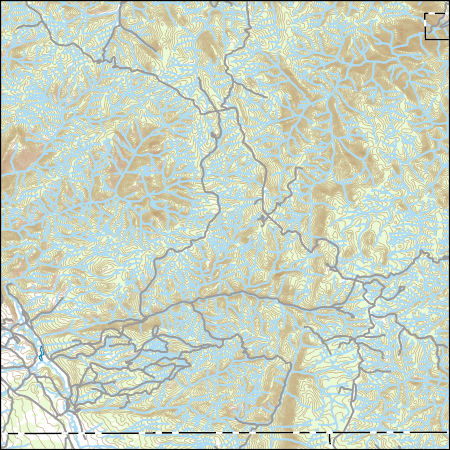
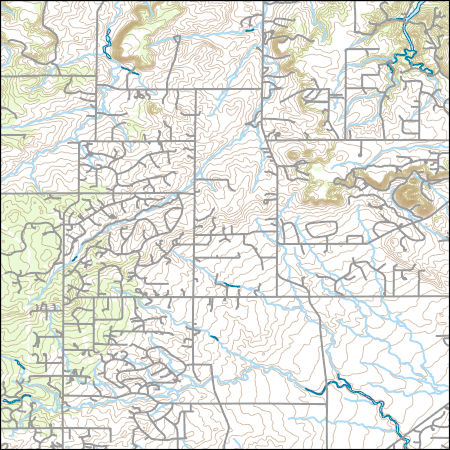
Layers of geospatial data include contours, boundaries, land cover, hydrography, roads, transportation, geographic names, structures, and other selected map features.
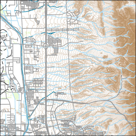
Layers of geospatial data include contours, boundaries, land cover, hydrography, roads, transportation, geographic names, structures, and other selected map features.
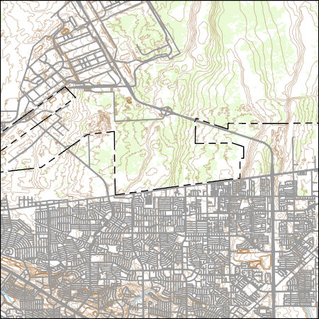
Layers of geospatial data include contours, boundaries, land cover, hydrography, roads, transportation, geographic names, structures, and other selected map features.
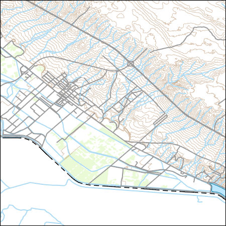
Layers of geospatial data include contours, boundaries, land cover, hydrography, roads, transportation, geographic names, structures, and other selected map features.
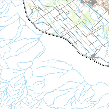
Layers of geospatial data include contours, boundaries, land cover, hydrography, roads, transportation, geographic names, structures, and other selected map features.
Types: Citation;
Tags: 7.5 x 7.5 minute,
7_5_Min,
Combined Vector,
Combined Vector,
Combined Vector,
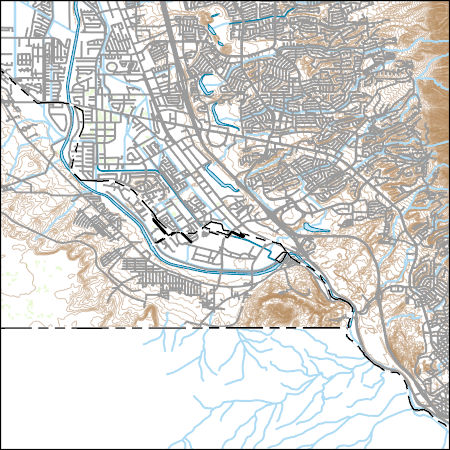
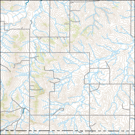
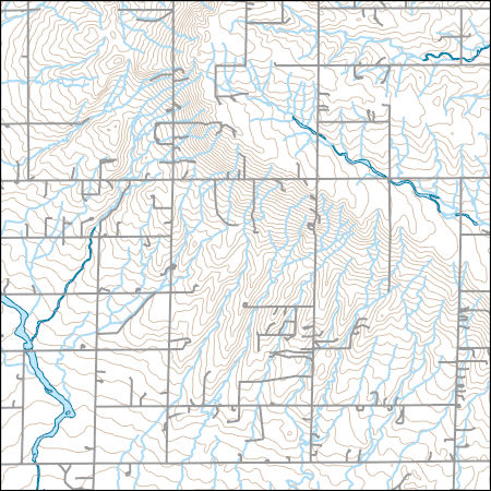
Layers of geospatial data include contours, boundaries, land cover, hydrography, roads, transportation, geographic names, structures, and other selected map features.
Types: Citation;
Tags: 7.5 x 7.5 minute,
7_5_Min,
Combined Vector,
Combined Vector,
Combined Vector,
Layers of geospatial data include contours, boundaries, land cover, hydrography, roads, transportation, geographic names, structures, and other selected map features.
Types: Citation;
Tags: 7.5 x 7.5 minute,
7_5_Min,
Combined Vector,
Combined Vector,
Combined Vector,
Layers of geospatial data include contours, boundaries, land cover, hydrography, roads, transportation, geographic names, structures, and other selected map features.
Types: Citation;
Tags: 7.5 x 7.5 minute,
7_5_Min,
Combined Vector,
Combined Vector,
Combined Vector,
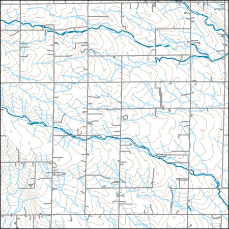
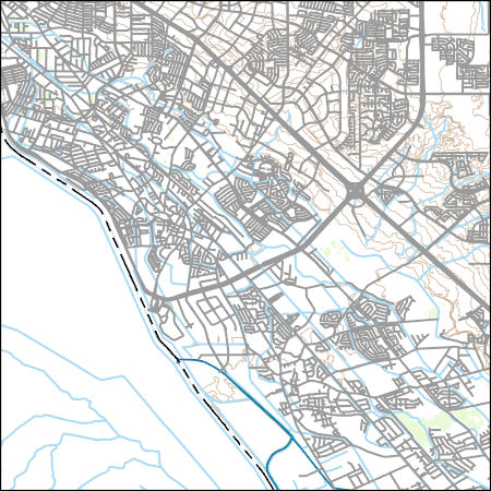
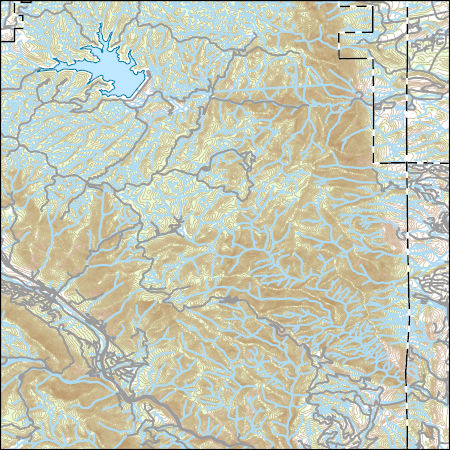
Layers of geospatial data include contours, boundaries, land cover, hydrography, roads, transportation, geographic names, structures, and other selected map features.
Types: Citation;
Tags: 7.5 x 7.5 minute,
7_5_Min,
Combined Vector,
Combined Vector,
Combined Vector,
Layers of geospatial data include contours, boundaries, land cover, hydrography, roads, transportation, geographic names, structures, and other selected map features.
Types: Citation;
Tags: 7.5 x 7.5 minute,
7_5_Min,
Combined Vector,
Combined Vector,
Combined Vector,
In 2012, the U.S. Geological Survey (USGS) in cooperation with Colorado Springs Utilities selected 10 reaches or study areas along Fountain Creek between Colorado Springs and the confluence of Fountain Creek at the Arkansas River for annual bed and bank characterization and topographic surveys. The 10 selected study areas are approximately 5 to 20 bank-full channel widths in length. The topographic surveys collected point data of location and elevation in the active channel and along both left and right banks and flood plains. Starting in 2012, USGS personnel have collected topographic survey data annually during the winter, spring, or summer using real-time kinematic Global Navigation Satellite Systems. These point...
Types: Citation,
Map Service,
OGC WFS Layer,
OGC WMS Layer,
OGC WMS Service;
Tags: Colorado,
Colorado Springs,
El Paso County,
Fountain,
Fountain Creek,
In 2012, the U.S. Geological Survey (USGS) Colorado Water Science Center in cooperation with Colorado Springs Utilities selected 10 reaches or study area along Fountain Creek between Colorado Springs and the confluence of Fountain Creek at the Arkansas River for annual bed and bank characterization and topographic surveys. The 10 selected study areas are approximately 5 to 20 bank-full channel widths in length. The topographic surveys collected point data of location and elevation in the active channel and along both left and right banks and flood plains. Historically, the topographic data have been collected exclusively using real-time kinematic Global Navigation Satellite Systems. However, on January 12, 2017,...
Types: Citation,
Map Service,
OGC WFS Layer,
OGC WMS Layer,
OGC WMS Service;
Tags: Colorado,
Colorado Springs,
El Paso County,
Fountain,
Fountain Creek,
In 2012, the U.S. Geological Survey (USGS) in cooperation with Colorado Springs Utilities selected 10 reaches or study areas along Fountain Creek between Colorado Springs and the confluence of Fountain Creek at the Arkansas River for annual bed and bank characterization and topographic surveys. The 10 selected study areas are approximately 5 to 20 bank-full channel widths in length. The topographic surveys collected point data of location and elevation in the active channel and along both left and right banks and flood plains. Starting in 2012, USGS personnel have collected topographic survey data annually during the winter, spring, spring, or summer using real-time kinematic Global Navigation Satellite Systems....
Types: Citation,
Map Service,
OGC WFS Layer,
OGC WMS Layer,
OGC WMS Service;
Tags: Colorado,
Colorado Springs,
El Paso County,
Fountain,
Fountain Creek,
Layers of geospatial data include contours, boundaries, land cover, hydrography, roads, transportation, geographic names, structures, and other selected map features.
Types: Citation;
Tags: 7.5 x 7.5 minute,
7_5_Min,
Combined Vector,
Combined Vector,
Combined Vector,
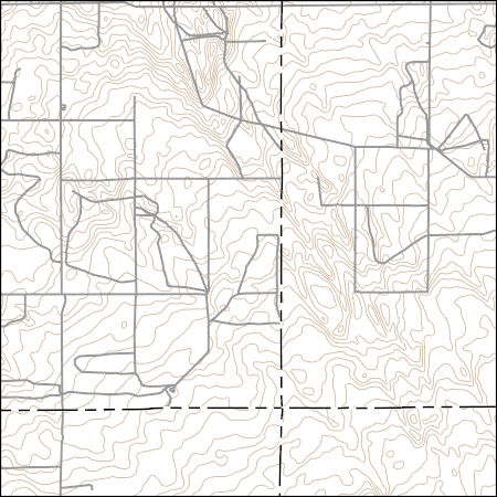
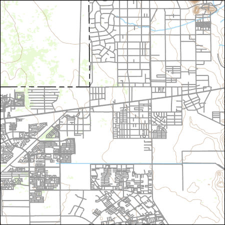
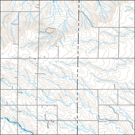
Layers of geospatial data include contours, boundaries, land cover, hydrography, roads, transportation, geographic names, structures, and other selected map features.
Types: Citation;
Tags: 7.5 x 7.5 minute,
7_5_Min,
Combined Vector,
Combined Vector,
Combined Vector,
Layers of geospatial data include contours, boundaries, land cover, hydrography, roads, transportation, geographic names, structures, and other selected map features.
Layers of geospatial data include contours, boundaries, land cover, hydrography, roads, transportation, geographic names, structures, and other selected map features.
Layers of geospatial data include contours, boundaries, land cover, hydrography, roads, transportation, geographic names, structures, and other selected map features.
Layers of geospatial data include contours, boundaries, land cover, hydrography, roads, transportation, geographic names, structures, and other selected map features.
Layers of geospatial data include contours, boundaries, land cover, hydrography, roads, transportation, geographic names, structures, and other selected map features.
|

|
