Filters
Date Range
Types
Contacts
Tag Types
Tag Schemes
|
This data set contains imagery from the National Agriculture Imagery Program (NAIP). The NAIP program is administered by USDA FSA and has been established to support two main FSA strategic goals centered on agricultural production. These are, increase stewardship of America's natural resources while enhancing the environment, and to ensure commodities are procured and distributed effectively and efficiently to increase food security. The NAIP program supports these goals by acquiring and providing ortho imagery that has been collected during the agricultural growing season in the U.S. The NAIP ortho imagery is tailored to meet FSA requirements and is a fundamental tool used to support FSA farm and conservation programs....
Types: Citation;
Tags: 08109,
3.75 x 3.75 minute,
3810658,
Aerial Compliance,
CO, All tags...
CO109,
Compliance,
Digital Ortho rectified Image,
Downloadable Data,
ELK PARK,
ELK PARK, SE,
JPEG2000,
NAIP,
Ortho Rectification,
Orthoimagery,
Quarter Quadrangle,
SAGUACHE CO CO FSA,
Saguache,
USDA National Agriculture Imagery Program (NAIP),
farming, Fewer tags

This data set contains imagery from the National Agriculture Imagery Program (NAIP). The NAIP program is administered by USDA FSA and has been established to support two main FSA strategic goals centered on agricultural production. These are, increase stewardship of America's natural resources while enhancing the environment, and to ensure commodities are procured and distributed effectively and efficiently to increase food security. The NAIP program supports these goals by acquiring and providing ortho imagery that has been collected during the agricultural growing season in the U.S. The NAIP ortho imagery is tailored to meet FSA requirements and is a fundamental tool used to support FSA farm and conservation programs....
Types: Citation;
Tags: 3.75 x 3.75 minute,
4010911,
49047,
Aerial Compliance,
Compliance, All tags...
Digital Ortho rectified Image,
Downloadable Data,
ELK PARK,
ELK PARK, SW,
JPEG2000,
NAIP,
Ortho Rectification,
Orthoimagery,
Quarter Quadrangle,
UINTAH CO UT FSA,
USDA National Agriculture Imagery Program (NAIP),
UT,
UT047,
Uintah,
farming, Fewer tags
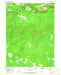
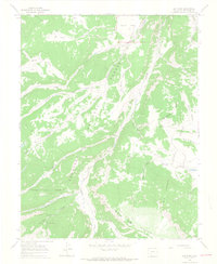
USGS Historical Quadrangle in GeoPDF.
Tags: 7.5 x 7.5 minute,
Downloadable Data,
Elk Park,
GeoPDF,
GeoTIFF, All tags...
Historical Topographic Maps,
Historical Topographic Maps 7.5 x 7.5 Minute Map Series,
Map,
NC,
imageryBaseMapsEarthCover, Fewer tags
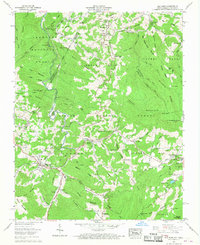
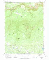
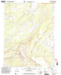
USGS Historical Quadrangle in GeoPDF.
Tags: 7.5 x 7.5 minute,
CO,
Downloadable Data,
Elk Park,
GeoPDF, All tags...
GeoTIFF,
Historical Topographic Maps,
Historical Topographic Maps 7.5 x 7.5 Minute Map Series,
Map,
imageryBaseMapsEarthCover, Fewer tags
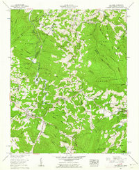
The geology of an area of 660 square miles mostly in the northeastern corner of Tennessee and small adjacent areas in Virginia and North Carolina is the subject of this report. The region lies principally in the Unaka province, with extensions northwestward into the Appalachian Valley and southwestward into the Blue Ridge province. The report combines results of surveys made between 1941 and 1953 by the U. S. Geological Survey, the Tennessee Division of Geology, and the Tennessee Valley Authority, and is published in cooperation with the Tennessee Division of Geology. Northeasternmost Tennessee is a region of widespread mineralization and was formerly important for mineral production. Iron, manganese, and bauxite...
Tags: Abingdon,
Alluvium,
Andesite,
Argillite,
Arkose, All tags...
Austinville,
Baldwin Gap,
Blue Ridge,
Bluff City,
Bristol,
Cambrian,
Carbonate rock,
Carter,
Cenozoic,
Chert,
Conglomerate,
Conococheague Limestone,
Damascus,
Doe,
Dolostone,
Economic Geology,
Elbrook Dolomite,
Elizabethton,
Elk Mills,
Elk Park,
Erwin,
Erwin Formation,
Flaser gneiss,
Gneiss,
Granite,
Granodiorite,
Gravel,
Grayson,
Graywacke,
Greenstone,
Hampton,
Hampton Formation,
Holston Valley,
Honaker Dolomite,
Iron Mountain Gap,
Iron Mountains,
Jonesboro Limestone,
Keenburg,
Konnarock,
Latite,
Laurel Bloomery,
Lenoir Limestone,
Limestone,
Lucy Creek,
Lynn Mountain,
Migmatite,
Mill Creek,
Mount Rogers volcanic group,
Mountain City,
Mylonite,
Nolichucky Shale,
North Carolina,
Ordovician,
Paleozoic,
Phyllite,
Phyllonite,
Precambrian,
Quartz monzonite,
Quartzite,
Quaternary,
Rhyolite,
Rome Formation,
Sandstone,
Schist,
Shady Dolomite,
Shady Valley,
Shale,
Sherwood,
Siltstone,
Slate,
South Holston Lake,
Stone Mountain,
Stratigraphy,
Structural Geology,
Talus,
Tennessee,
Tertiary,
Tuff,
USGS Science Data Catalog (SDC),
Unicoi Formation,
Valley Forge,
Virginia,
Watauga,
White Rocks Mountain,
Zionville,
iron,
manganese,
metamorphic rocks,
metamorphism (geological),
plutonic rocks,
sedimentary rocks,
unconsolidated deposits,
volcanic rocks,
zinc, Fewer tags
This data set contains imagery from the National Agriculture Imagery Program (NAIP). The NAIP program is administered by USDA FSA and has been established to support two main FSA strategic goals centered on agricultural production. These are, increase stewardship of America's natural resources while enhancing the environment, and to ensure commodities are procured and distributed effectively and efficiently to increase food security. The NAIP program supports these goals by acquiring and providing ortho imagery that has been collected during the agricultural growing season in the U.S. The NAIP ortho imagery is tailored to meet FSA requirements and is a fundamental tool used to support FSA farm and conservation programs....
Types: Citation;
Tags: 08109,
3.75 x 3.75 minute,
3810658,
Aerial Compliance,
CO, All tags...
CO109,
Compliance,
Digital Ortho rectified Image,
Downloadable Data,
ELK PARK,
ELK PARK, SW,
JPEG2000,
NAIP,
Ortho Rectification,
Orthoimagery,
Quarter Quadrangle,
SAGUACHE CO CO FSA,
Saguache,
USDA National Agriculture Imagery Program (NAIP),
farming, Fewer tags
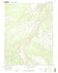
USGS Historical Quadrangle in GeoPDF.
Tags: 7.5 x 7.5 minute,
Downloadable Data,
Elk Park,
GeoPDF,
GeoTIFF, All tags...
Historical Topographic Maps,
Historical Topographic Maps 7.5 x 7.5 Minute Map Series,
Map,
UT,
imageryBaseMapsEarthCover, Fewer tags
USGS Historical Quadrangle in GeoPDF.
Tags: 7.5 x 7.5 minute,
CO,
Downloadable Data,
Elk Park,
GeoPDF, All tags...
GeoTIFF,
Historical Topographic Maps,
Historical Topographic Maps 7.5 x 7.5 Minute Map Series,
Map,
imageryBaseMapsEarthCover, Fewer tags
This data set contains imagery from the National Agriculture Imagery Program (NAIP). The NAIP program is administered by USDA FSA and has been established to support two main FSA strategic goals centered on agricultural production. These are, increase stewardship of America's natural resources while enhancing the environment, and to ensure commodities are procured and distributed effectively and efficiently to increase food security. The NAIP program supports these goals by acquiring and providing ortho imagery that has been collected during the agricultural growing season in the U.S. The NAIP ortho imagery is tailored to meet FSA requirements and is a fundamental tool used to support FSA farm and conservation programs....
Types: Citation;
Tags: 08109,
3.75 x 3.75 minute,
3810658,
Aerial Compliance,
CO, All tags...
CO109,
Compliance,
Digital Ortho rectified Image,
Downloadable Data,
ELK PARK,
ELK PARK, NW,
JPEG2000,
NAIP,
Ortho Rectification,
Orthoimagery,
Quarter Quadrangle,
SAGUACHE CO CO FSA,
Saguache,
USDA National Agriculture Imagery Program (NAIP),
farming, Fewer tags
USGS Historical Quadrangle in GeoPDF.
Tags: 7.5 x 7.5 minute,
Downloadable Data,
Elk Park,
GeoPDF,
GeoTIFF, All tags...
Historical Topographic Maps,
Historical Topographic Maps 7.5 x 7.5 Minute Map Series,
Map,
UT,
imageryBaseMapsEarthCover, Fewer tags

This data set contains imagery from the National Agriculture Imagery Program (NAIP). The NAIP program is administered by USDA FSA and has been established to support two main FSA strategic goals centered on agricultural production. These are, increase stewardship of America's natural resources while enhancing the environment, and to ensure commodities are procured and distributed effectively and efficiently to increase food security. The NAIP program supports these goals by acquiring and providing ortho imagery that has been collected during the agricultural growing season in the U.S. The NAIP ortho imagery is tailored to meet FSA requirements and is a fundamental tool used to support FSA farm and conservation programs....
Types: Citation;
Tags: 3.75 x 3.75 minute,
4010911,
49047,
Aerial Compliance,
Compliance, All tags...
Digital Ortho rectified Image,
Downloadable Data,
ELK PARK,
ELK PARK, NE,
JPEG2000,
NAIP,
Ortho Rectification,
Orthoimagery,
Quarter Quadrangle,
UINTAH CO UT FSA,
USDA National Agriculture Imagery Program (NAIP),
UT,
UT047,
Uintah,
farming, Fewer tags
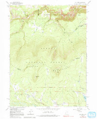
USGS Historical Quadrangle in GeoPDF.
Tags: 7.5 x 7.5 minute,
Downloadable Data,
Elk Park,
GeoPDF,
GeoTIFF, All tags...
Historical Topographic Maps,
Historical Topographic Maps 7.5 x 7.5 Minute Map Series,
Map,
UT,
imageryBaseMapsEarthCover, Fewer tags
USGS Historical Quadrangle in GeoPDF.
Tags: 7.5 x 7.5 minute,
Downloadable Data,
Elk Park,
GeoPDF,
GeoTIFF, All tags...
Historical Topographic Maps,
Historical Topographic Maps 7.5 x 7.5 Minute Map Series,
Map,
UT,
imageryBaseMapsEarthCover, Fewer tags
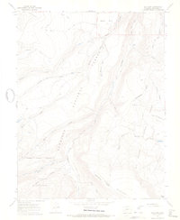
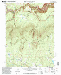
USGS Historical Quadrangle in GeoPDF.
Tags: 15 x 15 minute,
Downloadable Data,
Elk Park,
GeoPDF,
GeoTIFF, All tags...
Historical Topographic Maps,
Historical Topographic Maps 15 x 15 Minute Map Series,
MT,
Map,
imageryBaseMapsEarthCover, Fewer tags
USGS Historical Quadrangle in GeoPDF.
Tags: 7.5 x 7.5 minute,
CO,
Downloadable Data,
Elk Park,
GeoPDF, All tags...
GeoTIFF,
Historical Topographic Maps,
Historical Topographic Maps 7.5 x 7.5 Minute Map Series,
Map,
imageryBaseMapsEarthCover, Fewer tags
This data set contains imagery from the National Agriculture Imagery Program (NAIP). The NAIP program is administered by USDA FSA and has been established to support two main FSA strategic goals centered on agricultural production. These are increase stewardship of America's natural resources while enhancing the environment, and to ensure commodities are procured and distributed effectively and efficiently to increase food security. The NAIP program supports these goals by acquiring and providing ortho imagery that has been collected during the agricultural growing season in the U.S. The NAIP ortho imagery is tailored to meet FSA requirements and is a fundamental tool used to support FSA farm and conservation programs....
Types: Citation;
Tags: 3.75 x 3.75 minute,
3608149,
47019,
Aerial Compliance,
CARTER CO TN FSA, All tags...
Carter,
Compliance,
Digital Ortho rectified Image,
Downloadable Data,
ELK PARK,
ELK PARK, SW,
JPEG 2000,
JPEG2000,
NAIP,
Ortho Rectification,
Orthoimagery,
Quarter Quadrangle,
TN,
TN019,
USDA National Agriculture Imagery Program (NAIP),
farming,
imageryBaseMapsEarthCover, Fewer tags

This data set contains imagery from the National Agriculture Imagery Program (NAIP). The NAIP program is administered by USDA FSA and has been established to support two main FSA strategic goals centered on agricultural production. These are, increase stewardship of America's natural resources while enhancing the environment, and to ensure commodities are procured and distributed effectively and efficiently to increase food security. The NAIP program supports these goals by acquiring and providing ortho imagery that has been collected during the agricultural growing season in the U.S. The NAIP ortho imagery is tailored to meet FSA requirements and is a fundamental tool used to support FSA farm and conservation programs....
Types: Citation;
Tags: 3.75 x 3.75 minute,
4010911,
49047,
Aerial Compliance,
Compliance, All tags...
Digital Ortho rectified Image,
Downloadable Data,
ELK PARK,
ELK PARK, SE,
JPEG2000,
NAIP,
Ortho Rectification,
Orthoimagery,
Quarter Quadrangle,
UINTAH CO UT FSA,
USDA National Agriculture Imagery Program (NAIP),
UT,
UT047,
Uintah,
farming, Fewer tags
USGS Historical Quadrangle in GeoPDF.
Tags: 7.5 x 7.5 minute,
CO,
Downloadable Data,
Elk Park,
GeoPDF, All tags...
GeoTIFF,
Historical Topographic Maps,
Historical Topographic Maps 7.5 x 7.5 Minute Map Series,
Map,
imageryBaseMapsEarthCover, Fewer tags
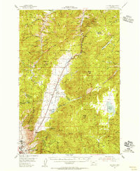
USGS Historical Quadrangle in GeoPDF.
Tags: 7.5 x 7.5 minute,
Downloadable Data,
Elk Park,
GeoPDF,
GeoTIFF, All tags...
Historical Topographic Maps,
Historical Topographic Maps 7.5 x 7.5 Minute Map Series,
Map,
NC,
imageryBaseMapsEarthCover, Fewer tags

USGS Historical Quadrangle in GeoPDF.
Tags: 7.5 x 7.5 minute,
Downloadable Data,
Elk Park,
GeoPDF,
GeoTIFF, All tags...
Historical Topographic Maps,
Historical Topographic Maps 7.5 x 7.5 Minute Map Series,
Map,
NC,
imageryBaseMapsEarthCover, Fewer tags
|
|

