Filters: Tags: Environment (X) > Date Range: {"choice":"week"} (X)
79 results (61ms)|
Filters
Date Types (for Date Range)
Types
Contacts
Categories Tag Types
|
The data release consists of two companion air and water temperature datasets collected as part of the U.S. Geological Survey (USGS) Next Generation Water Observing System (NGWOS) program with data from both the Little Lehigh and White Clay Creek Watersheds in the Delaware River Basin. Data consists of 15-minute temperature data during the 7/2021 – 12/2022 study period for 21 air and 49 water locations (which include 6 continuous monitoring USGS streamgages) in the Little Lehigh Creek watershed and 8/2021 – 1/2023 for 28 air and 36 surface water locations (including 6 continuous monitoring USGS streamgages) in the White Clay Creek watershed. Datalogger installation locations for surface water locations were targeted...
Categories: Data;
Tags: Air Temperature,
Continuous Data,
Delaware River Basin,
Hydrology,
Pennsylvania,
This dataset consists of one table with annual counts from population plots of Black-legged Kittiwakes and Common Murres at two seabird nesting colonies on Gull and Chisik Islands in lower Cook Inlet, Alaska.
This collection contains the original “raw” survey data that were recorded and transcribed by each observer during the Yukon-Kuskokwim Delta (YKD) Aerial Breeding Pair Survey. Left-front and right-front seat observers recorded data on geese, swans, and cranes since 1985, while data on eiders, ducks, and waterbirds was recorded by a right-rear seat observer since 1989. These raw transcribed data should be used to produce updated quality-control (QC) datasets by running the quality assurance/quality control script “AKaerial.R” whenever the quality control procedures are revised or modified. The data files in this collection were named using the following naming convention: YKD(YKG)YYYY_RawObs_OOOO, where YKD=Duck...
Categories: Data;
Types: Map Service,
OGC WFS Layer,
OGC WMS Layer,
OGC WMS Service;
Tags: ANIMALS/VERTEBRATES,
ANIMALS/VERTEBRATES,
BIOLOGICAL CLASSIFICATION,
BIOLOGICAL CLASSIFICATION,
BIRDS,
Streams delineated to model potential annual sediment transport and yield. Only areas with high flow accumulation values were included to model streams that are likely permanent.
This data release contains site information and potential explanatory factor data for 1,899 groundwater sites. These sites were used to assess groundwater quality in aquifers used for domestic and public drinking water supply in the southeastern San Joaquin Valley. The southeastern San Joaquin Valley (SESJV) study unit consists of five study areas whose boundaries are defined by the eponymous California Department of Water Resources groundwater subbasins of the San Joaquin Valley groundwater basin: Madera-Chowchilla, Kings, Kaweah, Tule, and Tulare Lake. The sites consist of 198 wells representing the domestic-supply aquifer and 1,701 wells representing the public-supply aquifer. The domestic-supply aquifer wells...
The High Resolution National Hydrography Dataset Plus (NHDPlus HR) is an integrated set of geospatial data layers, including the best available National Hydrography Dataset (NHD), the 10-meter 3D Elevation Program Digital Elevation Model (3DEP DEM), and the National Watershed Boundary Dataset (WBD). The NHDPlus HR combines the NHD, 3DEP DEMs, and WBD to create a stream network with linear referencing, feature naming, "value added attributes" (VAAs), elevation-derived catchments, and other features for hydrologic data analysis. The stream network with linear referencing is a system of data relationships applied to hydrographic systems so that one stream reach "flows" into another and "events" can be tied to and traced...
The data support a study that surveyed the spatial distribution of Oncorhynchus mykiss and Cottus aleuticus eDNA in coastal streams of Big Sur, California, 2021-2022 following post-fire debris flows. The metadata represent qPCR quantification cycle (Cq) values for O. mykiss and C. aleuticus assays performed on water samples collected during June and July of 2021 and 2022 from the following streams: Big Creek, Mill Creek, Prewitt Creek, and Willow Creek. The metadata also includes the distance (meters) of each eDNA sample site from the stream mouth, volume of water (Liters) collected for eDNA analysis at each site, and the Y-intercept, slope, and R-squared value for each assay run.
This dataset consists of one table with predator disturbance information from the Common Murre breeding season (June-August) from 2016-2020 on Gull Island, Kachemak Bay, Alaska.
This data release provides model inputs and outputs for a model that predicts redox conditions in groundwater in the contiguous United States. Input variables describe the hydrology, soils, geology, and hydrologic position of groundwater sample locations. The data release accompanies a journal article that describes model development and applications (Tesoriero_and_others_2023).
Categories: Data;
Tags: Hydrology,
USGS Science Data Catalog (SDC),
United States,
environment,
groundwater,
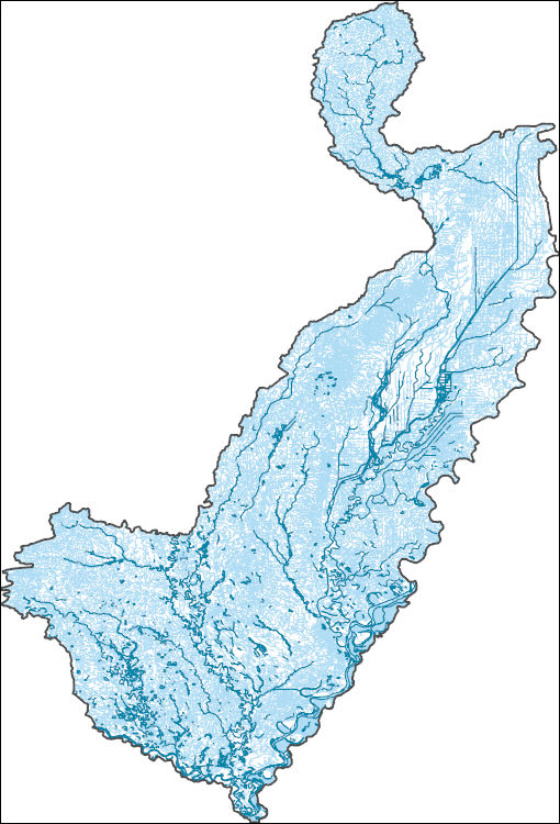
The High Resolution National Hydrography Dataset Plus (NHDPlus HR) is an integrated set of geospatial data layers, including the best available National Hydrography Dataset (NHD), the 10-meter 3D Elevation Program Digital Elevation Model (3DEP DEM), and the National Watershed Boundary Dataset (WBD). The NHDPlus HR combines the NHD, 3DEP DEMs, and WBD to create a stream network with linear referencing, feature naming, "value added attributes" (VAAs), elevation-derived catchments, and other features for hydrologic data analysis. The stream network with linear referencing is a system of data relationships applied to hydrographic systems so that one stream reach "flows" into another and "events" can be tied to and traced...
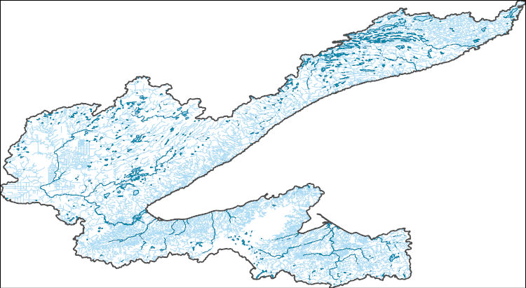
The High Resolution National Hydrography Dataset Plus (NHDPlus HR) is an integrated set of geospatial data layers, including the best available National Hydrography Dataset (NHD), the 10-meter 3D Elevation Program Digital Elevation Model (3DEP DEM), and the National Watershed Boundary Dataset (WBD). The NHDPlus HR combines the NHD, 3DEP DEMs, and WBD to create a stream network with linear referencing, feature naming, "value added attributes" (VAAs), elevation-derived catchments, and other features for hydrologic data analysis. The stream network with linear referencing is a system of data relationships applied to hydrographic systems so that one stream reach "flows" into another and "events" can be tied to and traced...
This is a comma delimited text file of the bird observations for the Arctic Coastal Plain survey. These observations have undergone an extensive quality control process that is ongoing and corrected several errors in the source data. Point observation of birds are given in coordinate reference system EPSG:4326 and are accurate only to +/- 500m. The field "Year" gives the calendar year that the survey was flown, "Stratum" gives the transect density strata name, "NavTransect" gives the transect identifier used for navigation by the pilot (this is not necessarily the same as the design transect), and "Obs_Type" is the social group (single, pair, etc.) of the bird observation, "Num" is the number of observation of...
Categories: Data;
Tags: ANIMALS/VERTEBRATES,
BIOLOGICAL CLASSIFICATION,
BIRDS,
CRANES AND ALLIES,
DUCKS/GEESE/SWANS,
This dataset summarizes impairment status for HUC12 watersheds at the CONUS scale using the EPA publicly available Assessment, Total Maximum Daily Load (TMDL) Tracking and Implementation System (ATTAINS) geospatial package and the USGS Watershed Boundary Dataset (WBD). ATTAINS is an online system maintained by the EPA containing information about the condition of the Nation’s surface waters, as reported by individual states. These data were downloaded in October 2023 and primarily reflect 2022 stream conditions. Because of the varying data types that exist in the database, an independent methodology was developed for summarizing impairment status for HUC12 watersheds using the USGS WBD as detailed in this metadata...
The Yukon-Kuskokwim Delta (YKD) Aerial Breeding Pair Survey provides data on the spring abundance of targeted waterfowl species nesting on the YKD coastal zone in western Alaska. This region supports millions of waterbirds that comprise one of the largest and most important waterfowl breeding grounds in North America, including species of concern such as the red-throated loon (Gavia stellata), emperor goose (Chen canagica), Pacific black brant (Branta bernicla nigricans), common eider (Somateria mollissima), black scoter (Melanitta nigra), long-tailed duck (Clangula hyemalis), and the threatened spectacled eider (Somateria fischeri). The YKD goose, swan, and crane survey was first implemented in 1985 to monitor...
Categories: Data,
Project;
Types: Map Service,
OGC WFS Layer,
OGC WMS Layer,
OGC WMS Service;
Tags: ANIMALS/VERTEBRATES,
ANIMALS/VERTEBRATES,
ANIMALS/VERTEBRATES,
ANIMALS/VERTEBRATES,
ANIMALS/VERTEBRATES,
This dataset includes spatial projections of the post-fire recruitment index for ponderosa pine (Pinus ponderosa) and Douglas-fir (Pseudotsuga menziesii) using climate data from different time periods (1980-1989, 1990-1999, 2000-2009, 2010-2014) and a future climate scenario of a global mean increase in temperature of two degrees Celsius. The post-fire recruitment index varies from 0 to 1 and represents the proportion of the first five years following wildfire that had climate suitable for regeneration of the given species. We chose a five-year window because the majority (69%) of recruitment across all sites in the dataset used to build our recruitment models occurred within the first five post-fire years. In the...
Categories: Data;
Tags: Pinus ponderosa,
Pseudotsuga menziesii,
US Intermountain West,
biota,
environment,
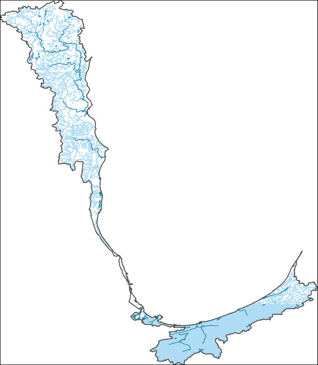
The High Resolution National Hydrography Dataset Plus (NHDPlus HR) is an integrated set of geospatial data layers, including the best available National Hydrography Dataset (NHD), the 10-meter 3D Elevation Program Digital Elevation Model (3DEP DEM), and the National Watershed Boundary Dataset (WBD). The NHDPlus HR combines the NHD, 3DEP DEMs, and WBD to create a stream network with linear referencing, feature naming, "value added attributes" (VAAs), elevation-derived catchments, and other features for hydrologic data analysis. The stream network with linear referencing is a system of data relationships applied to hydrographic systems so that one stream reach "flows" into another and "events" can be tied to and traced...
Since 2005, the U.S. Geological Survey - Great Lakes Science Center's Lake Erie Biological Station (LEBS) has participated in a collaborative, multiagency effort to assess pelagic prey fish populations in the western (WB), central (CB), and eastern (EB) basins of Lake Erie through a combination of hydroacoustic and midwater trawl sampling. Assessing lake-wide distribution and abundance of pelagic prey species over time facilitates evaluation of large-scale drivers of fish production while also considering food-web dynamics at a smaller sub-basin scale. Information from this survey will support decision making within an ecosystem-based fishery management framework. In support of binational Great Lakes fishery management,...
This collection contains the quality-control (QC) transcribed data from the Yukon-Kuskokwim Delta Aerial Breeding Pair Survey. These QC data were produced from the “raw” data using the R Package “AKaerial.” The raw data were evaluated against the current data standards in the ‘AKaerial data dictionary’ and saved to new QC data files with associated log files that document any changes that were made. From 1985 to 1997, observers recorded bird observations out to 200 meters from the aircraft using continuously running tape players (with a locational accuracy of +/- 5 km), while an automated voice recording survey program (with a spatial accuracy of +/- 0.5 km) was used to record data from 1998 to present. The data...
Categories: Data;
Types: Map Service,
OGC WFS Layer,
OGC WMS Layer,
OGC WMS Service;
Tags: ANIMALS/VERTEBRATES,
ANIMALS/VERTEBRATES,
BIOLOGICAL CLASSIFICATION,
BIOLOGICAL CLASSIFICATION,
BIRDS,
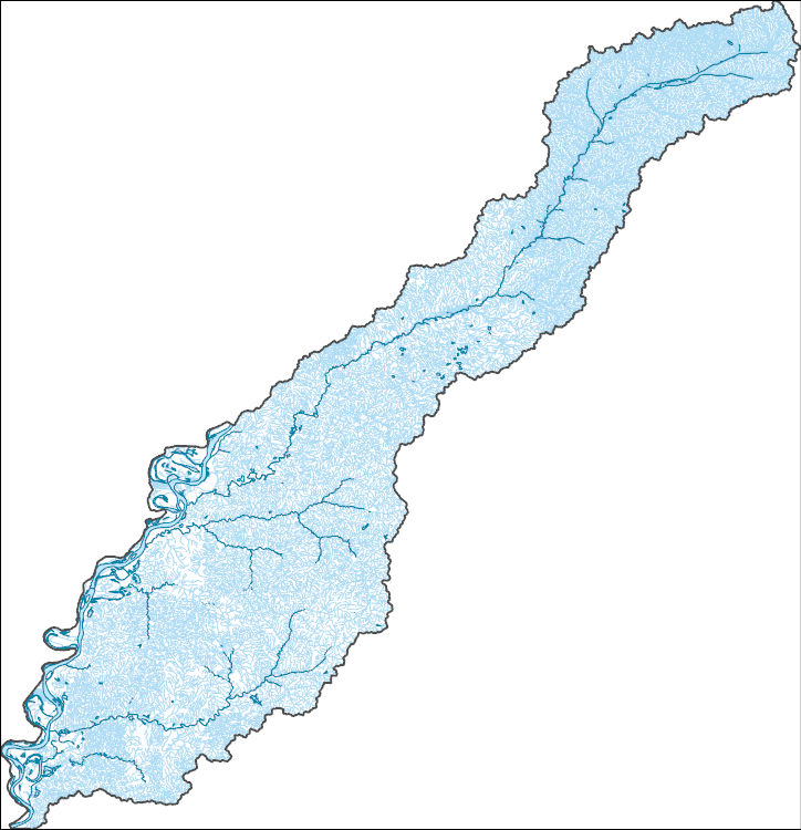
The High Resolution National Hydrography Dataset Plus (NHDPlus HR) is an integrated set of geospatial data layers, including the best available National Hydrography Dataset (NHD), the 10-meter 3D Elevation Program Digital Elevation Model (3DEP DEM), and the National Watershed Boundary Dataset (WBD). The NHDPlus HR combines the NHD, 3DEP DEMs, and WBD to create a stream network with linear referencing, feature naming, "value added attributes" (VAAs), elevation-derived catchments, and other features for hydrologic data analysis. The stream network with linear referencing is a system of data relationships applied to hydrographic systems so that one stream reach "flows" into another and "events" can be tied to and traced...
This data release is composed of seven datasets regarding colonial seabirds and forage fish at two seabird nesting colonies on Gull and Chisik Islands in lower Cook Inlet, Alaska. These data were collected to detect changes in the breeding population of Black-legged Kittiwakes and Common Murres on two nesting colonies in lower Cook Inlet and to compare those counts to baseline counts from 1995-1999. They are part of an ongoing study in lower Cook Inlet, Alaska to assess the recent status of forage fish and seabirds (2000-2020).
|

|