Filters: Tags: Escondido (X)
69 results (71ms)|
Filters
Date Range
Types Contacts
Categories Tag Types Tag Schemes |
ADMMR map collection: Lucky Cuss Geology; 8 x 10 in.
Heinrichs Geoexploration Co. Maps: Tombstone Topographic Sheet 1; 1 in. to 40 feet; 40 x 30 in.
Heinrichs Geoexploration Co. Maps: Tombstone Topographic Map; 1 in. to 200 feet; 49 x 36 in.
Heinrichs Geoexploration Co. Maps: Cooper Aerial Survey Co. Map for PBR Minerals, Inc., Sheet 3 of 4; 1 in. to 40 feet; 57 x 42 in.
ADMMR map collection: Lucky Cuss Workings; 1 in. to 200 feet; 12 x 12 in.
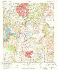
USGS Historical Quadrangle in GeoPDF.
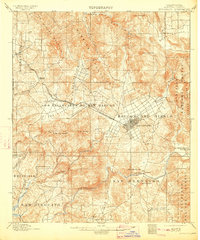
USGS Historical Quadrangle in GeoPDF.
Heinrichs Geoexploration Co. Maps: Cooper Aerial Survey Co. Map for PBR Minerals, Inc., Sheet 2 of 4; 1 in. to 40 feet; 40 x 33 in.
Heinrichs Geoexploration Co. Maps: Cooper Aerial Survey Co. Map for PBR Minerals, Inc., Sheet 1 of 1; 1 in. to 200 feet; 41 x 51 in.
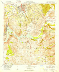
USGS Historical Quadrangle in GeoPDF.
ADMMR map collection: Lucky Cuss Underground Workings; 1 in. to 50 feet; 36 x 47 in.
ADMMR map collection: Lucky Cuss Workings 3rd Level; 1 in. to 50 feet; 19 x 33 in.
This data set contains imagery from the National Agriculture Imagery Program (NAIP). The NAIP program is administered by USDA FSA and has been established to support two main FSA strategic goals centered on agricultural production. These are, increase stewardship of America's natural resources while enhancing the environment, and to ensure commodities are procured and distributed effectively and efficiently to increase food security. The NAIP program supports these goals by acquiring and providing ortho imagery that has been collected during the agricultural growing season in the U.S. The NAIP ortho imagery is tailored to meet FSA requirements and is a fundamental tool used to support FSA farm and conservation programs....
ADMMR map collection: Lucky Cuss 3rd Level Map; 1 in. to 50 feet; 17 x 8 in.
ADMMR map collection: Lucky Cuss Workings 4th Level; 1 in. to 200 feet; 12 x 12 in.
ADMMR map collection: Lucky Cuss Underground Workings 5th; 1 in. to 50 feet; 34 x 41 in.
ADMMR map collection: Lucky Cuss Workings 2nd Level; 1 in. to 200 feet; 12 x 11 in.
ADMMR map collection: Lucky Cuss Workings; 1 in. to 50 feet; 10 x 17 in.
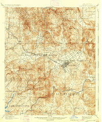
USGS Historical Quadrangle in GeoPDF.
ADMMR map collection: Lucky Cuss Workings 4th Level; 1 in. to 50 feet; 13 x 20 in.
|

|
