Filters: Tags: Fairbanks (X)
49 results (125ms)|
Filters
Date Range
Extensions Types Contacts
Categories Tag Types Tag Schemes |
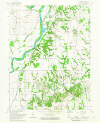
This data set contains imagery from the National Agriculture Imagery Program (NAIP). The NAIP program is administered by USDA FSA and has been established to support two main FSA strategic goals centered on agricultural production. These are, increase stewardship of America's natural resources while enhancing the environment, and to ensure commodities are procured and distributed effectively and efficiently to increase food security. The NAIP program supports these goals by acquiring and providing ortho imagery that has been collected during the agricultural growing season in the U.S. The NAIP ortho imagery is tailored to meet FSA requirements and is a fundamental tool used to support FSA farm and conservation programs....
This data set contains imagery from the National Agriculture Imagery Program (NAIP). The NAIP program is administered by USDA FSA and has been established to support two main FSA strategic goals centered on agricultural production. These are increase stewardship of America's natural resources while enhancing the environment, and to ensure commodities are procured and distributed effectively and efficiently to increase food security. The NAIP program supports these goals by acquiring and providing ortho imagery that has been collected during the agricultural growing season in the U.S. The NAIP ortho imagery is tailored to meet FSA requirements and is a fundamental tool used to support FSA farm and conservation programs....
Core Research Center, core E118, from well operated by DEPT OF DEFENSERaw Properties from download, web scrape, MapServer, and Macrostrat API{"Lib Num": "E118", "API Num": null, "Operator": "DEPT OF DEFENSE", "Well Name": "1 WY DUGHEST", "Field": "WILDCAT", "State": "WY", "County": "PLATTE", "Type": "SLABBED", "Photos": "F", "Thin Sec": "F", "Analysis": "F", "Latitude": "42.6067", "Longitude": "-105.01572", "coordinates_geohash": "9xt66k3fh2e9", "Source": "CENTER OF QUARTER SECTION", "Security Flag": "NO SPECIAL RESTRICTIONS", "crc_collection_name": "core", "sb_parent_id": "4f4e49dae4b07f02db5e0486", "intervals": [{"Formation": "HARTVILLE", "Age": "PENN", "Min Depth": "91", "Max Depth": "784"}, {"Formation": "FAIRBANKS",...
This data set contains imagery from the National Agriculture Imagery Program (NAIP). The NAIP program is administered by USDA FSA and has been established to support two main FSA strategic goals centered on agricultural production. These are, increase stewardship of America's natural resources while enhancing the environment, and to ensure commodities are procured and distributed effectively and efficiently to increase food security. The NAIP program supports these goals by acquiring and providing ortho imagery that has been collected during the agricultural growing season in the U.S. The NAIP ortho imagery is tailored to meet FSA requirements and is a fundamental tool used to support FSA farm and conservation programs....
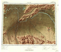
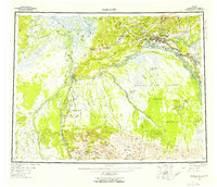
USGS Historical Quadrangle in GeoPDF.
USGS Historical Quadrangle in GeoPDF.
Field measurements of flow depth were acquired from a reach of the Salcha River in Alaska, July 25, 2019, to support research on estimating water depth from remotely sensed data via spectrally based techniques. The depth measurements included in this data release were obtained using a TRDI RiverRay acoustic Doppler current profiler (ADCP) deployed from a boat with an outboard motor. This data release provides depths derived from the raw ADCP data using the TRDI WinRiver II processing software. The spatial location of each velocity measurement was obtained using a differential GPS included as part of the RiverRay instrument package. The map projection and datum for these data are UTM Zone 6 N and NAD 83, respectively....
Categories: Data;
Types: Map Service,
OGC WFS Layer,
OGC WMS Layer,
OGC WMS Service;
Tags: Acoustic Doppler Current Profiler (ADCP),
Alaska,
Bathymetry,
Depth,
Fairbanks,
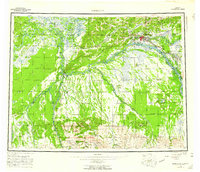
USGS Historical Quadrangle in GeoPDF.
USGS Historical Quadrangle in GeoPDF.
|

|
