Filters: Tags: Fond du Lac, WI (X)
5 results (6ms)|
Filters
Date Range
Contacts
Categories Tag Types Tag Schemes |

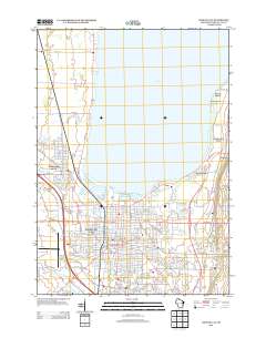
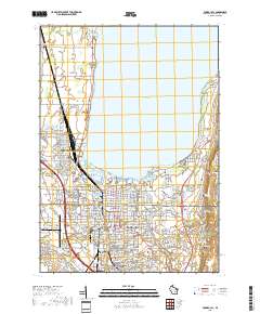
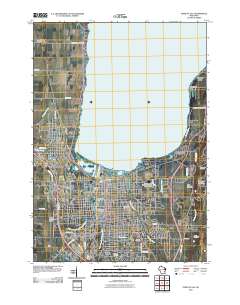
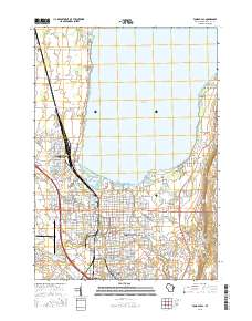
Layered GeoPDF 7.5 Minute Quadrangle Map. Layers of geospatial data include orthoimagery, roads, grids, geographic names, elevation contours, hydrography, and other selected map features.

Layered geospatial PDF 7.5 Minute Quadrangle Map. Layers of geospatial data include orthoimagery, roads, grids, geographic names, elevation contours, hydrography, and other selected map features. This map is derived from GIS (geospatial information system) data. It represents a repackaging of GIS data in traditional map form, not creation of new information. The geospatial data in this map are from selected National Map data holdings and other government sources.

Layered GeoPDF 7.5 Minute Quadrangle Map. Layers of geospatial data include orthoimagery, roads, grids, geographic names, elevation contours, hydrography, and other selected map features.

Layered GeoPDF 7.5 Minute Quadrangle Map. Layers of geospatial data include orthoimagery, roads, grids, geographic names, elevation contours, hydrography, and other selected map features.
The data set contains phosphorus and nitrogen concentrations and loads measured as part of a study to determine if, and by how much, removing leaves and other organic detritus from streets, through municipal leaf collection and street cleaning programs, could reduce nutrient contributions to local water bodies. Stormwater runoff was sampled in paired, medium-density, residential catchments during the fall. One catchment was established as a control in which there was no effort to remove leaf litter and other organic detritus from streets. The second catchment served as the test catchment in which removal of leaf litter was done through a combination of municipal leaf collection and street cleaning on a weekly or...
Categories: Data;
Tags: Fond du Lac, WI,
Madison, WI,
Oshkosh, WI,
USGS Science Data Catalog (SDC),
Water Quality,
|

|