Filters: Tags: Fort Lauderdale (X)
5 results (68ms)|
Filters
Date Range
Contacts
Categories Tag Types Tag Schemes |

A three-dimensional, variable-density solute-transport model (SEAWAT) was developed to examine causes of saltwater intrusion and predict the effects of future alterations to the hydrologic system on salinity distribution in eastern Broward County, Florida. The model was calibrated to conditions from 1970 to 2012, the period for which data are most complete and reliable, and was used to simulate historical conditions from 1950 to 2012. The model was used to (1) evaluate the sensitivity of the salinity distribution in groundwater to sea-level rise and groundwater pumping , and (2) simulate the potential effects of increases in pumping, variable rates of sea-level rise, movement of a salinity control structure, and...
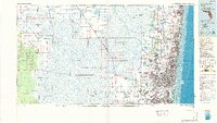
USGS Historical Quadrangle in GeoPDF.
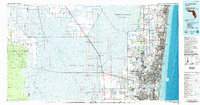
USGS Historical Quadrangle in GeoPDF.
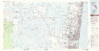
USGS Historical Quadrangle in GeoPDF.
West Indian manatees (Trichechus manatus) are separated into two allopatric subspecies: the Florida manatee (T. m. latirostris) and the Antillean manatee (T. m. manatus). In the winter of 2020-2021, an adult manatee was sighted off the coast of Cancun, Quintana Roo, Mexico, in areas where Antillean manatees are not typically seen. The individual had distinct watercraft scars on its body, which were matched using photo-identification to a known male Florida manatee (PE424) that had been repeatedly photographed in Florida since 1998. The data presented are the verified photo-documented sightings history of PE424 from Florida and Mexico.
|

|
