Filters: Tags: Fort Lupton (X)
13 results (37ms)|
Filters
Date Range
Types Contacts
Categories Tag Types
|
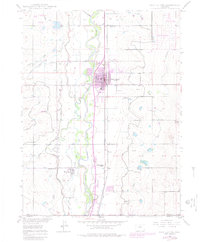
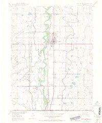
USGS Historical Quadrangle in GeoPDF.
This data set contains imagery from the National Agriculture Imagery Program (NAIP). The NAIP program is administered by USDA FSA and has been established to support two main FSA strategic goals centered on agricultural production. These are, increase stewardship of America's natural resources while enhancing the environment, and to ensure commodities are procured and distributed effectively and efficiently to increase food security. The NAIP program supports these goals by acquiring and providing ortho imagery that has been collected during the agricultural growing season in the U.S. The NAIP ortho imagery is tailored to meet FSA requirements and is a fundamental tool used to support FSA farm and conservation programs....
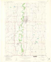
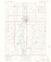
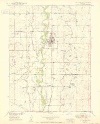
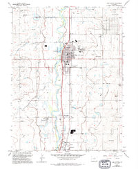
USGS Historical Quadrangle in GeoPDF.
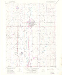
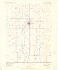
USGS Historical Quadrangle in GeoPDF.
This data set contains imagery from the National Agriculture Imagery Program (NAIP). The NAIP program is administered by USDA FSA and has been established to support two main FSA strategic goals centered on agricultural production. These are, increase stewardship of America's natural resources while enhancing the environment, and to ensure commodities are procured and distributed effectively and efficiently to increase food security. The NAIP program supports these goals by acquiring and providing ortho imagery that has been collected during the agricultural growing season in the U.S. The NAIP ortho imagery is tailored to meet FSA requirements and is a fundamental tool used to support FSA farm and conservation programs....
USGS Historical Quadrangle in GeoPDF.
USGS Historical Quadrangle in GeoPDF.
An important component of assessing the hazards of anticoagulant rodenticides to non-target wildlife are observations in exposed free-ranging individuals. The objective of this study was to determine if environmentally realistic, sublethal first-generation anticoagulant rodenticide exposures via prey, can result in direct or indirect adverse effects to free-flying raptors. We offered black-tailed prairie dogs (Cynomys ludovicianus) that had fed on Rozol® Prairie Dog Bait (0.005% active ingredient chlorophacinone) to six wild-caught red-tailed hawks (RTHA, Buteo jamaicensis), and uncontaminated black-tailed prairie dogs to two wild-caught RTHAs for 7 days. On day 6, blood was collected from all eight RTHAs to determine...
|

|
