Filters: Tags: Fort Randall Dam (X)
8 results (15ms)|
Filters
Date Range
Types Contacts
Tag Types Tag Schemes |
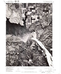
USGS Historical Quadrangle in GeoPDF.
This data set contains imagery from the National Agriculture Imagery Program (NAIP). The NAIP program is administered by USDA FSA and has been established to support two main FSA strategic goals centered on agricultural production. These are increase stewardship of America's natural resources while enhancing the environment, and to ensure commodities are procured and distributed effectively and efficiently to increase food security. The NAIP program supports these goals by acquiring and providing ortho imagery that has been collected during the agricultural growing season in the U.S. The NAIP ortho imagery is tailored to meet FSA requirements and is a fundamental tool used to support FSA farm and conservation programs....
These datasets describe channel adjustments over a 60-year period to dams in the Missouri National Recreational River (MNRR), South Dakota and Nebraska. Datasets include a channel geometry analysis from cross-sections, banklines digitized and interpreted to predict future bank erosion sites from aerial photography, and models of floodplain inundation over a range of discharges. There are two MNRR segments, a 39-mile segment downstream from Fort Randall Dam, and a 59-mile segment downstream from Gavins Point Dam. Similar datasets were analyzed for each MNRR segment using similar methods.
This data set contains imagery from the National Agriculture Imagery Program (NAIP). The NAIP program is administered by USDA FSA and has been established to support two main FSA strategic goals centered on agricultural production. These are increase stewardship of America's natural resources while enhancing the environment, and to ensure commodities are procured and distributed effectively and efficiently to increase food security. The NAIP program supports these goals by acquiring and providing ortho imagery that has been collected during the agricultural growing season in the U.S. The NAIP ortho imagery is tailored to meet FSA requirements and is a fundamental tool used to support FSA farm and conservation programs....
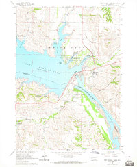
USGS Historical Quadrangle in GeoPDF.
This data set contains imagery from the National Agriculture Imagery Program (NAIP). The NAIP program is administered by USDA FSA and has been established to support two main FSA strategic goals centered on agricultural production. These are increase stewardship of America's natural resources while enhancing the environment, and to ensure commodities are procured and distributed effectively and efficiently to increase food security. The NAIP program supports these goals by acquiring and providing ortho imagery that has been collected during the agricultural growing season in the U.S. The NAIP ortho imagery is tailored to meet FSA requirements and is a fundamental tool used to support FSA farm and conservation programs....
Types: Citation;
Tags: 3.75 x 3.75 minute,
4309860,
46023,
Aerial Compliance,
CHARLES MIX CO SD FSA,
These datasets describe channel adjustments over a 60-year period to dams in the Missouri National Recreational River (MNRR), South Dakota and Nebraska. Datasets include a channel geometry analysis from cross-sections, banklines digitized and interpreted to predict future bank erosion sites from aerial photography, and models of floodplain inundation over a range of discharges. There are two MNRR segments, a 39-mile segment downstream from Fort Randall Dam, and a 59-mile segment downstream from Gavins Point Dam. Similar datasets were analyzed for each MNRR segment using similar methods.
This data set contains imagery from the National Agriculture Imagery Program (NAIP). The NAIP program is administered by USDA FSA and has been established to support two main FSA strategic goals centered on agricultural production. These are increase stewardship of America's natural resources while enhancing the environment, and to ensure commodities are procured and distributed effectively and efficiently to increase food security. The NAIP program supports these goals by acquiring and providing ortho imagery that has been collected during the agricultural growing season in the U.S. The NAIP ortho imagery is tailored to meet FSA requirements and is a fundamental tool used to support FSA farm and conservation programs....
|

|
