Filters: Tags: GEOGRAPHIC INFORMATION SYSTEMS (X) > Date Range: {"choice":"year"} (X)
445 results (170ms)|
Filters
Date Types (for Date Range)
Types
Contacts
Categories
Tag Types
|
This work provides a flexible and scalable framework to assess the impacts of climate change on streamflow and stream temperature within the North Atlantic Landscape Conservation Cooperative (NALCC) region. This is accomplished through use of lumped parameter, physically-based, conceptual hydrologic and stream temperature models formulated in a hierarchical Bayesian framework. This allows for model predictions of streamflow and temperature at ungaged locations and a formal accounting of model estimate uncertainty at each location, something not previously achieved in these models. These environmental models will also link seamlessly with the land use and fish models. The final products of this project will provide:...
LANDFIRE's (LF) 2022 update (LF 2022) Existing Vegetation Cover (EVC) represents the vertically projected percent cover of the live canopy for a 30-m cell. EVC is produced separately for tree, shrub, and herbaceous lifeforms. Training data depicting percentages of canopy cover are obtained from plot-level ground-based visual assessments and lidar observations. These are combined with Landsat imagery (from multiple seasons), to inform models built independently for each lifeform. Tree, shrub, and herbaceous lifeforms each have a potential range from 10% to 100% (cover values less than 10% are binned into the 10% value). The three independent lifeform datasets are merged into a single product based on the dominant...
LANDFIRE (LF) disturbance products are developed to provide temporal and spatial information related to landscape change. Historical Disturbance (HDist) is developed from the base annual LF disturbance products, and attribute code system, to represent the history of disturbance for a 10-year span. Each year's disturbance scenarios are checked against time relevant LF vegetation products to check for logical inconsistencies. Errant codes are flagged and updated to a discard code with the remaining disturbance types cross-walked/aggregated to Fuel Disturbance (FDist) types. HDist includes the year of disturbance that is recorded for that pixel. In LF 2022, the time since disturbance code is the same for both HDist...
LANDFIRE (LF) 2022 Fuel Vegetation Type (FVT) represents the LF Existing Vegetation Type Ecological Systems (EVT) product, modified to represent pre-disturbance EVT in areas where disturbances have occurred over the past 10 years. Due to shifting EVT codes and labels throughout the years, the FVT codes are based on an early version of EVT codes translated from the current version. FVT is an input for fuel transitions related to disturbance. Fuel products in LF 2022 were created with LF 2016 Remap vegetation in non-disturbed areas. To designate disturbed areas where FVT is modified, the aggregated Annual Disturbance products from 2013 to 2022 in the Fuel Disturbance (FDist) product are used. All existing disturbances...
LANDFIRE's (LF) 2022 Forest Canopy Cover (CC) describes the percent cover of the tree canopy in a stand. CC is a vertical projection of the tree canopy cover onto an imaginary horizontal plane. CC supplies information for fire behavior models to determine the probability of crown fire initiation, provide input in the spotting model, calculate wind reductions, and to calculate fuel moisture conditioning. To create this product, plot level CC values are calculated using the canopy fuel estimation software, Forest Vegetation Simulator (FVS). Pre-disturbance CC and Canopy Height (CH) are used as predictors of disturbed CC using a linear regression equation per Fuel Vegetation Type (FVT), disturbance type/severity, and...
LANDFIRE (LF) 2022 Fuel Vegetation Cover (FVC) represents the LF Existing Vegetation Cover (EVC) product, modified to represent pre-disturbance EVC in areas where disturbances have occurred over the past 10 years. EVC is mapped as continuous estimates of canopy cover for tree, shrub, and herbaceous lifeforms with a potential range from 10% to 100%. Continuous EVC values are binned to align with fuel model assignments when creating FVC. FVC is an input for fuel transitions related to disturbance. Fuel products in LF 2022 were created with LF 2016 Remap vegetation in non-disturbed areas. To designate disturbed areas where FVC is modified, the aggregated Annual Disturbance products from 2013 to 2022 in the Fuel Disturbance...
The compilation of an accurate and contemporary digital shoreline for Alaska is an important step in understanding coastal processes and measuring changes in coastal storm characteristics. Consistent with efforts by the United States National Park Service (NPS) at Bering Land Bridge National Preserve (BELA) and Cape Krusenstern National Monument, high quality, defensible digital shoreline datasets are under development for select coastal parks in the State of Alaska. Near BELA, for the area from Cape Prince of Wales to Cape Espenberg, extended revised shoreline coverage can be produced using true color coastal shoreline imagery to update the boundary demarking the mean high water (MHW) shoreline, which represents...
Categories: Data;
Tags: COASTAL AREAS,
COASTAL AREAS,
COASTAL LANDFORMS/PROCESSES,
COASTAL LANDFORMS/PROCESSES,
COASTAL PROCESSES,

The High Resolution National Hydrography Dataset Plus (NHDPlus HR) is an integrated set of geospatial data layers, including the National Hydrography Dataset (NHD), National Watershed Boundary Dataset (WBD), and 3D Elevation Program Digital Elevation Model (3DEP DEM). The NHDPlus HR combines the NHD, 3DEP DEMs, and WBD to a data suite that includes the NHD stream network with linear referencing functionality, the WBD hydrologic units, elevation-derived catchment areas for each stream segment, "value added attributes" (VAAs), and other features that enhance hydrologic data analysis and routing.
The LANDFIRE (LF) Canadian Forest Fire Danger Rating System (CFFDRS) product depicts fuel types as an identifiable association of fuel elements of distinctive species, form, size, arrangement, and continuity. CFFDRS exhibits characteristic fire behavior under the specified burn conditions. In LF 2022 Canadian fuel models are derived from the Fuel Model Guide to Alaska Vegetation (Alaska Fuel Model Guide Task Group, 2018) and subsequent updates. The LF CFFDRS product contains the fuel models used for the Fire Behavior Prediction (FBP) system fuel type inputs. Default values assigned to the Canadian Fuel Models required to run the Prometheus fire behavior software (Prometheus, 2021) are added as attributes to the...
LANDFIRE's (LF) 2022 Forest Canopy Height (CH) describes the average height of the top of the canopy for a stand. CH is used in the calculation of Canopy Bulk Density (CBD) and Canopy Base Height (CBH). CH supplies information for fire behavior models, such as FARSITE (Finney 1998), that can determine the starting point of embers in the spotting model, wind reductions, and the volume of crown fuels. To create this product, plot level CH values are calculated using the canopy fuel estimation software, Forest Vegetation Simulator (FVS). Pre-disturbance Canopy Cover and CH are used as predictors of disturbed CH using a linear regression equation per Fuel Vegetation Type (FVT), disturbance type/severity, and time since...
LANDFIRE (LF) disturbance products are developed to provide temporal and spatial information related to landscape change. LF 2022 Fuel Disturbance (FDist) uses the latest Annual Disturbance products from the effective disturbance years of 2013 to 2022. FDist is created from LF 2022 Historical Disturbance (HDist) which in turn aggregates the Annual Disturbance products. FDist groups similar disturbance types, severities and time since disturbance categories which represent disturbance scenarios within the fuel environment. FDist is used in conjunction with Fuel Vegetation Type (FVT), Cover (FVC), and Height (FVH) to calculate Canopy Cover (CC), Canopy Height (CH), Canopy Bulk Density (CBD), Canopy Base Height (CBH),...
Water availability, distribution, quality and quantity are critical habitat elements for fish and other water-dependent species. Furthermore, the availability of water is also a pre-requisite for a number of human activities. The density of weather and hydrology observation sites on the North Slope is orders of magnitude less than in other parts of the U.S., making it difficult to document hydrologic trends and develop accurate predictive models where water is a key input. The information that does exist is scattered among many entities, and varies in format. This multi-year data rescue effort project brings together these scarce and scattered hydrology data sets, including high-priority datasets held by the Bureau...
Categories: Data;
Types: Map Service,
OGC WFS Layer,
OGC WMS Layer,
OGC WMS Service;
Tags: ARCHIVING,
ARCHIVING,
Academics & scientific researchers,
Arctic Landscape Conservation Cooperative data.gov,
CATALOGING,
The Geographic Information Network for Alaska will complete uniform and consistent ecological mapping of the North Slope region and provide a summary of existing field site ecological descriptions (including photos) in a web based environment. Existing automated field information and photos that have reliable geolocation information will be compiled and entered in a web based geographic display based on the ecological mapping.
The Desert Landscape Conservation Cooperative Land Cover Map shows land cover at a regional scale (1:2,500,000). The files provided are graphic design files that can be used to plot a publication-quality, poster-size map.Scale: 1:2,500,000 Map poster dimensions: 34 x 44 inches Data sources:Land cover from North American Environmental Atlas by the Commission for Environmental Cooperation, 2010. Physiographic regions from Natural Earth 1:10 million scale Physical Labels (3.0.0) derived from Patterson’s Physical Map of the World, 2008. Hydrography, populated places, and political boundaries from National Atlas of the United States, 2004. File descriptions: DLCC_LandCover.ai is an Adobe Illustrator file. DLCC_LandCover.pdf...
Categories: Data;
Types: ArcGIS REST Map Service,
ArcGIS Service Definition,
Downloadable,
Map Service,
OGC WFS Layer,
OGC WMS Layer,
OGC WMS Service;
Tags: Academics & scientific researchers,
Conservation NGOs,
DATA ANALYSIS AND VISUALIZATION,
Data,
Data.gov Desert Landscape Conservation Cooperative,
The High Resolution National Hydrography Dataset Plus (NHDPlus HR) is an integrated set of geospatial data layers, including the best available National Hydrography Dataset (NHD), the 10-meter 3D Elevation Program Digital Elevation Model (3DEP DEM), and the National Watershed Boundary Dataset (WBD). The NHDPlus HR combines the NHD, 3DEP DEMs, and WBD to create a stream network with linear referencing, feature naming, "value added attributes" (VAAs), elevation-derived catchments, and other features for hydrologic data analysis. The stream network with linear referencing is a system of data relationships applied to hydrographic systems so that one stream reach "flows" into another and "events" can be tied to and traced...
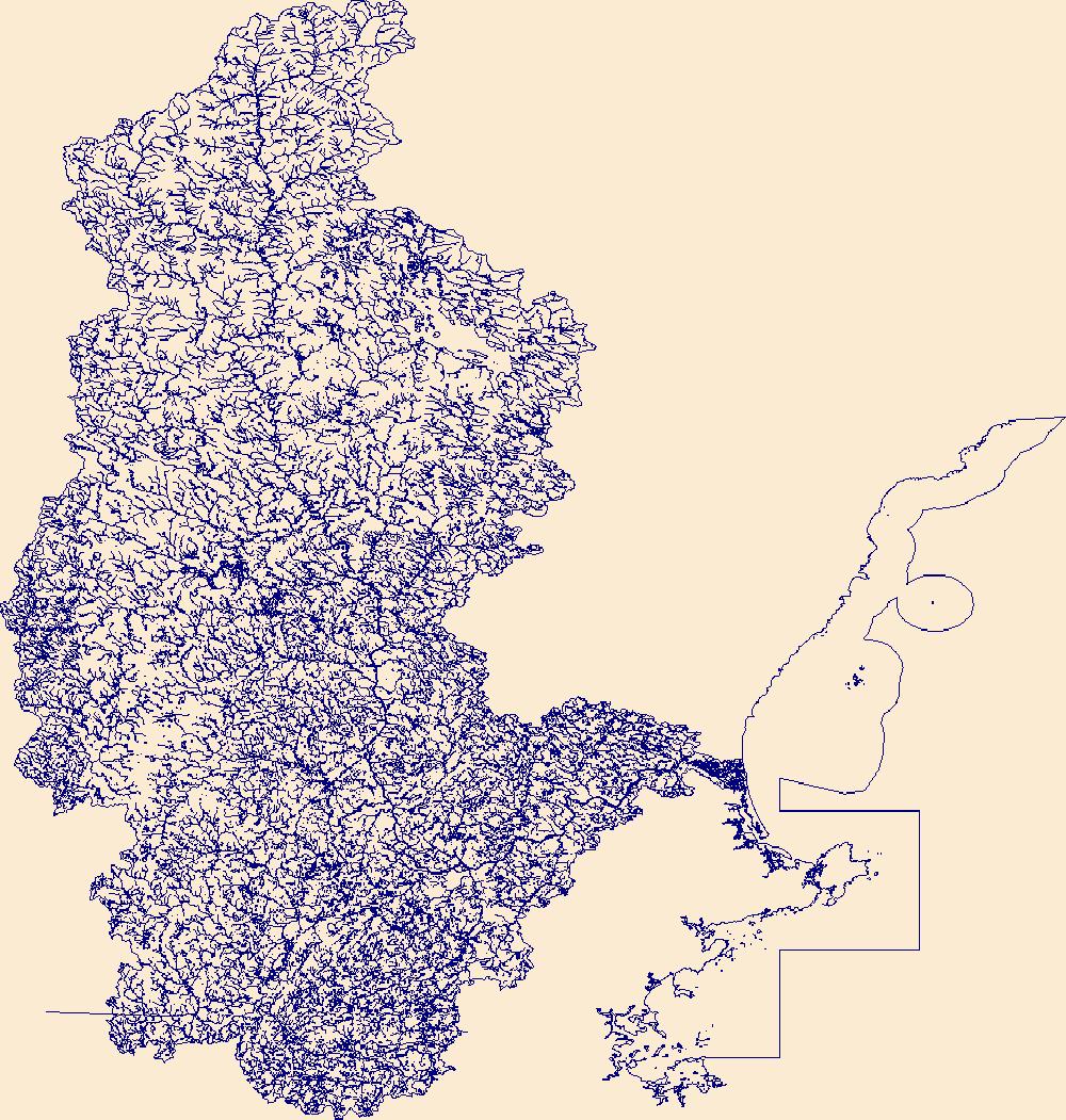
The High Resolution National Hydrography Dataset Plus (NHDPlus HR) is an integrated set of geospatial data layers, including the National Hydrography Dataset (NHD), National Watershed Boundary Dataset (WBD), and 3D Elevation Program Digital Elevation Model (3DEP DEM). The NHDPlus HR combines the NHD, 3DEP DEMs, and WBD to a data suite that includes the NHD stream network with linear referencing functionality, the WBD hydrologic units, elevation-derived catchment areas for each stream segment, "value added attributes" (VAAs), and other features that enhance hydrologic data analysis and routing.
The High Resolution National Hydrography Dataset Plus (NHDPlus HR) is an integrated set of geospatial data layers, including the best available National Hydrography Dataset (NHD), the 10-meter 3D Elevation Program Digital Elevation Model (3DEP DEM), and the National Watershed Boundary Dataset (WBD). The NHDPlus HR combines the NHD, 3DEP DEMs, and WBD to create a stream network with linear referencing, feature naming, "value added attributes" (VAAs), elevation-derived catchments, and other features for hydrologic data analysis. The stream network with linear referencing is a system of data relationships applied to hydrographic systems so that one stream reach "flows" into another and "events" can be tied to and traced...
The High Resolution National Hydrography Dataset Plus (NHDPlus HR) is an integrated set of geospatial data layers, including the best available National Hydrography Dataset (NHD), the 10-meter 3D Elevation Program Digital Elevation Model (3DEP DEM), and the National Watershed Boundary Dataset (WBD). The NHDPlus HR combines the NHD, 3DEP DEMs, and WBD to create a stream network with linear referencing, feature naming, "value added attributes" (VAAs), elevation-derived catchments, and other features for hydrologic data analysis. The stream network with linear referencing is a system of data relationships applied to hydrographic systems so that one stream reach "flows" into another and "events" can be tied to and traced...
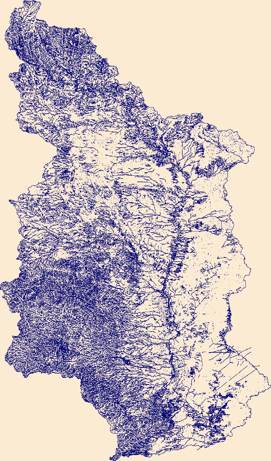
The High Resolution National Hydrography Dataset Plus (NHDPlus HR) is an integrated set of geospatial data layers, including the best available National Hydrography Dataset (NHD), the 10-meter 3D Elevation Program Digital Elevation Model (3DEP DEM), and the National Watershed Boundary Dataset (WBD). The NHDPlus HR combines the NHD, 3DEP DEMs, and WBD to create a stream network with linear referencing, feature naming, "value added attributes" (VAAs), elevation-derived catchments, and other features for hydrologic data analysis. The stream network with linear referencing is a system of data relationships applied to hydrographic systems so that one stream reach "flows" into another and "events" can be tied to and traced...
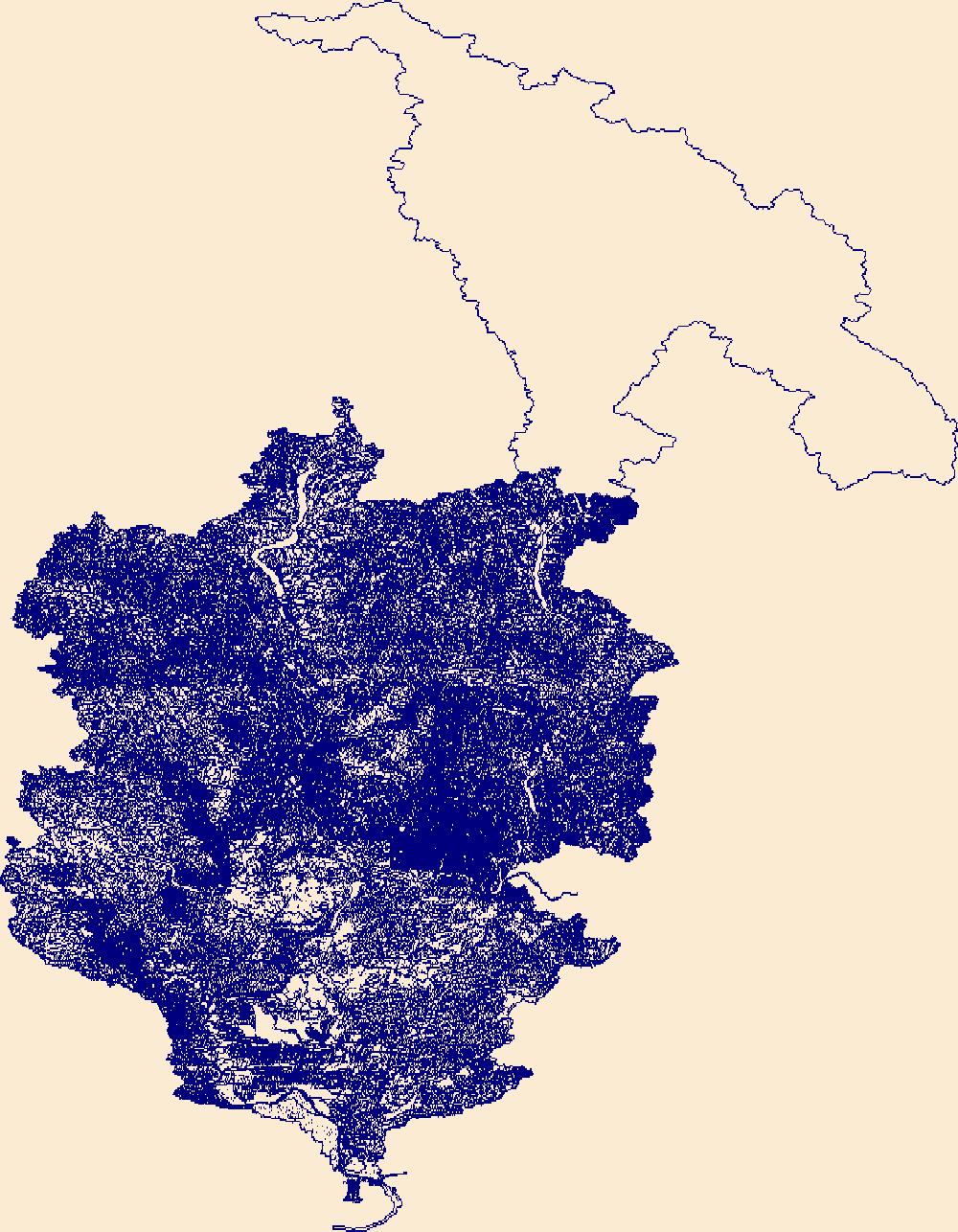
The High Resolution National Hydrography Dataset Plus (NHDPlus HR) is an integrated set of geospatial data layers, including the best available National Hydrography Dataset (NHD), the 10-meter 3D Elevation Program Digital Elevation Model (3DEP DEM), and the National Watershed Boundary Dataset (WBD). The NHDPlus HR combines the NHD, 3DEP DEMs, and WBD to create a stream network with linear referencing, feature naming, "value added attributes" (VAAs), elevation-derived catchments, and other features for hydrologic data analysis. The stream network with linear referencing is a system of data relationships applied to hydrographic systems so that one stream reach "flows" into another and "events" can be tied to and traced...
|

|