Filters
Date Range
Extensions
Types
Contacts
Categories
Tag Types
Tag Schemes
|

This data release contains data used in an associated publication: Petrakis, R.E., Norman, L.M., Vaughn, K., Pritzlaff, R., Weaver, C., Rader, A., and Pulliam, H.R., 2021, Hierarchical Clustering for Paired Watershed Experiments: Case Study in Southeastern Arizona, U.S.A.: Water, v. 13, no. 21, p. 2955, https://doi.org/10.3390/w13212955. The overarching effects and benefits of land management decisions, such as through watershed restoration, are often not fully understood due to a lacking control within an experimental design. This can be addressed through the application of a paired watershed approach, allowing for comparison between treatment and control watersheds. We developed and applied a statistic-based...
Tags: Arizona,
Correlation Analysis,
Environmental Health,
Geography,
Hierarchical Clustering, All tags...
Land Use Change,
Paired Watersheds,
Patagonia, Arizona,
Remote Sensing,
Restoration,
Santa Cruz County,
Spatial Database Development,
USGS Science Data Catalog (SDC),
United States,
Water Quality,
Water Resources, Fewer tags
If conservation of biodiversity is the goal, then the protected areas network of the continental US may be one of our best conservation tools for safeguarding ecological systems (i.e., vegetation communities). We evaluated representation of ecological systems in the current protected areas network and found insufficient representation at three vegetation community levels within lower elevations and moderate to high productivity soils. We used national-level data for ecological systems and a protected areas database to explore alternative ways we might be able to increase representation of ecological systems within the continental US. By following one or more of these alternatives it may be possible to increase the...

These data consist of a multi-trophic, day vs. night, nearshore to offshore transect approach for data collection for this Cooperative Science and Monitoring Initiative effort at two northwestern Lake Huron sites near Hammond Bay and Thunder Bay, Michigan. Zooplankton and Mysis samples were collected monthly from April-October while benthos and prey fish samples were collected seasonally during Spring, Summer, and Fall. Invertebrate taxa (zooplankton, Mysis, benthic macroinvertebrates) were identified, enumerated, and measured using a dissecting microscope. Diet items of the prey fish were processed similarly to the other samples in terms of taxonomy. These data were used to calculate densities of fish prey items...
Categories: Data;
Tags: Aquatic Biology,
Ecology,
Geography,
Lake Huron,
Limnology, All tags...
Northwestern Lake Huron,
USGS Science Data Catalog (SDC),
Zooplankton,
aquatic ecosystems,
biota,
community ecology,
environment,
fisheries biology,
food web,
inlandWaters,
population and community ecology, Fewer tags

The Geographic Names Information System (GNIS) is the Federal standard for geographic nomenclature. The U.S. Geological Survey developed the GNIS for the U.S. Board on Geographic Names, a Federal inter-agency body chartered by public law to maintain uniform feature name usage throughout the Government and to promulgate standard names to the public. The GNIS is the official repository of domestic geographic names data; the official vehicle for geographic names use by all departments of the Federal Government; and the source for applying geographic names to Federal electronic and printed products of all types.
Tags: AK,
AL,
AR,
AS,
AZ, All tags...
Alabama,
Alaska,
American Samoa,
Antarctica,
Antarctica,
Arizona,
Arkansas,
BGN,
Board on Geographic Names,
Borough,
CA,
CO,
CT,
California,
Census Area,
Colorado,
Commonwealth,
Connecticut,
County,
DC,
DE,
Delaware,
District,
District of Columbia,
Downloadable Data,
Esri File GeoDatabase 10,
FL,
Feature class,
Feature coordinates,
Feature county,
Feature description,
Feature designation,
Feature history,
Feature indentification,
Feature name,
Feature state,
FileGDB,
Florida,
GA,
GNIS,
GU,
Geographic Names,
Geographic Names Full Model,
Geographic Names Information System,
Geographic feature,
Geographic name,
Geographical feature,
Geographical name,
Georgia,
Guam,
HI,
Hawaii,
IA,
ID,
IL,
IN,
Idaho,
Illinois,
Indiana,
Iowa,
KS,
KY,
Kansas,
Kentucky,
LA,
Louisiana,
MA,
MD,
ME,
MI,
MN,
MO,
MP,
MS,
MT,
Maine,
Maryland,
Massachusetts,
Michigan,
Minnesota,
Mississippi,
Missouri,
Montana,
Municipio,
NC,
ND,
NE,
NH,
NJ,
NM,
NV,
NY,
National,
National,
National Geographic Names Information System (GNIS),
National Geographic Names Information System (GNIS),
Nebraska,
Nevada,
New Hampshire,
New Jersey,
New Mexico,
New York,
North Carolina,
North Dakota,
Northern Mariana Islands,
OH,
OK,
OR,
Official feature name,
Ohio,
Oklahoma,
Oregon,
Outlying Area,
PA,
PR,
Parish,
Pennsylvania,
Place name,
Populated Place,
Puerto Rico,
RI,
Rhode Island,
SC,
SD,
South Carolina,
South Dakota,
TN,
TX,
Tennessee,
Territories,
Territory,
Texas,
Topographic Map,
U.S. Board on Geographic Names,
U.S. Geological Survey,
US,
USA,
USBGN,
USGS,
UT,
United States,
United States,
United States,
Utah,
VA,
VI,
VT,
Variant name,
Vermont,
Virgin Islands,
Virginia,
WA,
WI,
WV,
WY,
Washington,
West Virginia,
Wisconsin,
Wyoming,
antarctic,
database,
economy,
environment,
feature,
gazetteer,
geographic,
geographic names,
geographical,
geography,
geospatial,
imageryBaseMapsEarthCover,
inlandWaters,
location,
map,
name,
place,
placename,
society,
structure,
topographic map,
toponymy, Fewer tags
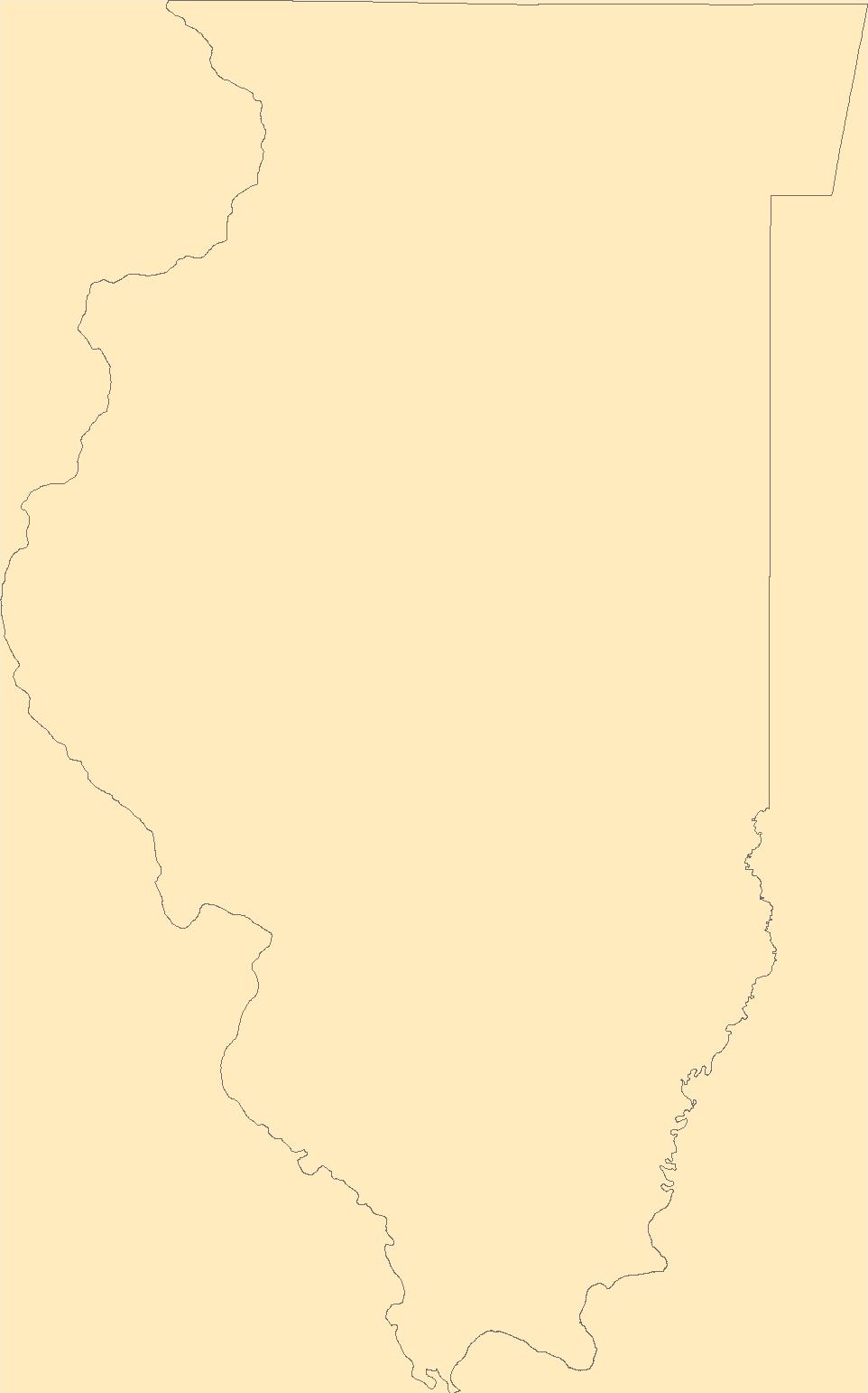
The Geographic Names Information System (GNIS) is the Federal standard for geographic nomenclature. The U.S. Geological Survey developed the GNIS for the U.S. Board on Geographic Names, a Federal inter-agency body chartered by public law to maintain uniform feature name usage throughout the Government and to promulgate standard names to the public. The GNIS is the official repository of domestic geographic names data; the official vehicle for geographic names use by all departments of the Federal Government; and the source for applying geographic names to Federal electronic and printed products of all types.
Tags: Adams,
Alexander,
Antarctica,
Antarctica,
BGN, All tags...
Board on Geographic Names,
Bond,
Boone,
Borough,
Brown,
Bureau,
Calhoun,
Carroll,
Cass,
Census Area,
Champaign,
Christian,
Clark,
Clay,
Clinton,
Coles,
Commonwealth,
Cook,
County,
Crawford,
Cumberland,
De Witt,
DeKalb,
District,
Douglas,
Downloadable Data,
DuPage,
Edgar,
Edwards,
Effingham,
Fayette,
Feature class,
Feature coordinates,
Feature county,
Feature description,
Feature designation,
Feature history,
Feature indentification,
Feature name,
Feature state,
Ford,
Franklin,
Fulton,
GNIS,
Gallatin,
Geographic Names,
Geographic Names Federal Codes,
Geographic Names Information System,
Geographic feature,
Geographic name,
Geographical feature,
Geographical name,
Greene,
Grundy,
Hamilton,
Hancock,
Hardin,
Henderson,
Henry,
IL,
Illinois,
Iroquois,
Jackson,
Jasper,
Jefferson,
Jersey,
Jo Daviess,
Johnson,
Kane,
Kankakee,
Kendall,
Knox,
LaSalle,
Lake,
Lawrence,
Lee,
Livingston,
Logan,
Macon,
Macoupin,
Madison,
Marion,
Marshall,
Mason,
Massac,
McDonough,
McHenry,
McLean,
Menard,
Mercer,
Monroe,
Montgomery,
Morgan,
Moultrie,
Municipio,
National Geographic Names Information System (GNIS),
National Geographic Names Information System (GNIS),
Official feature name,
Ogle,
Outlying Area,
Parish,
Peoria,
Perry,
Piatt,
Pike,
Place name,
Pope,
Populated Place,
Pulaski,
Putnam,
Randolph,
Richland,
Rock Island,
Saline,
Sangamon,
Schuyler,
Scott,
Shelby,
St. Clair,
Stark,
State,
Stephenson,
TXT (pipes),
Tazewell,
Territories,
Territory,
Topographic Map,
U.S. Board on Geographic Names,
U.S. Geological Survey,
US,
USA,
USBGN,
USGS,
UTF-8 Pipe Delimited Text File nan,
Union,
United States,
United States,
United States,
Variant name,
Vermilion,
Wabash,
Warren,
Washington,
Wayne,
White,
Whiteside,
Will,
Williamson,
Winnebago,
Woodford,
antarctic,
database,
economy,
environment,
feature,
gazetteer,
geographic,
geographic names,
geographical,
geography,
geospatial,
imageryBaseMapsEarthCover,
inlandWaters,
location,
map,
name,
place,
placename,
society,
structure,
topographic map,
toponymy, Fewer tags
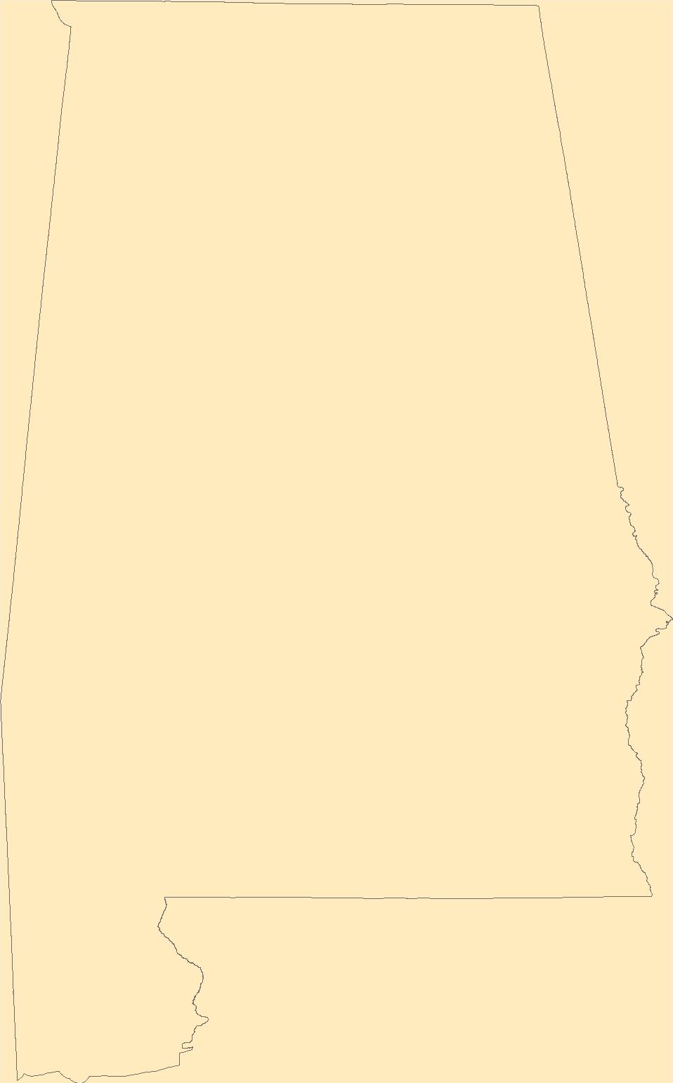
The Geographic Names Information System (GNIS) is the Federal standard for geographic nomenclature. The U.S. Geological Survey developed the GNIS for the U.S. Board on Geographic Names, a Federal inter-agency body chartered by public law to maintain uniform feature name usage throughout the Government and to promulgate standard names to the public. The GNIS is the official repository of domestic geographic names data; the official vehicle for geographic names use by all departments of the Federal Government; and the source for applying geographic names to Federal electronic and printed products of all types.
Tags: AL,
Alabama,
Antarctica,
Antarctica,
Autauga, All tags...
BGN,
Baldwin,
Barbour,
Bibb,
Blount,
Board on Geographic Names,
Borough,
Bullock,
Butler,
Calhoun,
Census Area,
Chambers,
Cherokee,
Chilton,
Choctaw,
Clarke,
Clay,
Cleburne,
Coffee,
Colbert,
Commonwealth,
Conecuh,
Coosa,
County,
Covington,
Crenshaw,
Cullman,
Dale,
Dallas,
DeKalb,
District,
Downloadable Data,
Elmore,
Escambia,
Etowah,
Fayette,
Feature class,
Feature coordinates,
Feature county,
Feature description,
Feature designation,
Feature history,
Feature indentification,
Feature name,
Feature state,
Franklin,
GNIS,
Geneva,
Geographic Names,
Geographic Names Federal Codes,
Geographic Names Information System,
Geographic feature,
Geographic name,
Geographical feature,
Geographical name,
Greene,
Hale,
Henry,
Houston,
Jackson,
Jefferson,
Lamar,
Lauderdale,
Lawrence,
Lee,
Limestone,
Lowndes,
Macon,
Madison,
Marengo,
Marion,
Marshall,
Mobile,
Monroe,
Montgomery,
Morgan,
Municipio,
National Geographic Names Information System (GNIS),
National Geographic Names Information System (GNIS),
Official feature name,
Outlying Area,
Parish,
Perry,
Pickens,
Pike,
Place name,
Populated Place,
Randolph,
Russell,
Shelby,
St. Clair,
State,
Sumter,
TXT (pipes),
Talladega,
Tallapoosa,
Territories,
Territory,
Topographic Map,
Tuscaloosa,
U.S. Board on Geographic Names,
U.S. Geological Survey,
US,
USA,
USBGN,
USGS,
UTF-8 Pipe Delimited Text File nan,
United States,
United States,
United States,
Variant name,
Walker,
Washington,
Wilcox,
Winston,
antarctic,
database,
economy,
environment,
feature,
gazetteer,
geographic,
geographic names,
geographical,
geography,
geospatial,
imageryBaseMapsEarthCover,
inlandWaters,
location,
map,
name,
place,
placename,
society,
structure,
topographic map,
toponymy, Fewer tags
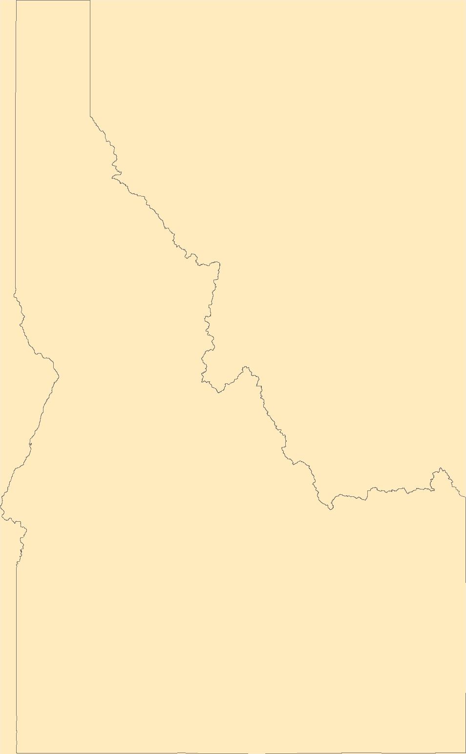
The Geographic Names Information System (GNIS) is the Federal standard for geographic nomenclature. The U.S. Geological Survey developed the GNIS for the U.S. Board on Geographic Names, a Federal inter-agency body chartered by public law to maintain uniform feature name usage throughout the Government and to promulgate standard names to the public. The GNIS is the official repository of domestic geographic names data; the official vehicle for geographic names use by all departments of the Federal Government; and the source for applying geographic names to Federal electronic and printed products of all types.
Tags: Ada,
Adams,
Antarctica,
Antarctica,
BGN, All tags...
Bannock,
Bear Lake,
Benewah,
Bingham,
Blaine,
Board on Geographic Names,
Boise,
Bonner,
Bonneville,
Borough,
Boundary,
Butte,
Camas,
Canyon,
Caribou,
Cassia,
Census Area,
Clark,
Clearwater,
Commonwealth,
County,
Custer,
District,
Downloadable Data,
Elmore,
Feature class,
Feature coordinates,
Feature county,
Feature description,
Feature designation,
Feature history,
Feature indentification,
Feature name,
Feature state,
Franklin,
Fremont,
GNIS,
Gem,
Geographic Names,
Geographic Names Federal Codes,
Geographic Names Information System,
Geographic feature,
Geographic name,
Geographical feature,
Geographical name,
Gooding,
ID,
Idaho,
Idaho,
Jefferson,
Jerome,
Kootenai,
Latah,
Lemhi,
Lewis,
Lincoln,
Madison,
Minidoka,
Municipio,
National Geographic Names Information System (GNIS),
National Geographic Names Information System (GNIS),
Nez Perce,
Official feature name,
Oneida,
Outlying Area,
Owyhee,
Parish,
Payette,
Place name,
Populated Place,
Power,
Shoshone,
State,
TXT (pipes),
Territories,
Territory,
Teton,
Topographic Map,
Twin Falls,
U.S. Board on Geographic Names,
U.S. Geological Survey,
US,
USA,
USBGN,
USGS,
UTF-8 Pipe Delimited Text File nan,
United States,
United States,
United States,
Valley,
Variant name,
Washington,
antarctic,
database,
economy,
environment,
feature,
gazetteer,
geographic,
geographic names,
geographical,
geography,
geospatial,
imageryBaseMapsEarthCover,
inlandWaters,
location,
map,
name,
place,
placename,
society,
structure,
topographic map,
toponymy, Fewer tags
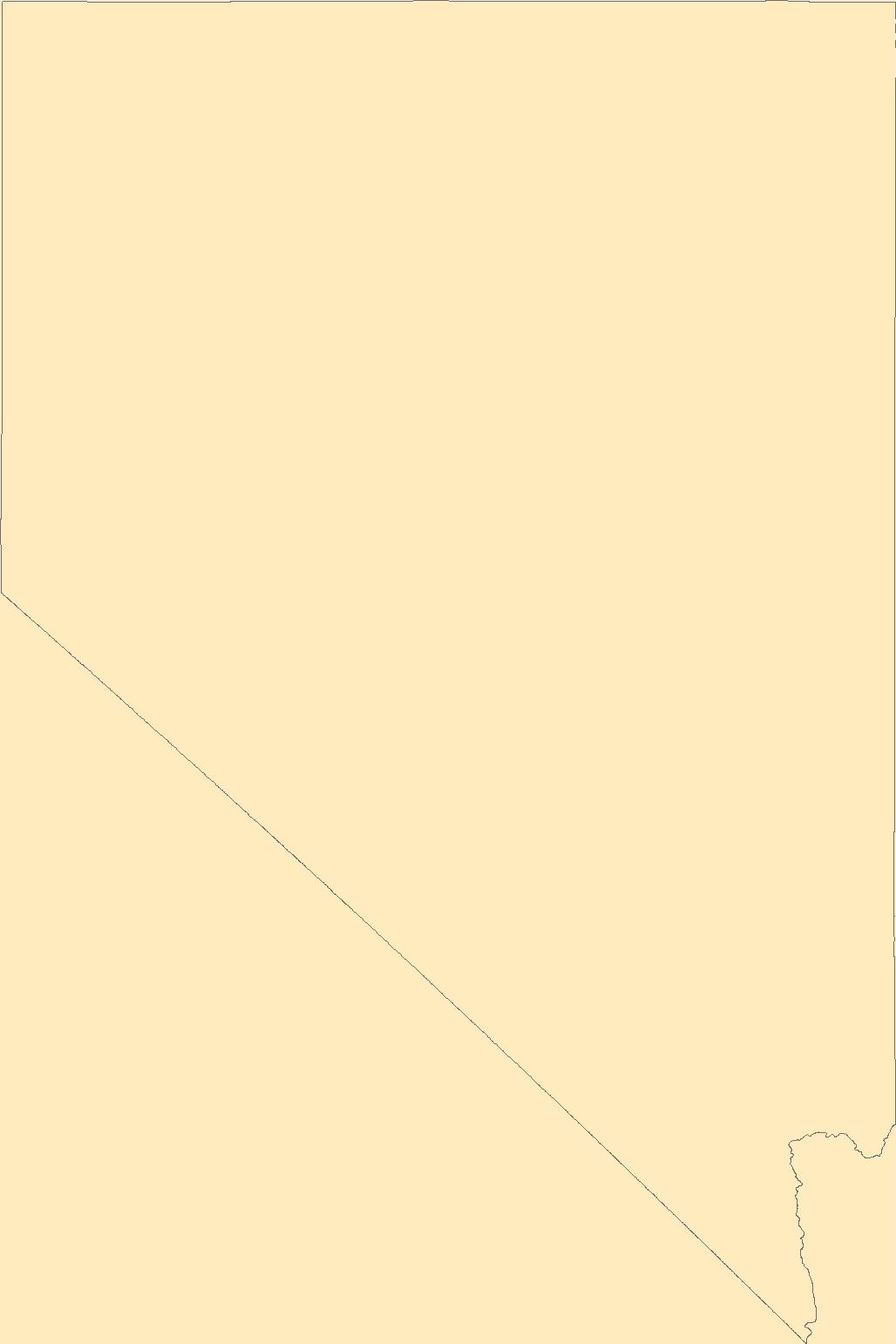
The Geographic Names Information System (GNIS) is the Federal standard for geographic nomenclature. The U.S. Geological Survey developed the GNIS for the U.S. Board on Geographic Names, a Federal inter-agency body chartered by public law to maintain uniform feature name usage throughout the Government and to promulgate standard names to the public. The GNIS is the official repository of domestic geographic names data; the official vehicle for geographic names use by all departments of the Federal Government; and the source for applying geographic names to Federal electronic and printed products of all types.
Tags: Antarctica,
Antarctica,
BGN,
Board on Geographic Names,
Borough, All tags...
Carson City,
Census Area,
Churchill,
Clark,
Commonwealth,
County,
District,
Douglas,
Downloadable Data,
Elko,
Esmeralda,
Eureka,
Feature class,
Feature coordinates,
Feature county,
Feature description,
Feature designation,
Feature history,
Feature indentification,
Feature name,
Feature state,
GNIS,
Geographic Names,
Geographic Names Federal Codes,
Geographic Names Information System,
Geographic feature,
Geographic name,
Geographical feature,
Geographical name,
Humboldt,
Lander,
Lincoln,
Lyon,
Mineral,
Municipio,
NV,
National Geographic Names Information System (GNIS),
National Geographic Names Information System (GNIS),
Nevada,
Nye,
Official feature name,
Outlying Area,
Parish,
Pershing,
Place name,
Populated Place,
State,
Storey,
TXT (pipes),
Territories,
Territory,
Topographic Map,
U.S. Board on Geographic Names,
U.S. Geological Survey,
US,
USA,
USBGN,
USGS,
UTF-8 Pipe Delimited Text File nan,
United States,
United States,
United States,
Variant name,
Washoe,
White Pine,
antarctic,
database,
economy,
environment,
feature,
gazetteer,
geographic,
geographic names,
geographical,
geography,
geospatial,
imageryBaseMapsEarthCover,
inlandWaters,
location,
map,
name,
place,
placename,
society,
structure,
topographic map,
toponymy, Fewer tags
The Geographic Names Information System (GNIS) is the Federal standard for geographic nomenclature. The U.S. Geological Survey developed the GNIS for the U.S. Board on Geographic Names, a Federal inter-agency body chartered by public law to maintain uniform feature name usage throughout the Government and to promulgate standard names to the public. The GNIS is the official repository of domestic geographic names data; the official vehicle for geographic names use by all departments of the Federal Government; and the source for applying geographic names to Federal electronic and printed products of all types.
Tags: Adams,
Allegheny,
Antarctica,
Antarctica,
Armstrong, All tags...
BGN,
Beaver,
Bedford,
Berks,
Blair,
Board on Geographic Names,
Borough,
Bradford,
Bucks,
Butler,
Cambria,
Cameron,
Carbon,
Census Area,
Centre,
Chester,
Clarion,
Clearfield,
Clinton,
Columbia,
Commonwealth,
County,
Crawford,
Cumberland,
Dauphin,
Delaware,
District,
Downloadable Data,
Elk,
Erie,
Fayette,
Feature class,
Feature coordinates,
Feature county,
Feature description,
Feature designation,
Feature history,
Feature indentification,
Feature name,
Feature state,
Forest,
Franklin,
Fulton,
GNIS,
Geographic Names,
Geographic Names Federal Codes,
Geographic Names Information System,
Geographic feature,
Geographic name,
Geographical feature,
Geographical name,
Greene,
Huntingdon,
Indiana,
Jefferson,
Juniata,
Lackawanna,
Lancaster,
Lawrence,
Lebanon,
Lehigh,
Luzerne,
Lycoming,
McKean,
Mercer,
Mifflin,
Monroe,
Montgomery,
Montour,
Municipio,
National Geographic Names Information System (GNIS),
National Geographic Names Information System (GNIS),
Northampton,
Northumberland,
Official feature name,
Outlying Area,
PA,
Parish,
Pennsylvania,
Perry,
Philadelphia,
Pike,
Place name,
Populated Place,
Potter,
Schuylkill,
Snyder,
Somerset,
State,
Sullivan,
Susquehanna,
TXT (pipes),
Territories,
Territory,
Tioga,
Topographic Map,
U.S. Board on Geographic Names,
U.S. Geological Survey,
US,
USA,
USBGN,
USGS,
UTF-8 Pipe Delimited Text File nan,
Union,
United States,
United States,
United States,
Variant name,
Venango,
Warren,
Washington,
Wayne,
Westmoreland,
Wyoming,
York,
antarctic,
database,
economy,
environment,
feature,
gazetteer,
geographic,
geographic names,
geographical,
geography,
geospatial,
imageryBaseMapsEarthCover,
inlandWaters,
location,
map,
name,
place,
placename,
society,
structure,
topographic map,
toponymy, Fewer tags

The Geographic Names Information System (GNIS) is the Federal standard for geographic nomenclature. The U.S. Geological Survey developed the GNIS for the U.S. Board on Geographic Names, a Federal inter-agency body chartered by public law to maintain uniform feature name usage throughout the Government and to promulgate standard names to the public. The GNIS is the official repository of domestic geographic names data; the official vehicle for geographic names use by all departments of the Federal Government; and the source for applying geographic names to Federal electronic and printed products of all types.
Tags: Adams,
Alamosa,
Antarctica,
Antarctica,
Arapahoe, All tags...
Archuleta,
BGN,
Baca,
Bent,
Board on Geographic Names,
Borough,
Boulder,
Broomfield,
CO,
Census Area,
Chaffee,
Cheyenne,
Clear Creek,
Colorado,
Commonwealth,
Conejos,
Costilla,
County,
Crowley,
Custer,
Delta,
Denver,
District,
Dolores,
Douglas,
Downloadable Data,
Eagle,
El Paso,
Elbert,
Feature class,
Feature coordinates,
Feature county,
Feature description,
Feature designation,
Feature history,
Feature indentification,
Feature name,
Feature state,
Fremont,
GNIS,
Garfield,
Geographic Names,
Geographic Names Domestic Names,
Geographic Names Information System,
Geographic feature,
Geographic name,
Geographical feature,
Geographical name,
Gilpin,
Grand,
Gunnison,
Hinsdale,
Huerfano,
Jackson,
Jefferson,
Kiowa,
Kit Carson,
La Plata,
Lake,
Larimer,
Las Animas,
Lincoln,
Logan,
Mesa,
Mineral,
Moffat,
Montezuma,
Montrose,
Morgan,
Municipio,
National Geographic Names Information System (GNIS),
National Geographic Names Information System (GNIS),
Official feature name,
Otero,
Ouray,
Outlying Area,
Parish,
Park,
Phillips,
Pitkin,
Place name,
Populated Place,
Prowers,
Pueblo,
Rio Blanco,
Rio Grande,
Routt,
Saguache,
San Juan,
San Miguel,
Sedgwick,
State,
Summit,
TXT (pipes),
Teller,
Territories,
Territory,
Topographic Map,
U.S. Board on Geographic Names,
U.S. Geological Survey,
US,
USA,
USBGN,
USGS,
UTF-8 Pipe Delimited Text File nan,
United States,
United States,
United States,
Variant name,
Washington,
Weld,
Yuma,
antarctic,
database,
economy,
environment,
feature,
gazetteer,
geographic,
geographic names,
geographical,
geography,
geospatial,
imageryBaseMapsEarthCover,
inlandWaters,
location,
map,
name,
place,
placename,
society,
structure,
topographic map,
toponymy, Fewer tags

The Geographic Names Information System (GNIS) is the Federal standard for geographic nomenclature. The U.S. Geological Survey developed the GNIS for the U.S. Board on Geographic Names, a Federal inter-agency body chartered by public law to maintain uniform feature name usage throughout the Government and to promulgate standard names to the public. The GNIS is the official repository of domestic geographic names data; the official vehicle for geographic names use by all departments of the Federal Government; and the source for applying geographic names to Federal electronic and printed products of all types.
Tags: Adams,
Antarctica,
Antarctica,
BGN,
Barnes, All tags...
Benson,
Billings,
Board on Geographic Names,
Borough,
Bottineau,
Bowman,
Burke,
Burleigh,
Cass,
Cavalier,
Census Area,
Commonwealth,
County,
Dickey,
District,
Divide,
Downloadable Data,
Dunn,
Eddy,
Emmons,
Feature class,
Feature coordinates,
Feature county,
Feature description,
Feature designation,
Feature history,
Feature indentification,
Feature name,
Feature state,
Foster,
GNIS,
Geographic Names,
Geographic Names Domestic Names,
Geographic Names Information System,
Geographic feature,
Geographic name,
Geographical feature,
Geographical name,
Golden Valley,
Grand Forks,
Grant,
Griggs,
Hettinger,
Kidder,
LaMoure,
Logan,
McHenry,
McIntosh,
McKenzie,
McLean,
Mercer,
Morton,
Mountrail,
Municipio,
ND,
National Geographic Names Information System (GNIS),
National Geographic Names Information System (GNIS),
Nelson,
North Dakota,
Official feature name,
Oliver,
Outlying Area,
Parish,
Pembina,
Pierce,
Place name,
Populated Place,
Ramsey,
Ransom,
Renville,
Richland,
Rolette,
Sargent,
Sheridan,
Sioux,
Slope,
Stark,
State,
Steele,
Stutsman,
TXT (pipes),
Territories,
Territory,
Topographic Map,
Towner,
Traill,
U.S. Board on Geographic Names,
U.S. Geological Survey,
US,
USA,
USBGN,
USGS,
UTF-8 Pipe Delimited Text File nan,
United States,
United States,
United States,
Variant name,
Walsh,
Ward,
Wells,
Williams,
antarctic,
database,
economy,
environment,
feature,
gazetteer,
geographic,
geographic names,
geographical,
geography,
geospatial,
imageryBaseMapsEarthCover,
inlandWaters,
location,
map,
name,
place,
placename,
society,
structure,
topographic map,
toponymy, Fewer tags
The Geographic Names Information System (GNIS) is the Federal standard for geographic nomenclature. The U.S. Geological Survey developed the GNIS for the U.S. Board on Geographic Names, a Federal inter-agency body chartered by public law to maintain uniform feature name usage throughout the Government and to promulgate standard names to the public. The GNIS is the official repository of domestic geographic names data; the official vehicle for geographic names use by all departments of the Federal Government; and the source for applying geographic names to Federal electronic and printed products of all types.
Tags: Adams,
Antarctica,
Antarctica,
Asotin,
BGN, All tags...
Benton,
Board on Geographic Names,
Borough,
Census Area,
Chelan,
Clallam,
Clark,
Columbia,
Commonwealth,
County,
Cowlitz,
District,
Douglas,
Downloadable Data,
Feature class,
Feature coordinates,
Feature county,
Feature description,
Feature designation,
Feature history,
Feature indentification,
Feature name,
Feature state,
Ferry,
Franklin,
GNIS,
Garfield,
Geographic Names,
Geographic Names Federal Codes,
Geographic Names Information System,
Geographic feature,
Geographic name,
Geographical feature,
Geographical name,
Grant,
Grays Harbor,
Island,
Jefferson,
King,
Kitsap,
Kittitas,
Klickitat,
Lewis,
Lincoln,
Mason,
Municipio,
National Geographic Names Information System (GNIS),
National Geographic Names Information System (GNIS),
Official feature name,
Okanogan,
Outlying Area,
Pacific,
Parish,
Pend Oreille,
Pierce,
Place name,
Populated Place,
San Juan,
Skagit,
Skamania,
Snohomish,
Spokane,
State,
Stevens,
TXT (pipes),
Territories,
Territory,
Thurston,
Topographic Map,
U.S. Board on Geographic Names,
U.S. Geological Survey,
US,
USA,
USBGN,
USGS,
UTF-8 Pipe Delimited Text File nan,
United States,
United States,
United States,
Variant name,
WA,
Wahkiakum,
Walla Walla,
Washington,
Whatcom,
Whitman,
Yakima,
antarctic,
database,
economy,
environment,
feature,
gazetteer,
geographic,
geographic names,
geographical,
geography,
geospatial,
imageryBaseMapsEarthCover,
inlandWaters,
location,
map,
name,
place,
placename,
society,
structure,
topographic map,
toponymy, Fewer tags
The Geographic Names Information System (GNIS) is the Federal standard for geographic nomenclature. The U.S. Geological Survey developed the GNIS for the U.S. Board on Geographic Names, a Federal inter-agency body chartered by public law to maintain uniform feature name usage throughout the Government and to promulgate standard names to the public. The GNIS is the official repository of domestic geographic names data; the official vehicle for geographic names use by all departments of the Federal Government; and the source for applying geographic names to Federal electronic and printed products of all types.
Tags: AR,
Antarctica,
Antarctica,
Arkansas,
Arkansas, All tags...
Ashley,
BGN,
Baxter,
Benton,
Board on Geographic Names,
Boone,
Borough,
Bradley,
Calhoun,
Carroll,
Census Area,
Chicot,
Clark,
Clay,
Cleburne,
Cleveland,
Columbia,
Commonwealth,
Conway,
County,
Craighead,
Crawford,
Crittenden,
Cross,
Dallas,
Desha,
District,
Downloadable Data,
Drew,
Faulkner,
Feature class,
Feature coordinates,
Feature county,
Feature description,
Feature designation,
Feature history,
Feature indentification,
Feature name,
Feature state,
Franklin,
Fulton,
GNIS,
Garland,
Geographic Names,
Geographic Names Federal Codes,
Geographic Names Information System,
Geographic feature,
Geographic name,
Geographical feature,
Geographical name,
Grant,
Greene,
Hempstead,
Hot Spring,
Howard,
Independence,
Izard,
Jackson,
Jefferson,
Johnson,
Lafayette,
Lawrence,
Lee,
Lincoln,
Little River,
Logan,
Lonoke,
Madison,
Marion,
Miller,
Mississippi,
Monroe,
Montgomery,
Municipio,
National Geographic Names Information System (GNIS),
National Geographic Names Information System (GNIS),
Nevada,
Newton,
Official feature name,
Ouachita,
Outlying Area,
Parish,
Perry,
Phillips,
Pike,
Place name,
Poinsett,
Polk,
Pope,
Populated Place,
Prairie,
Pulaski,
Randolph,
Saline,
Scott,
Searcy,
Sebastian,
Sevier,
Sharp,
St. Francis,
State,
Stone,
TXT (pipes),
Territories,
Territory,
Topographic Map,
U.S. Board on Geographic Names,
U.S. Geological Survey,
US,
USA,
USBGN,
USGS,
UTF-8 Pipe Delimited Text File nan,
Union,
United States,
United States,
United States,
Van Buren,
Variant name,
Washington,
White,
Woodruff,
Yell,
antarctic,
database,
economy,
environment,
feature,
gazetteer,
geographic,
geographic names,
geographical,
geography,
geospatial,
imageryBaseMapsEarthCover,
inlandWaters,
location,
map,
name,
place,
placename,
society,
structure,
topographic map,
toponymy, Fewer tags
The Geographic Names Information System (GNIS) is the Federal standard for geographic nomenclature. The U.S. Geological Survey developed the GNIS for the U.S. Board on Geographic Names, a Federal inter-agency body chartered by public law to maintain uniform feature name usage throughout the Government and to promulgate standard names to the public. The GNIS is the official repository of domestic geographic names data; the official vehicle for geographic names use by all departments of the Federal Government; and the source for applying geographic names to Federal electronic and printed products of all types.
Tags: Adair,
Allen,
Anderson,
Antarctica,
Antarctica, All tags...
BGN,
Ballard,
Barren,
Bath,
Bell,
Board on Geographic Names,
Boone,
Borough,
Bourbon,
Boyd,
Boyle,
Bracken,
Breathitt,
Breckinridge,
Bullitt,
Butler,
Caldwell,
Calloway,
Campbell,
Carlisle,
Carroll,
Carter,
Casey,
Census Area,
Christian,
Clark,
Clay,
Clinton,
Commonwealth,
County,
Crittenden,
Cumberland,
Daviess,
District,
Downloadable Data,
Edmonson,
Elliott,
Estill,
Fayette,
Feature class,
Feature coordinates,
Feature county,
Feature description,
Feature designation,
Feature history,
Feature indentification,
Feature name,
Feature state,
Fleming,
Floyd,
Franklin,
Fulton,
GNIS,
Gallatin,
Garrard,
Geographic Names,
Geographic Names Domestic Names,
Geographic Names Information System,
Geographic feature,
Geographic name,
Geographical feature,
Geographical name,
Grant,
Graves,
Grayson,
Green,
Greenup,
Hancock,
Hardin,
Harlan,
Harrison,
Hart,
Henderson,
Henry,
Hickman,
Hopkins,
Jackson,
Jefferson,
Jessamine,
Johnson,
KY,
Kenton,
Kentucky,
Knott,
Knox,
Larue,
Laurel,
Lawrence,
Lee,
Leslie,
Letcher,
Lewis,
Lincoln,
Livingston,
Logan,
Lyon,
Madison,
Magoffin,
Marion,
Marshall,
Martin,
Mason,
McCracken,
McCreary,
McLean,
Meade,
Menifee,
Mercer,
Metcalfe,
Monroe,
Montgomery,
Morgan,
Muhlenberg,
Municipio,
National Geographic Names Information System (GNIS),
National Geographic Names Information System (GNIS),
Nelson,
Nicholas,
Official feature name,
Ohio,
Oldham,
Outlying Area,
Owen,
Owsley,
Parish,
Pendleton,
Perry,
Pike,
Place name,
Populated Place,
Powell,
Pulaski,
Robertson,
Rockcastle,
Rowan,
Russell,
Scott,
Shelby,
Simpson,
Spencer,
State,
TXT (pipes),
Taylor,
Territories,
Territory,
Todd,
Topographic Map,
Trigg,
Trimble,
U.S. Board on Geographic Names,
U.S. Geological Survey,
US,
USA,
USBGN,
USGS,
UTF-8 Pipe Delimited Text File nan,
Union,
United States,
United States,
United States,
Variant name,
Warren,
Washington,
Wayne,
Webster,
Whitley,
Wolfe,
Woodford,
antarctic,
database,
economy,
environment,
feature,
gazetteer,
geographic,
geographic names,
geographical,
geography,
geospatial,
imageryBaseMapsEarthCover,
inlandWaters,
location,
map,
name,
place,
placename,
society,
structure,
topographic map,
toponymy, Fewer tags
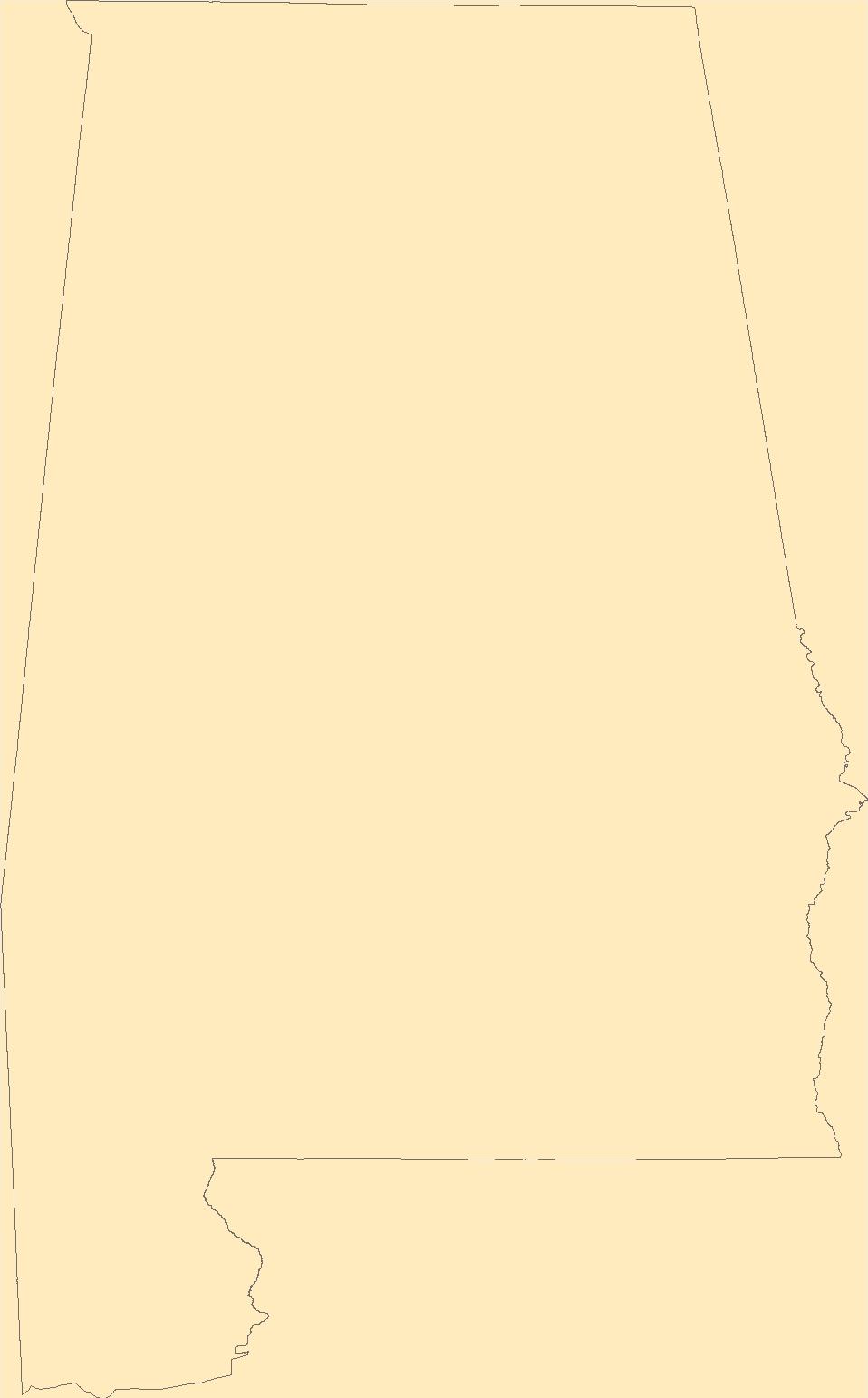
The Geographic Names Information System (GNIS) is the Federal standard for geographic nomenclature. The U.S. Geological Survey developed the GNIS for the U.S. Board on Geographic Names, a Federal inter-agency body chartered by public law to maintain uniform feature name usage throughout the Government and to promulgate standard names to the public. The GNIS is the official repository of domestic geographic names data; the official vehicle for geographic names use by all departments of the Federal Government; and the source for applying geographic names to Federal electronic and printed products of all types.
Tags: AL,
Alabama,
Antarctica,
Antarctica,
Autauga, All tags...
BGN,
Baldwin,
Barbour,
Bibb,
Blount,
Board on Geographic Names,
Borough,
Bullock,
Butler,
Calhoun,
Census Area,
Chambers,
Cherokee,
Chilton,
Choctaw,
Clarke,
Clay,
Cleburne,
Coffee,
Colbert,
Commonwealth,
Conecuh,
Coosa,
County,
Covington,
Crenshaw,
Cullman,
Dale,
Dallas,
DeKalb,
District,
Downloadable Data,
Elmore,
Escambia,
Etowah,
Fayette,
Feature class,
Feature coordinates,
Feature county,
Feature description,
Feature designation,
Feature history,
Feature indentification,
Feature name,
Feature state,
Franklin,
GNIS,
Geneva,
Geographic Names,
Geographic Names Domestic Names,
Geographic Names Information System,
Geographic feature,
Geographic name,
Geographical feature,
Geographical name,
Greene,
Hale,
Henry,
Houston,
Jackson,
Jefferson,
Lamar,
Lauderdale,
Lawrence,
Lee,
Limestone,
Lowndes,
Macon,
Madison,
Marengo,
Marion,
Marshall,
Mobile,
Monroe,
Montgomery,
Morgan,
Municipio,
National Geographic Names Information System (GNIS),
National Geographic Names Information System (GNIS),
Official feature name,
Outlying Area,
Parish,
Perry,
Pickens,
Pike,
Place name,
Populated Place,
Randolph,
Russell,
Shelby,
St. Clair,
State,
Sumter,
TXT (pipes),
Talladega,
Tallapoosa,
Territories,
Territory,
Topographic Map,
Tuscaloosa,
U.S. Board on Geographic Names,
U.S. Geological Survey,
US,
USA,
USBGN,
USGS,
UTF-8 Pipe Delimited Text File nan,
United States,
United States,
United States,
Variant name,
Walker,
Washington,
Wilcox,
Winston,
antarctic,
database,
economy,
environment,
feature,
gazetteer,
geographic,
geographic names,
geographical,
geography,
geospatial,
imageryBaseMapsEarthCover,
inlandWaters,
location,
map,
name,
place,
placename,
society,
structure,
topographic map,
toponymy, Fewer tags
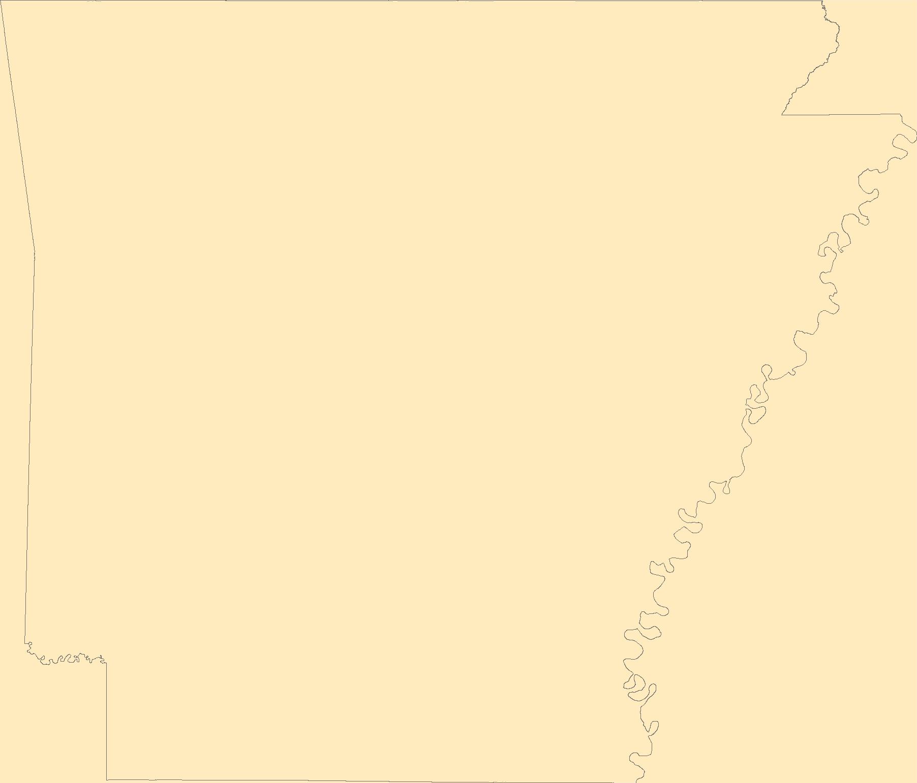
The Geographic Names Information System (GNIS) is the Federal standard for geographic nomenclature. The U.S. Geological Survey developed the GNIS for the U.S. Board on Geographic Names, a Federal inter-agency body chartered by public law to maintain uniform feature name usage throughout the Government and to promulgate standard names to the public. The GNIS is the official repository of domestic geographic names data; the official vehicle for geographic names use by all departments of the Federal Government; and the source for applying geographic names to Federal electronic and printed products of all types.
Tags: AR,
Antarctica,
Antarctica,
Arkansas,
Arkansas, All tags...
Ashley,
BGN,
Baxter,
Benton,
Board on Geographic Names,
Boone,
Borough,
Bradley,
Calhoun,
Carroll,
Census Area,
Chicot,
Clark,
Clay,
Cleburne,
Cleveland,
Columbia,
Commonwealth,
Conway,
County,
Craighead,
Crawford,
Crittenden,
Cross,
Dallas,
Desha,
District,
Downloadable Data,
Drew,
Faulkner,
Feature class,
Feature coordinates,
Feature county,
Feature description,
Feature designation,
Feature history,
Feature indentification,
Feature name,
Feature state,
Franklin,
Fulton,
GNIS,
Garland,
Geographic Names,
Geographic Names Domestic Names,
Geographic Names Information System,
Geographic feature,
Geographic name,
Geographical feature,
Geographical name,
Grant,
Greene,
Hempstead,
Hot Spring,
Howard,
Independence,
Izard,
Jackson,
Jefferson,
Johnson,
Lafayette,
Lawrence,
Lee,
Lincoln,
Little River,
Logan,
Lonoke,
Madison,
Marion,
Miller,
Mississippi,
Monroe,
Montgomery,
Municipio,
National Geographic Names Information System (GNIS),
National Geographic Names Information System (GNIS),
Nevada,
Newton,
Official feature name,
Ouachita,
Outlying Area,
Parish,
Perry,
Phillips,
Pike,
Place name,
Poinsett,
Polk,
Pope,
Populated Place,
Prairie,
Pulaski,
Randolph,
Saline,
Scott,
Searcy,
Sebastian,
Sevier,
Sharp,
St. Francis,
State,
Stone,
TXT (pipes),
Territories,
Territory,
Topographic Map,
U.S. Board on Geographic Names,
U.S. Geological Survey,
US,
USA,
USBGN,
USGS,
UTF-8 Pipe Delimited Text File nan,
Union,
United States,
United States,
United States,
Van Buren,
Variant name,
Washington,
White,
Woodruff,
Yell,
antarctic,
database,
economy,
environment,
feature,
gazetteer,
geographic,
geographic names,
geographical,
geography,
geospatial,
imageryBaseMapsEarthCover,
inlandWaters,
location,
map,
name,
place,
placename,
society,
structure,
topographic map,
toponymy, Fewer tags
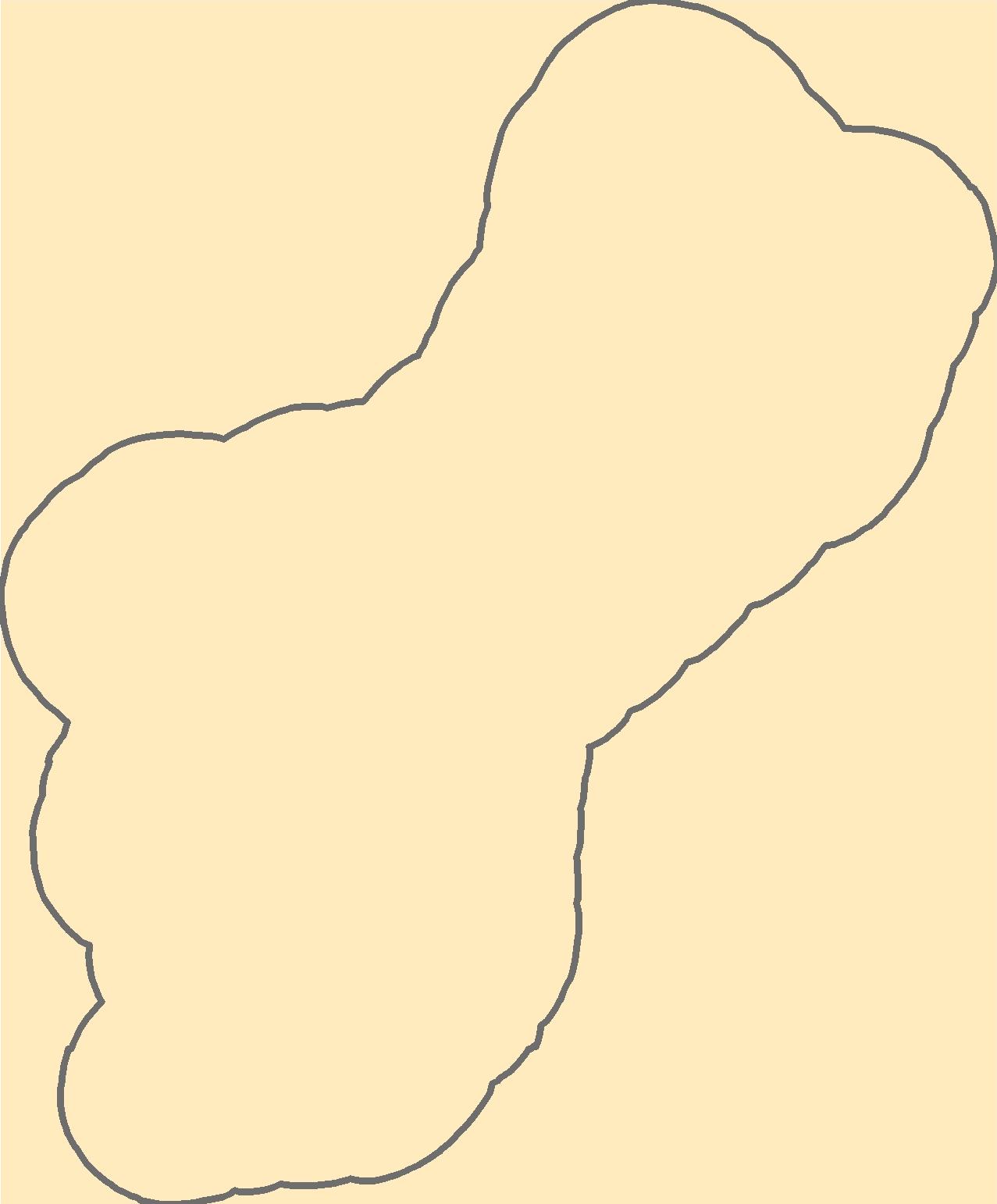
The Geographic Names Information System (GNIS) is the Federal standard for geographic nomenclature. The U.S. Geological Survey developed the GNIS for the U.S. Board on Geographic Names, a Federal inter-agency body chartered by public law to maintain uniform feature name usage throughout the Government and to promulgate standard names to the public. The GNIS is the official repository of domestic geographic names data; the official vehicle for geographic names use by all departments of the Federal Government; and the source for applying geographic names to Federal electronic and printed products of all types.
Tags: Antarctica,
Antarctica,
BGN,
Board on Geographic Names,
Borough, All tags...
Census Area,
Commonwealth,
County,
District,
Downloadable Data,
Feature class,
Feature coordinates,
Feature county,
Feature description,
Feature designation,
Feature history,
Feature indentification,
Feature name,
Feature state,
GNIS,
GU,
Geographic Names,
Geographic Names Domestic Names,
Geographic Names Information System,
Geographic feature,
Geographic name,
Geographical feature,
Geographical name,
Guam,
Guam,
Municipio,
National Geographic Names Information System (GNIS),
National Geographic Names Information System (GNIS),
Official feature name,
Outlying Area,
Parish,
Place name,
Populated Place,
State,
TXT (pipes),
Territories,
Territory,
Topographic Map,
U.S. Board on Geographic Names,
U.S. Geological Survey,
US,
USA,
USBGN,
USGS,
UTF-8 Pipe Delimited Text File nan,
United States,
United States,
United States,
Variant name,
antarctic,
database,
economy,
environment,
feature,
gazetteer,
geographic,
geographic names,
geographical,
geography,
geospatial,
imageryBaseMapsEarthCover,
inlandWaters,
location,
map,
name,
place,
placename,
society,
structure,
topographic map,
toponymy, Fewer tags
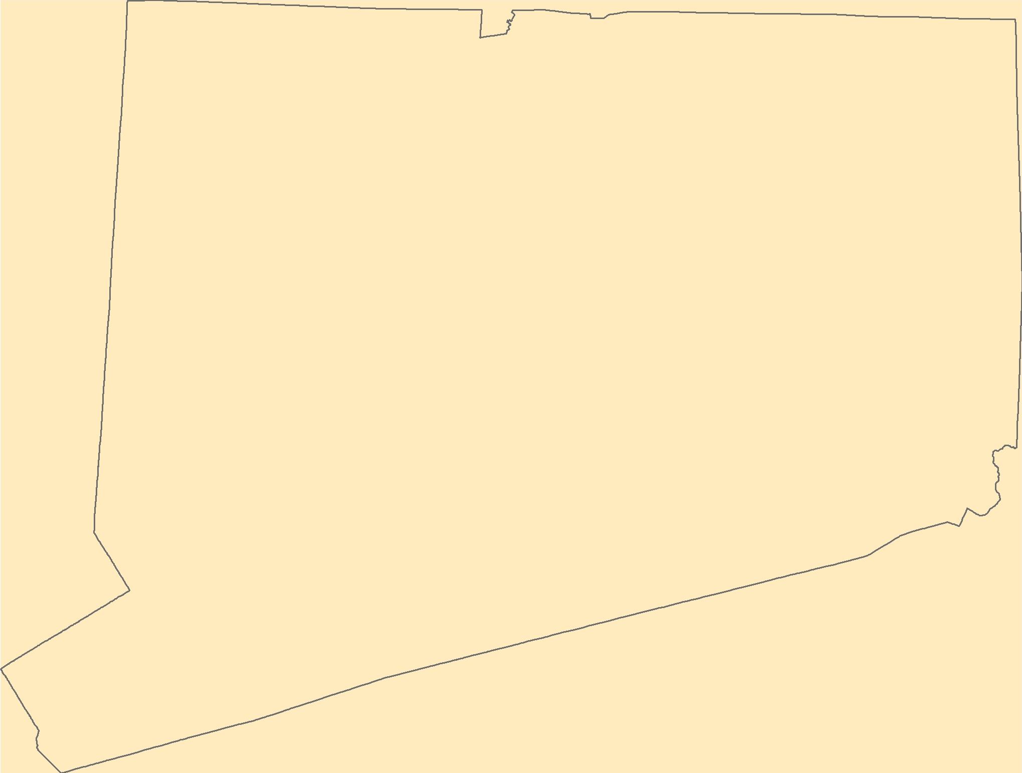
The Geographic Names Information System (GNIS) is the Federal standard for geographic nomenclature. The U.S. Geological Survey developed the GNIS for the U.S. Board on Geographic Names, a Federal inter-agency body chartered by public law to maintain uniform feature name usage throughout the Government and to promulgate standard names to the public. The GNIS is the official repository of domestic geographic names data; the official vehicle for geographic names use by all departments of the Federal Government; and the source for applying geographic names to Federal electronic and printed products of all types.
Tags: Antarctica,
Antarctica,
BGN,
Board on Geographic Names,
Borough, All tags...
CT,
Capitol,
Census Area,
Commonwealth,
Connecticut,
County,
District,
Downloadable Data,
Feature class,
Feature coordinates,
Feature county,
Feature description,
Feature designation,
Feature history,
Feature indentification,
Feature name,
Feature state,
GNIS,
Geographic Names,
Geographic Names Domestic Names,
Geographic Names Information System,
Geographic feature,
Geographic name,
Geographical feature,
Geographical name,
Greater Bridgeport,
Lower Connecticut River Valley,
Municipio,
National Geographic Names Information System (GNIS),
National Geographic Names Information System (GNIS),
Naugatuck Valley,
Northeastern Connecticut,
Northwest Hills,
Official feature name,
Outlying Area,
Parish,
Place name,
Populated Place,
South Central Connecticut,
Southeastern Connecticut,
State,
TXT (pipes),
Territories,
Territory,
Topographic Map,
U.S. Board on Geographic Names,
U.S. Geological Survey,
US,
USA,
USBGN,
USGS,
UTF-8 Pipe Delimited Text File nan,
United States,
United States,
United States,
Variant name,
Western Connecticut,
antarctic,
database,
economy,
environment,
feature,
gazetteer,
geographic,
geographic names,
geographical,
geography,
geospatial,
imageryBaseMapsEarthCover,
inlandWaters,
location,
map,
name,
place,
placename,
society,
structure,
topographic map,
toponymy, Fewer tags

This imagery dataset consists of 3-meter resolution, lidar-derived imagery of the Carlisle 30 x 60 minute quadrangle in Pennsylvania. The source data used to construct this imagery consists of 1-meter resolution lidar-derived digital elevation models (DEMs). The lidar source data were compiled from different acquisitions published between 2019 and 2020 and downloaded from the USGS National Map TNM Download. The data were processed using geographic information systems (GIS) software. The data is projected in WGS 1984 Web Mercator. This representation illustrates the terrain as a hillshade with contrast adjusted to highlight local relief according to a topographic position index (TPI) calculation.
Categories: Data;
Types: Downloadable,
GeoTIFF,
Map Service,
OGC WFS Layer,
OGC WMS Layer,
OGC WMS Service,
Raster;
Tags: Geography,
Land Use Change,
Pennsylvania,
Water Resources,
digital elevation models, All tags...
elevation,
image collections,
lidar,
topography, Fewer tags

The Geographic Names Information System (GNIS) is the Federal standard for geographic nomenclature. The U.S. Geological Survey developed the GNIS for the U.S. Board on Geographic Names, a Federal inter-agency body chartered by public law to maintain uniform feature name usage throughout the Government and to promulgate standard names to the public. The GNIS is the official repository of domestic geographic names data; the official vehicle for geographic names use by all departments of the Federal Government; and the source for applying geographic names to Federal electronic and printed products of all types.
Tags: Adams,
Antarctica,
Antarctica,
BGN,
Barnes, All tags...
Benson,
Billings,
Board on Geographic Names,
Borough,
Bottineau,
Bowman,
Burke,
Burleigh,
Cass,
Cavalier,
Census Area,
Commonwealth,
County,
Dickey,
District,
Divide,
Downloadable Data,
Dunn,
Eddy,
Emmons,
Esri File GeoDatabase 10,
Feature class,
Feature coordinates,
Feature county,
Feature description,
Feature designation,
Feature history,
Feature indentification,
Feature name,
Feature state,
FileGDB,
Foster,
GNIS,
Geographic Names,
Geographic Names Full Model,
Geographic Names Information System,
Geographic feature,
Geographic name,
Geographical feature,
Geographical name,
Golden Valley,
Grand Forks,
Grant,
Griggs,
Hettinger,
Kidder,
LaMoure,
Logan,
McHenry,
McIntosh,
McKenzie,
McLean,
Mercer,
Morton,
Mountrail,
Municipio,
ND,
National Geographic Names Information System (GNIS),
National Geographic Names Information System (GNIS),
Nelson,
North Dakota,
Official feature name,
Oliver,
Outlying Area,
Parish,
Pembina,
Pierce,
Place name,
Populated Place,
Ramsey,
Ransom,
Renville,
Richland,
Rolette,
Sargent,
Sheridan,
Sioux,
Slope,
Stark,
State,
Steele,
Stutsman,
Territories,
Territory,
Topographic Map,
Towner,
Traill,
U.S. Board on Geographic Names,
U.S. Geological Survey,
US,
USA,
USBGN,
USGS,
United States,
United States,
United States,
Variant name,
Walsh,
Ward,
Wells,
Williams,
antarctic,
database,
economy,
environment,
feature,
gazetteer,
geographic,
geographic names,
geographical,
geography,
geospatial,
imageryBaseMapsEarthCover,
inlandWaters,
location,
map,
name,
place,
placename,
society,
structure,
topographic map,
toponymy, Fewer tags
|
|


