Filters: Tags: Glacier Peak (X)
14 results (97ms)|
Filters
Date Range
Types Contacts
Tag Types Tag Schemes |
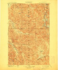
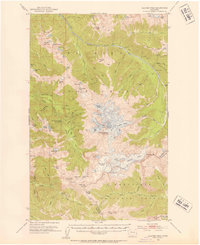
USGS Historical Quadrangle in GeoPDF.

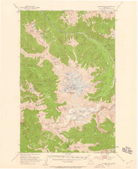
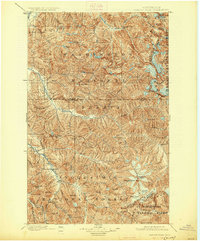
USGS Historical Quadrangle in GeoPDF.

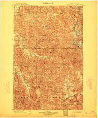
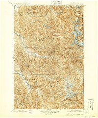
USGS Historical Quadrangle in GeoPDF.
Glacier Peak is a 3,214 m (10,544 ft.) stratovolcano composed mainly of dacite. The volcano is located in the Glacier Peak Wilderness Area, in the Mt. Baker-Snoqualmie National Forest, about 100 km (65 mi) northeast of Seattle and 110 km (70 mi) south of the International Boundary with Canada. Since the continental ice sheets receded from the region approximately 15,000 years ago, Glacier Peak has erupted repeatedly during at least six episodes. Two of these eruptions were among the largest in the Cascades during this time period. This DEM (digital elevation model) of Glacier Peak is the product of high-precision airborne lidar (Light Detection and Ranging) surveys performed during August-November, 2014 and June,...
Types: Citation;
Tags: Bare Earth,
Bare Earth Hydroflattened,
Breaklines,
DEM,
Digital Elevation Model,
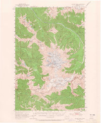
USGS Historical Quadrangle in GeoPDF.
USGS Historical Quadrangle in GeoPDF.
USGS Historical Quadrangle in GeoPDF.
USGS Historical Quadrangle in GeoPDF.
This zip folder contains ASCII text files of vectors at the specified volcano at 12-hour intervals, from January 1, 1990 through December 28, 2009. The wind vectors are divided into five files, names by their elevation range above sea level in the atmosphere: 00-05km.txt; 05-11km.txt; 11-16km.txt; 16-24km.txt; and 24-30km.txt. The zip folder also contains a subfolder "figures", with Wind rose plots of wind direction and speed over this time period. The plots are by season, and by elevation, given a total of 20 plots (4 seasons, 5 elevation ranges). A summary plot is also included which gives the year-round wind pattern at the volcano, at 0-5 km elevation. Plots are in both jpg and pdf format.

USGS Historical Quadrangle in GeoPDF.
USGS Historical Quadrangle in GeoPDF.

USGS Historical Quadrangle in GeoPDF.

USGS Historical Quadrangle in GeoPDF.
USGS Historical Quadrangle in GeoPDF.
|

|
