Filters: Tags: Grand Falls (X) > partyWithName: U.S. Geological Survey (X)
4 results (54ms)|
Filters
Date Range
Contacts Categories Tag Types Tag Schemes |
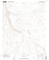
USGS Historical Quadrangle in GeoPDF.
Grand Falls dune field (GFDF) is located on the Navajo Nation, ~70 km NE of Flagstaff, AZ. This active dune field displays a range of morphologies, including barchans, smaller dunes, and ripples, and is bimodal in composition. The felsic component is likely derived from the Little Colorado River, and the mafic component (basaltic grains) is locally sourced from nearby cinder cones [1]. GFDF is an excellent analog site for both active dunes on Mars and other planetary bodies that have dune-like features (e.g., Venus and Titan). We have set up a meteorological station within the dune field that records temperature, barometric pressure, relative humidity, wind direction, wind speed, solar radiation, and precipitation...
Categories: Data;
Tags: Arizona,
Climatology,
Grand Falls,
Navajo Indian Reservation,
Planetary Sciences,
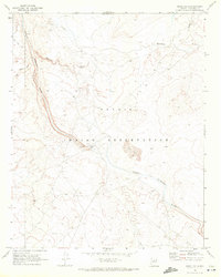
USGS Historical Quadrangle in GeoPDF.
These data include geospatial files (shapefiles and orthorectified raster images) and an input hydrograph (csv) for a 1-dimensional unsteady hydrologic model. Shapefiles consist of active channel boundarys and channel centerlines of six reaches of the LCR beginning ~4.5 km above Grand Falls, AZ, and ending ~12.8 km downstream from Cameron, AZ. These reaches are (1) the ~4.5 km above Grand Falls reach, (2) the 1.5km below Grand Falls reach, (3) the ~18.8 km Black Falls reach, (4) the ~16.5 km above Cameron reach, (5) the ~4.7 km Cameron to Moenkopi reach, and (6) the ~8.1 km below Moenkopi reach. Raster images consist of orthorectified aerial photograph mosaics between 1933/34 and 1992. Scans of the images were acquired...
|

|
