Filters: Tags: Greenland (X)
96 results (103ms)|
Filters
Date Range
Extensions Types
Contacts
Categories Tag Types
|
This data set contains imagery from the National Agriculture Imagery Program (NAIP). The NAIP program is administered by USDA FSA and has been established to support two main FSA strategic goals centered on agricultural production. These are increase stewardship of America's natural resources while enhancing the environment, and to ensure commodities are procured and distributed effectively and efficiently to increase food security. The NAIP program supports these goals by acquiring and providing ortho imagery that has been collected during the agricultural growing season in the U.S. The NAIP ortho imagery is tailored to meet FSA requirements and is a fundamental tool used to support FSA farm and conservation programs....
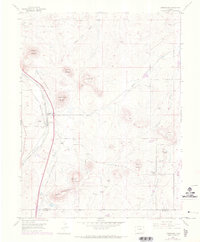
USGS Historical Quadrangle in GeoPDF.
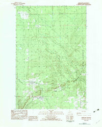
USGS Historical Quadrangle in GeoPDF.
These data are sulfur isotope determinations (34S/32S ratios) for sulfur-bearing minerals collected from epithermal veins in the Lowland mining district, Montana, USA and from metasedimentary rocks that host the Black Angel zinc-lead-silver deposit, Greenland. The samples were collected by cooperators as parts of larger ore genesis studies. The determinations were performed between February 2019 and March 2021 on 35 samples of pyrite, sphalerite, galena, and chalcopyrite from Lowland vein occurrences and 5 samples of anhydrite from Black Angel host rocks.
Categories: Data;
Tags: <1GB,
GGGSC,
Geology, Geophysics, and Geochemistry Science Center,
Greenland,
Jefferson County,
This data set contains imagery from the National Agriculture Imagery Program (NAIP). The NAIP program is administered by USDA FSA and has been established to support two main FSA strategic goals centered on agricultural production. These are, increase stewardship of America's natural resources while enhancing the environment, and to ensure commodities are procured and distributed effectively and efficiently to increase food security. The NAIP program supports these goals by acquiring and providing ortho imagery that has been collected during the agricultural growing season in the U.S. The NAIP ortho imagery is tailored to meet FSA requirements and is a fundamental tool used to support FSA farm and conservation programs....
This data set contains imagery from the National Agriculture Imagery Program (NAIP). The NAIP program is administered by USDA FSA and has been established to support two main FSA strategic goals centered on agricultural production. These are increase stewardship of America's natural resources while enhancing the environment, and to ensure commodities are procured and distributed effectively and efficiently to increase food security. The NAIP program supports these goals by acquiring and providing ortho imagery that has been collected during the agricultural growing season in the U.S. The NAIP ortho imagery is tailored to meet FSA requirements and is a fundamental tool used to support FSA farm and conservation programs....
This dataset contains the Flow Accumulation (FA) for Greenland from the Hydrologic Derivatives for Modeling and Analysis (HDMA) database. The HDMA database provides comprehensive and consistent global coverage of raster and vector topographically derived layers, including raster layers of digital elevation model (DEM) data, flow direction, flow accumulation, slope, and compound topographic index (CTI); and vector layers of streams and catchment boundaries. The coverage of the data is global (-180º, 180º, -90º, 90º) with the underlying DEM being a hybrid of three datasets: HydroSHEDS (Hydrological data and maps based on SHuttle Elevation Derivatives at multiple Scales), Global Multi-resolution Terrain Elevation Data...
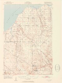
USGS Historical Quadrangle in GeoPDF.
|

|
