Filters: Tags: Gunnison County (X)
394 results (36ms)|
Filters
Contacts
(Less)
|
EAST RIVER BELOW CEMENT CREEK NR CRESTED BUTTE, CO
EAST RIVER BELOW CEMENT CREEK NR CRESTED BUTTE, CO
EAST RIVER BELOW CEMENT CREEK NR CRESTED BUTTE, CO
EAST RIVER BELOW CEMENT CREEK NR CRESTED BUTTE, CO
GUNNISON RIVER AT CNTY RD 32 BELOW GUNNISON, CO
This U.S. Geological Survey (USGS) data release provides whole rock major, minor, and trace element geochemical data from the fluorine-rich Mount Emmons-Redwell porphyry molybdenum (Climax-type) deposit (Mt. Emmons-Redwell deposit), located approximately 5.6 km (3.5 mi) northwest of Crested Butte, Colorado. The Mt. Emmons-Redwell deposit partly underlies Redwell Basin on the northwest flank of Mount Emmons in the west-central region of the Colorado Mineral Belt. Mineralization of the Mt. Emmons-Redwell deposit occurs at depth as vein, veinlet, stockwork, and fracture-hosted Climax-type mineralization [308 Mt at 0.32% Mo (Galey, 1978; Guarnera and Anderson, 2007)], and is associated with the Mt. Emmons igneous complex....
Categories: Data;
Types: Downloadable,
Map Service,
OGC WFS Layer,
OGC WMS Layer,
Shapefile;
Tags: <1GB,
Climax-type deposit,
Colorado,
Colorado Mineral Belt,
Crested Butte,
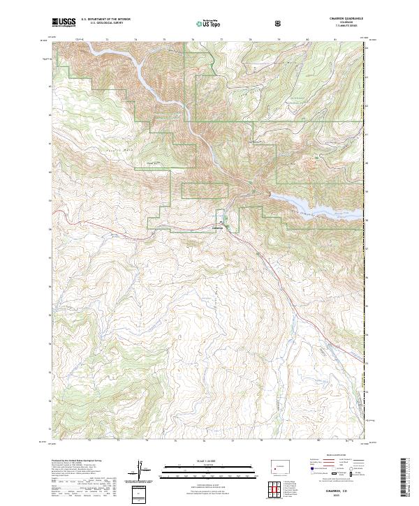
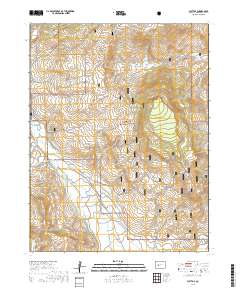
Layered geospatial PDF 7.5 Minute Quadrangle Map. Layers of geospatial data include orthoimagery, roads, grids, geographic names, elevation contours, hydrography, and other selected map features. This map is derived from GIS (geospatial information system) data. It represents a repackaging of GIS data in traditional map form, not creation of new information. The geospatial data in this map are from selected National Map data holdings and other government sources.
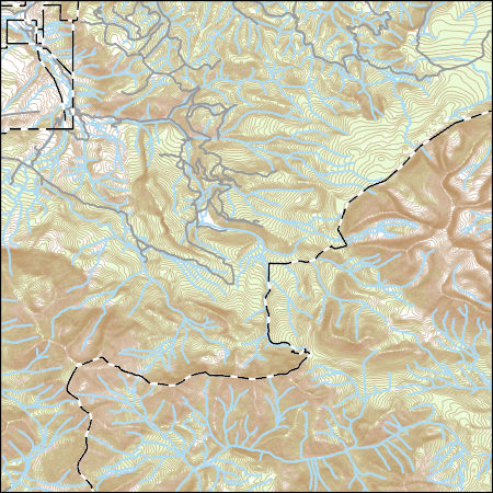
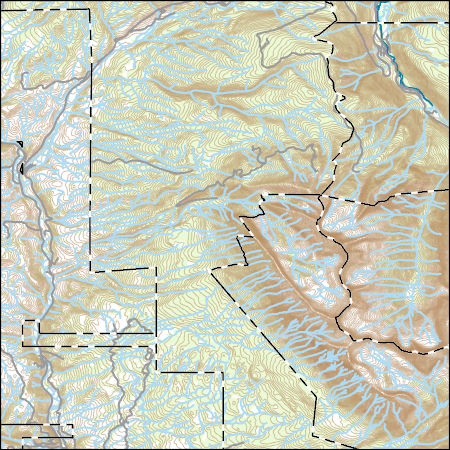
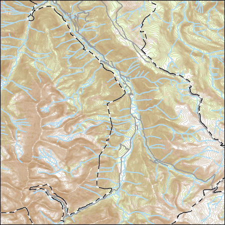
Layers of geospatial data include contours, boundaries, land cover, hydrography, roads, transportation, geographic names, structures, and other selected map features.
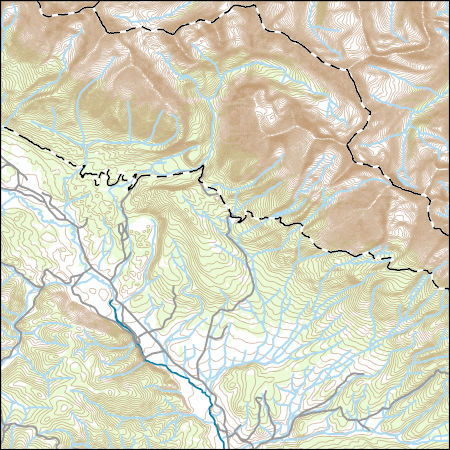
Layers of geospatial data include contours, boundaries, land cover, hydrography, roads, transportation, geographic names, structures, and other selected map features.
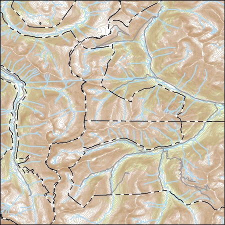
Layers of geospatial data include contours, boundaries, land cover, hydrography, roads, transportation, geographic names, structures, and other selected map features.
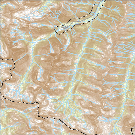
Layers of geospatial data include contours, boundaries, land cover, hydrography, roads, transportation, geographic names, structures, and other selected map features.
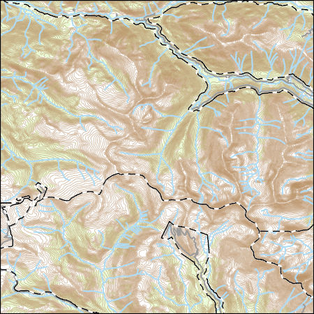
Layers of geospatial data include contours, boundaries, land cover, hydrography, roads, transportation, geographic names, structures, and other selected map features.

Layers of geospatial data include contours, boundaries, land cover, hydrography, roads, transportation, geographic names, structures, and other selected map features.
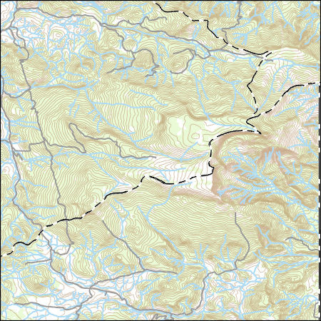
Layers of geospatial data include contours, boundaries, land cover, hydrography, roads, transportation, geographic names, structures, and other selected map features.
Layers of geospatial data include contours, boundaries, land cover, hydrography, roads, transportation, geographic names, structures, and other selected map features.
Layers of geospatial data include contours, boundaries, land cover, hydrography, roads, transportation, geographic names, structures, and other selected map features.
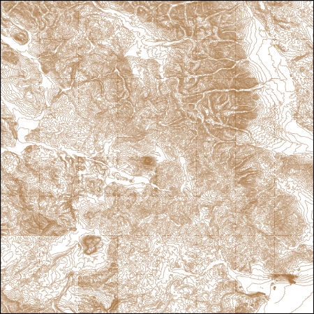
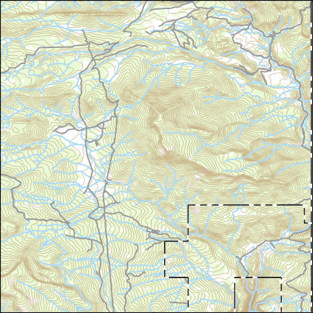
These vector contour lines are derived from the 3D Elevation Program using automated and semi-automated processes. They were created to support 1:24,000-scale CONUS and Hawaii, 1:25,000-scale Alaska, and 1:20,000-scale Puerto Rico / US Virgin Island topographic map products, but are also published in this GIS vector format. Contour intervals are assigned by 7.5-minute quadrangle, so this vector dataset is not visually seamless across quadrangle boundaries. The vector lines have elevation attributes (in feet above mean sea level on NAVD88), but this dataset does not carry line symbols or annotation.
Layers of geospatial data include contours, boundaries, land cover, hydrography, roads, transportation, geographic names, structures, and other selected map features.
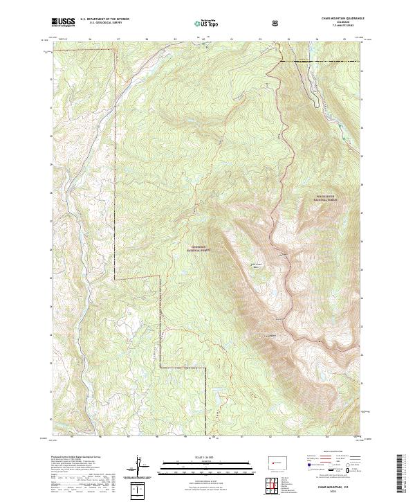
Layered geospatial PDF 7.5 Minute Quadrangle Map. Layers of geospatial data include orthoimagery, roads, grids, geographic names, elevation contours, hydrography, and other selected map features. This map is derived from GIS (geospatial information system) data. It represents a repackaging of GIS data in traditional map form, not creation of new information. The geospatial data in this map are from selected National Map data holdings and other government sources.
Layered geospatial PDF 7.5 Minute Quadrangle Map. Layers of geospatial data include orthoimagery, roads, grids, geographic names, elevation contours, hydrography, and other selected map features. This map is derived from GIS (geospatial information system) data. It represents a repackaging of GIS data in traditional map form, not creation of new information. The geospatial data in this map are from selected National Map data holdings and other government sources.
|

|
