Filters: Tags: HARPERS FERRY (X)
34 results (60ms)|
Filters
Date Range
Types Contacts
Tag Types Tag Schemes |
U.S. Geological Survey (USGS) scientists completed a multidisciplinary data collection effort during the week of October 21-25, 2019, using new technologies to map and validate bathymetry over a large stretch of the non-tidal Potomac River. The work was initiated as an effort to validate commercially-acquired topobathymetric light detection and ranging (lidar) data funded through a partnership between the USGS and the Interstate Commission on the Potomac River Basin (ICPRB). The goal was to compare airborne lidar data to bathymetric data collected through more traditional means (boat-based sonar, wading Real Time Kinematic Global Navigational Satellite System (RTK-GNSS) surveys) and through unmanned aerial systems...
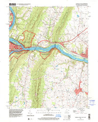
USGS Historical Quadrangle in GeoPDF.

USGS Historical Quadrangle in GeoPDF.

USGS Historical Quadrangle in GeoPDF.
The vegetation spatial database coverage (vegetation map) is a product of the Effigy Mounds National Monument Vegetation Mapping Project, USGS-NPS Vegetation Mapping Program (VMP). The U.S. Geological Survey (USGS) Upper Midwest Environmental Sciences Center (UMESC) in La Crosse, Wisconsin, and the Minneapolis Office of NatureServe in Minneapolis, Minnesota, have completed mapping and classification of existing plant communities of Effigy Mounds National Monument (EFMO) and extended surroundings. Photointerpreters, ecologists, and botanists collaborated to describe National Vegetation Classification System (NVCS) plant communities (associations) and determine how best to map them using aerial photographs. --- Two...
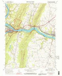
USGS Historical Quadrangle in GeoPDF.
USGS Historical Quadrangle in GeoPDF.
This data set contains imagery from the National Agriculture Imagery Program (NAIP). The NAIP program is administered by USDA FSA and has been established to support two main FSA strategic goals centered on agricultural production. These are, increase stewardship of America's natural resources while enhancing the environment, and to ensure commodities are procured and distributed effectively and efficiently to increase food security. The NAIP program supports these goals by acquiring and providing ortho imagery that has been collected during the agricultural growing season in the U.S. The NAIP ortho imagery is tailored to meet FSA requirements and is a fundamental tool used to support FSA farm and conservation programs....
This data set contains imagery from the National Agriculture Imagery Program (NAIP). The NAIP program is administered by USDA FSA and has been established to support two main FSA strategic goals centered on agricultural production. These are, increase stewardship of America's natural resources while enhancing the environment, and to ensure commodities are procured and distributed effectively and efficiently to increase food security. The NAIP program supports these goals by acquiring and providing ortho imagery that has been collected during the agricultural growing season in the U.S. The NAIP ortho imagery is tailored to meet FSA requirements and is a fundamental tool used to support FSA farm and conservation programs....
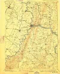
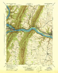
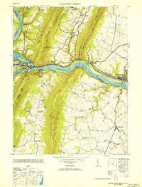
USGS Historical Quadrangle in GeoPDF.
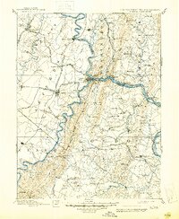
USGS Historical Quadrangle in GeoPDF.
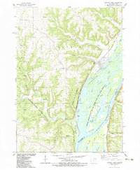
USGS Historical Quadrangle in GeoPDF.
This data set contains imagery from the National Agriculture Imagery Program (NAIP). The NAIP program is administered by USDA FSA and has been established to support two main FSA strategic goals centered on agricultural production. These are, increase stewardship of America's natural resources while enhancing the environment, and to ensure commodities are procured and distributed effectively and efficiently to increase food security. The NAIP program supports these goals by acquiring and providing ortho imagery that has been collected during the agricultural growing season in the U.S. The NAIP ortho imagery is tailored to meet FSA requirements and is a fundamental tool used to support FSA farm and conservation programs....
This data set contains imagery from the National Agriculture Imagery Program (NAIP). The NAIP program is administered by USDA FSA and has been established to support two main FSA strategic goals centered on agricultural production. These are, increase stewardship of America's natural resources while enhancing the environment, and to ensure commodities are procured and distributed effectively and efficiently to increase food security. The NAIP program supports these goals by acquiring and providing ortho imagery that has been collected during the agricultural growing season in the U.S. The NAIP ortho imagery is tailored to meet FSA requirements and is a fundamental tool used to support FSA farm and conservation programs....
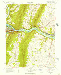
|

|
