Filters: Tags: HOPE VALLEY (X)
17 results (21ms)|
Filters
Date Range
Types Contacts
Categories Tag Types
|
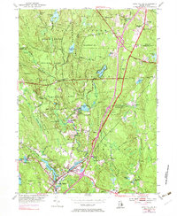
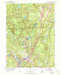
USGS Historical Quadrangle in GeoPDF.
This data set contains imagery from the National Agriculture Imagery Program (NAIP). The NAIP program is administered by USDA FSA and has been established to support two main FSA strategic goals centered on agricultural production. These are, increase stewardship of America's natural resources while enhancing the environment, and to ensure commodities are procured and distributed effectively and efficiently to increase food security. The NAIP program supports these goals by acquiring and providing ortho imagery that has been collected during the agricultural growing season in the U.S. The NAIP ortho imagery is tailored to meet FSA requirements and is a fundamental tool used to support FSA farm and conservation programs....
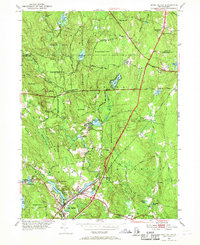
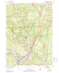
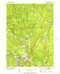
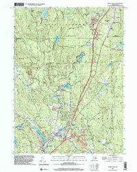
USGS Historical Quadrangle in GeoPDF.
This data release, RI_WRpts.gdb, consists of information from Rhode Island Ground-water maps published by the Rhode Island Water Resources Coordinating Board, the Rhode Island Port and Industrial Development Commission, Rhode Island Industrial Commission, and the Rhode Island Development Council; in cooperation with the U.S. Geological Survey. The point data on these maps have been digitized into a standard ArcGIS geodatabase format. Data about wells and test borings consists of geographic location, identification number, geologic material (bedrock or unconsolidated), altitude in feet of the bedrock surface or altitude of the bottom of well, and data source. Seismic survey locations and bedrock outcrops where they...
This data set contains imagery from the National Agriculture Imagery Program (NAIP). The NAIP program is administered by USDA FSA and has been established to support two main FSA strategic goals centered on agricultural production. These are, increase stewardship of America's natural resources while enhancing the environment, and to ensure commodities are procured and distributed effectively and efficiently to increase food security. The NAIP program supports these goals by acquiring and providing ortho imagery that has been collected during the agricultural growing season in the U.S. The NAIP ortho imagery is tailored to meet FSA requirements and is a fundamental tool used to support FSA farm and conservation programs....
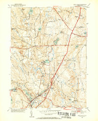
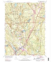
USGS Historical Quadrangle in GeoPDF.
Quartz knot in Hope Valley Alaskite Gneiss with two distinct sets of fractures. The stronger fracture parallels the knife and is north 16 degrees east, 80 degrees south, and the weaker fracture parallels the hammer handle and is north 80 degrees west vertical. 0.92 mile north, 52 degrees east of the outlet of Green Fall Pond, Voluntown. New London County, Connecticut. July 1962.
Categories: Image;
Tags: Feininger, T.G. Collection,
Hope Valley,
New London County, Connecticut,
Photographers,
photo print
This data set contains imagery from the National Agriculture Imagery Program (NAIP). The NAIP program is administered by USDA FSA and has been established to support two main FSA strategic goals centered on agricultural production. These are, increase stewardship of America's natural resources while enhancing the environment, and to ensure commodities are procured and distributed effectively and efficiently to increase food security. The NAIP program supports these goals by acquiring and providing ortho imagery that has been collected during the agricultural growing season in the U.S. The NAIP ortho imagery is tailored to meet FSA requirements and is a fundamental tool used to support FSA farm and conservation programs....
USGS Historical Quadrangle in GeoPDF.
USGS Historical Quadrangle in GeoPDF.
USGS Historical Quadrangle in GeoPDF.
USGS Historical Quadrangle in GeoPDF.
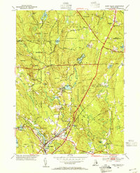
USGS Historical Quadrangle in GeoPDF.
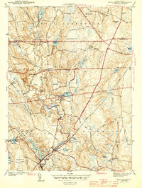
USGS Historical Quadrangle in GeoPDF.
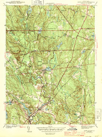
USGS Historical Quadrangle in GeoPDF.
|

|
