Filters: Tags: HUC (X)
8,387 results (13ms)|
Filters
Contacts
(Less)
|

This map service contains GIS data in NAD83 projection from the EPA Office of Water for HUC2, HUC4, HUC6, HUC8, HUC10 and HUC12 polygons for the USDA Watershed Boundary Dataset. It is available as a WFS, WMS, and REST service as well as the native MapServer service.

Derived from 1:250,000-scale USGS HUC 8 boundaries, this dataset represents the soil fine gravel fraction for the western USA. A weighted average was created for each HUC 8 watershed using approximate EMAP physical habitat substrate criteria. The values are expressed as percent by weight.

Derived from 1:250,000-scale USGS HUC 8 boundaries, this dataset represents the soil cobble fraction for the western USA. A weighted average was created for each HUC 8 watershed using approximate EMAP physical habitat substrate criteria. The values are expressed as percent by weight.

The National Hydrography Dataset (NHD) is a feature-based database that interconnects and uniquely identifies the stream segments or reaches that make up the nation's surface water drainage system. NHD data was originally developed at 1:100,000-scale and exists at that scale for the whole country. This high-resolution NHD, generally developed at 1:24,000/1:12,000 scale, adds detail to the original 1:100,000-scale NHD. (Data for Alaska, Puerto Rico and the Virgin Islands was developed at high-resolution, not 1:100,000 scale.) Local resolution NHD is being developed where partners and data exist. The NHD contains reach codes for networked features, flow direction, names, and centerline representations for areal water...
Regional regression equations were calculated in Puerto Rico with generalized least squares techniques to estimate flood frequency statistics at ungaged locations using drainage area as the only explanatory variable. The island was divided into 2 regions to minimize residuals. The region division that resulted in lower and more balanced residuals runs primarily north-south near the center of the island, mostly along an 8-digit hydrologic unit code (HUC8) boundary. The division line runs through a HUC8 polygon on the southern end of the island, but care was taken to include entire watersheds and consideration was given where hydrologic and physiographic properties differed. This data release includes geographic information...
Types: Map Service,
OGC WFS Layer,
OGC WMS Layer,
OGC WMS Service;
Tags: HUC,
Puerto Rico,
WBD,
Watershed,
Watershed Boundary Dataset,
This table contains information about the amount of each threat analysis attribute, indicator and metric quantified for the 6th level Hydrological Unit (HUC12). These attributes were calculated for the entire HUC 12, the streams within the HUC 12, or the riparian corridor within the HUC 12. The attributes were calculated using ArcMap Tools These data are provided by Bureau of Land Management (BLM) "as is" and may contain errors or omissions. The User assumes the entire risk associated with its use of these data and bears all responsibility in determining whether these data are fit for the User's intended use. The User is encouraged to carefully consider the content of the metadata file associated with these data.
Terrestrial Ecological Intactness on Federally Managed Lands with CE Richness These data are provided by Bureau of Land Management (BLM) "as is" and may contain errors or omissions. The User assumes the entire risk associated with its use of these data and bears all responsibility in determining whether these data are fit for the User's intended use. The User is encouraged to carefully consider the content of the metadata file associated with these data.
Types: Live Data;
Tags: BLM,
Bureau of Land Management,
CE Richness,
Conservation Element Richness,
DOI,
This dataset included the number of calculated for each 5th level HUC. CE richness was calculated for the aquatic EI by summing the number of pearl dace, the northern redbelly dace x finescale dace hybrid, paddlefish, pallid sturgeon, and sauger per 5th level watershed These data are provided by Bureau of Land Management (BLM) "as is" and may contain errors or omissions. The User assumes the entire risk associated with its use of these data and bears all responsibility in determining whether these data are fit for the User's intended use. The User is encouraged to carefully consider the content of the metadata file associated with these data.
This table contains information about the amount of each threat analysis attribute, indicator and metric quantified for the 6th level Hydrological Unit (HUC12). These attributes were calculated for the entire HUC 12, the streams within the HUC 12, or the riparian corridor within the HUC 12. The attributes were calculated using ArcMap Tools These data are provided by Bureau of Land Management (BLM) "as is" and may contain errors or omissions. The User assumes the entire risk associated with its use of these data and bears all responsibility in determining whether these data are fit for the User's intended use. The User is encouraged to carefully consider the content of the metadata file associated with these data.
This table contains information about the amount of each threat analysis attribute, indicator and metric quantified for the 6th level Hydrological Unit (HUC12). These attributes were calculated for the entire HUC 12, the streams within the HUC 12, or the riparian corridor within the HUC 12. The attributes were calculated using ArcMap Tools. These data are provided by Bureau of Land Management (BLM) "as is" and may contain errors or omissions. The User assumes the entire risk associated with its use of these data and bears all responsibility in determining whether these data are fit for the User's intended use. The User is encouraged to carefully consider the content of the metadata file associated with these data.
This data set is a complete digital hydrologic unit boundary layer to the Subwatershed (12-digit) 6th level for the entire United States. This data set consists of geo-referenced digital data and associated attributes created in accordance with the "Federal Guidelines, Requirements, and Procedures for the National Watershed Boundary Dataset; Chapter 3 of Section A, Federal Standards, Book 11, Collection and Delineation of Spatial Data; Techniques and Methods 11-A3" (04/01/2009). http://www.ncgc.nrcs.usda.gov/products/datasets/watershed/index.html . Polygons are attributed with hydrologic unit codes for 4th level sub-basins, 5th level watersheds, 6th level subwatersheds, name, size, downstream hydrologic unit, type...
This geodatabse set contains the attributes and indicators associated with aquatic EI were categorized by size, landscape context, and conditionset in the Northwestern Plains Ecoregion. The data for the Aquatic EI used information from the Aquatic Threat analysis performed by the Missouri River Assesment Program (MoRAP). The MoRAP aquatic threat analysis contains information about each threat analysis attribute, indicator and metric arbitrarily quantified (1,2,3) for the 6th level Hydrological Unit (HUC12). These attributes were calculated for the entire HUC 12, the streams within the HUC 12, or the riparian corridor within the HUC 12. For this analysis MoRAP used arbitrary values were assigned good =3, fair =2...
Rating based on Percent of HUC GAP Status 1 or 2. This geodatabse set contains the attributes and indicators associated with aquatic EI were categorized by size, landscape context, and conditionset in the Middle Rockies Ecoregion. The data for the Aquatic EI used information from the Aquatic Threat analysis performed by the Missouri River Assesment Program (MoRAP). The MoRAP aquatic threat analysis contains information about each threat analysis attribute, indicator and metric arbitrarily quantified (1,2,3) for the 6th level Hydrological Unit (HUC12). These attributes were calculated for the entire HUC 12, the streams within the HUC 12, or the riparian corridor within the HUC 12. For this analysis MoRAP used arbitrary...
These data sets contain the attributes and indicators associated with aquatic EI and were categorized by size, landscape context, and conditionset in the Northwestern Plains Ecoregion. The data for the Aquatic EI used information from the Aquatic Threat analysis performed by the Missouri River Assesment Program (MoRAP). The MoRAP aquatic threat analysis contains information about each threat analysis attribute, indicator and metric arbitrarily quantified (1,2,3) for the 6th level Hydrological Unit (HUC12). These attributes were calculated for the entire HUC 12, the streams within the HUC 12, or the riparian corridor within the HUC 12. For this analysis MoRAP used arbitrary values were assigned good =3, fair =2 and...
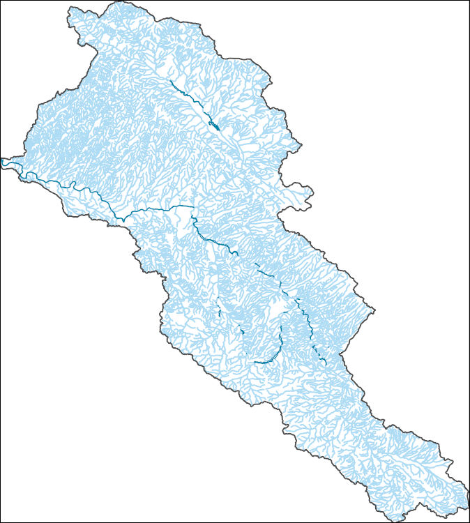
The National Hydrography Dataset (NHD) is a feature-based database that interconnects and uniquely identifies the stream segments or reaches that make up the nation's surface water drainage system. NHD data was originally developed at 1:100,000-scale and exists at that scale for the whole country. This high-resolution NHD, generally developed at 1:24,000/1:12,000 scale, adds detail to the original 1:100,000-scale NHD. (Data for Alaska, Puerto Rico and the Virgin Islands was developed at high-resolution, not 1:100,000 scale.) Local resolution NHD is being developed where partners and data exist. The NHD contains reach codes for networked features, flow direction, names, and centerline representations for areal water...

The National Hydrography Dataset (NHD) is a feature-based database that interconnects and uniquely identifies the stream segments or reaches that make up the nation's surface water drainage system. NHD data was originally developed at 1:100,000-scale and exists at that scale for the whole country. This high-resolution NHD, generally developed at 1:24,000/1:12,000 scale, adds detail to the original 1:100,000-scale NHD. (Data for Alaska, Puerto Rico and the Virgin Islands was developed at high-resolution, not 1:100,000 scale.) Local resolution NHD is being developed where partners and data exist. The NHD contains reach codes for networked features, flow direction, names, and centerline representations for areal water...
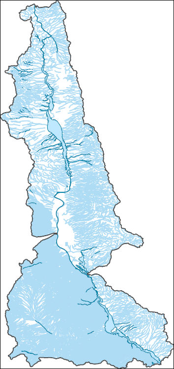
The National Hydrography Dataset (NHD) is a feature-based database that interconnects and uniquely identifies the stream segments or reaches that make up the nation's surface water drainage system. NHD data was originally developed at 1:100,000-scale and exists at that scale for the whole country. This high-resolution NHD, generally developed at 1:24,000/1:12,000 scale, adds detail to the original 1:100,000-scale NHD. (Data for Alaska, Puerto Rico and the Virgin Islands was developed at high-resolution, not 1:100,000 scale.) Local resolution NHD is being developed where partners and data exist. The NHD contains reach codes for networked features, flow direction, names, and centerline representations for areal water...
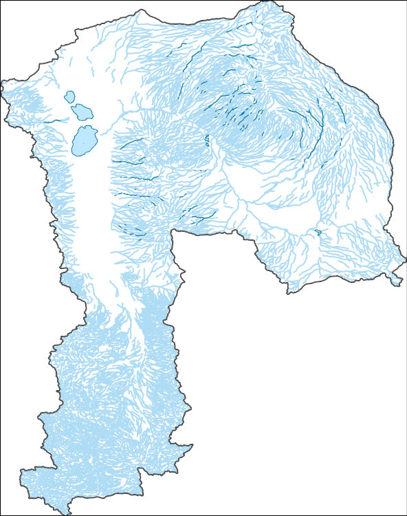
The National Hydrography Dataset (NHD) is a feature-based database that interconnects and uniquely identifies the stream segments or reaches that make up the nation's surface water drainage system. NHD data was originally developed at 1:100,000-scale and exists at that scale for the whole country. This high-resolution NHD, generally developed at 1:24,000/1:12,000 scale, adds detail to the original 1:100,000-scale NHD. (Data for Alaska, Puerto Rico and the Virgin Islands was developed at high-resolution, not 1:100,000 scale.) Local resolution NHD is being developed where partners and data exist. The NHD contains reach codes for networked features, flow direction, names, and centerline representations for areal water...
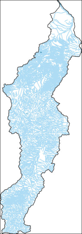
The National Hydrography Dataset (NHD) is a feature-based database that interconnects and uniquely identifies the stream segments or reaches that make up the nation's surface water drainage system. NHD data was originally developed at 1:100,000-scale and exists at that scale for the whole country. This high-resolution NHD, generally developed at 1:24,000/1:12,000 scale, adds detail to the original 1:100,000-scale NHD. (Data for Alaska, Puerto Rico and the Virgin Islands was developed at high-resolution, not 1:100,000 scale.) Local resolution NHD is being developed where partners and data exist. The NHD contains reach codes for networked features, flow direction, names, and centerline representations for areal water...
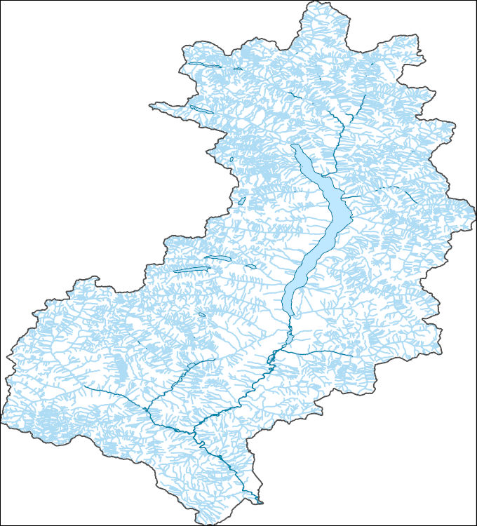
The National Hydrography Dataset (NHD) is a feature-based database that interconnects and uniquely identifies the stream segments or reaches that make up the nation's surface water drainage system. NHD data was originally developed at 1:100,000-scale and exists at that scale for the whole country. This high-resolution NHD, generally developed at 1:24,000/1:12,000 scale, adds detail to the original 1:100,000-scale NHD. (Data for Alaska, Puerto Rico and the Virgin Islands was developed at high-resolution, not 1:100,000 scale.) Local resolution NHD is being developed where partners and data exist. The NHD contains reach codes for networked features, flow direction, names, and centerline representations for areal water...
|

|