Filters: Tags: Half Moon Bay (X)
21 results (36ms)|
Filters
|
This data set contains imagery from the National Agriculture Imagery Program (NAIP). The NAIP program is administered by USDA FSA and has been established to support two main FSA strategic goals centered on agricultural production. These are, increase stewardship of America's natural resources while enhancing the environment, and to ensure commodities are procured and distributed effectively and efficiently to increase food security. The NAIP program supports these goals by acquiring and providing ortho imagery that has been collected during the agricultural growing season in the U.S. The NAIP ortho imagery is tailored to meet FSA requirements and is a fundamental tool used to support FSA farm and conservation programs....
A high-resolution raster dataset of simulated maximum tsunami elevations in Half Moon Bay, California, based on the Science Application for Risk Reduction (SAFRR) tsunami scenario
Categories: Data;
Types: Downloadable,
GeoTIFF,
Map Service,
Raster;
Tags: CMHRP,
Coastal and Marine Hazards and Resources Program,
Half Moon Bay,
PCMSC,
Pacific Coastal and Marine Science Center,
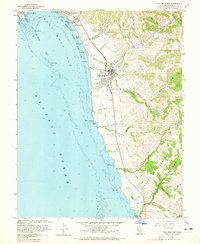
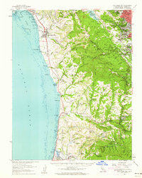
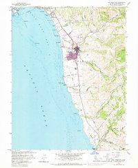
USGS Historical Quadrangle in GeoPDF.
USGS Historical Quadrangle in GeoPDF.
USGS Historical Quadrangle in GeoPDF.
A high-resolution raster dataset of simulated maximum tsunami velocities in Half Moon Bay, California, based on the Science Application for Risk Reduction (SAFRR) tsunami scenario.
Categories: Data;
Types: Downloadable,
GeoTIFF,
Map Service,
Raster;
Tags: CMHRP,
Coastal and Marine Hazards and Resources Program,
Half Moon Bay,
PCMSC,
Pacific Coastal and Marine Science Center,
The data are .csv files of tagged sea otter re-sighting locations (henceforth, resights) collected in the field using a combination of VHF radio telemetry and direct observation using high powered (80x) telescopes. Sea otters were tracked by shore based observers from the date of tagging until the time of radio battery failure or the animal’s death, whichever comes first. The frequency of re-sighting was opportunistic, depending on logistical factors such as coastal access, but generally ranged from daily to weekly. Location coordinates are reported as X and Y coordinates in the projection/datum California Teale-Albers NAD 1927. Each file contains resight data for one individual sea otter collected over a period...
Categories: Data;
Types: ArcGIS REST Map Service,
ArcGIS Service Definition,
Citation,
Downloadable,
Map Service;
Tags: California,
Half Moon Bay,
Santa Barbara,
Santa Barbara Channel Islands,
Southern sea otter,
This data set contains imagery from the National Agriculture Imagery Program (NAIP). The NAIP program is administered by USDA FSA and has been established to support two main FSA strategic goals centered on agricultural production. These are, increase stewardship of America's natural resources while enhancing the environment, and to ensure commodities are procured and distributed effectively and efficiently to increase food security. The NAIP program supports these goals by acquiring and providing ortho imagery that has been collected during the agricultural growing season in the U.S. The NAIP ortho imagery is tailored to meet FSA requirements and is a fundamental tool used to support FSA farm and conservation programs....
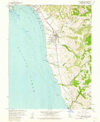
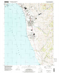
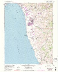
USGS Historical Quadrangle in GeoPDF.
High-resolution single-channel Chirp and minisparker seismic-reflection data were collected by the U.S. Geological Survey in March and April 2007, offshore San Mateo County, California. Data were collected aboard the R/V Fulmar during field activity F-02-07-NC. Chirp data were collected using an EdgeTech 512 chirp subbottom system and were recorded with a Triton SB-Logger. Minisparker data were collected using a SIG 2-mille minisparker sound source combined with a single-channel streamer, and both were recorded with a Triton SB-Logger.
Categories: Data;
Types: Downloadable,
Map Service,
OGC WFS Layer,
OGC WMS Layer,
Shapefile;
Tags: Bathymetry and Elevation,
CMHRP,
Coastal and Marine Hazards and Resources Program,
Elevation,
Geophysics,
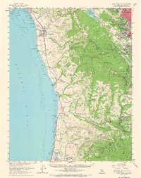
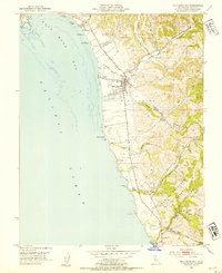
USGS Historical Quadrangle in GeoPDF.
USGS Historical Quadrangle in GeoPDF.
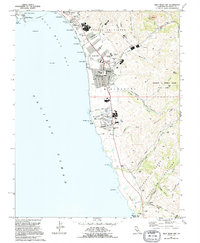
USGS Historical Quadrangle in GeoPDF.
This data set contains imagery from the National Agriculture Imagery Program (NAIP). The NAIP program is administered by USDA FSA and has been established to support two main FSA strategic goals centered on agricultural production. These are, increase stewardship of America's natural resources while enhancing the environment, and to ensure commodities are procured and distributed effectively and efficiently to increase food security. The NAIP program supports these goals by acquiring and providing ortho imagery that has been collected during the agricultural growing season in the U.S. The NAIP ortho imagery is tailored to meet FSA requirements and is a fundamental tool used to support FSA farm and conservation programs....
High-resolution single-channel Chirp seismic-reflection data were collected by the U.S. Geological Survey in March and April 2007 from Pacifica to Half Moon Bay, offshore San Mateo County, California. Data were collected aboard the R/V Fulmar, during field activity F-02-07-NC. Chirp data were collected using an EdgeTech 512 chirp subbottom system and recorded with a Triton SB-Logger.
Categories: Data;
Types: Downloadable,
Map Service,
OGC WFS Layer,
OGC WMS Layer,
Shapefile;
Tags: Bathymetry and Elevation,
CMHRP,
Coastal and Marine Hazards and Resources Program,
Elevation,
Half Moon Bay,
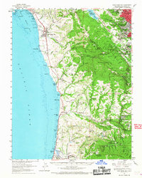
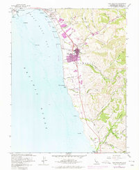
USGS Historical Quadrangle in GeoPDF.
USGS Historical Quadrangle in GeoPDF.
This data set contains imagery from the National Agriculture Imagery Program (NAIP). The NAIP program is administered by USDA FSA and has been established to support two main FSA strategic goals centered on agricultural production. These are, increase stewardship of America's natural resources while enhancing the environment, and to ensure commodities are procured and distributed effectively and efficiently to increase food security. The NAIP program supports these goals by acquiring and providing ortho imagery that has been collected during the agricultural growing season in the U.S. The NAIP ortho imagery is tailored to meet FSA requirements and is a fundamental tool used to support FSA farm and conservation programs....
USGS Historical Quadrangle in GeoPDF.
USGS Historical Quadrangle in GeoPDF.
|

|
