Filters: Tags: Harmon County (X) > Date Range: {"choice":"year"} (X)
3 results (11ms)|
Filters
Date Types (for Date Range)
Tag Types Tag Schemes |

The High Resolution National Hydrography Dataset Plus (NHDPlus HR) is an integrated set of geospatial data layers, including the best available National Hydrography Dataset (NHD), the 10-meter 3D Elevation Program Digital Elevation Model (3DEP DEM), and the National Watershed Boundary Dataset (WBD). The NHDPlus HR combines the NHD, 3DEP DEMs, and WBD to create a stream network with linear referencing, feature naming, "value added attributes" (VAAs), elevation-derived catchments, and other features for hydrologic data analysis. The stream network with linear referencing is a system of data relationships applied to hydrographic systems so that one stream reach "flows" into another and "events" can be tied to and traced...

The U.S. Geological Survey, in cooperation with the Oklahoma Water Resources Board, constructed a finite-difference numerical groundwater-flow model of the Salt Fork Red River aquifer using MODFLOW with the Newton formulation solver (MODFLOW-NWT). The 1973 Oklahoma Water Law requires the Oklahoma Water Resources Board to conduct hydrologic investigations of the State’s aquifers to support a determination of the maximum annual yield (MAY) for each groundwater basin. The MAY is defined as the amount of fresh groundwater that can be withdrawn annually while ensuring a minimum 20-year life of the groundwater basin. For alluvium and terrace aquifers, the groundwater-basin-life requirement is satisfied if, after 20 years...
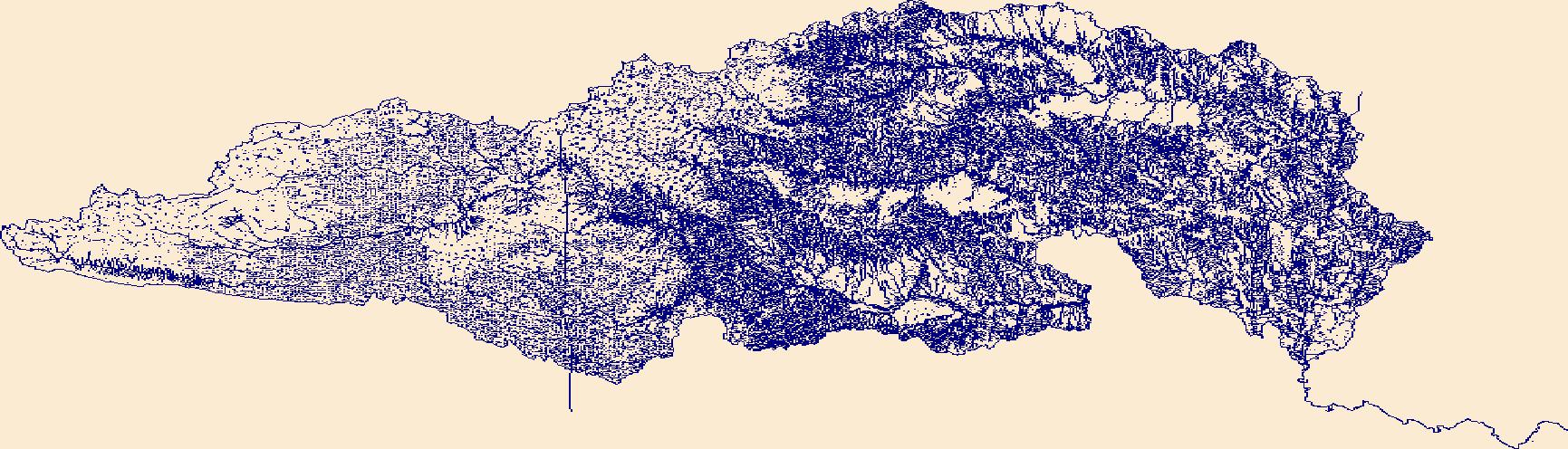
The High Resolution National Hydrography Dataset Plus (NHDPlus HR) is an integrated set of geospatial data layers, including the best available National Hydrography Dataset (NHD), the 10-meter 3D Elevation Program Digital Elevation Model (3DEP DEM), and the National Watershed Boundary Dataset (WBD). The NHDPlus HR combines the NHD, 3DEP DEMs, and WBD to create a stream network with linear referencing, feature naming, "value added attributes" (VAAs), elevation-derived catchments, and other features for hydrologic data analysis. The stream network with linear referencing is a system of data relationships applied to hydrographic systems so that one stream reach "flows" into another and "events" can be tied to and traced...
|

|
