Filters: Tags: Harris County (X)
302 results (14ms)|
Filters
Date Range
Extensions Types Contacts
Categories Tag Types
|
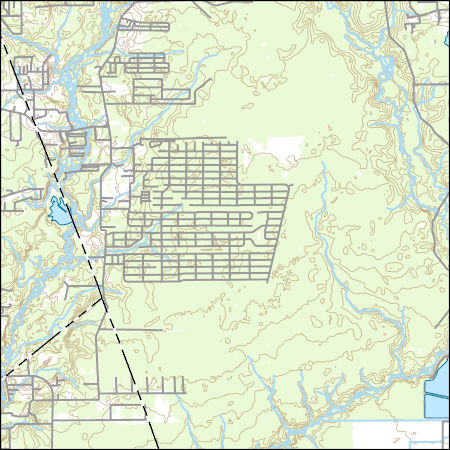
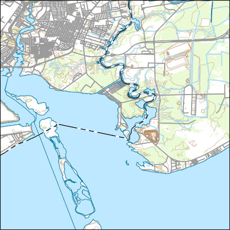
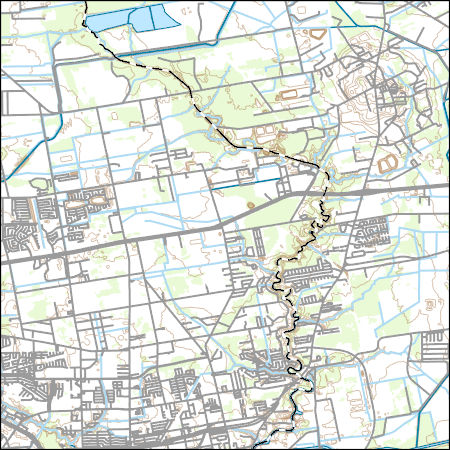
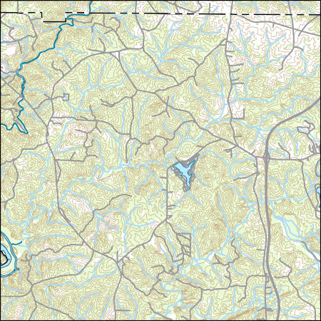
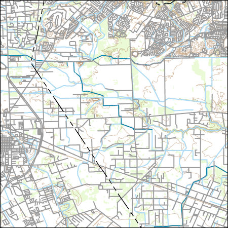
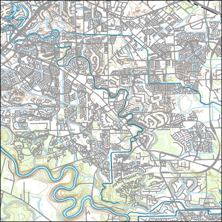
Layers of geospatial data include contours, boundaries, land cover, hydrography, roads, transportation, geographic names, structures, and other selected map features.
Types: Citation;
Tags: 7.5 x 7.5 minute,
7_5_Min,
Combined Vector,
Combined Vector,
Combined Vector,

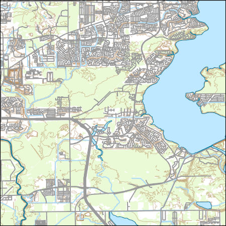
Layers of geospatial data include contours, boundaries, land cover, hydrography, roads, transportation, geographic names, structures, and other selected map features.
Types: Citation;
Tags: 7.5 x 7.5 minute,
7_5_Min,
Combined Vector,
Combined Vector,
Combined Vector,
Layers of geospatial data include contours, boundaries, land cover, hydrography, roads, transportation, geographic names, structures, and other selected map features.
Layers of geospatial data include contours, boundaries, land cover, hydrography, roads, transportation, geographic names, structures, and other selected map features.
The U.S. Geological Survey (USGS) in cooperation with the Harris‐Galveston Subsidence District, City of Houston, Fort Bend Subsidence District, and Lone Star Groundwater Conservation District has produced this dataset of groundwater‐level altitudes and groundwater‐level altitude changes in the Chicot, Evangeline, and Jasper aquifers in the Houston‐Galveston region, Texas. This dataset shows current‐year (2018) groundwater‐level altitudes for each aquifer, 5‐year (2013‐18) groundwater‐level changes for each aquifer, long‐term (1990‐2018 and 1977‐2018) groundwater‐level changes for the Chicot and Evangeline aquifers, and long‐term (2000‐2018) groundwater‐level change for the Jasper aquifer. The groundwater‐level measurements...
Layers of geospatial data include contours, boundaries, land cover, hydrography, roads, transportation, geographic names, structures, and other selected map features.
The U.S. Geological Survey, in cooperation with the Harris‐Galveston Subsidence District, City of Houston, Fort Bend Subsidence District, Brazoria County Groundwater Conservation District, and Lone Star Groundwater Conservation District, has produced this dataset of water-level changes and approximate water-level altitudes in the Chicot, Evangeline, and Jasper aquifers in the Houston-Galveston region, Texas. This dataset shows current-year (2015-2016) water-level changes for each aquifer, 5-year (2011-2016) water-level changes for each aquifer, long-term (1990-2016 and 1977-2016) water-level changes for the Chicot and Evangeline aquifers, and long-term (2000-2016) water-level changes for the Jasper aquifer. The...
Categories: Data;
Types: Map Service,
OGC WFS Layer,
OGC WMS Layer,
OGC WMS Service;
Tags: Brazoria County,
Chambers County,
Chicot aquifer,
Compaction,
Evangeline aquifer,
Please note: a more recent version of this dataset is available. Users are strongly advised to access the newer version of the dataset at https://doi.org/10.5066/P9YGUE2V. The U.S. Geological Survey, in cooperation with the Harris‐Galveston Subsidence District, City of Houston, Fort Bend Subsidence District, and Lone Star Groundwater Conservation District, produced a dataset through 2017 of compaction values in the Chicot and Evangeline aquifers in the Houston‐Galveston region, Texas. This dataset contains compaction values of subsurface sediments (mostly in the fine-grained silt and clay layers because little compaction occurs in sand layers) in the Chicot and Evangeline aquifers that were recorded continuously...
Categories: Data;
Tags: Chicot aquifer,
Evangeline aquifer,
Fort Bend County,
Galveston County,
Harris County,
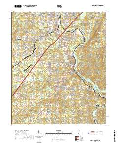
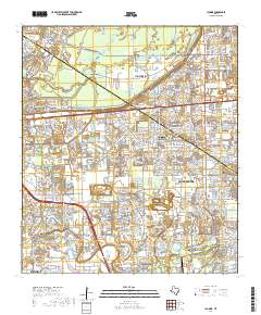
Layered geospatial PDF 7.5 Minute Quadrangle Map. Layers of geospatial data include orthoimagery, roads, grids, geographic names, elevation contours, hydrography, and other selected map features. This map is derived from GIS (geospatial information system) data. It represents a repackaging of GIS data in traditional map form, not creation of new information. The geospatial data in this map are from selected National Map data holdings and other government sources.
This data release contains compiled historical groundwater-withdrawal data for the Coastal Lowlands Aquifer System in Texas, Louisiana, Mississippi, Alabama, and Florida from 1925 to 2018. Most groundwater-withdrawals were distributed to groundwater wells and separated into water-use categories of industrial, production wells, power generation, mining, domestic, irrigation, livestock or commercial. Groundwater-withdrawal data were obtained, where available, from existing database resources hosted by various State and Federal agencies. For Texas, data were obtained from the Texas Water Development Board (TWDB) from both existing Groundwater Availability Models (GAM), and from historical groundwater-withdrawal data....
Categories: Data;
Types: Map Service,
OGC WFS Layer,
OGC WMS Layer,
OGC WMS Service;
Tags: Acadia Parish,
Adams County,
Alabama,
Allen Parish,
Amite County,
This dataset documents the depth to groundwater measured in wells screened in the Chicot, Evangeline, and Jasper aquifers in the Houston‐Galveston region, Texas for 2020. The U.S. Geological Survey prepared this dataset in cooperation with the Harris‐Galveston Subsidence District, City of Houston, Fort Bend Subsidence District, Lone Star Groundwater Conservation District, and Brazoria County Groundwater Conservation District. This dataset was created to provide resource managers, public officials, researchers, and the general public with ready access to information regarding depths to groundwater in the region. All of the data in this dataset were collected from December 2019 through March 2020 and are stored in...
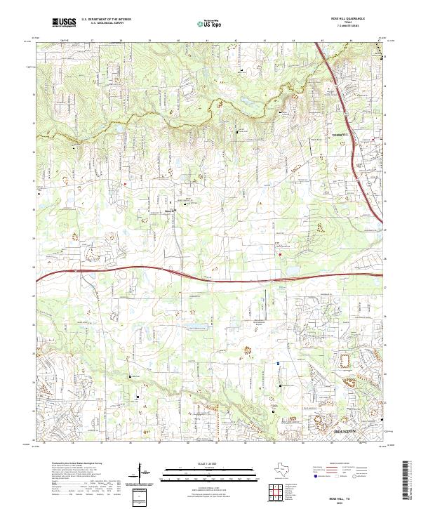
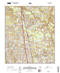
Layered geospatial PDF 7.5 Minute Quadrangle Map. Layers of geospatial data include orthoimagery, roads, grids, geographic names, elevation contours, hydrography, and other selected map features. This map is derived from GIS (geospatial information system) data. It represents a repackaging of GIS data in traditional map form, not creation of new information. The geospatial data in this map are from selected National Map data holdings and other government sources.
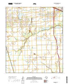
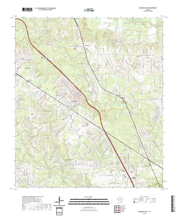
Layered geospatial PDF 7.5 Minute Quadrangle Map. Layers of geospatial data include orthoimagery, roads, grids, geographic names, elevation contours, hydrography, and other selected map features. This map is derived from GIS (geospatial information system) data. It represents a repackaging of GIS data in traditional map form, not creation of new information. The geospatial data in this map are from selected National Map data holdings and other government sources.
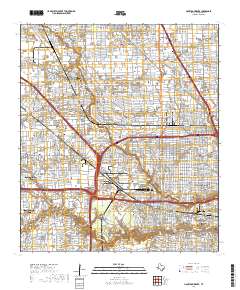
Layered geospatial PDF 7.5 Minute Quadrangle Map. Layers of geospatial data include orthoimagery, roads, grids, geographic names, elevation contours, hydrography, and other selected map features. This map is derived from GIS (geospatial information system) data. It represents a repackaging of GIS data in traditional map form, not creation of new information. The geospatial data in this map are from selected National Map data holdings and other government sources.
Layered geospatial PDF 7.5 Minute Quadrangle Map. Layers of geospatial data include orthoimagery, roads, grids, geographic names, elevation contours, hydrography, and other selected map features. This map is derived from GIS (geospatial information system) data. It represents a repackaging of GIS data in traditional map form, not creation of new information. The geospatial data in this map are from selected National Map data holdings and other government sources.
Layered geospatial PDF 7.5 Minute Quadrangle Map. Layers of geospatial data include orthoimagery, roads, grids, geographic names, elevation contours, hydrography, and other selected map features. This map is derived from GIS (geospatial information system) data. It represents a repackaging of GIS data in traditional map form, not creation of new information. The geospatial data in this map are from selected National Map data holdings and other government sources.
Layered geospatial PDF 7.5 Minute Quadrangle Map. Layers of geospatial data include orthoimagery, roads, grids, geographic names, elevation contours, hydrography, and other selected map features. This map is derived from GIS (geospatial information system) data. It represents a repackaging of GIS data in traditional map form, not creation of new information. The geospatial data in this map are from selected National Map data holdings and other government sources.
Layers of geospatial data include contours, boundaries, land cover, hydrography, roads, transportation, geographic names, structures, and other selected map features.
Layers of geospatial data include contours, boundaries, land cover, hydrography, roads, transportation, geographic names, structures, and other selected map features.
Types: Citation;
Tags: 7.5 x 7.5 minute,
7_5_Min,
Combined Vector,
Combined Vector,
Combined Vector,
Layers of geospatial data include contours, boundaries, land cover, hydrography, roads, transportation, geographic names, structures, and other selected map features.
Types: Citation;
Tags: 7.5 x 7.5 minute,
7_5_Min,
Combined Vector,
Combined Vector,
Combined Vector,
|

|
