Filters: Tags: Herd (X)
12 results (28ms)|
Filters
Date Range
Extensions Types Contacts
Categories Tag Types Tag Schemes |
This data set contains imagery from the National Agriculture Imagery Program (NAIP). The NAIP program is administered by USDA FSA and has been established to support two main FSA strategic goals centered on agricultural production. These are, increase stewardship of America's natural resources while enhancing the environment, and to ensure commodities are procured and distributed effectively and efficiently to increase food security. The NAIP program supports these goals by acquiring and providing ortho imagery that has been collected during the agricultural growing season in the U.S. The NAIP ortho imagery is tailored to meet FSA requirements and is a fundamental tool used to support FSA farm and conservation programs....
Dataset for BLM Wild Horse and Burro Herd Areas & Herd Management Areas. Herd Areas were designated in 1971 as places where wild horses and/or burros were found during the initial flights in 1971. Federal lands identified in 1971 but not managed for wild horses and burros are called Herd Areas. As additional surveys were done and data gathered, it was determined that some of these lands and animals were actually on private lands and/or were private animals. Areas with private animals that were 'claimed' during the claiming period were not carried forward as Herd Areas. Herd Areas were carried forward in land use plans and determinations were made as to whether or not to manage animals on these federal lands. Federal...
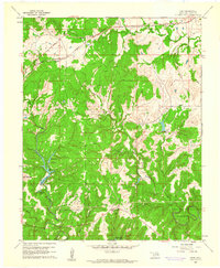
USGS Historical Quadrangle in GeoPDF.

The Herd Management Area coverage is polygon coverage of Wild horse and Burro use areas. A "Herd Area" is defeind by the "Wild and Free-Roaming Horse and Burro Program Guidance, January 1983" as "The geographic area identified as having been used by a herd as its yearlong habitat in 1971" and a Herd Management Area" is defined as "A herd area identified in an approved land use plan where wild horses and burros will be maintain and managed." There are nine Herd Management Areas on the Surprise Resource Area, boundaries and attributes for these areas were gathered from various maps and reports.

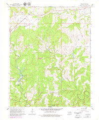
USGS Historical Quadrangle in GeoPDF.
This data set contains imagery from the National Agriculture Imagery Program (NAIP). The NAIP program is administered by USDA FSA and has been established to support two main FSA strategic goals centered on agricultural production. These are, increase stewardship of America's natural resources while enhancing the environment, and to ensure commodities are procured and distributed effectively and efficiently to increase food security. The NAIP program supports these goals by acquiring and providing ortho imagery that has been collected during the agricultural growing season in the U.S. The NAIP ortho imagery is tailored to meet FSA requirements and is a fundamental tool used to support FSA farm and conservation programs....
A polygon feature class representing the spatial extent and boundaries for BLM Wild Horse and Burro Herd Management Areas (HMAs) and Herd Areas (HAs), along with USFS Wild Horse and Burro Territories (WHBTs). HMAs and WHBTs are color coded to represent whether they are within Appropriate Management Level (AML), Greater than 100% and less than 200% of AML, and greater than 200% of AML. HAs do not have associated AML values, and are colored grey.
Categories: Data;
Types: Downloadable,
Map Service,
OGC WFS Layer,
OGC WMS Layer,
Shapefile;
Tags: Alaska,
Arizona,
Arizona,
Authorization,
BLM,
This data set contains imagery from the National Agriculture Imagery Program (NAIP). The NAIP program is administered by USDA FSA and has been established to support two main FSA strategic goals centered on agricultural production. These are, increase stewardship of America's natural resources while enhancing the environment, and to ensure commodities are procured and distributed effectively and efficiently to increase food security. The NAIP program supports these goals by acquiring and providing ortho imagery that has been collected during the agricultural growing season in the U.S. The NAIP ortho imagery is tailored to meet FSA requirements and is a fundamental tool used to support FSA farm and conservation programs....
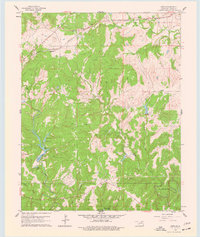
USGS Historical Quadrangle in GeoPDF.

This is the Caribou Referral Boundary (ranges) for the East Side of the Athabasca River (ESAR) and Cold Lake Air Weapons Range (CLAWR) range.
USGS Historical Quadrangle in GeoPDF.
This data set contains imagery from the National Agriculture Imagery Program (NAIP). The NAIP program is administered by USDA FSA and has been established to support two main FSA strategic goals centered on agricultural production. These are, increase stewardship of America's natural resources while enhancing the environment, and to ensure commodities are procured and distributed effectively and efficiently to increase food security. The NAIP program supports these goals by acquiring and providing ortho imagery that has been collected during the agricultural growing season in the U.S. The NAIP ortho imagery is tailored to meet FSA requirements and is a fundamental tool used to support FSA farm and conservation programs....
|

|
