Filters: Tags: Hog Island (X)
28 results (103ms)|
Filters
Date Range
Extensions Types Contacts
Categories Tag Types Tag Schemes |
This data release contains coastal wetland synthesis products for the Atlantic-facing Eastern Shore of Virginia (the data release for the Chesapeake Bay-facing portion of the Eastern Shore of Virginia is found here: https://doi.org/10.5066/P997EJYB). Metrics for resiliency, including unvegetated to vegetated ratio (UVVR), marsh elevation, and tidal range are calculated for smaller units delineated from a digital elevation model, providing the spatial variability of physical factors that influence wetland health. The U.S. Geological Survey has been expanding national assessment of coastal change hazards and forecast products to coastal wetlands with the intent of providing federal, state, and local managers with...
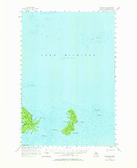
USGS Historical Quadrangle in GeoPDF.
This data set contains imagery from the National Agriculture Imagery Program (NAIP). The NAIP program is administered by USDA FSA and has been established to support two main FSA strategic goals centered on agricultural production. These are, increase stewardship of America's natural resources while enhancing the environment, and to ensure commodities are procured and distributed effectively and efficiently to increase food security. The NAIP program supports these goals by acquiring and providing ortho imagery that has been collected during the agricultural growing season in the U.S. The NAIP ortho imagery is tailored to meet FSA requirements and is a fundamental tool used to support FSA farm and conservation programs....
This data set contains imagery from the National Agriculture Imagery Program (NAIP). The NAIP program is administered by USDA FSA and has been established to support two main FSA strategic goals centered on agricultural production. These are, increase stewardship of America's natural resources while enhancing the environment, and to ensure commodities are procured and distributed effectively and efficiently to increase food security. The NAIP program supports these goals by acquiring and providing ortho imagery that has been collected during the agricultural growing season in the U.S. The NAIP ortho imagery is tailored to meet FSA requirements and is a fundamental tool used to support FSA farm and conservation programs....
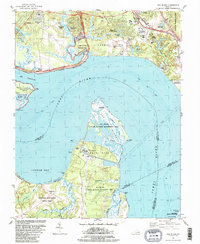
USGS Historical Quadrangle in GeoPDF.

USGS Historical Quadrangle in GeoPDF.
This data release contains coastal wetland synthesis products for the Atlantic-facing Eastern Shore of Virginia (the data release for the Chesapeake Bay-facing portion of the Eastern Shore of Virginia is found here: https://doi.org/10.5066/P997EJYB). Metrics for resiliency, including unvegetated to vegetated ratio (UVVR), marsh elevation, and tidal range are calculated for smaller units delineated from a digital elevation model, providing the spatial variability of physical factors that influence wetland health. The U.S. Geological Survey has been expanding national assessment of coastal change hazards and forecast products to coastal wetlands with the intent of providing federal, state, and local managers with...
This data release contains coastal wetland synthesis products for the Atlantic-facing Eastern Shore of Virginia (the data release for the Chesapeake Bay-facing portion of the Eastern Shore of Virginia is found here: https://doi.org/10.5066/P997EJYB). Metrics for resiliency, including unvegetated to vegetated ratio (UVVR), marsh elevation, and tidal range are calculated for smaller units delineated from a digital elevation model, providing the spatial variability of physical factors that influence wetland health. The U.S. Geological Survey has been expanding national assessment of coastal change hazards and forecast products to coastal wetlands with the intent of providing federal, state, and local managers with...
|

|
