Filters: Tags: Houghton County (X)
102 results (64ms)|
Filters
Date Range
Extensions Types Contacts
Categories Tag Types
|
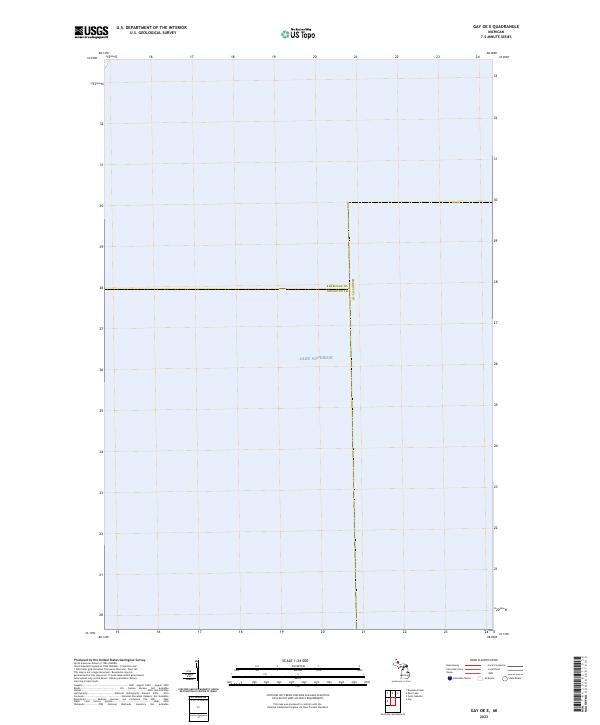
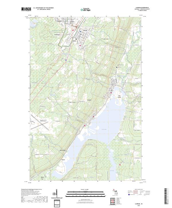
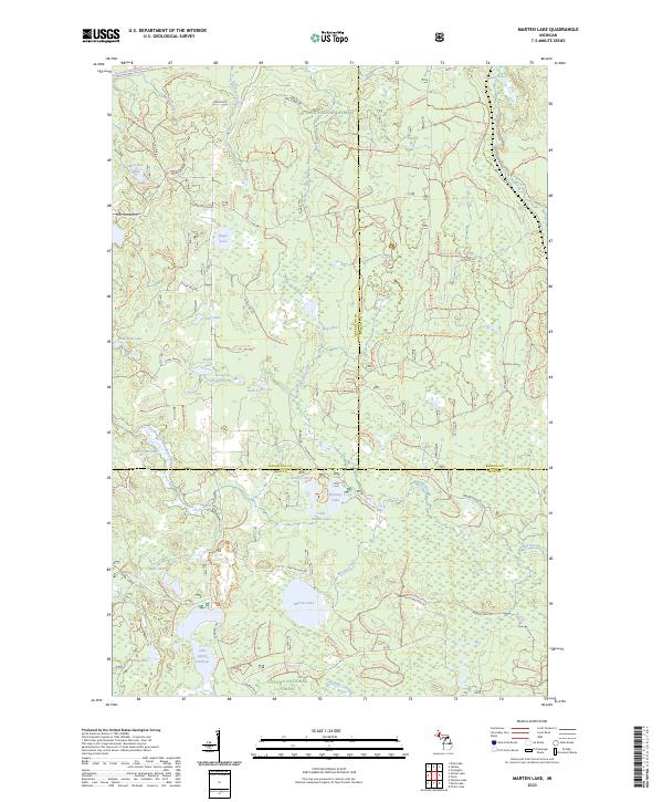
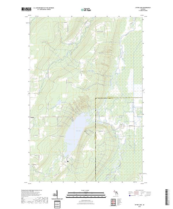
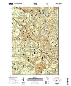
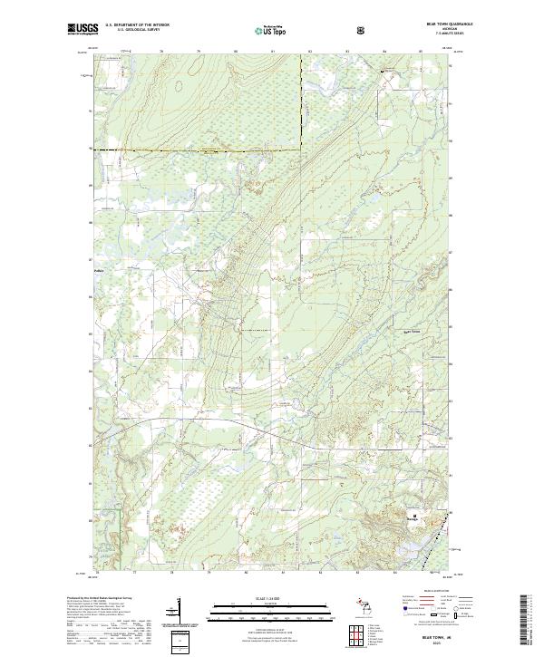
Layered geospatial PDF 7.5 Minute Quadrangle Map. Layers of geospatial data include orthoimagery, roads, grids, geographic names, elevation contours, hydrography, and other selected map features. This map is derived from GIS (geospatial information system) data. It represents a repackaging of GIS data in traditional map form, not creation of new information. The geospatial data in this map are from selected National Map data holdings and other government sources.
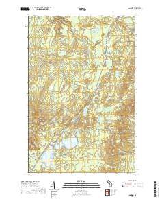
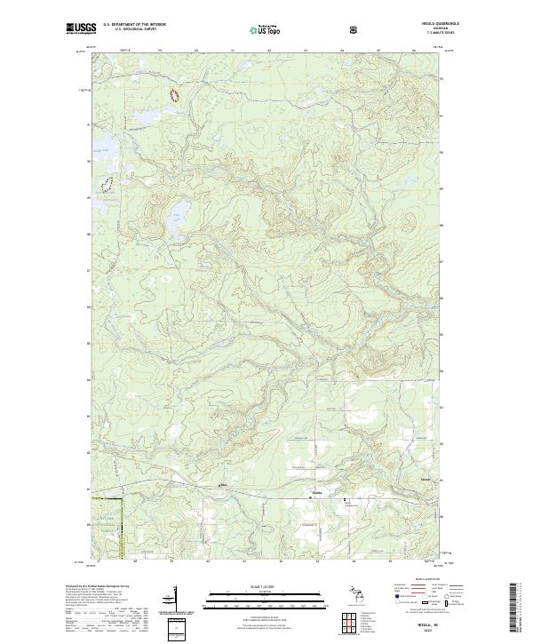
Layered geospatial PDF 7.5 Minute Quadrangle Map. Layers of geospatial data include orthoimagery, roads, grids, geographic names, elevation contours, hydrography, and other selected map features. This map is derived from GIS (geospatial information system) data. It represents a repackaging of GIS data in traditional map form, not creation of new information. The geospatial data in this map are from selected National Map data holdings and other government sources.
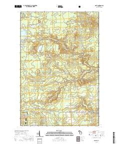
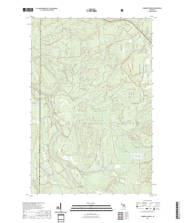
Layered geospatial PDF 7.5 Minute Quadrangle Map. Layers of geospatial data include orthoimagery, roads, grids, geographic names, elevation contours, hydrography, and other selected map features. This map is derived from GIS (geospatial information system) data. It represents a repackaging of GIS data in traditional map form, not creation of new information. The geospatial data in this map are from selected National Map data holdings and other government sources.
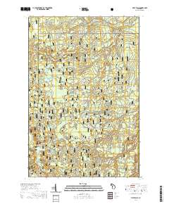
Layered geospatial PDF 7.5 Minute Quadrangle Map. Layers of geospatial data include orthoimagery, roads, grids, geographic names, elevation contours, hydrography, and other selected map features. This map is derived from GIS (geospatial information system) data. It represents a repackaging of GIS data in traditional map form, not creation of new information. The geospatial data in this map are from selected National Map data holdings and other government sources.
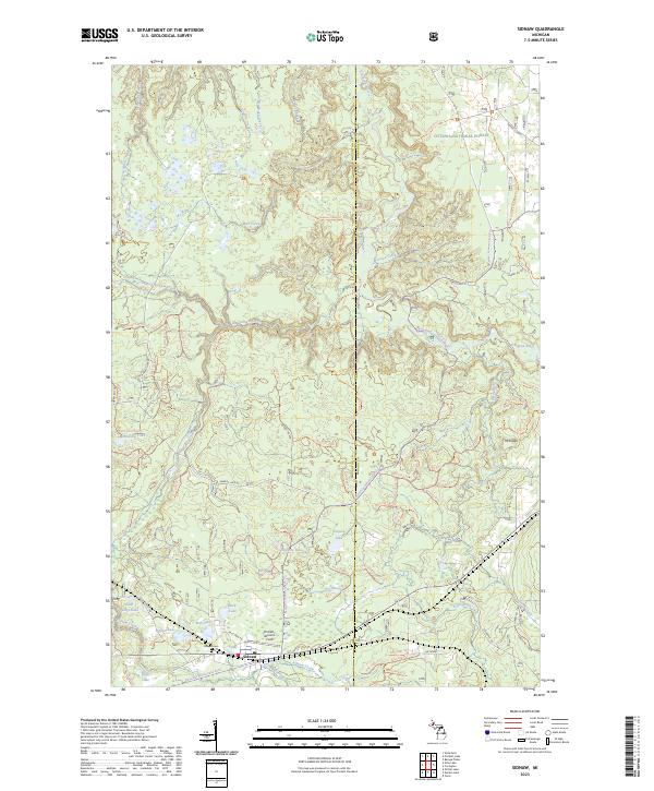
Layered geospatial PDF 7.5 Minute Quadrangle Map. Layers of geospatial data include orthoimagery, roads, grids, geographic names, elevation contours, hydrography, and other selected map features. This map is derived from GIS (geospatial information system) data. It represents a repackaging of GIS data in traditional map form, not creation of new information. The geospatial data in this map are from selected National Map data holdings and other government sources.
The erosion and active transport of legacy mine tailings (called “stamp sands”) are impacting native fish species and aquatic habitats on a shallow water rocky reef complex along the Keweenaw Peninsula of Michigan called Buffalo Reef. Stamp sands are spreading from an old mill site at the Town of Gay and settling on the reef. Multiple surveys have documented the underwater migration of toxic, metal-rich stamp sands and progressive burial of areas of hard/complex lakefloor, such as cobble fields. The finer-grained, muddy fraction of the mine tailings has been winnowed by waves and currents and transported to unknown locations in deeper waters offshore. High-resolution geophysical mapping of the bay in 2018 revealed...
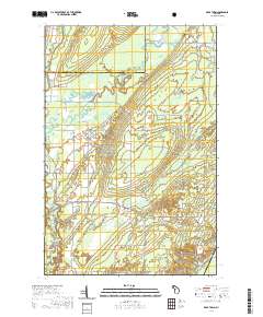
Layered geospatial PDF 7.5 Minute Quadrangle Map. Layers of geospatial data include orthoimagery, roads, grids, geographic names, elevation contours, hydrography, and other selected map features. This map is derived from GIS (geospatial information system) data. It represents a repackaging of GIS data in traditional map form, not creation of new information. The geospatial data in this map are from selected National Map data holdings and other government sources.
Layered geospatial PDF 7.5 Minute Quadrangle Map. Layers of geospatial data include orthoimagery, roads, grids, geographic names, elevation contours, hydrography, and other selected map features. This map is derived from GIS (geospatial information system) data. It represents a repackaging of GIS data in traditional map form, not creation of new information. The geospatial data in this map are from selected National Map data holdings and other government sources.
Layered geospatial PDF 7.5 Minute Quadrangle Map. Layers of geospatial data include orthoimagery, roads, grids, geographic names, elevation contours, hydrography, and other selected map features. This map is derived from GIS (geospatial information system) data. It represents a repackaging of GIS data in traditional map form, not creation of new information. The geospatial data in this map are from selected National Map data holdings and other government sources.
Layered geospatial PDF 7.5 Minute Quadrangle Map. Layers of geospatial data include orthoimagery, roads, grids, geographic names, elevation contours, hydrography, and other selected map features. This map is derived from GIS (geospatial information system) data. It represents a repackaging of GIS data in traditional map form, not creation of new information. The geospatial data in this map are from selected National Map data holdings and other government sources.
The 'Keweenaw Copper Belt, Arcadia Mine' file is part of the Grover Heinrichs mining collection. Grover was the Vice President of Heinrichs GEOEXploration, located in Tucson, Arizona. The collection contains over 1,400 folders including economic geology reports, maps, photos, correspondence, drill logs and other related materials. The focus of much of the information is on the western United States, particularly Arizona, but the collection also includes files on mining activity throughout the United States, foreign countries, and 82 mineral commodities.
Categories: Data;
Tags: Dataset,
Houghton County,
Michigan,
United States,
geoscientificInformation,
In September 2018, the U.S. Geological Survey, in collaboration with the U.S. Army Corps of Engineers, conducted high-resolution geophysical mapping and sediment sampling to determine the distribution of historical mine tailings on the floor of Lake Superior. Large amounts of waste material from copper mining, locally known as “stamp sands,” were dumped into the lake in the early 20th century, with wide-reaching consequences that have continued into the present. Mapping was focused offshore of the town of Gay on the Keweenaw Peninsula of Michigan, where ongoing erosion and re-deposition of the stamp sands has buried miles of native, white-sand beaches. Stamp sands are also encroaching onto Buffalo Reef, a large...
Categories: Data;
Types: Downloadable,
Map Service,
OGC WFS Layer,
OGC WMS Layer,
Shapefile;
Tags: AA-251,
Applied Acoustics,
Buffalo Reef,
CMHRP,
Coastal and Marine Hazards and Resources Program,
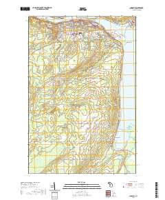
Layered geospatial PDF 7.5 Minute Quadrangle Map. Layers of geospatial data include orthoimagery, roads, grids, geographic names, elevation contours, hydrography, and other selected map features. This map is derived from GIS (geospatial information system) data. It represents a repackaging of GIS data in traditional map form, not creation of new information. The geospatial data in this map are from selected National Map data holdings and other government sources.
In August 2021, the U.S. Geological Survey, in collaboration with the U.S. Army Corps of Engineers, collected high-resolution geophysical data, sediment samples, and bottom imagery to determine the distribution of historical mine tailings on the floor of Lake Superior. Large amounts of waste material from copper mining, locally known as “stamp sands,” were dumped into the lake in the early 20th century, with wide-reaching consequences that have continued into the present. Mapping was focused offshore of the town of Gay on the Keweenaw Peninsula of Michigan, where ongoing erosion and re-deposition of the stamp sands has buried miles of native, white-sand beaches. Stamp sands are also encroaching onto Buffalo Reef,...
Categories: Data;
Tags: Buffalo Reef,
CMHRP,
CSV,
Coastal and Marine Hazards and Resources Program,
DOI,
In August 2021, the U.S. Geological Survey, in collaboration with the U.S. Army Corps of Engineers, collected high-resolution geophysical data, sediment samples, and bottom imagery to determine the distribution of historical mine tailings on the floor of Lake Superior. Large amounts of waste material from copper mining, locally known as “stamp sands,” were dumped into the lake in the early 20th century, with wide-reaching consequences that have continued into the present. Mapping was focused offshore of the town of Gay on the Keweenaw Peninsula of Michigan, where ongoing erosion and re-deposition of the stamp sands has buried miles of native, white-sand beaches. Stamp sands are also encroaching onto Buffalo Reef,...
Categories: Data;
Types: Downloadable,
GeoTIFF,
Map Service,
Raster;
Tags: Buffalo Reef,
CMHRP,
Coastal and Marine Hazards and Resources Program,
DOI,
Department of the Interior,
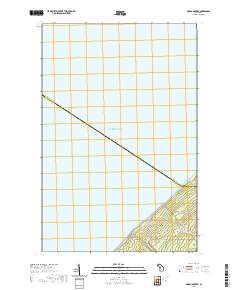
Layered geospatial PDF 7.5 Minute Quadrangle Map. Layers of geospatial data include orthoimagery, roads, grids, geographic names, elevation contours, hydrography, and other selected map features. This map is derived from GIS (geospatial information system) data. It represents a repackaging of GIS data in traditional map form, not creation of new information. The geospatial data in this map are from selected National Map data holdings and other government sources.
Layered geospatial PDF 7.5 Minute Quadrangle Map. Layers of geospatial data include orthoimagery, roads, grids, geographic names, elevation contours, hydrography, and other selected map features. This map is derived from GIS (geospatial information system) data. It represents a repackaging of GIS data in traditional map form, not creation of new information. The geospatial data in this map are from selected National Map data holdings and other government sources.
Layered geospatial PDF 7.5 Minute Quadrangle Map. Layers of geospatial data include orthoimagery, roads, grids, geographic names, elevation contours, hydrography, and other selected map features. This map is derived from GIS (geospatial information system) data. It represents a repackaging of GIS data in traditional map form, not creation of new information. The geospatial data in this map are from selected National Map data holdings and other government sources.
Layered geospatial PDF 7.5 Minute Quadrangle Map. Layers of geospatial data include orthoimagery, roads, grids, geographic names, elevation contours, hydrography, and other selected map features. This map is derived from GIS (geospatial information system) data. It represents a repackaging of GIS data in traditional map form, not creation of new information. The geospatial data in this map are from selected National Map data holdings and other government sources.
Layered geospatial PDF 7.5 Minute Quadrangle Map. Layers of geospatial data include orthoimagery, roads, grids, geographic names, elevation contours, hydrography, and other selected map features. This map is derived from GIS (geospatial information system) data. It represents a repackaging of GIS data in traditional map form, not creation of new information. The geospatial data in this map are from selected National Map data holdings and other government sources.
|

|
