Filters: Tags: Hydrology (X) > Date Range: {"choice":"month"} (X)
184 results (15ms)|
Filters
Date Types (for Date Range)
Types
Contacts
Categories Tag Types
|
In December 2022, the U.S. Geological Survey (USGS) flew uncrewed aerial systems (UAS) to collect very high-resolution imagery and lidar data of Vicksburg National Military Park to address areas of substantial landslide hazard within the park. The fine spatial resolution and high accuracy of this data are needed to fully characterize and quantify landslides and to understand the potential for continued landslide activity in other areas of the park. UAS flights were conducted by the USGS National Uncrewed Systems Office (NUSO). This data release publishes the 0.5m DTM created from the UAS-borne lidar data collected in December 2022.
This data release includes multispectral images and field measurements of water depth from the Sacramento River near Glenn, California, used to evaluate the potential for efficient reach-scale mapping of river bathymetry using Uncrewed Aircraft Systems (UAS). The images were acquired by a MicaSense RedEdge-MX Dual Camera deployed from a Trinity F90 vertical take-off and landing (VTOL) UAS. The 4 km long study area along the Sacramento River was subdivided into three distinct but adjacent areas of interest (AOIs) and image data were collected from one AOI each day between September 14 and 16, 2021. The image data were ortho-rectified using Quantum-Systems QBase 3D and Agisoft Metashape software and saved as GeoTIFF...
Types: Map Service,
OGC WFS Layer,
OGC WMS Layer,
OGC WMS Service;
Tags: Aquatic Biology,
California,
Geomorphology,
Glenn,
Hydrology,
Freshwater fish are among the most vulnerable taxa to climate change globally but are generally understudied in tropical island ecosystems. Climate change is predicted to alter the intensity, frequency, and variability of extreme flow events on the Caribbean island of Puerto Rico. These changes may impact Caribbean native and non-native stream ecosystems and biota complex ways. We compiled an extensive dataset of native and non-native fish assemblages collected at 119 sites across Puerto Rico from 2005 to 2015. We coupled these data with stream flow indices and dam height to understand how flow dynamics drive fish assemblage structure. Sixteen percent of sites contained exclusively non-native species, 34% contained...
Categories: Data,
Publication;
Types: Citation;
Tags: Aquatic Biology,
Caribbean,
Caribbean ecosystems,
Hydrology,
USGS Science Data Catalog (SDC),
Continuous 15-minute time-series suspended-sediment concentration (SSC) data computed from U.S. Geological Survey (USGS) instream turbidity data using a YSI 6-series multi-parameter water quality sonde for the North Mokelumne River near Walnut Grove, California, USGS station #11336685. A model archive summary describes the development of a continuous 15-minute SSC time-series regression model.
Categories: Data;
Types: Map Service,
OGC WFS Layer,
OGC WMS Layer,
OGC WMS Service;
Tags: California,
Geomorphology,
Hydrology,
Mokelumne River,
Sacramento-San Joaquin Delta,
The Skykomish, Snoqualmie, and Middle Fork Snoqualmie River Basins have historically provided critical spawning, rearing, and core habitat for several salmonid species. These salmonid species include natural populations of Chinook salmon (O. tshawytscha), steelhead trout (O. mykiss), and bull trout (Salvelinus confluentus)—listed as “Threatened” under the Endangered Species Act—as well as coho salmon (O. kisutch)—listed as a ”Species of concern”—pink salmon (O. gorbuscha), chum salmon (O. keta), and native char (S. malma) (Solomon and Boles, 2002; Stohr and others, 2011; Svrjcek and others, 2013; Snohomish County Surface Water Management and the Sustainable Lands Strategy Executive Committee [SWM], 2017; U.S. Fish...
This data release contains monthly 270-meter resolution Basin Characterization Model (BCMv8) climate and hydrologic variables for Localized Constructed Analog (LOCA; Pierce et al., 2014)-downscaled GFDL-CM3 Global Climate Model (GCM) for Representative Concentration Pathway (RCP) 4.5 (medium-low emissions) and 8.5 (high emissions) for hydrologic California. The LOCA climate scenarios span water years 1950 to 2099 with greenhouse-gas forcings beginning in 2006. The LOCA downscaling method has been shown to produce better estimates of extreme events and reduces the common downscaling problem of too many low-precipitation days (Pierce et al., 2014). Ten GCMs were selected from the full ensemble of models from the fifth...
This data release provides model inputs and outputs for a model that predicts redox conditions in groundwater in the contiguous United States. Input variables describe the hydrology, soils, geology, and hydrologic position of groundwater sample locations. The data release accompanies a journal article that describes model development and applications (Tesoriero_and_others_2023).
Categories: Data;
Tags: Hydrology,
USGS Science Data Catalog (SDC),
United States,
environment,
groundwater,
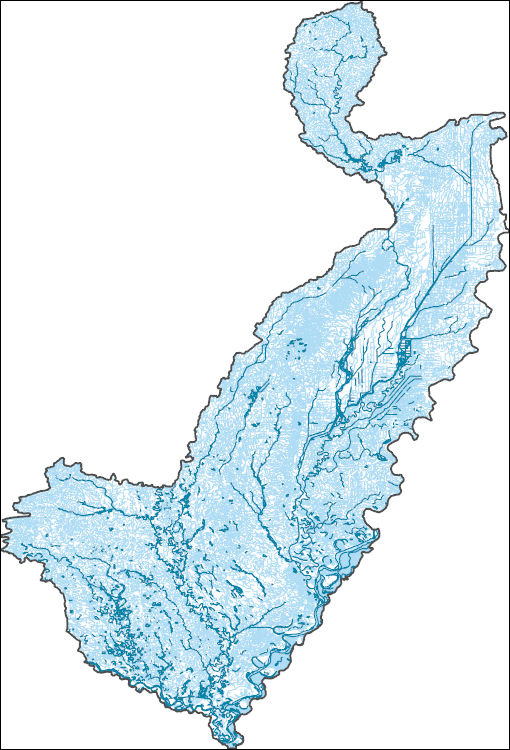
The High Resolution National Hydrography Dataset Plus (NHDPlus HR) is an integrated set of geospatial data layers, including the best available National Hydrography Dataset (NHD), the 10-meter 3D Elevation Program Digital Elevation Model (3DEP DEM), and the National Watershed Boundary Dataset (WBD). The NHDPlus HR combines the NHD, 3DEP DEMs, and WBD to create a stream network with linear referencing, feature naming, "value added attributes" (VAAs), elevation-derived catchments, and other features for hydrologic data analysis. The stream network with linear referencing is a system of data relationships applied to hydrographic systems so that one stream reach "flows" into another and "events" can be tied to and traced...
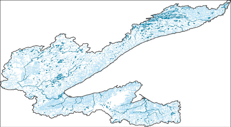
The High Resolution National Hydrography Dataset Plus (NHDPlus HR) is an integrated set of geospatial data layers, including the best available National Hydrography Dataset (NHD), the 10-meter 3D Elevation Program Digital Elevation Model (3DEP DEM), and the National Watershed Boundary Dataset (WBD). The NHDPlus HR combines the NHD, 3DEP DEMs, and WBD to create a stream network with linear referencing, feature naming, "value added attributes" (VAAs), elevation-derived catchments, and other features for hydrologic data analysis. The stream network with linear referencing is a system of data relationships applied to hydrographic systems so that one stream reach "flows" into another and "events" can be tied to and traced...
This data release contains site information and potential explanatory factor data for 1,899 groundwater sites. These sites were used to assess groundwater quality in aquifers used for domestic and public drinking water supply in the southeastern San Joaquin Valley. The southeastern San Joaquin Valley (SESJV) study unit consists of five study areas whose boundaries are defined by the eponymous California Department of Water Resources groundwater subbasins of the San Joaquin Valley groundwater basin: Madera-Chowchilla, Kings, Kaweah, Tule, and Tulare Lake. The sites consist of 198 wells representing the domestic-supply aquifer and 1,701 wells representing the public-supply aquifer. The domestic-supply aquifer wells...
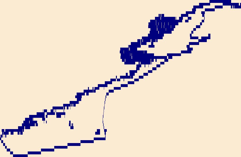
The High Resolution National Hydrography Dataset Plus (NHDPlus HR) is an integrated set of geospatial data layers, including the best available National Hydrography Dataset (NHD), the 10-meter 3D Elevation Program Digital Elevation Model (3DEP DEM), and the National Watershed Boundary Dataset (WBD). The NHDPlus HR combines the NHD, 3DEP DEMs, and WBD to create a stream network with linear referencing, feature naming, "value added attributes" (VAAs), elevation-derived catchments, and other features for hydrologic data analysis. The stream network with linear referencing is a system of data relationships applied to hydrographic systems so that one stream reach "flows" into another and "events" can be tied to and traced...
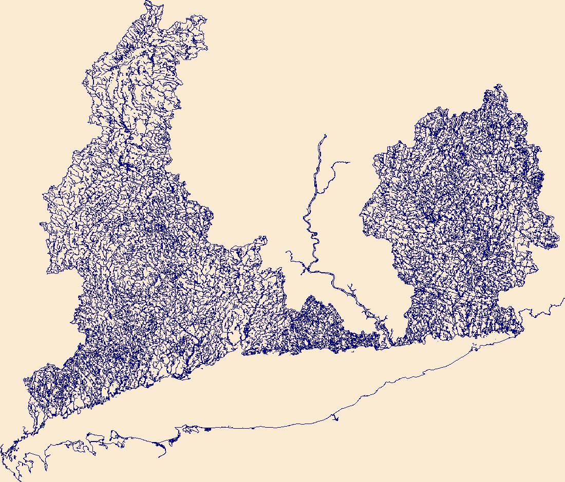
The High Resolution National Hydrography Dataset Plus (NHDPlus HR) is an integrated set of geospatial data layers, including the National Hydrography Dataset (NHD), National Watershed Boundary Dataset (WBD), and 3D Elevation Program Digital Elevation Model (3DEP DEM). The NHDPlus HR combines the NHD, 3DEP DEMs, and WBD to a data suite that includes the NHD stream network with linear referencing functionality, the WBD hydrologic units, elevation-derived catchment areas for each stream segment, "value added attributes" (VAAs), and other features that enhance hydrologic data analysis and routing.
Yellowstone National Park (YNP; Wyoming, Montana, and Idaho, USA) contains more than 10,000 hydrothermal features, several lakes, and four major watersheds. For more than 140 years, researchers at the U.S. Geological Survey and other scientific institutions have investigated the chemical compositions of hot springs, geysers, fumaroles, mud pots, streams, rivers, and lakes in YNP and surrounding areas. Water chemistry studies have revealed a range of compositions including waters with pH values ranging from about 1 to 10, surface temperatures from ambient to superheated values of 95°C, and elevated concentrations of silica, lithium, boron, fluoride, mercury, and arsenic. Hydrogeochemical data from YNP research have...
Categories: Data;
Types: Map Service,
OGC WFS Layer,
OGC WMS Layer,
OGC WMS Service;
Tags: Hydrology,
USGS Science Data Catalog (SDC),
Volcanology,
Water Quality,
Water Resources,
These data were compiled to perform analyses of hydrologic change, changes in sediment transport, and channel change within Moenkopi Wash, Arizona. Objective(s) of our study were to quantify the magnitude and timing of changes in hydrology, sediment transport, and channel form within Moenkopi Wash and to determine the downstream effects of those changes on sediment delivery downstream to the Little Colorado River, and the Colorado River. These data represent instantaneous discharge records, suspended-sediment sample records, topographic survey data, historical aerial imagery, and channel polygons and centerlines mapped on the historical imagery. Instantaneous discharge records in this study began in 1926 and extend...
This dataset is part of the U.S. Geological Survey (USGS) Great Lakes Coastal Wetland Restoration Assessment (GLCWRA) initiative. These data represent the flowline network in the Upper Peninsula Restoration Assessment (UPRA). It is attributed with the number of disconnections (e.g., road crossings) between the reach and Lake Ontario. The more road crossings on a flowline the more disconnected that area is from the lake and the less suitable it will be for restoration. These data help identify the condition of hydrologic separation between potential restoration areas and Lake Ontario. Low numbers represent fewer disconnections, such as culverts, between the reach and the water body requiring no flow network modification...
Types: GeoTIFF,
Map Service,
OGC WFS Layer,
OGC WMS Layer,
OGC WMS Service;
Tags: Chippewa,
Ecology,
Great Lakes,
Holocene,
Hydrology,
This dataset includes georeferenced, high-resolution, airborne thermal infrared (TIR) and high-resolution true-color imagery, a polyline shapefile of the channel centerline, a polyline shapefile with TIR sample points for longitudinal stream temperature profiles, and a tabular file with longitudinal stream temperature profiles for the Donner und Blitzen River and its tributaries, Oregon. The aerial TIR surveys were conducted with a helicopter by NV5 Geospatial and are published as 17 raster mosaics in GeoTiff format with a resolution of 0.3 meters (m). The TIR mosaics contain corrected surface temperatures in degrees Celsius (C) (multiplied by 10 to create an unsigned integer pixel type). The longitudinal stream...
Categories: Data;
Tags: Aquatic Biology,
Donner und Blitzen River,
Geomorphology,
Harney County,
Hydrology,
This dataset provides the estimated cell abundance and total biovolume for whole-water picoplankton samples collected by the U.S. Geological Survey (USGS) at 25 different sites in Kansas between August of 2020 and August of 2022. The samples were analyzed by BSA Environmental Services, Inc. This data is part of a larger multi-agency project between U.S. Environmental Protection Agency, National Aeronautics and Space Administration, National Oceanic and Atmospheric Administration, and USGS called the Cyanobacteria Assessment Network (CyAN). The goal of the CyAN project is to develop a satellite-based, early warning system to detect harmful algal blooms (HABs) in freshwater systems.
As part of a larger study examining stream conditions and the effect of Best Management Practices in the Chesapeake Bay watershed, thirty small streams on the Delmarva Peninsula were instrumented and monitored for gage height (water level), water temperature, and air temperature using Onset HOBO sensors from March to September 2022. In addition, two discrete discharge measurements were made at baseflow at each site. This data release contains four .csv files with time-series for gage height, water temperature, and air temperature for all thirty monitoring locations and a table of discrete discharge measurements and associated field measurement metadata: Delmarva_2022_Continuous_Air_Temperature.csv Delmarva_2022_Continuous_Gage_Height.csv...
The U.S. Geological Survey (USGS) in cooperation with the U.S. Army Corp of Engineers (USACE) has collected survey data on the Still River in Danbury, Connecticut. This data release contains high-precision survey data of bathymetric stream channel cross-sections and hydraulic structure data for bridges, culverts, and dams.
Types: Map Service,
OGC WFS Layer,
OGC WMS Layer,
OGC WMS Service;
Tags: Bathymetry,
Bathymetry,
Connecticut,
Danbury,
Fairfield,
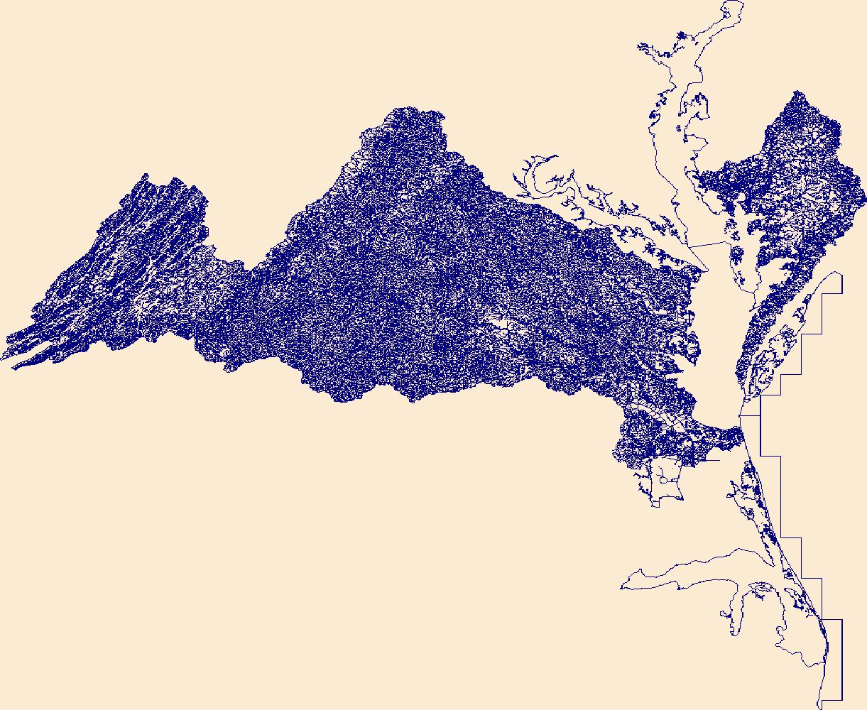
The High Resolution National Hydrography Dataset Plus (NHDPlus HR) is an integrated set of geospatial data layers, including the National Hydrography Dataset (NHD), National Watershed Boundary Dataset (WBD), and 3D Elevation Program Digital Elevation Model (3DEP DEM). The NHDPlus HR combines the NHD, 3DEP DEMs, and WBD to a data suite that includes the NHD stream network with linear referencing functionality, the WBD hydrologic units, elevation-derived catchment areas for each stream segment, "value added attributes" (VAAs), and other features that enhance hydrologic data analysis and routing.
|

|