Filters
Date Range
Extensions
(Less)
Types
(Less)
Contacts
(Less)
Categories
(Less)
Tag Types
Tag Schemes
- None (13046)
- Geographic Names Information System (16966)
- NSG Elevation Thesaurus v1.0 (2350)
- The National Map Collection Thesaurus (16946)
- The National Map Product Format Thesaurus (16946)
- The National Map Product Extent Thesaurus (16946)
- The National Map Theme Thesaurus (16946)
- The National Map Type Thesaurus (16946)
- ISO 19115 Topic Category (4481)
- U.S. Department of Commerce, 1987, Codes for the identification of the States, the District of Columbia and the outlying areas of the United States, and associated areas (Federal Information Processing Standard 5-2): Washington, D. C., NIST (23)
- USGS Energy Program Petroleum Assessment Units (4)
- Common geographic areas (55)
- Geospatial Platform (397)
- USGS Thesaurus (88)
- Alexandria Digital Library Feature Type Thesaurus (49)
- Geographic Names Information System (GNIS) (51)
- none (28)
- Central Energy Resources Team Keyword Thesaurus (10)
- U.S. Department of Commerce, 1987, Codes for the identification of the States, the District of Columbia and the outlying areas of the United States, and associated areas (Federal Information Processing Standard 5-2): Washington, D.C., National Institute of Standards and Technology (18)
- USGS Biocomplexity Thesaurus (9)
-
More...
|
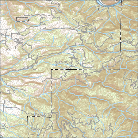
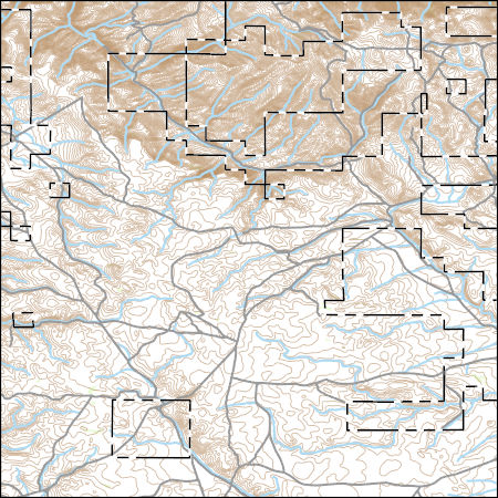
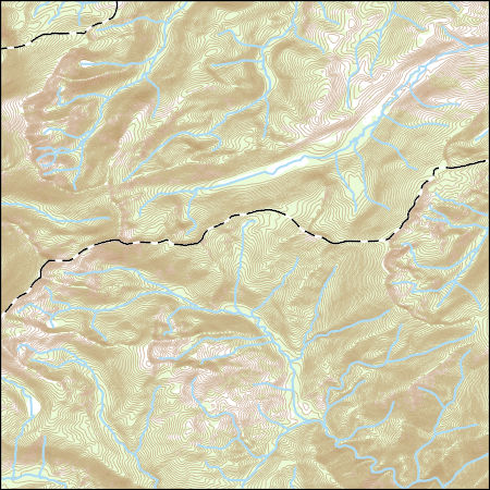
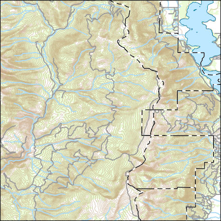
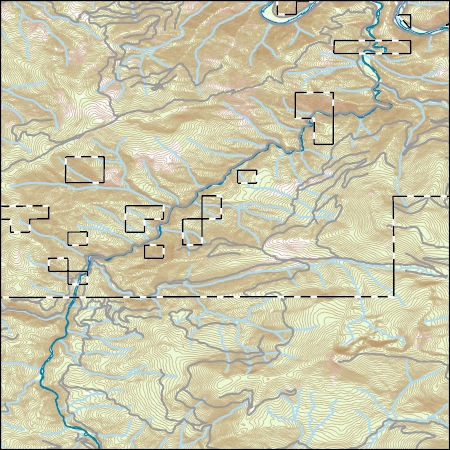
Layers of geospatial data include contours, boundaries, land cover, hydrography, roads, transportation, geographic names, structures, and other selected map features.
Types: Citation;
Tags: 7.5 x 7.5 minute,
7.5 x 7.5 minute,
Combined Vector,
Combined Vector,
Combined Vector, All tags...
Downloadable Data,
FileGDB 10.1,
FileGDB 10.1,
ID,
Idaho,
Idaho County,
Public Land Survey System,
US,
United States,
boundary,
contours,
geographic names,
hydrography,
structures,
transportation,
woodland, Fewer tags
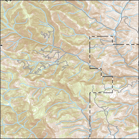
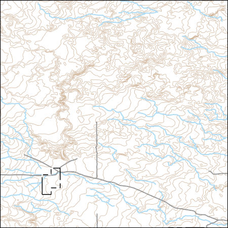
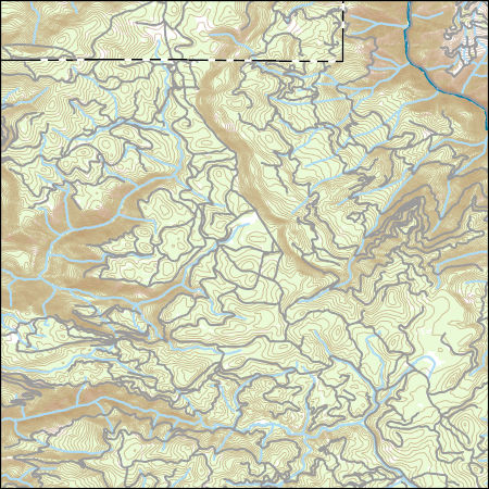
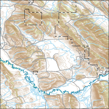
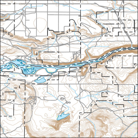
Layers of geospatial data include contours, boundaries, land cover, hydrography, roads, transportation, geographic names, structures, and other selected map features.
Types: Citation;
Tags: 7.5 x 7.5 minute,
7.5 x 7.5 minute,
Combined Vector,
Combined Vector,
Combined Vector, All tags...
Custer County,
Downloadable Data,
ID,
Idaho,
Lemhi County,
Public Land Survey System,
Shapefile,
Shapefile,
US,
United States,
boundary,
contours,
geographic names,
hydrography,
structures,
transportation,
woodland, Fewer tags
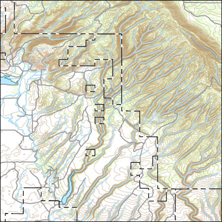
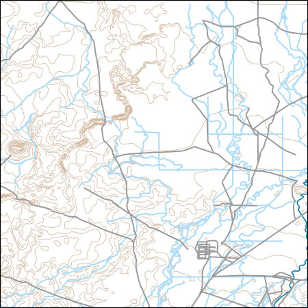
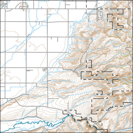
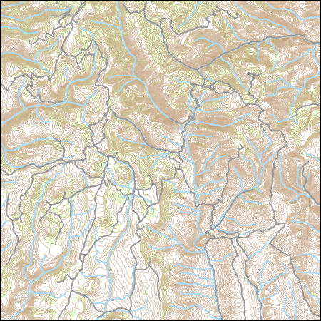
Layers of geospatial data include contours, boundaries, land cover, hydrography, roads, transportation, geographic names, structures, and other selected map features.
Types: Citation;
Tags: 7.5 x 7.5 minute,
7.5 x 7.5 minute,
Combined Vector,
Combined Vector,
Combined Vector, All tags...
Downloadable Data,
Fremont County,
ID,
Idaho,
Public Land Survey System,
Shapefile,
Shapefile,
US,
United States,
boundary,
contours,
geographic names,
hydrography,
structures,
transportation,
woodland, Fewer tags
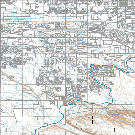
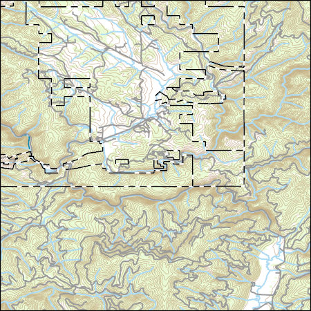
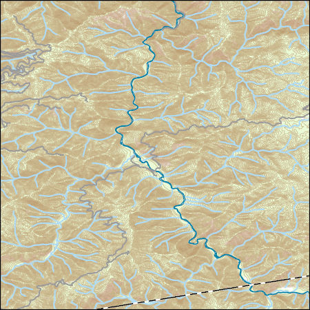
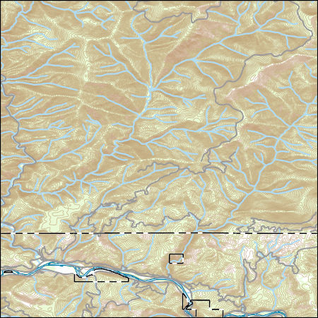
Layers of geospatial data include contours, boundaries, land cover, hydrography, roads, transportation, geographic names, structures, and other selected map features.
Types: Citation;
Tags: 7.5 x 7.5 minute,
7.5 x 7.5 minute,
Ada County,
Combined Vector,
Combined Vector, All tags...
Combined Vector,
Downloadable Data,
FileGDB 10.1,
FileGDB 10.1,
ID,
Idaho,
Public Land Survey System,
US,
United States,
boundary,
contours,
geographic names,
hydrography,
structures,
transportation,
woodland, Fewer tags
Layers of geospatial data include contours, boundaries, land cover, hydrography, roads, transportation, geographic names, structures, and other selected map features.
Types: Citation;
Tags: 7.5 x 7.5 minute,
7.5 x 7.5 minute,
Combined Vector,
Combined Vector,
Combined Vector, All tags...
Downloadable Data,
FileGDB 10.1,
FileGDB 10.1,
ID,
Idaho,
Owyhee County,
Public Land Survey System,
US,
United States,
boundary,
contours,
geographic names,
hydrography,
structures,
transportation,
woodland, Fewer tags
Layers of geospatial data include contours, boundaries, land cover, hydrography, roads, transportation, geographic names, structures, and other selected map features.
Types: Citation;
Tags: 7.5 x 7.5 minute,
7.5 x 7.5 minute,
Bingham County,
Combined Vector,
Combined Vector, All tags...
Combined Vector,
Downloadable Data,
FileGDB 10.1,
FileGDB 10.1,
ID,
Idaho,
Public Land Survey System,
US,
United States,
boundary,
contours,
geographic names,
hydrography,
structures,
transportation,
woodland, Fewer tags
Layers of geospatial data include contours, boundaries, land cover, hydrography, roads, transportation, geographic names, structures, and other selected map features.
Types: Citation;
Tags: 7.5 x 7.5 minute,
7.5 x 7.5 minute,
Butte County,
Combined Vector,
Combined Vector, All tags...
Combined Vector,
Downloadable Data,
ID,
Idaho,
Public Land Survey System,
Shapefile,
Shapefile,
US,
United States,
boundary,
contours,
geographic names,
hydrography,
structures,
transportation,
woodland, Fewer tags
Layers of geospatial data include contours, boundaries, land cover, hydrography, roads, transportation, geographic names, structures, and other selected map features.
Types: Citation;
Tags: 7.5 x 7.5 minute,
7.5 x 7.5 minute,
Combined Vector,
Combined Vector,
Combined Vector, All tags...
Downloadable Data,
FileGDB 10.1,
FileGDB 10.1,
ID,
Idaho,
Idaho County,
Public Land Survey System,
US,
United States,
boundary,
contours,
geographic names,
hydrography,
structures,
transportation,
woodland, Fewer tags
Layers of geospatial data include contours, boundaries, land cover, hydrography, roads, transportation, geographic names, structures, and other selected map features.
Types: Citation;
Tags: 7.5 x 7.5 minute,
7.5 x 7.5 minute,
Bingham County,
Bonneville County,
Combined Vector, All tags...
Combined Vector,
Combined Vector,
Downloadable Data,
FileGDB 10.1,
FileGDB 10.1,
ID,
Idaho,
Public Land Survey System,
US,
United States,
boundary,
contours,
geographic names,
hydrography,
structures,
transportation,
woodland, Fewer tags

Layers of geospatial data include contours, boundaries, land cover, hydrography, roads, transportation, geographic names, structures, and other selected map features.
Types: Citation;
Tags: 7.5 x 7.5 minute,
7.5 x 7.5 minute,
Clearwater County,
Combined Vector,
Combined Vector, All tags...
Combined Vector,
Downloadable Data,
FileGDB 10.1,
FileGDB 10.1,
ID,
Idaho,
Idaho County,
Public Land Survey System,
US,
United States,
boundary,
contours,
geographic names,
hydrography,
structures,
transportation,
woodland, Fewer tags
Layers of geospatial data include contours, boundaries, land cover, hydrography, roads, transportation, geographic names, structures, and other selected map features.
Types: Citation;
Tags: 7.5 x 7.5 minute,
7.5 x 7.5 minute,
Clearwater County,
Combined Vector,
Combined Vector, All tags...
Combined Vector,
Downloadable Data,
ID,
Idaho,
Idaho County,
Public Land Survey System,
Shapefile,
Shapefile,
US,
United States,
boundary,
contours,
geographic names,
hydrography,
structures,
transportation,
woodland, Fewer tags
Layers of geospatial data include contours, boundaries, land cover, hydrography, roads, transportation, geographic names, structures, and other selected map features.
Types: Citation;
Tags: 7.5 x 7.5 minute,
7.5 x 7.5 minute,
Adams County,
Combined Vector,
Combined Vector, All tags...
Combined Vector,
Downloadable Data,
ID,
Idaho,
Public Land Survey System,
Shapefile,
Shapefile,
US,
United States,
Valley County,
boundary,
contours,
geographic names,
hydrography,
structures,
transportation,
woodland, Fewer tags
Layers of geospatial data include contours, boundaries, land cover, hydrography, roads, transportation, geographic names, structures, and other selected map features.
Types: Citation;
Tags: 7.5 x 7.5 minute,
7.5 x 7.5 minute,
Caribou County,
Combined Vector,
Combined Vector, All tags...
Combined Vector,
Downloadable Data,
ID,
Idaho,
Public Land Survey System,
Shapefile,
Shapefile,
US,
United States,
boundary,
contours,
geographic names,
hydrography,
structures,
transportation,
woodland, Fewer tags
Layers of geospatial data include contours, boundaries, land cover, hydrography, roads, transportation, geographic names, structures, and other selected map features.
Types: Citation;
Tags: 7.5 x 7.5 minute,
7.5 x 7.5 minute,
Cassia County,
Combined Vector,
Combined Vector, All tags...
Combined Vector,
Downloadable Data,
FileGDB 10.1,
FileGDB 10.1,
ID,
Idaho,
Public Land Survey System,
US,
United States,
boundary,
contours,
geographic names,
hydrography,
structures,
transportation,
woodland, Fewer tags
Layers of geospatial data include contours, boundaries, land cover, hydrography, roads, transportation, geographic names, structures, and other selected map features.
Types: Citation;
Tags: 7.5 x 7.5 minute,
7.5 x 7.5 minute,
Combined Vector,
Combined Vector,
Combined Vector, All tags...
Downloadable Data,
FileGDB 10.1,
FileGDB 10.1,
ID,
Idaho,
Public Land Survey System,
Shoshone County,
US,
United States,
boundary,
contours,
geographic names,
hydrography,
structures,
transportation,
woodland, Fewer tags
Layers of geospatial data include contours, boundaries, land cover, hydrography, roads, transportation, geographic names, structures, and other selected map features.
Types: Citation;
Tags: 7.5 x 7.5 minute,
7.5 x 7.5 minute,
Combined Vector,
Combined Vector,
Combined Vector, All tags...
Downloadable Data,
ID,
Idaho,
Public Land Survey System,
Shapefile,
Shapefile,
Shoshone County,
US,
United States,
boundary,
contours,
geographic names,
hydrography,
structures,
transportation,
woodland, Fewer tags

Layers of geospatial data include contours, boundaries, land cover, hydrography, roads, transportation, geographic names, structures, and other selected map features.
Types: Citation;
Tags: 7.5 x 7.5 minute,
7.5 x 7.5 minute,
Cassia County,
Combined Vector,
Combined Vector, All tags...
Combined Vector,
Downloadable Data,
ID,
Idaho,
Public Land Survey System,
Shapefile,
Shapefile,
US,
United States,
boundary,
contours,
geographic names,
hydrography,
structures,
transportation,
woodland, Fewer tags
Layers of geospatial data include contours, boundaries, land cover, hydrography, roads, transportation, geographic names, structures, and other selected map features.
Types: Citation;
Tags: 7.5 x 7.5 minute,
7.5 x 7.5 minute,
Combined Vector,
Combined Vector,
Combined Vector, All tags...
Downloadable Data,
Elmore County,
ID,
Idaho,
Owyhee County,
Public Land Survey System,
Shapefile,
Shapefile,
US,
United States,
boundary,
contours,
geographic names,
hydrography,
structures,
transportation,
woodland, Fewer tags
|
|

