Filters: Tags: IRON MOUNTAIN (X) > partyWithName: U.S. Geological Survey (X)
44 results (38ms)|
Filters
Date Range
Extensions Types
Contacts
Categories Tag Types Tag Schemes |
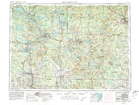
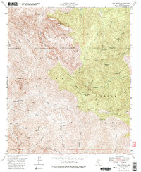
USGS Historical Quadrangle in GeoPDF.
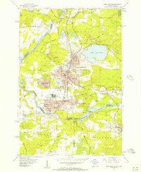
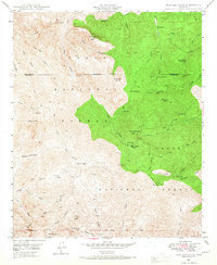
USGS Historical Quadrangle in GeoPDF.
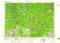
USGS Historical Quadrangle in GeoPDF.
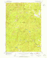
USGS Historical Quadrangle in GeoPDF.
USGS Historical Quadrangle in GeoPDF.

USGS Historical Quadrangle in GeoPDF.

USGS Historical Quadrangle in GeoPDF.
USGS Historical Quadrangle in GeoPDF.
USGS Historical Quadrangle in GeoPDF.
USGS Historical Quadrangle in GeoPDF.

USGS Historical Quadrangle in GeoPDF.

USGS Historical Quadrangle in GeoPDF.
USGS Historical Quadrangle in GeoPDF.
This publication provides digital flight line data for a high-resolution horizontal magnetic gradient and radiometric survey over the Ironton, Missouri area of southeast Missouri. Data were collected using a fixed wing aircraft with magnetometers mounted in the tail stinger and each wing tip pod and a fully calibrated gamma ray spectrometer. The survey operated out of the Farmington, Missouri airport during January to mid-February of 2016. The survey covers an irregularly shaped region within a 54 x 53 square-kilometer area centered on the town of Ironton, Missouri. Data were collected along north-south flight lines spaced 300 meters (m) apart with east-west tie lines flown every 3000 m. A mean terrain clearance...
Categories: Data;
Types: Citation,
Downloadable,
Map Service,
OGC WFS Layer,
OGC WMS Layer,
OGC WMS Service,
Shapefile;
Tags: CGGSC,
Cedar Hill,
Crustal Geophysics and Geochemistry Science Center,
Iron Mountain,
Ironton,

USGS Historical Quadrangle in GeoPDF.
USGS Historical Quadrangle in GeoPDF.
USGS Historical Quadrangle in GeoPDF.
USGS Historical Quadrangle in GeoPDF.
USGS Historical Quadrangle in GeoPDF.
USGS Historical Quadrangle in GeoPDF.
|

|
